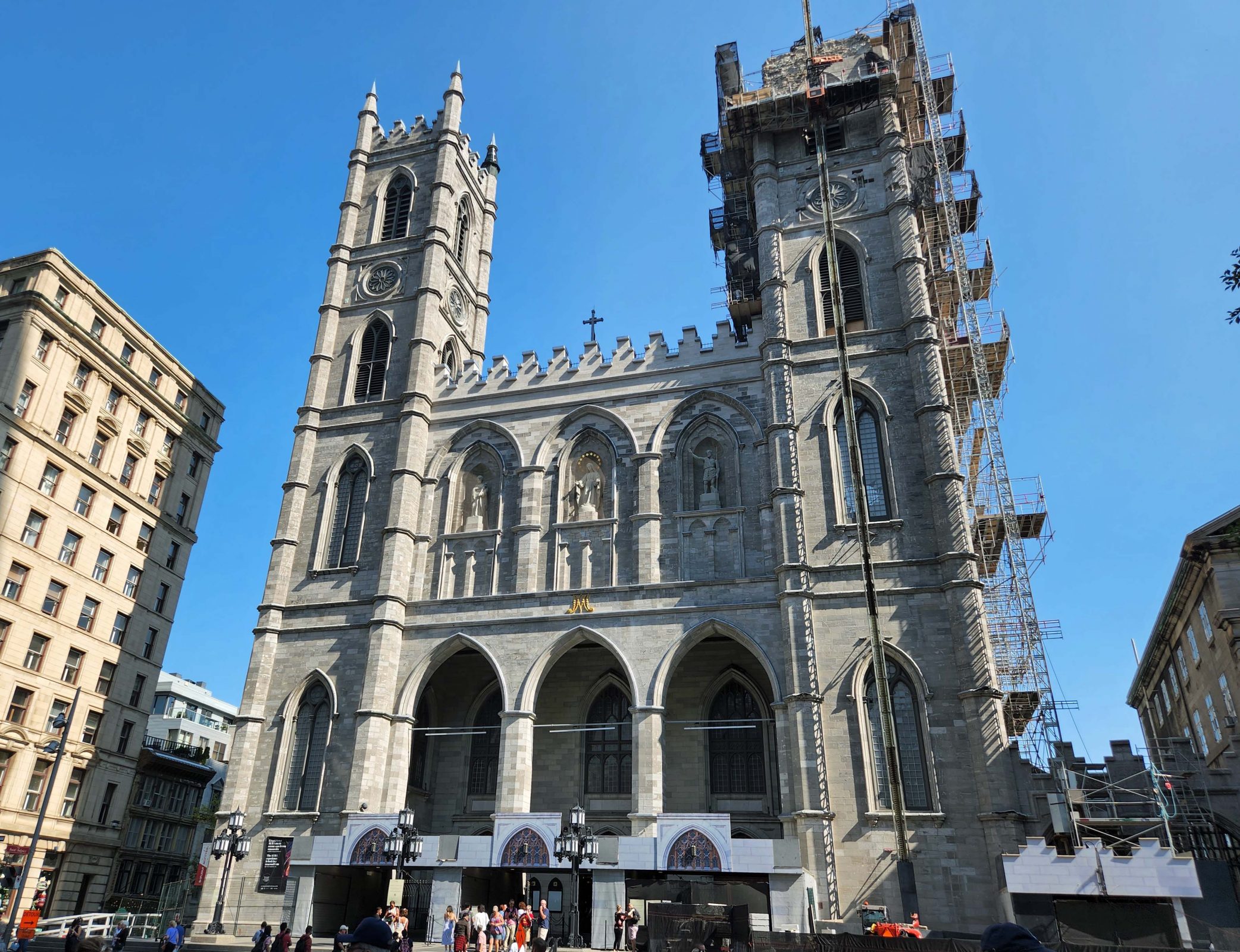
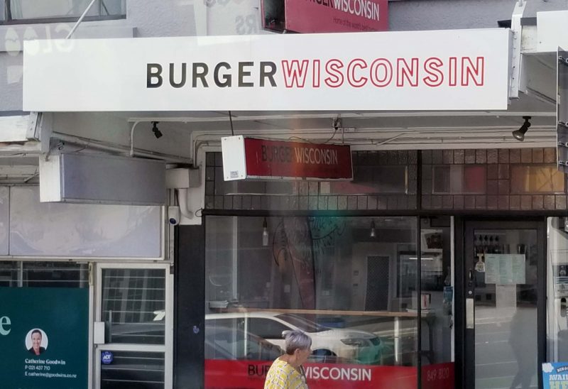
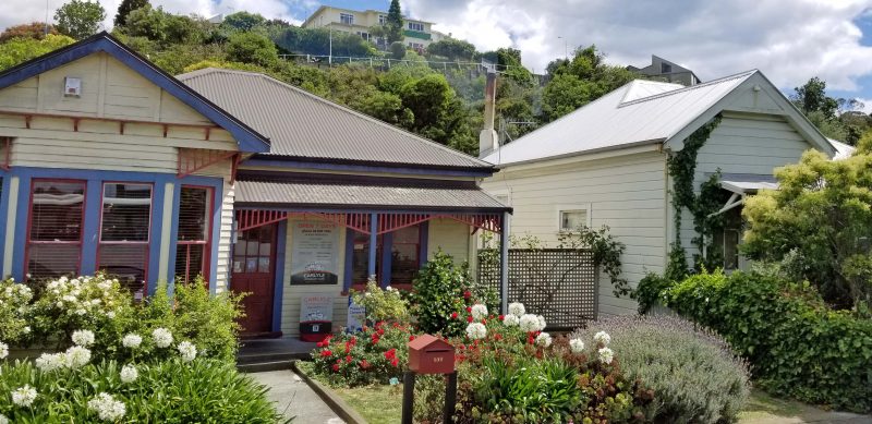
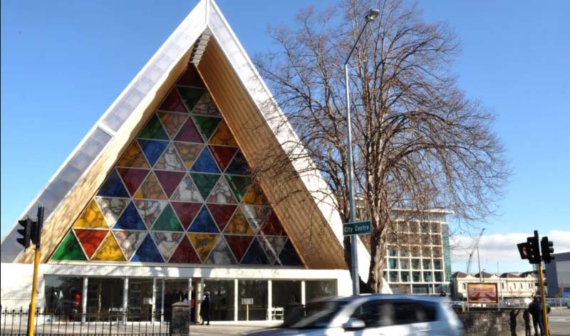
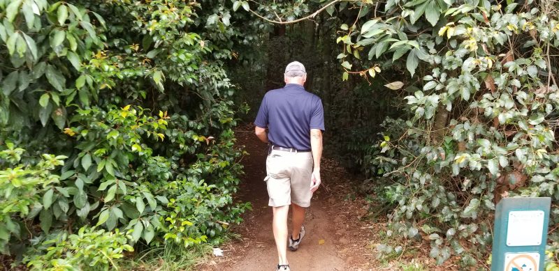
Québec City is one of only two walled cities in North America; the other is Campeche, Mexico. Although Québec City used to be known for its large number of banks and insurance companies, today there are no banks at all within the walled city–only ATMs. Neither are there any grocery stores within the old city walls–only convenience stores. Québec is the only Canadian province that uses French as its official language. More English is spoken in Montreal than anywhere else in the province, but there are laws in place to protect the French language within the province. Fluency in French is a requirement for getting a job in Québec. Under Bill 96, which became effective September 1, 2022, government agencies will have to use French exclusively in their written and oral communications, with few exceptions, and businesses will have to ensure the “net predominance” of French on signs that include more than one language. Ted and I took a four-hour walking tour of the old walled city–Vieux-Québec–and, thankfully, our guide spoke English.
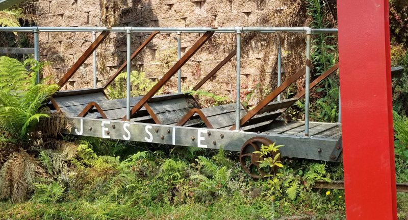
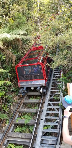
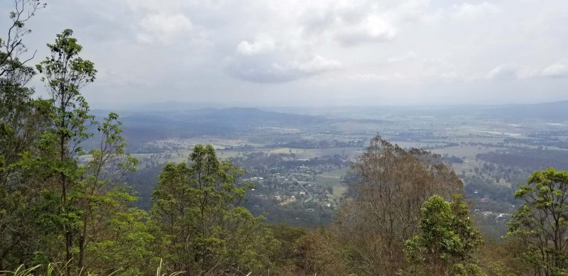
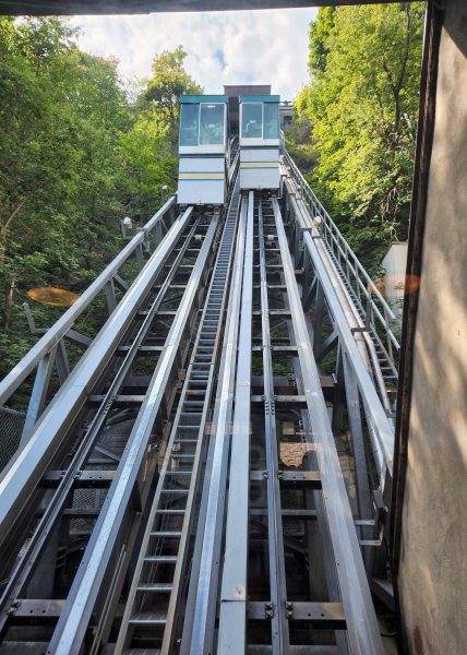
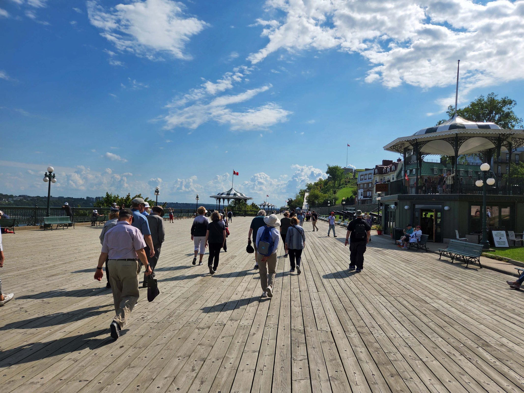
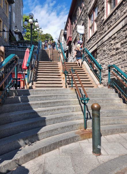
Québec City is very steep. Stairs are everywhere to take pedestrians from one street up–or down–to the next. The shortest stairway in the city is 7 steps; the longest is 368 steps. The funicular provides an alternative to climbing those 368 steps. We started our walking tour by taking the funicular to the top of the bluff. From there, our tour went downhill–literally, not figuratively.
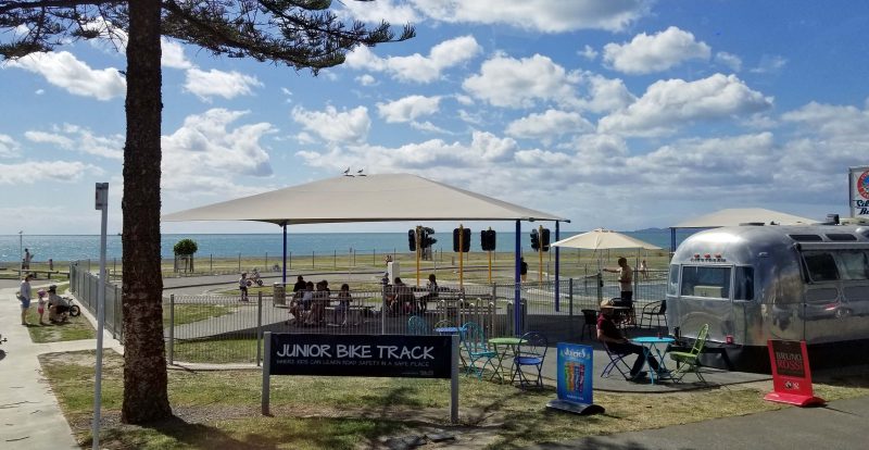
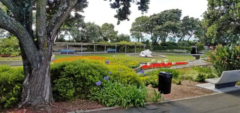
The funicular stops at the boardwalk, near the top of the bluff. Festivals and other events are held on the boardwalk. You can see a Canadian flag over the gazebo in the center of the photo and another higher flag to the right of that one.
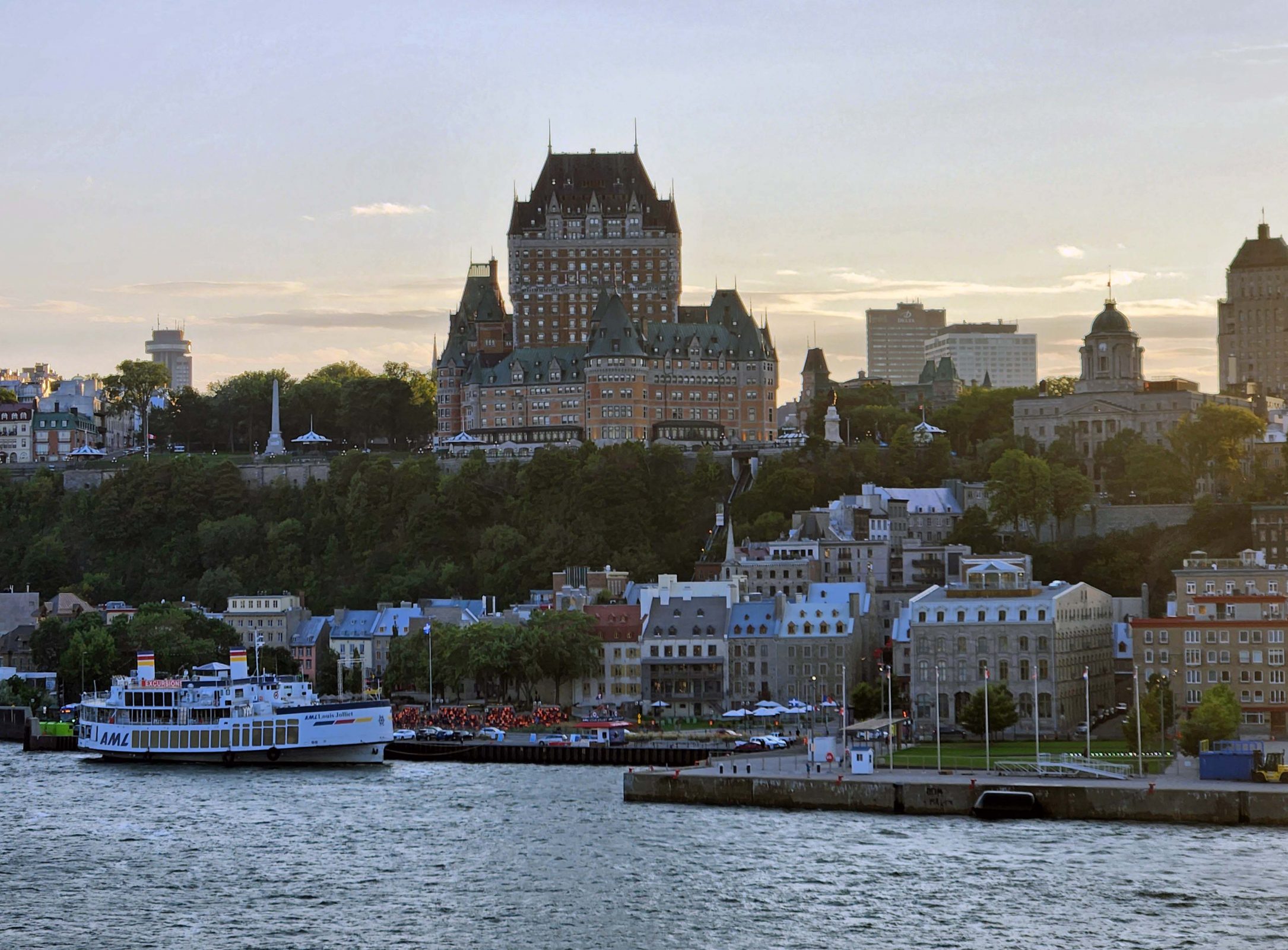
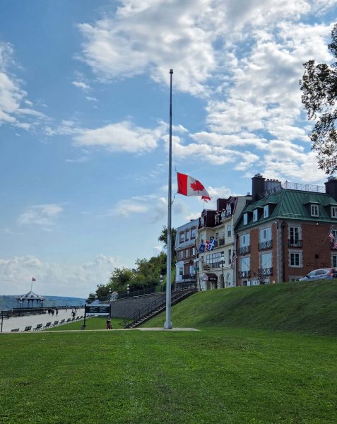
From the boardwalk, we went up several short stairways to reach the Château Frontenac, one of Canada’s grand railway hotels built by the Canadian Pacific Railway. As we were climbing the stairs, we noticed that the flag was at half-staff. Queen Elizabeth II had just died. I was very young when she became Queen, but I remember watching her coronation on television. My family didn’t have a TV yet, but one of my mom’s friends did. That friend also had a daughter my age, and she and I were friends, just like our mothers. We had a ladies’ day, watching the pomp of the coronation. Like so many people today, Queen Elizabeth II was the only British monarch I remembered, and it was sad to see the flag at half-staff in memory of her.
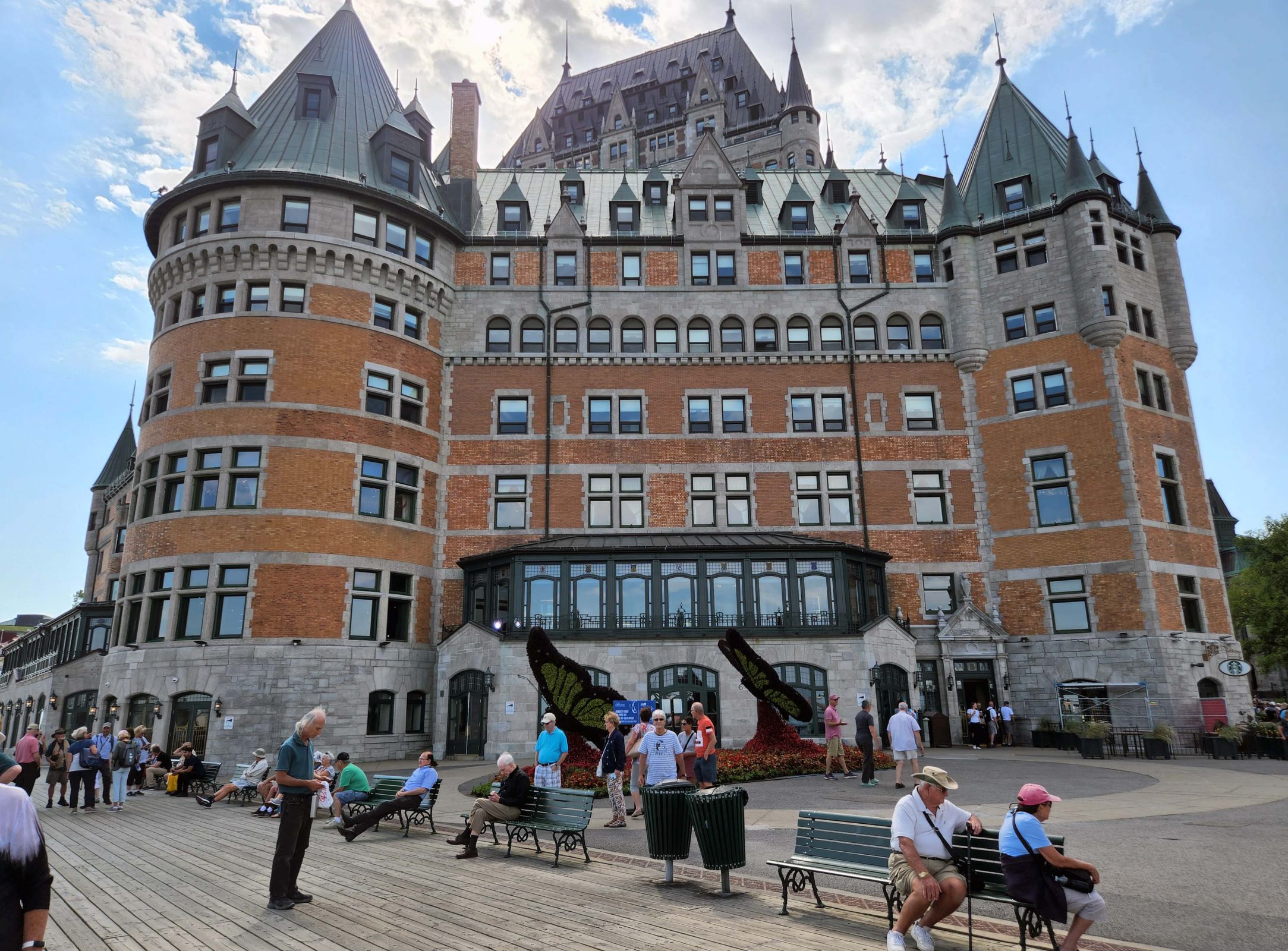
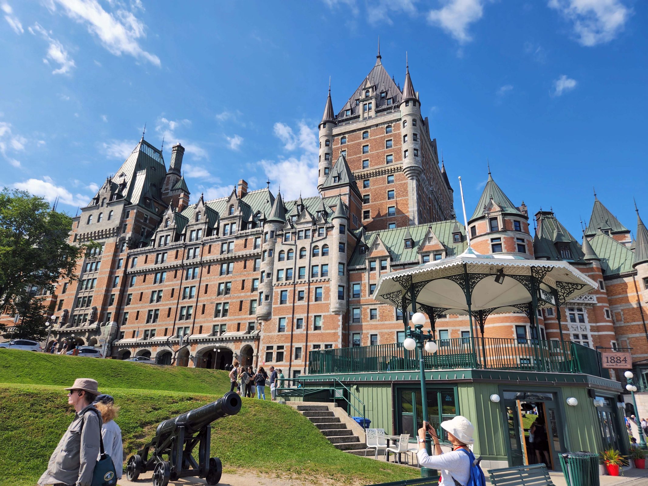
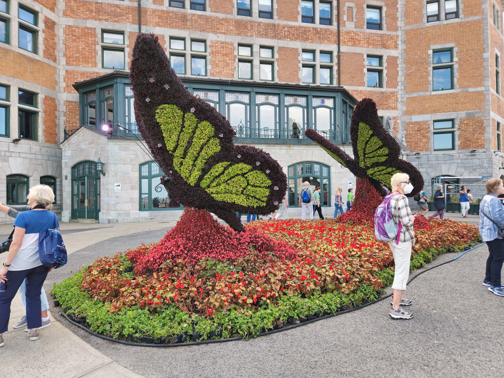
The Château Frontenac at the top of the bluff is massive. The first photo shows the side of the Château that faces the “new” city; the second photo is a side view of the Château. In the second photo, you can see that the ground slopes upward at least four stories from one end of the Château to the other. Ted and I thought Montreal was hilly, but we hadn’t seen real city hills until we got to Québec! The third photo shows the floral butterflies in front of the Château.
We walked from the Château Frontenac past the Ursuline convent. Actually, we had to take our guide’s word for that. The Ursulines value their privacy and the convent is well-hidden behind other buildings, trees, etc. so we didn’t actually see it. The Ursulines were the first nuns to come to Canada and founded their convent in 1639. The sisters studied the native languages and then taught native children reading and writing as well as needlework, embroidery, drawing, and domestic arts. The Ursuline convent in Québec City is the oldest educational institution for women in North America.
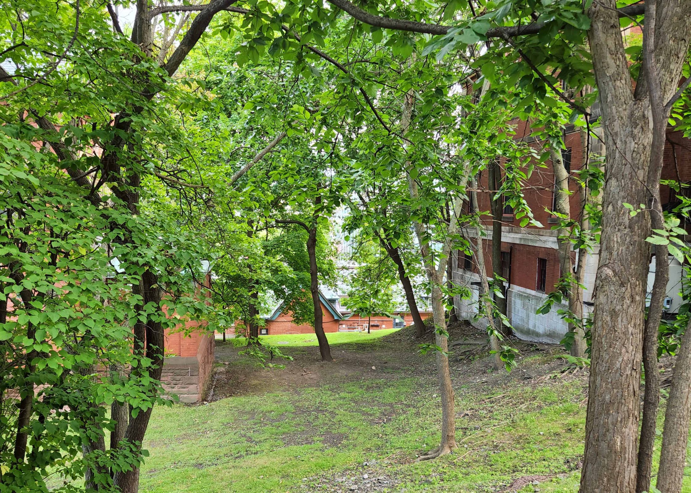
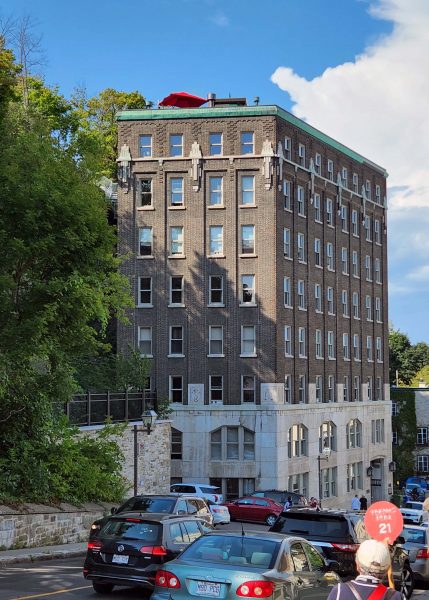
We walked across the top of the bluff to the Citadel fort and arrived at a stone wall that was about three feet high. It didn’t look like much of a defense against enemies unless you looked over the edge. Here’s a photo of an apartment building at the base of the bluff below that low wall. The entrance on the right is at the level of the street on that side of the building; the entrance on the left is at the eighth floor of the building and has a short stairway up to the next street. Access to the inside elevator is for residents only; everyone else has to climb the stairs. The top of the bluff is higher than this building, so the three-foot-high wall at the top was probably sufficient for defense.
Much like our walking tour of Montreal, our Québec tour guide made comparisons between Montreal and Québec, but this time, Québec was always a little bit better than Montreal. I definitely sense some city rivalry going on.
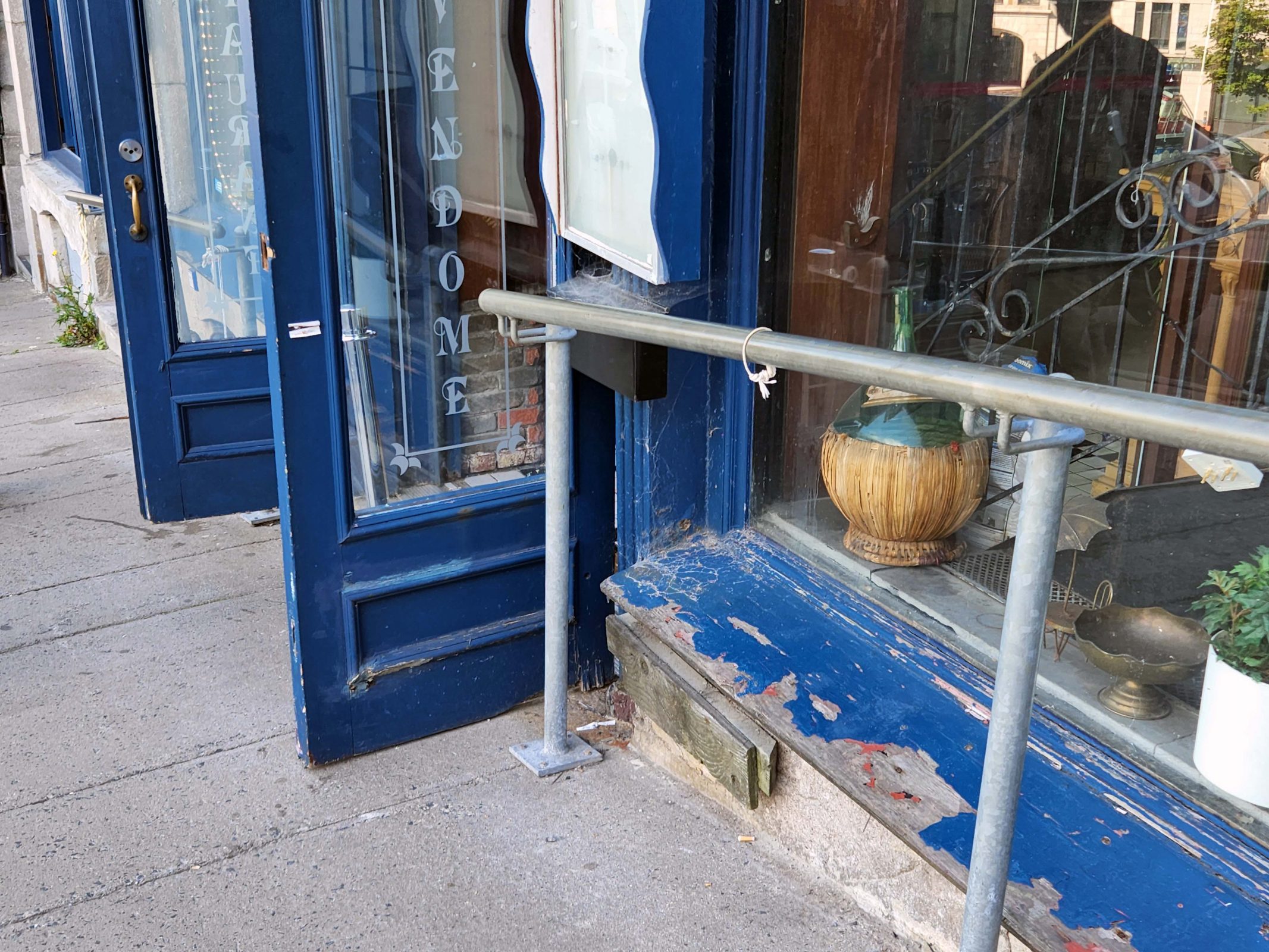
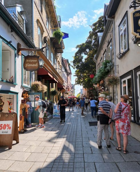
We worked our way down the slope of the bluff and past some shops where I noticed railings along the sidewalk. Our guide told us that in spring and fall (wet, freezing), the sidewalks can be dangerously slippery for walking uphill and downhill, so the railings help prevent falls.
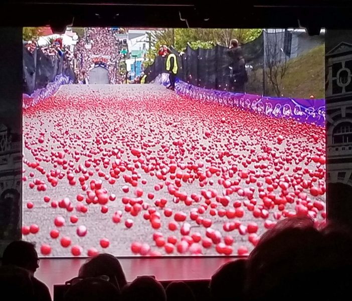
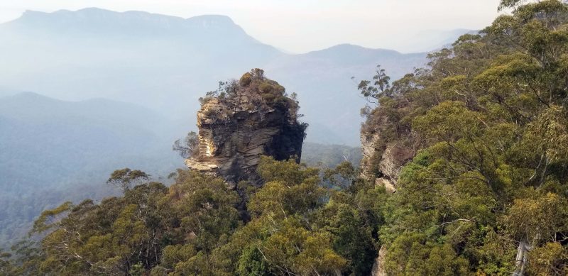
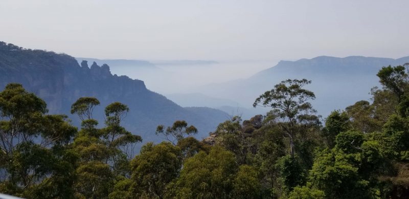
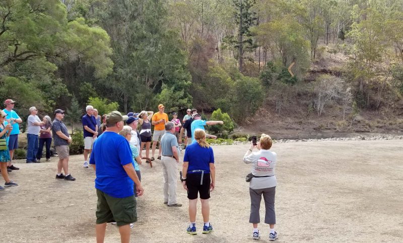
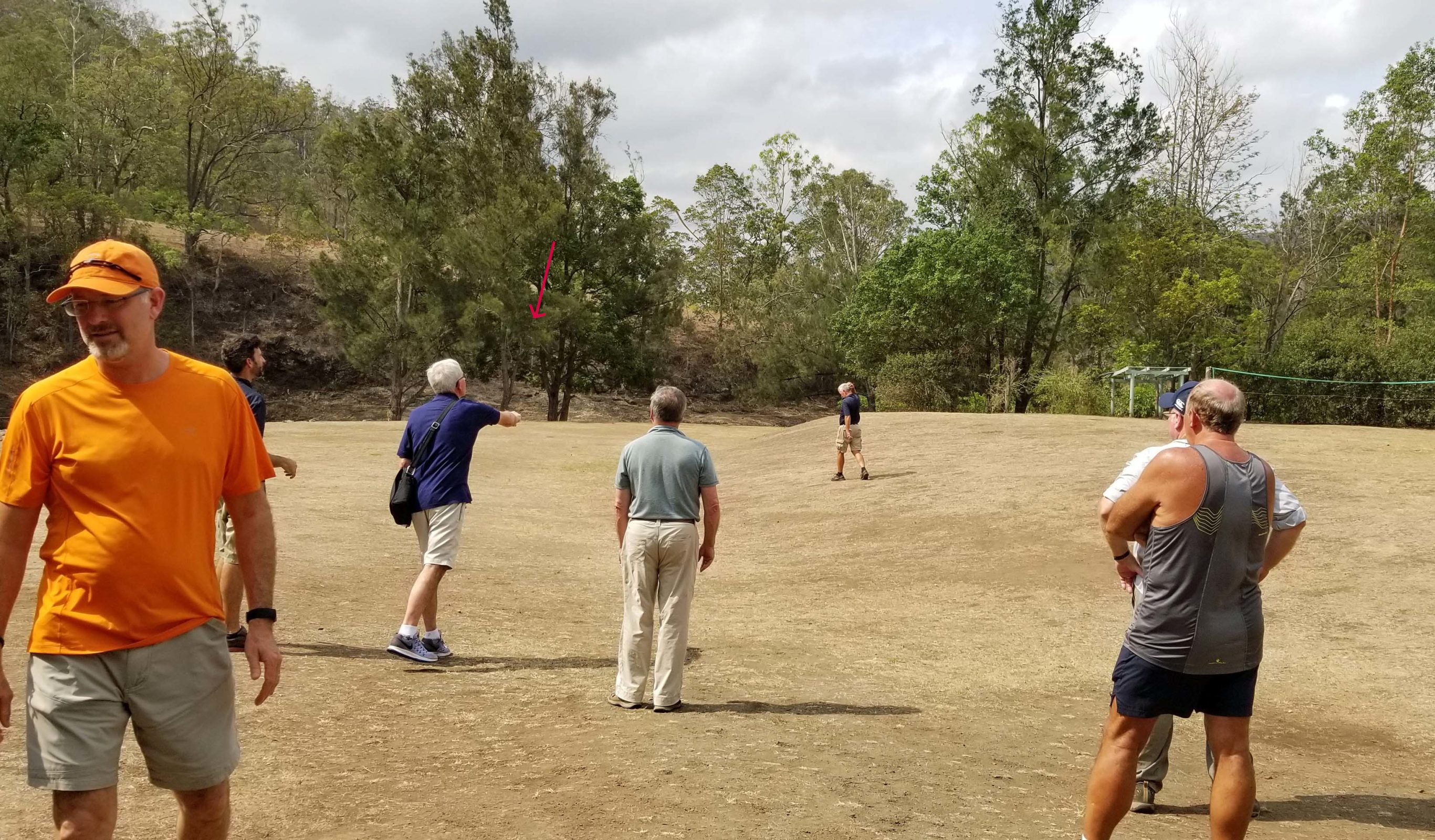
A little farther down this hill, our guide told us about tomorrow’s Grand Prix Cycliste de Québec–a bicycle race. The race is not point-to-point, but instead, requires 16 laps of 12.6 km (7.8 mi.) each for a total of 201.6 km (124.8 mi.). There are 4 climbs in rapid succession on each lap: the first climb is a distance of 375 m at a 10% average grade; the second is 420 m at a 9% average grade; the third is 190 m at a 7% average grade; and the last is 1,000 m at a 4% average grade. Repeat these 4 climbs 16 times. The finish is uphill. Here’s a view from the corner of one climb. It continues downhill to the right of the photo at an even steeper grade. Approximately 400 (crazy) racers are expected to participate tomorrow.
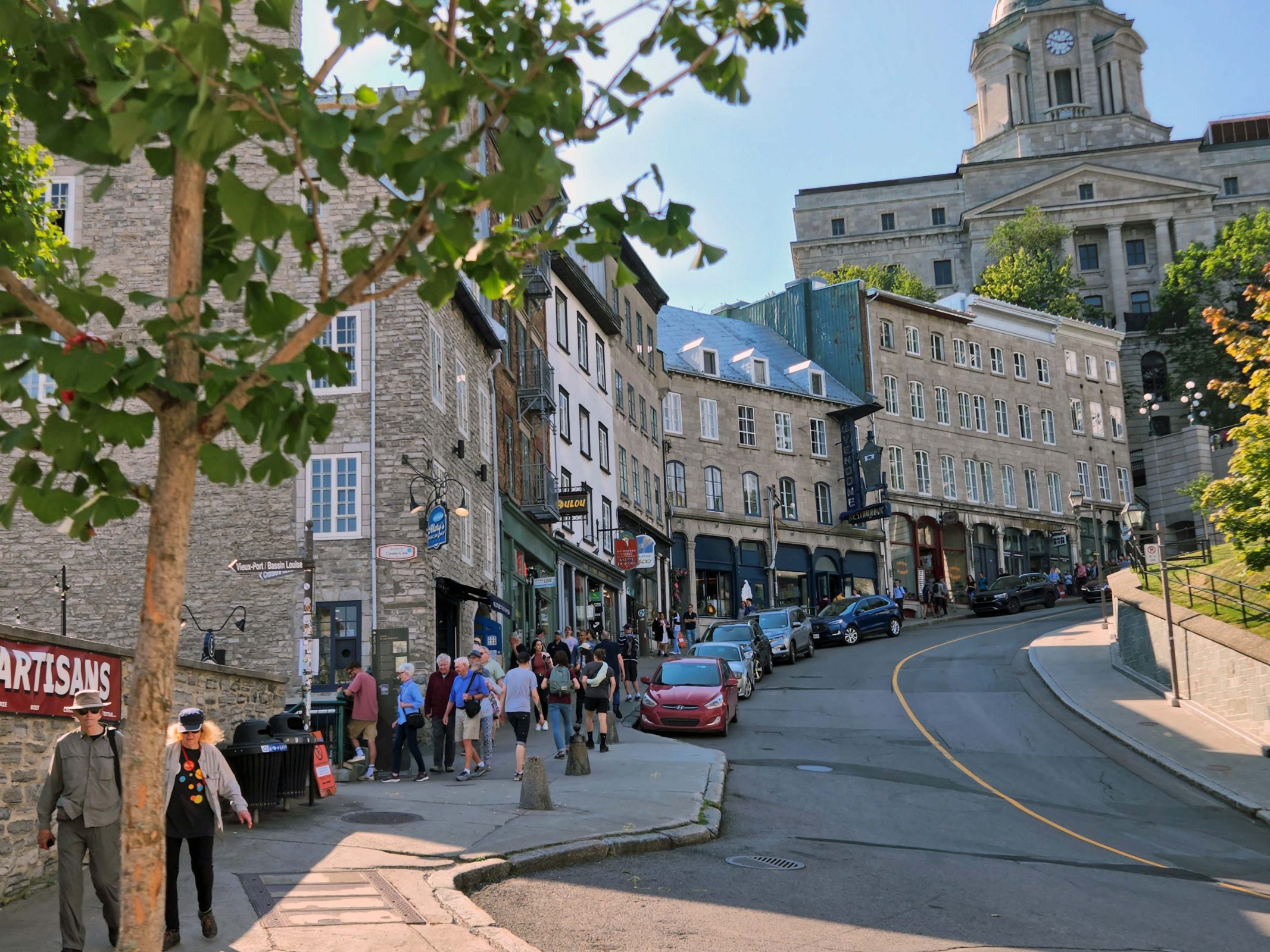
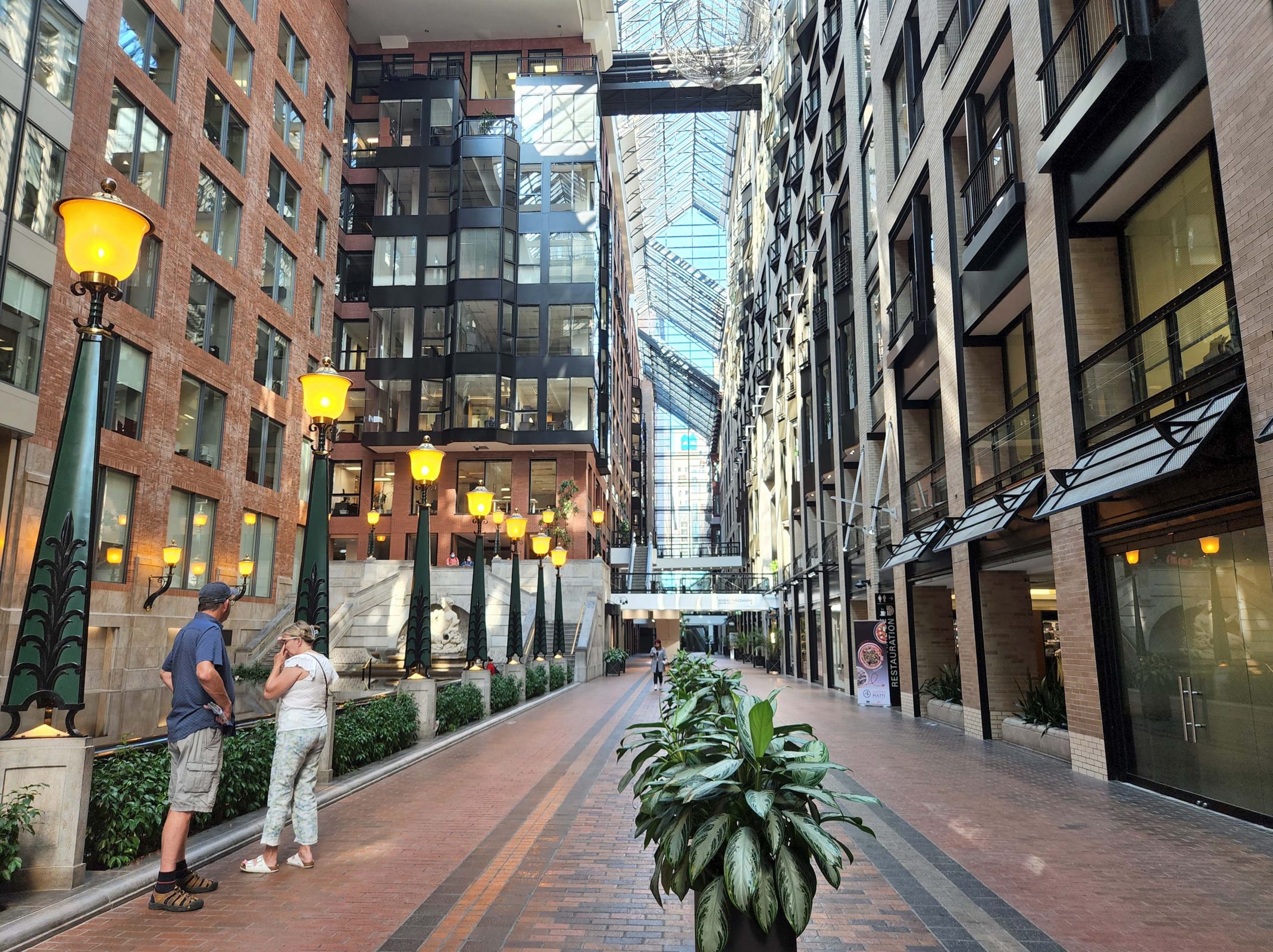
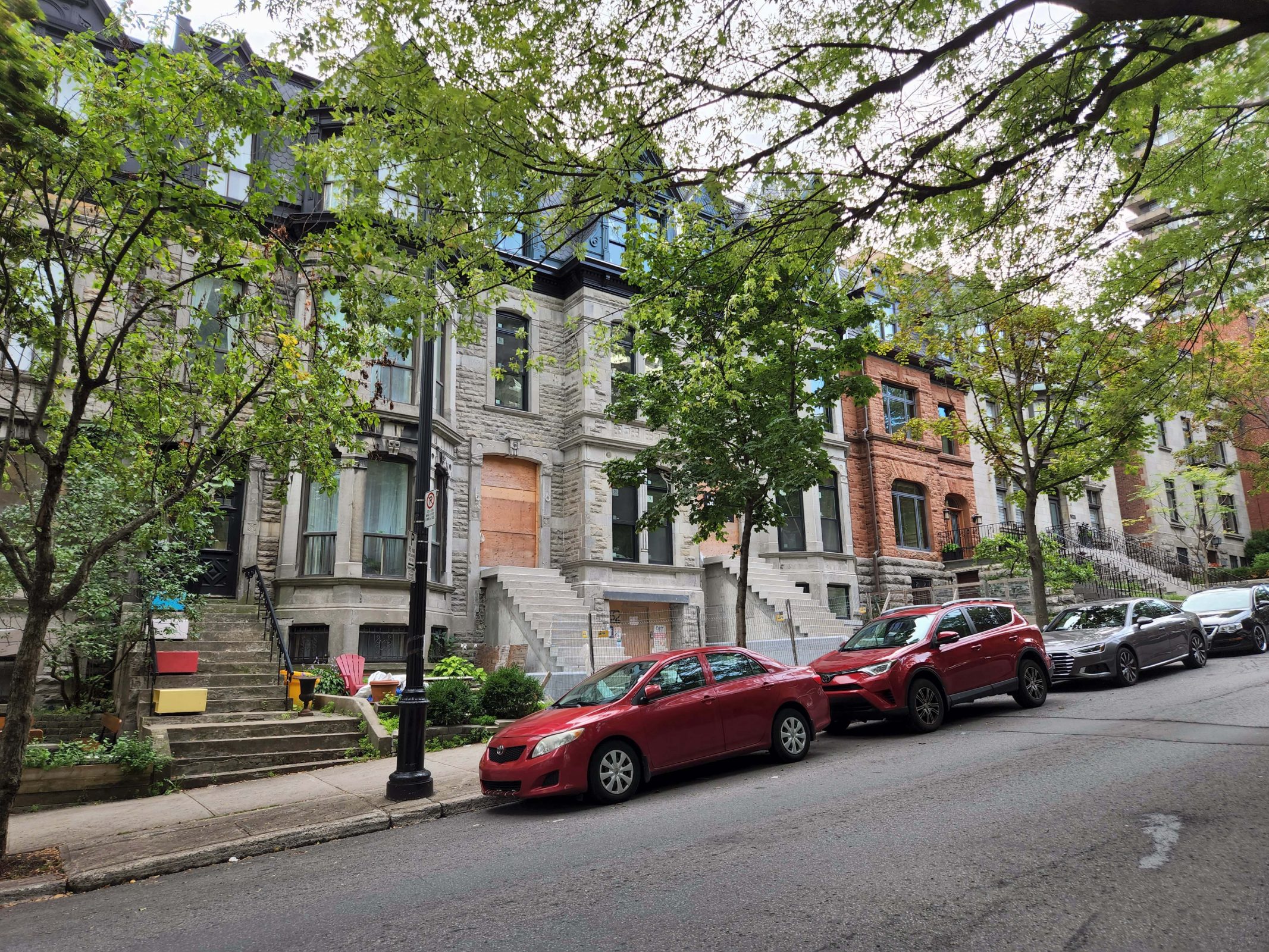
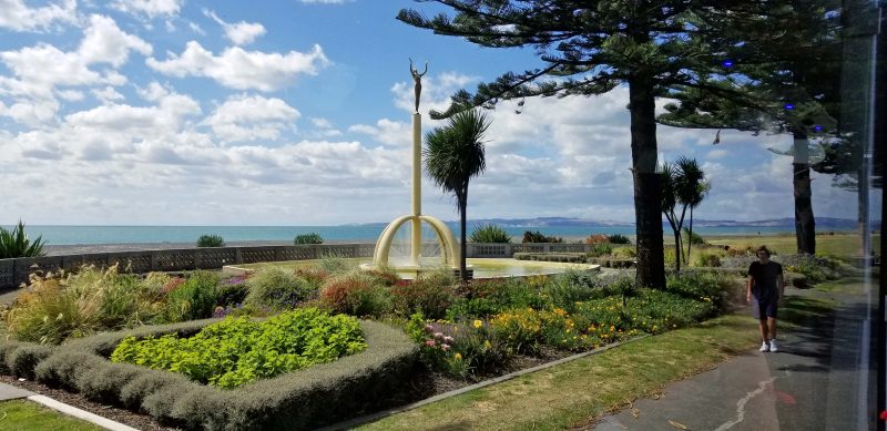
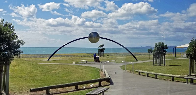
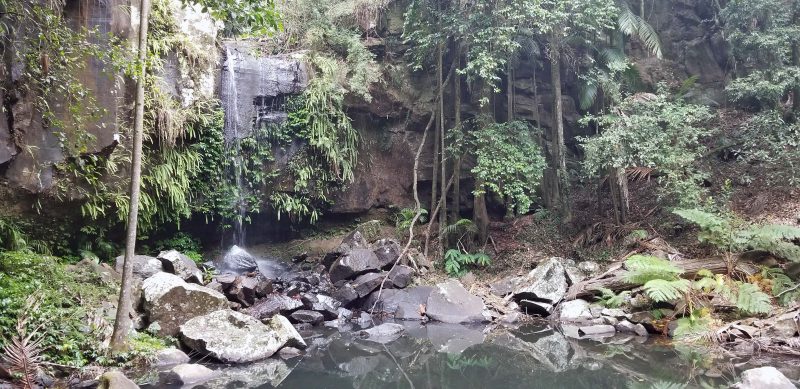
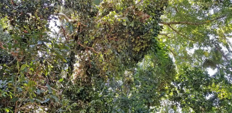
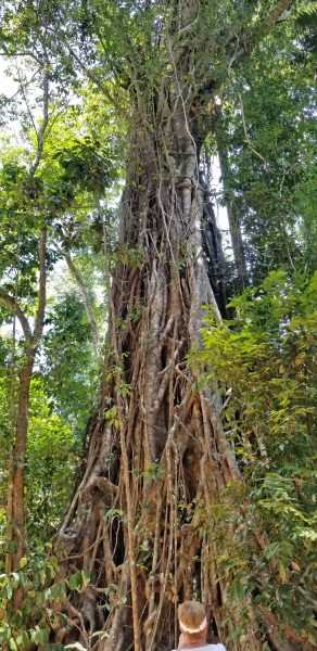
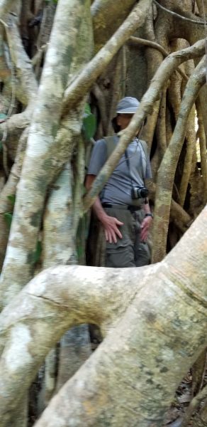
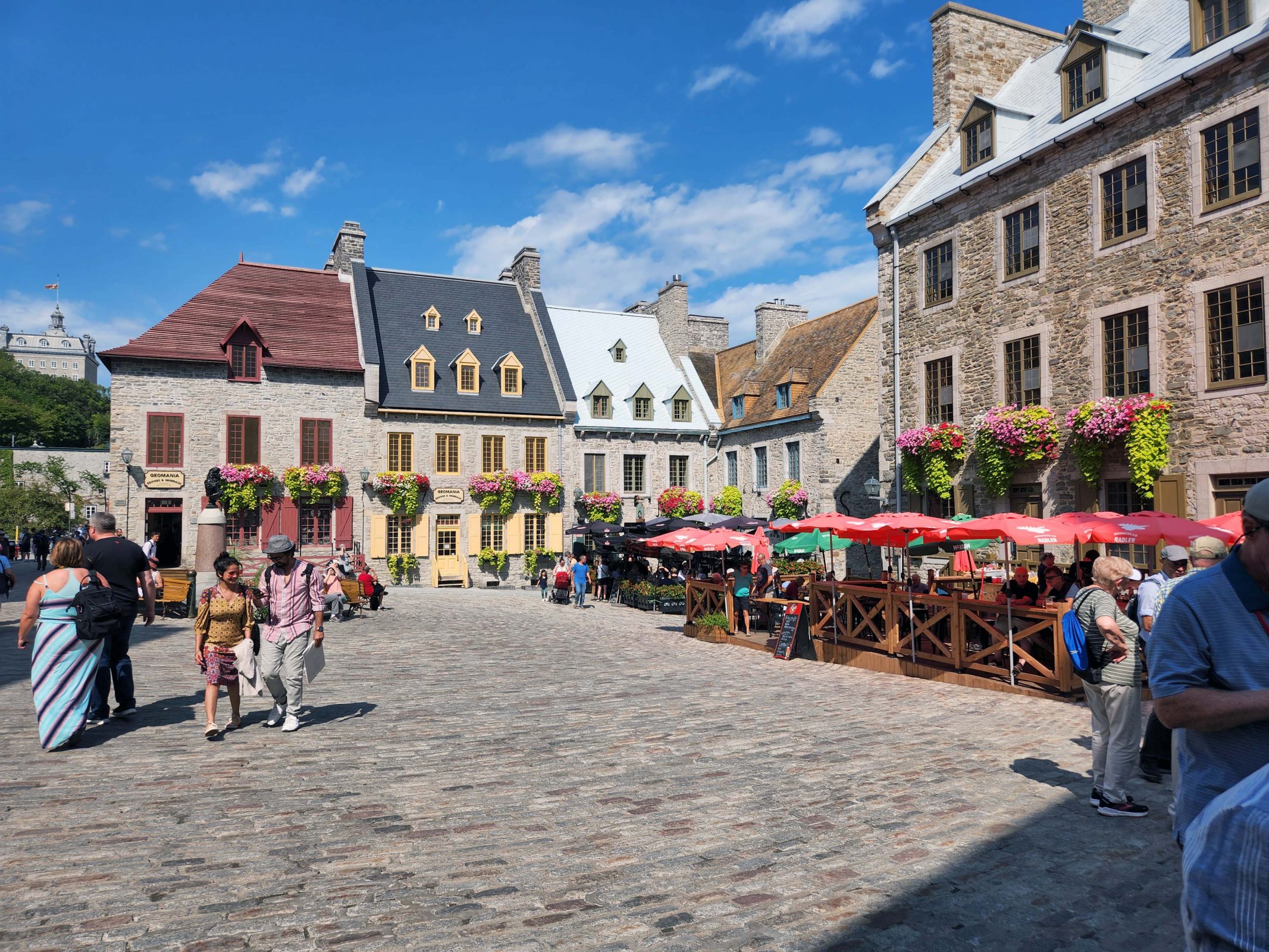
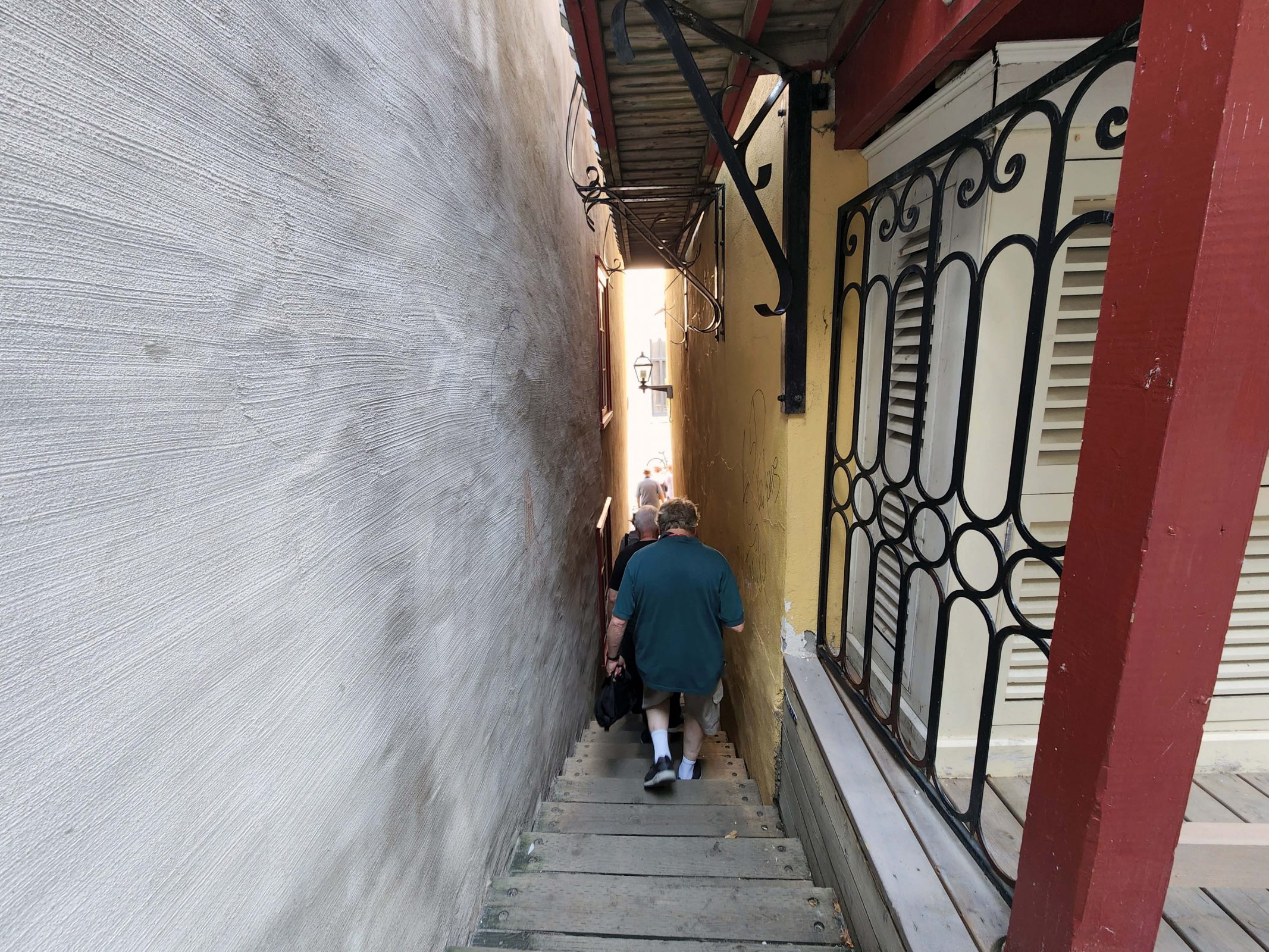
On our walking tour, we saw some pretty streets and plazas. And lots of stairways.
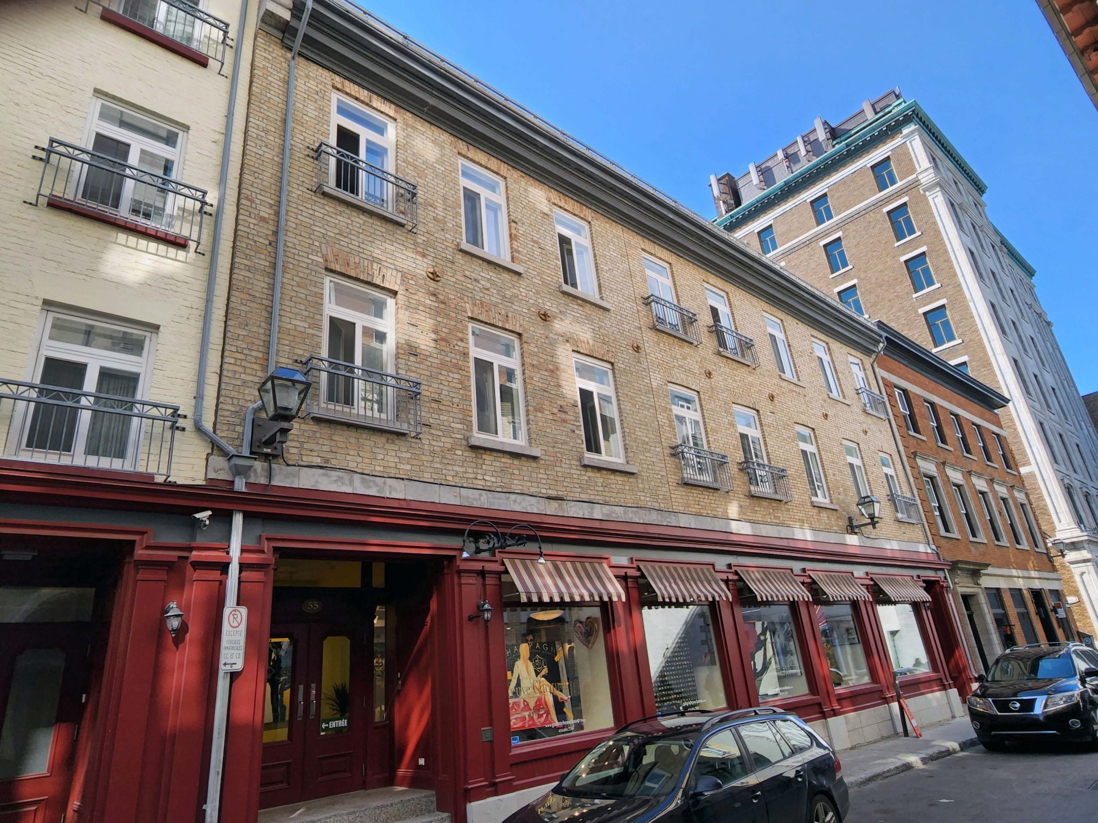
In the early days of British settlement in Canada, timber was a major export to Europe. It was difficult to sail an empty ship across the Atlantic to Canada, so the Scottish ships used yellow bricks for ballast, dumped them at the port when they arrived, and replaced them with timber for the return voyage. The Canadian settlers called the discarded ballast “Scottish yellow brick” and used it for buildings that still exist today, like the one in the center of the photo below.
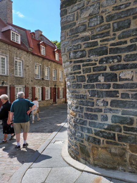
When buildings are built of stone rubble, rounded corners add strength to the structure.
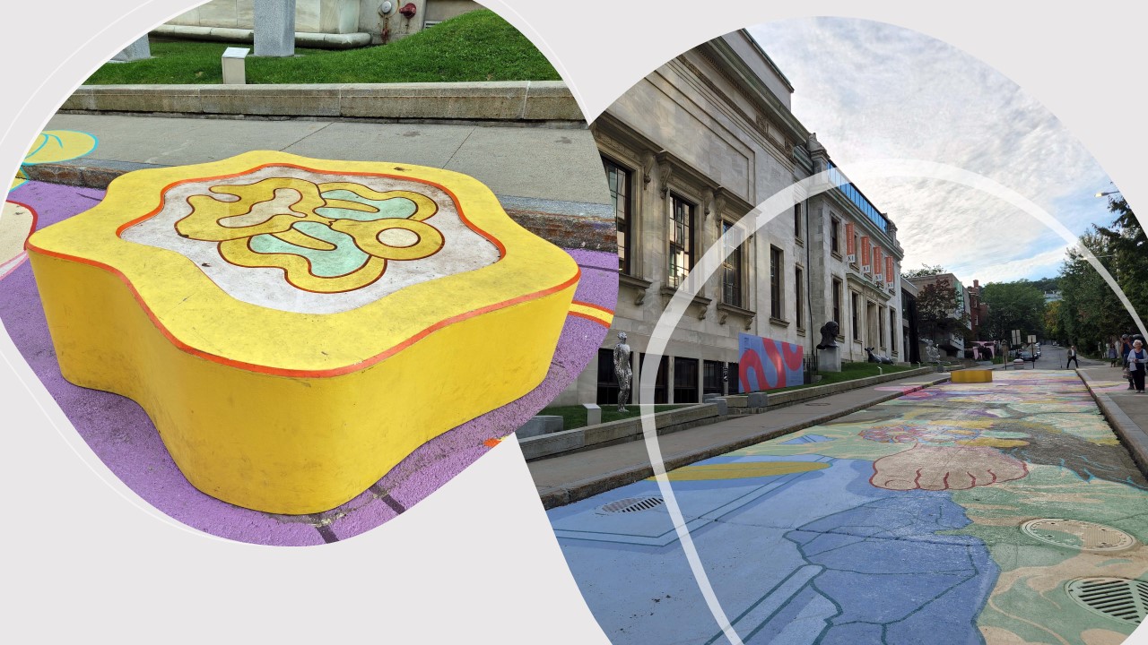
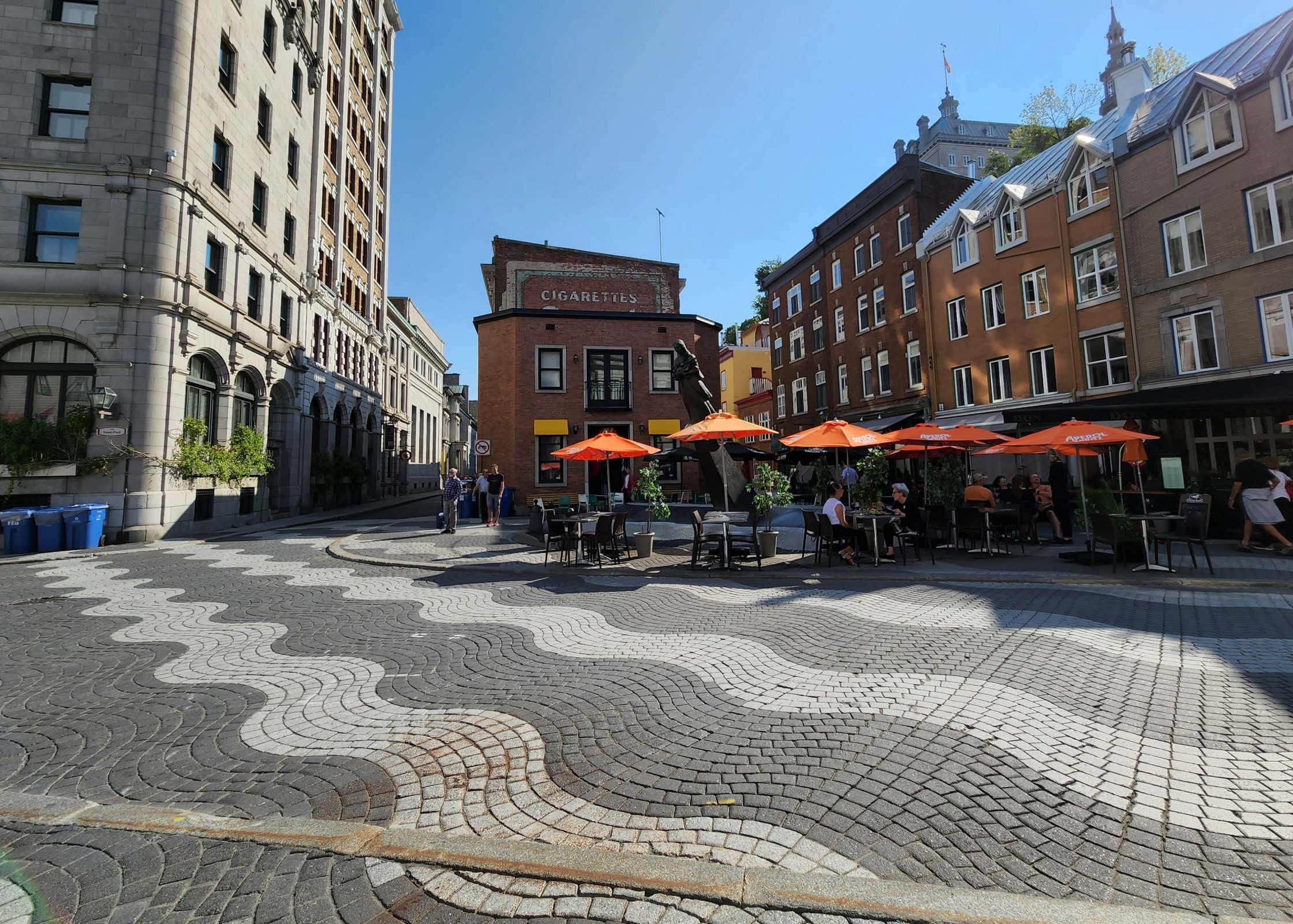
For centuries, Québec City residents filled in the St. Lawrence River to make more land. The wavy lines in this plaza and elsewhere in the city indicate areas that used to be river water.
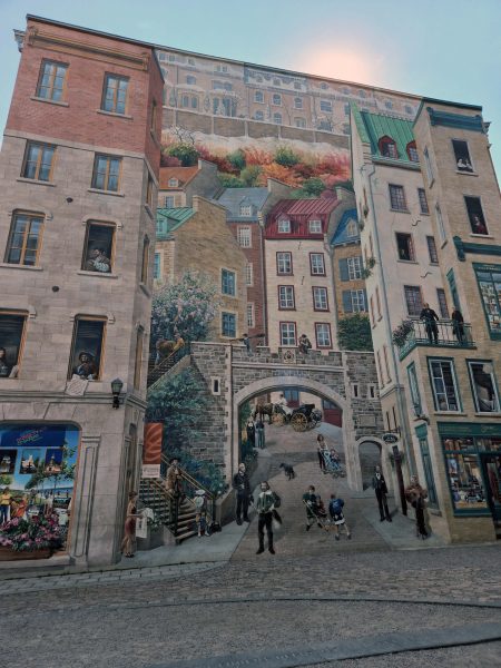
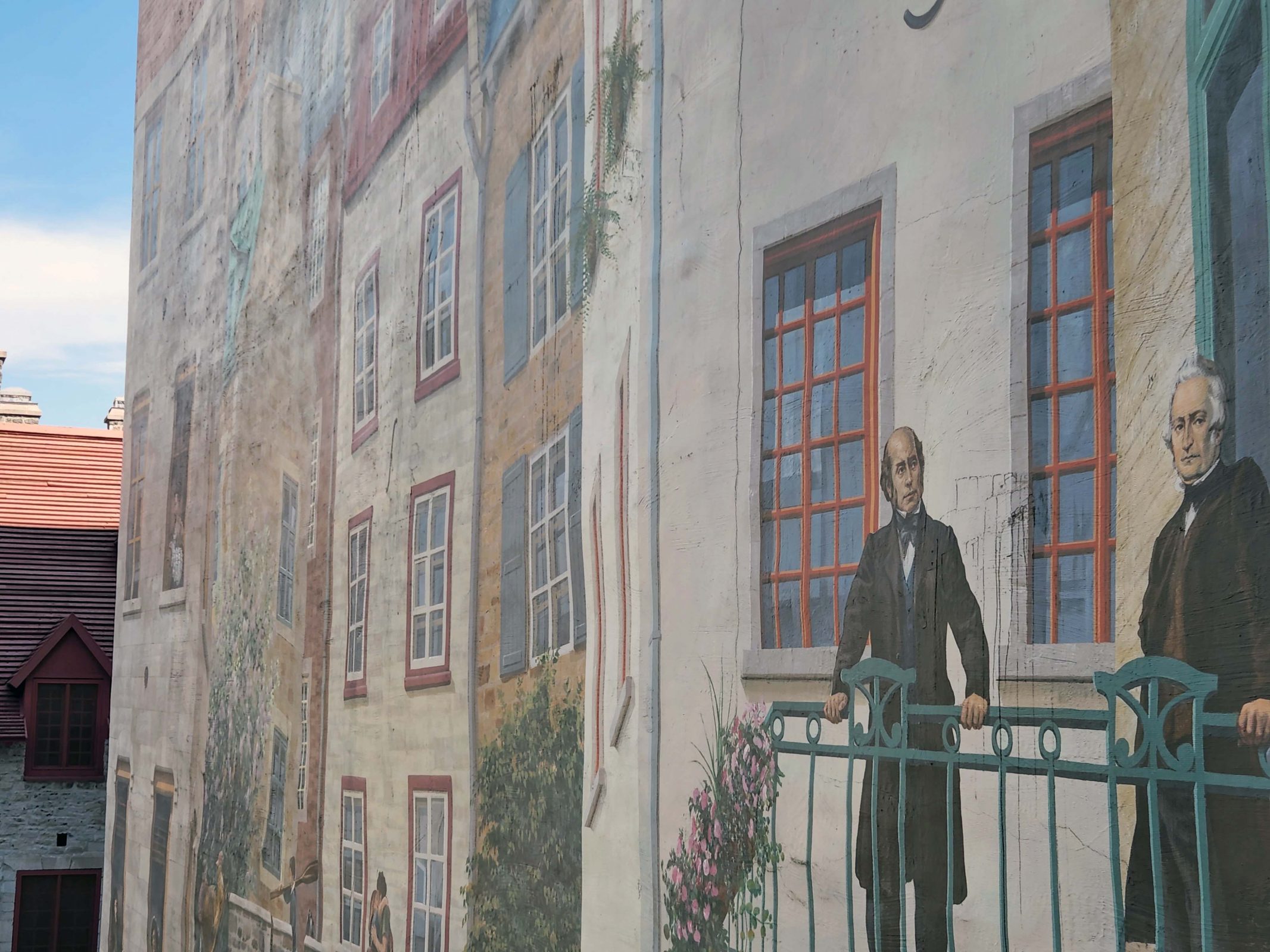
The painting below looks very realistic in person; it has less depth in a photograph. When we saw it across the plaza, it was difficult to believe that the scene was flat. I took a picture of it from the side to prove it. You can tell by the second photo that the sidewalk I stood on to take the second picture was at the third floor of the building where the two men are standing on the balcony in the picture. Yes, steep hills and stairs.
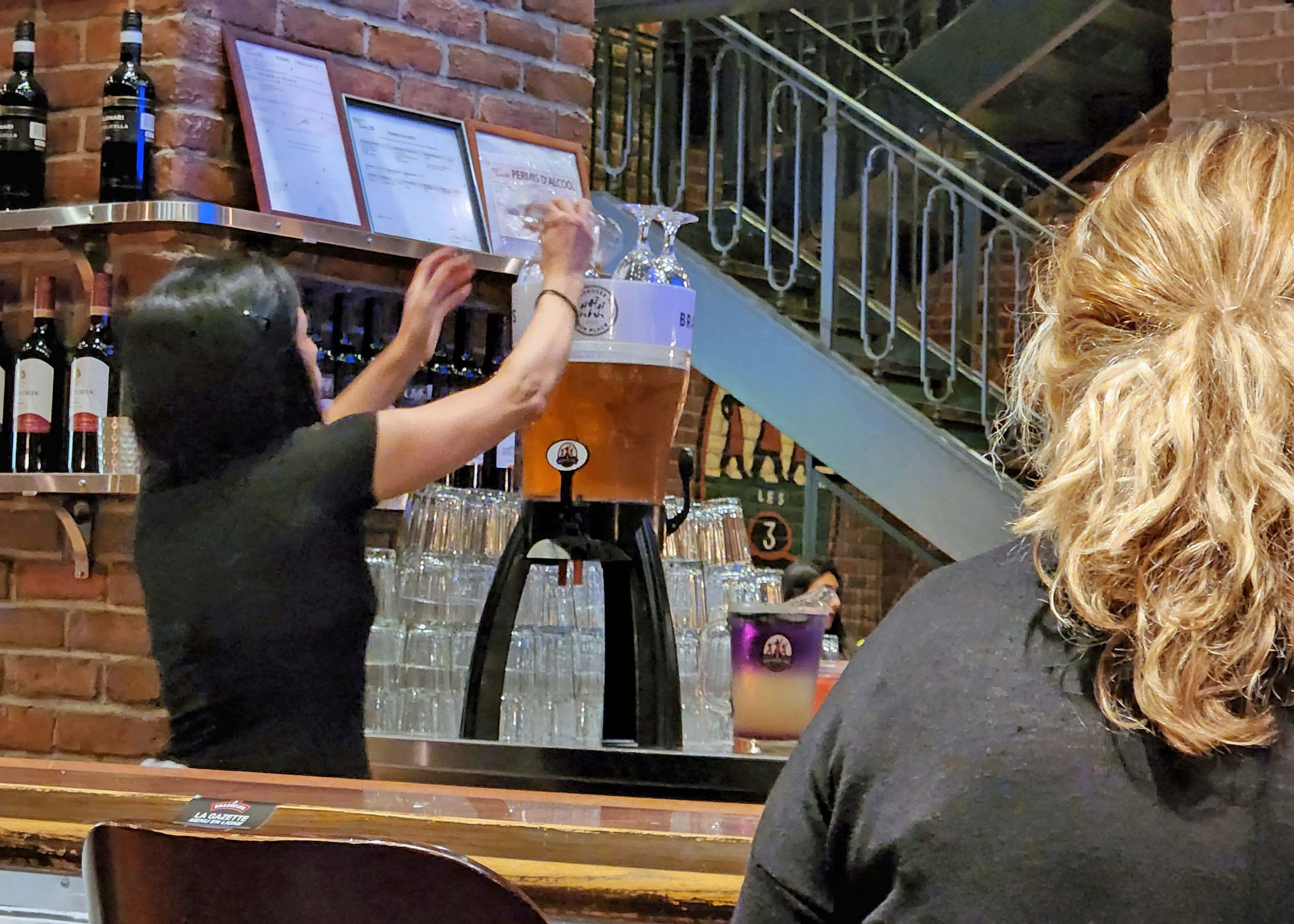
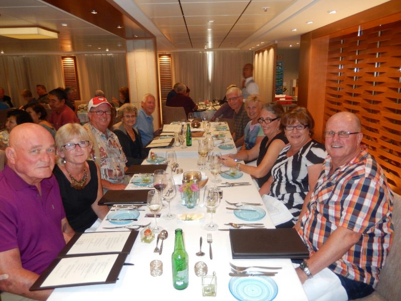
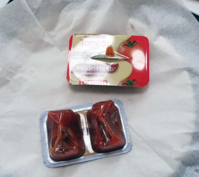
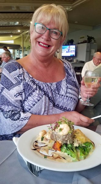
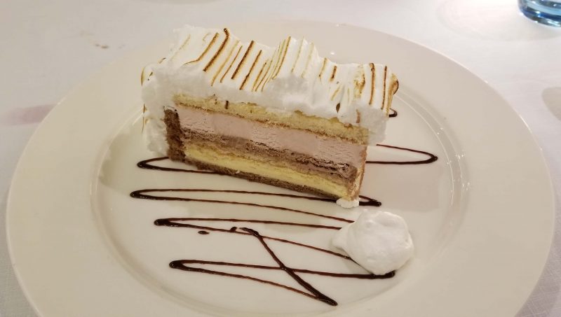
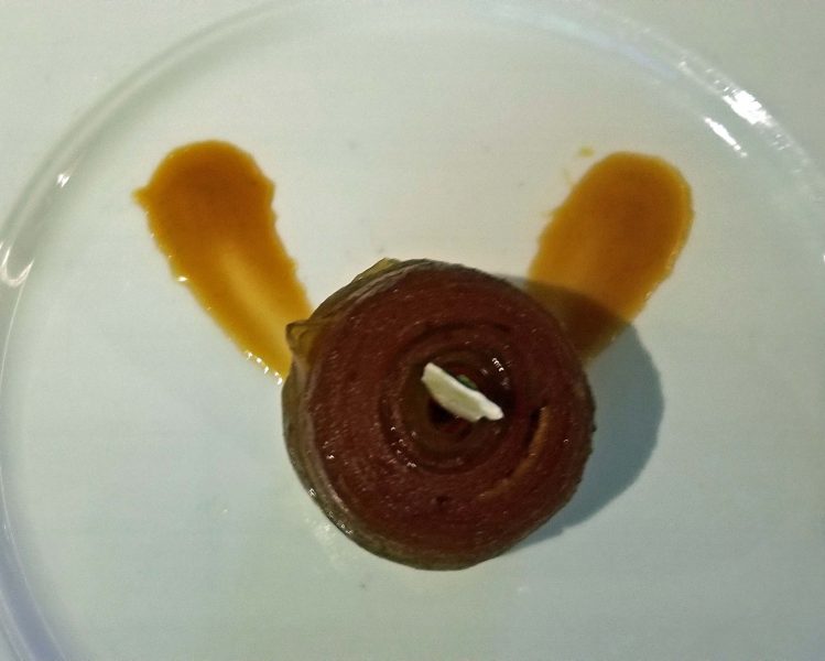
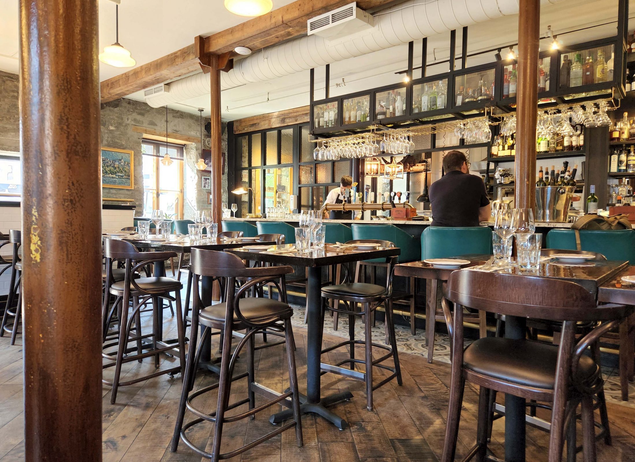
At the end of our tour, there was a group stop at a pub for a much-needed snack. The snack included a glass of wine, sausage, shallots, and mustard caviar on some cracker-like bread. It was all good.
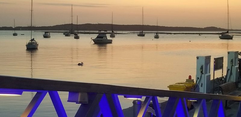
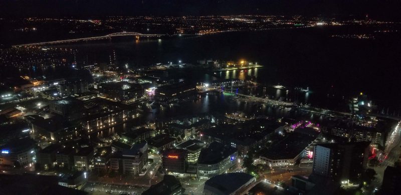
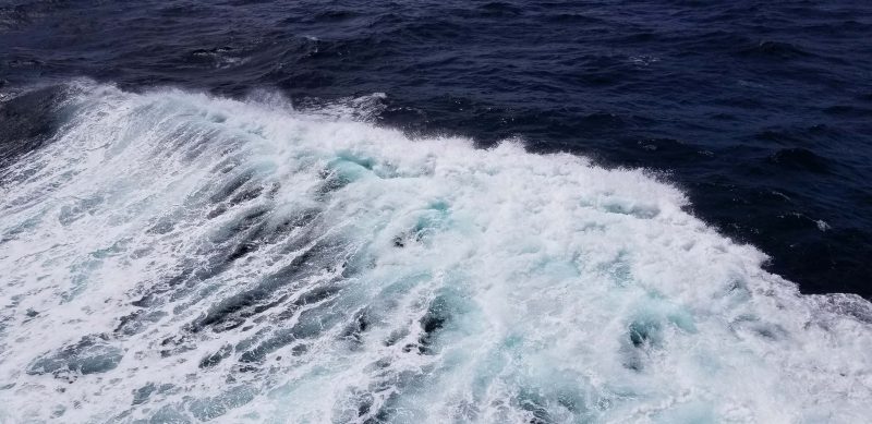
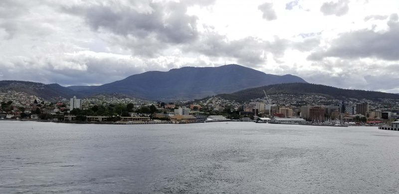
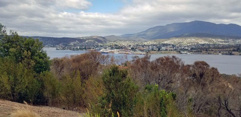
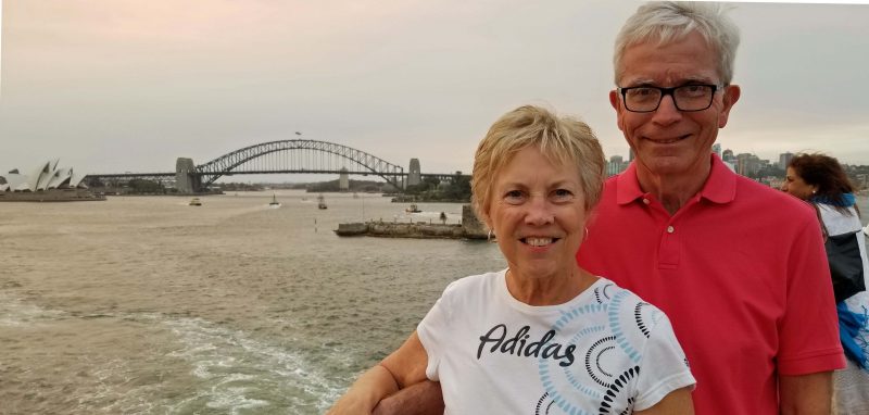
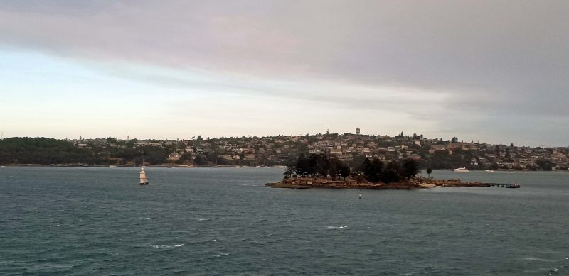
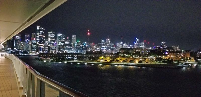
At sunset, our ship left port, heading toward our next stop: Saguenay. The Château Frontenac dominates the Québec City skyline.