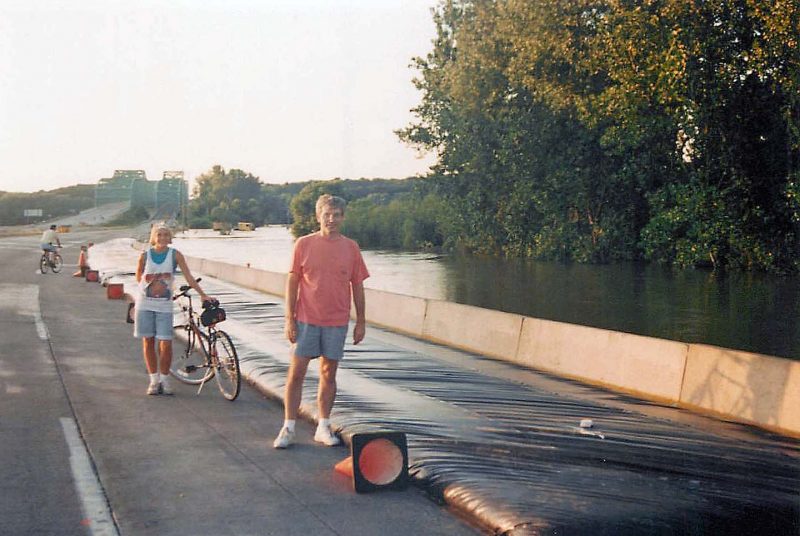
A week ago, the St. Louis area made the national news for the prodigious amount of rain we had in a 24-hour period. We weren’t really excited about breaking the 24-hour rainfall record by over 2 inches, but it happened. State and federal disaster aid is available to flood victims.

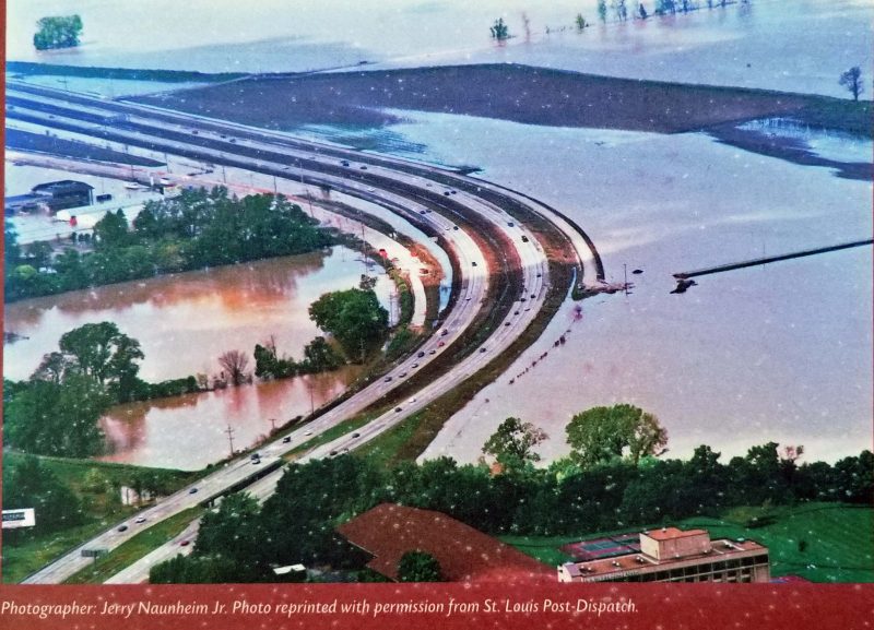
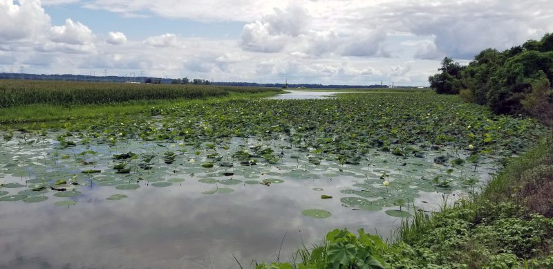
River floods are a result of heavy rain or rapidly melting snow upstream and affect areas along the riverbanks. Rainfall events are different: the rain falls faster than the ground and drainage systems can handle it, forcing it to accumulate in any low-lying area at the bottom of any hill. Unfortunately, we had three heavy rainfalls over short periods of time in fewer than seven days, severely affecting many homes and businesses. The owner of one business said his ground floor was covered by water three times in a week. Countless cars were completely submerged by flood waters. Because of the power of the moving water, rescue teams had to exchange smaller boats for larger ones.

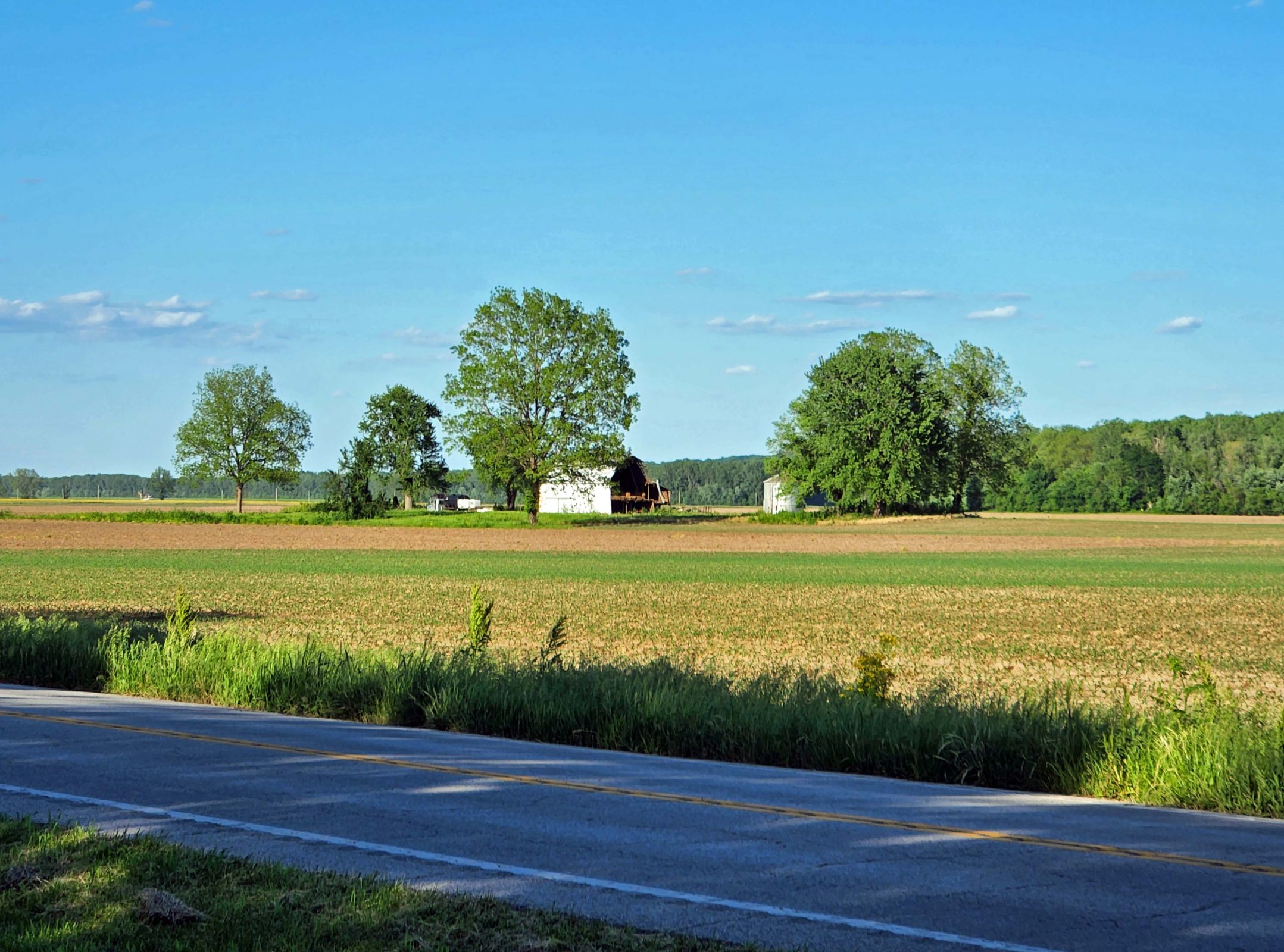
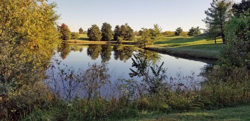
Our rain gauge overflows at 5 inches, but the official reading for our area was 12 inches. Ted and I looked at the TV meteorologist’s map showing contour lines representing rainfall totals on a map of the metro area. We estimated that we fell in the 9-10 inch range. The following two rain events brought lesser amounts–around 2-3 inches each time, according to our rain gauge. After the St. Louis “practice session,” the storms moved into Kentucky and that state had far more flood damage than we did. Ted and I were fortunate. We had nothing worse than a very soggy lawn.

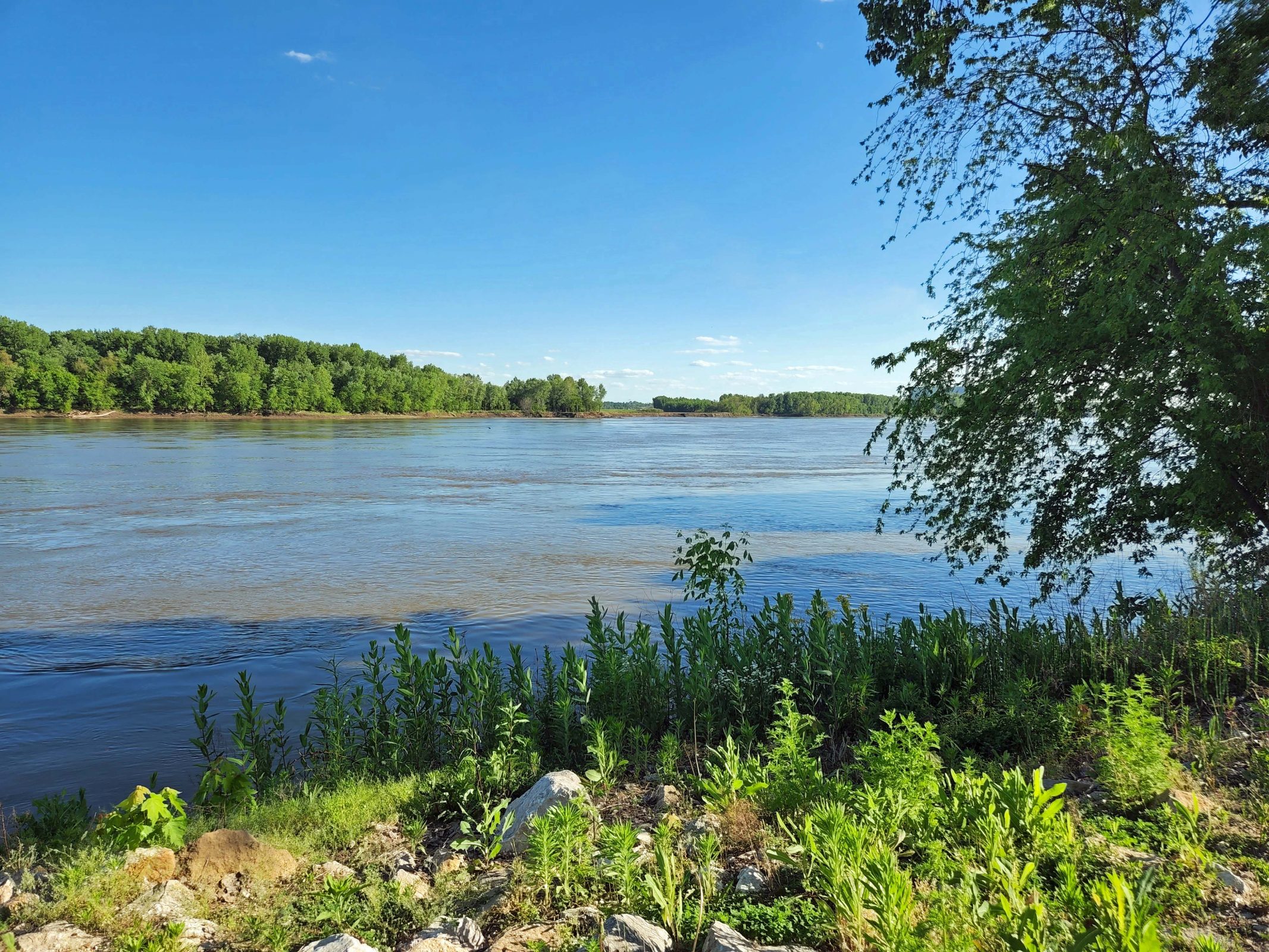
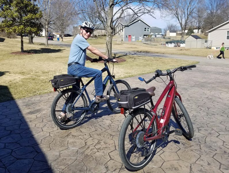
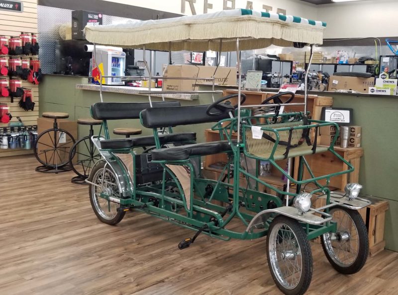
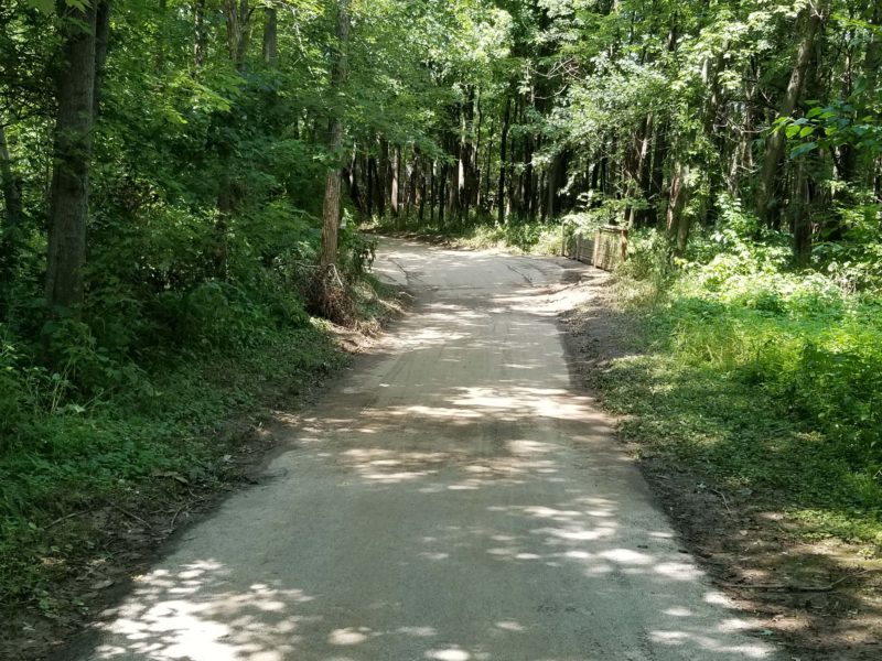
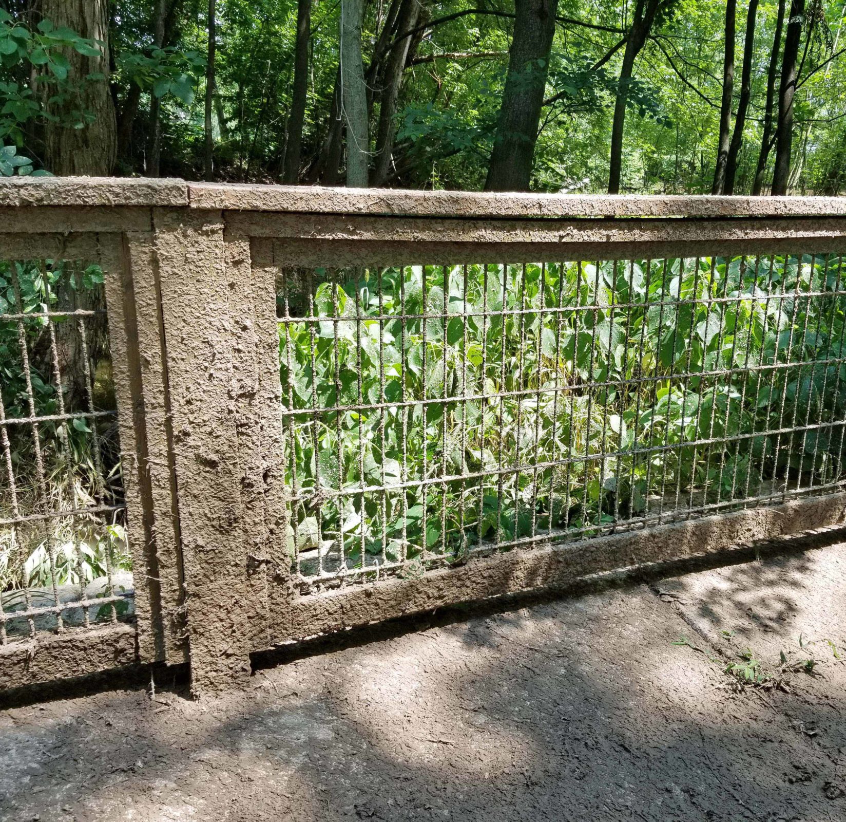
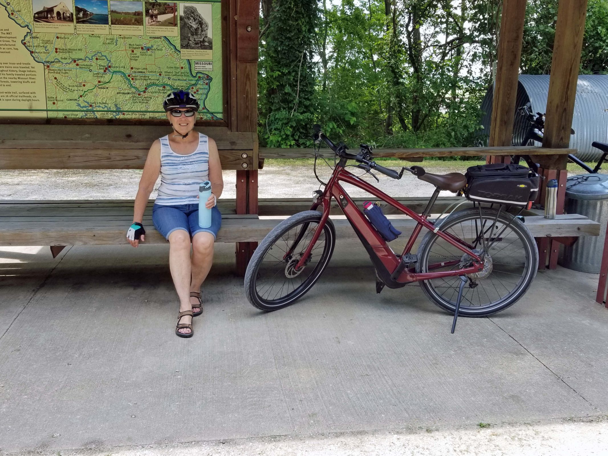
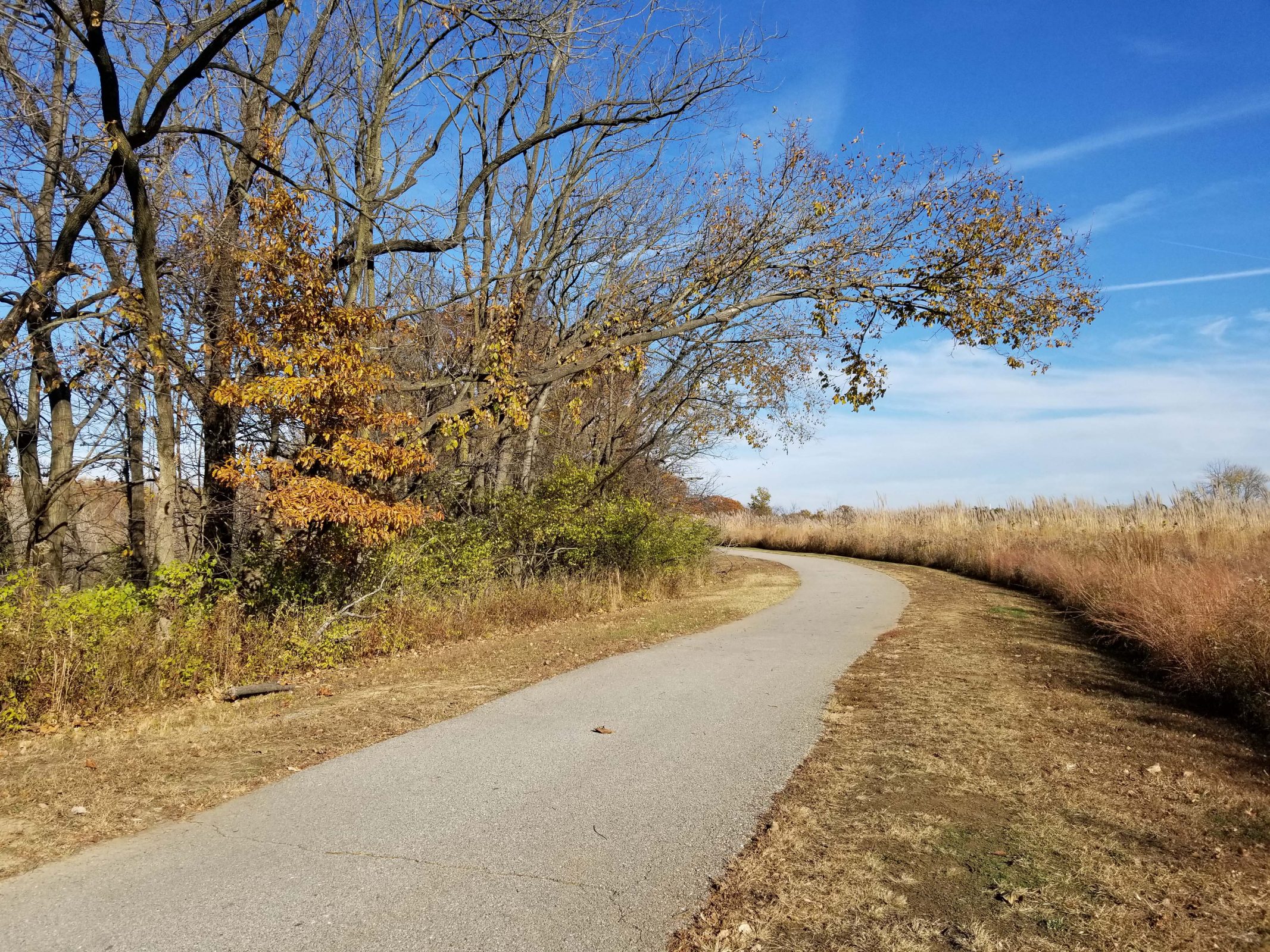
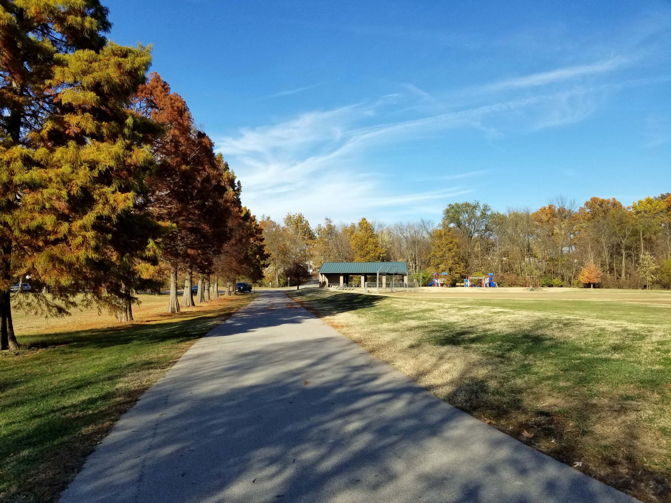
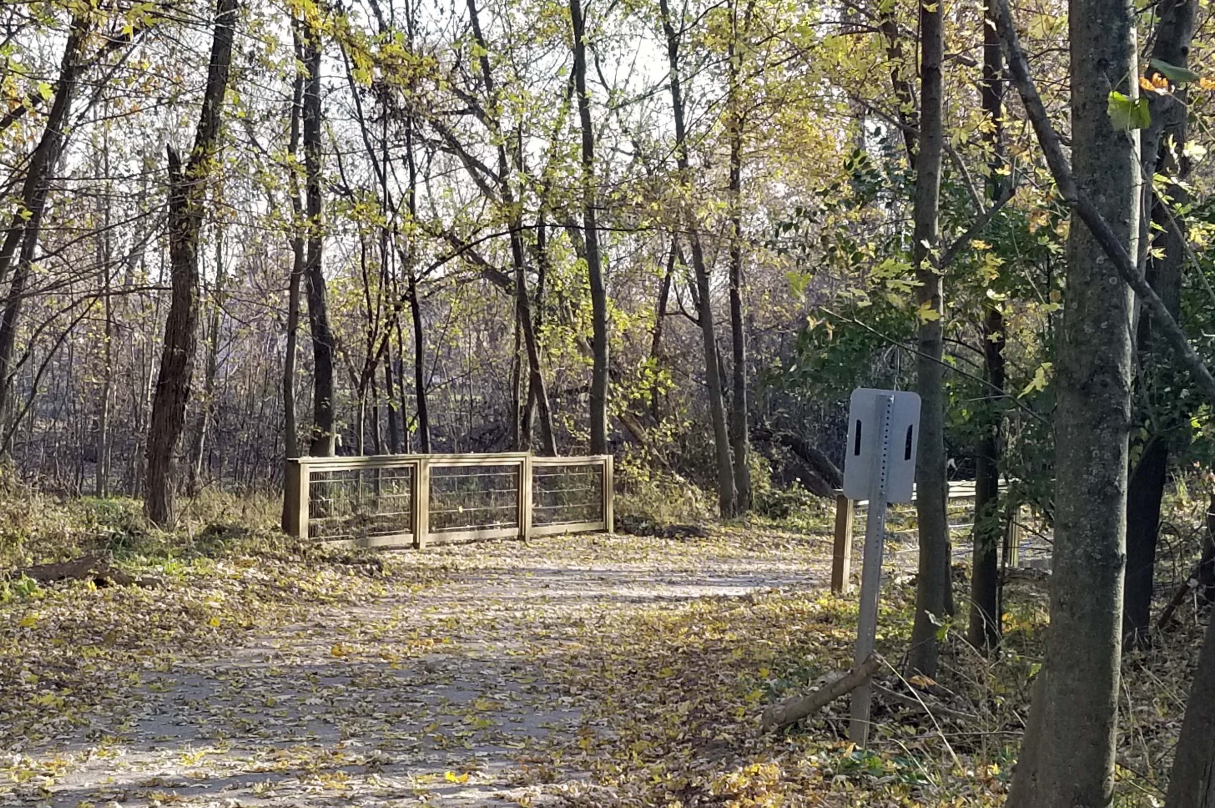
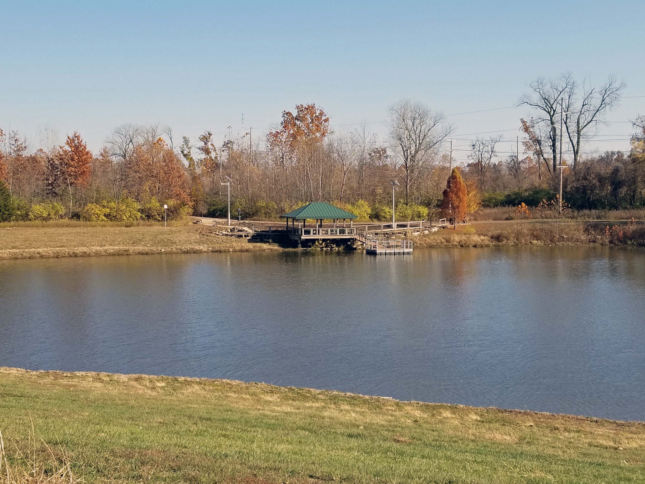
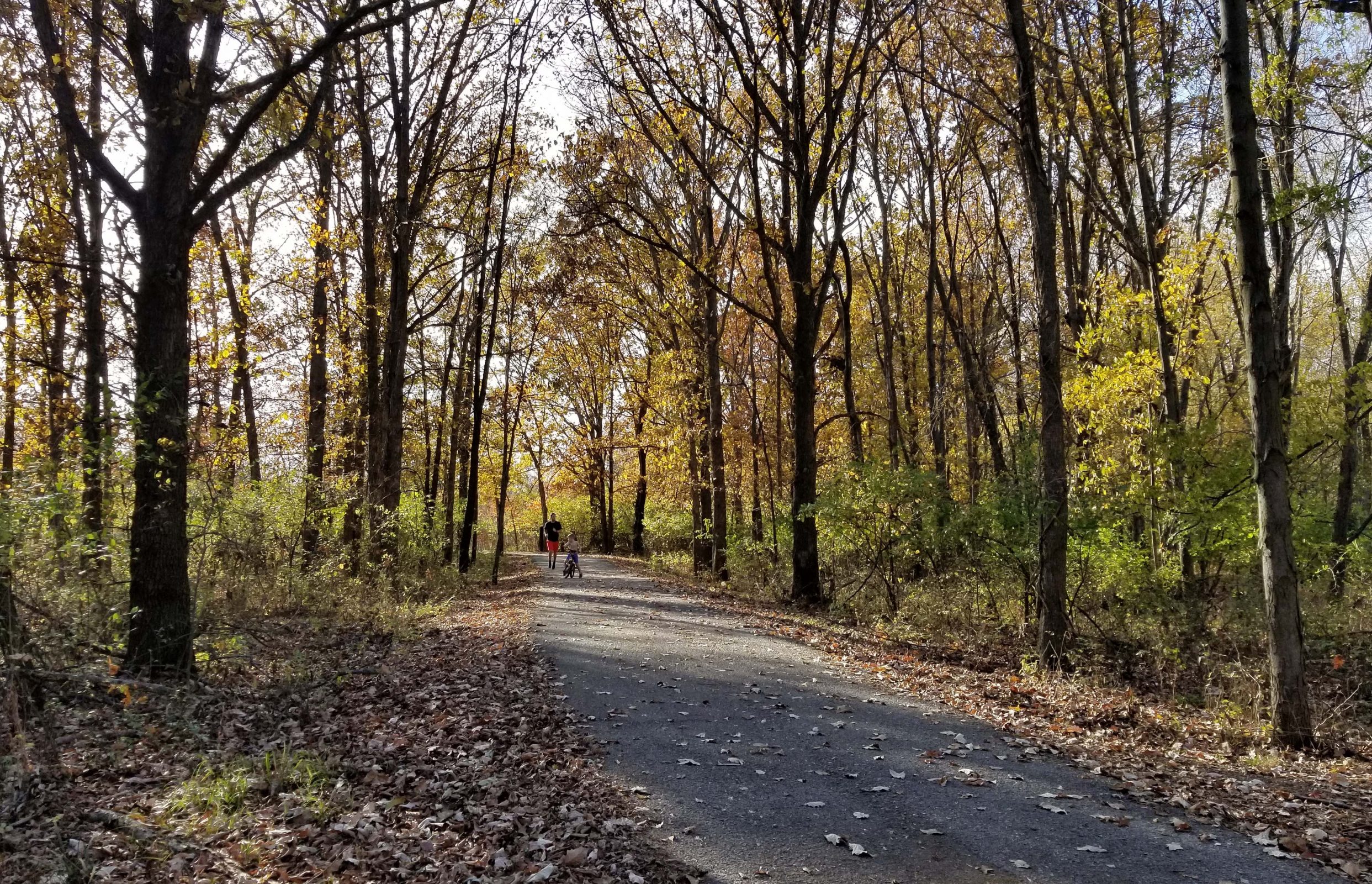
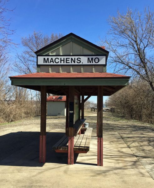
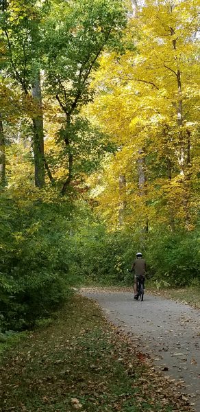
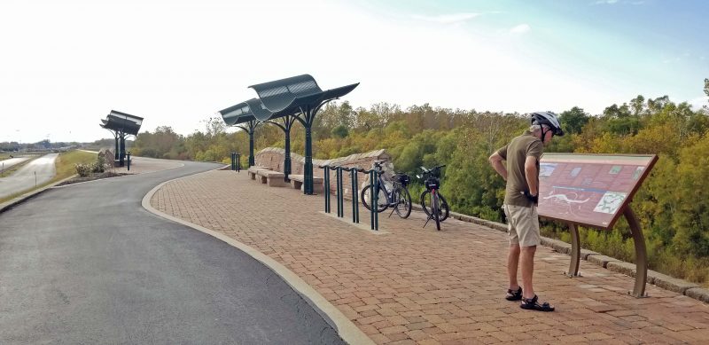
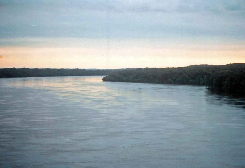
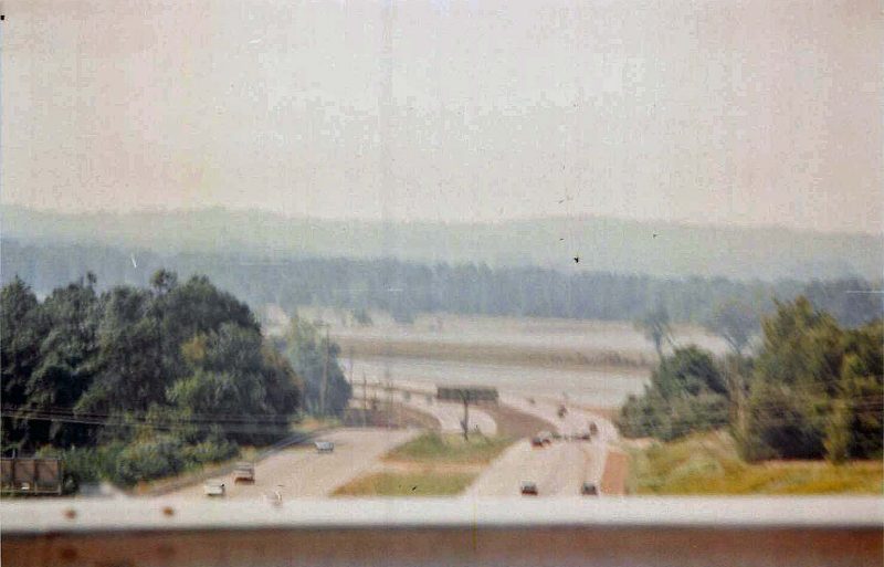
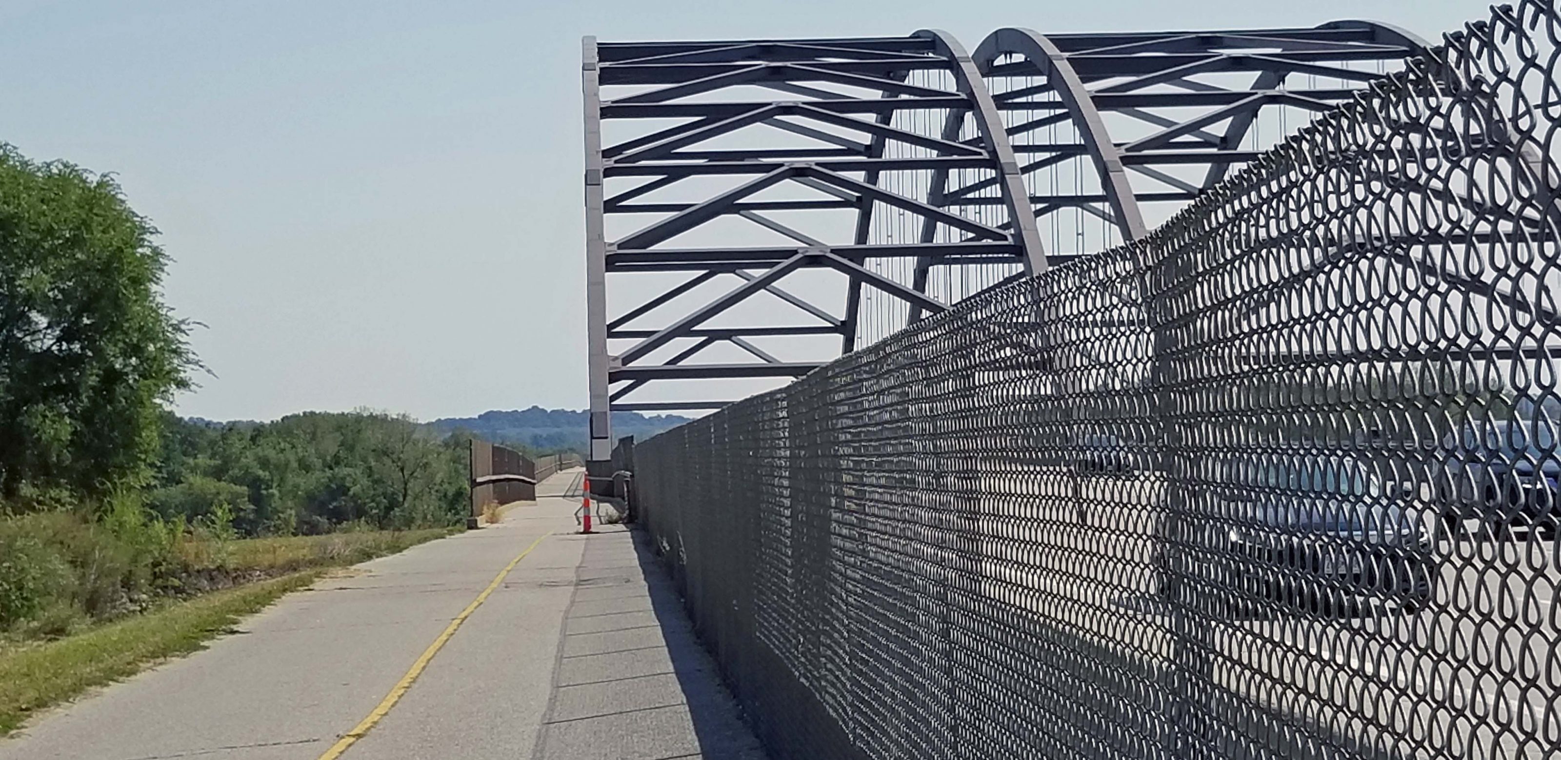
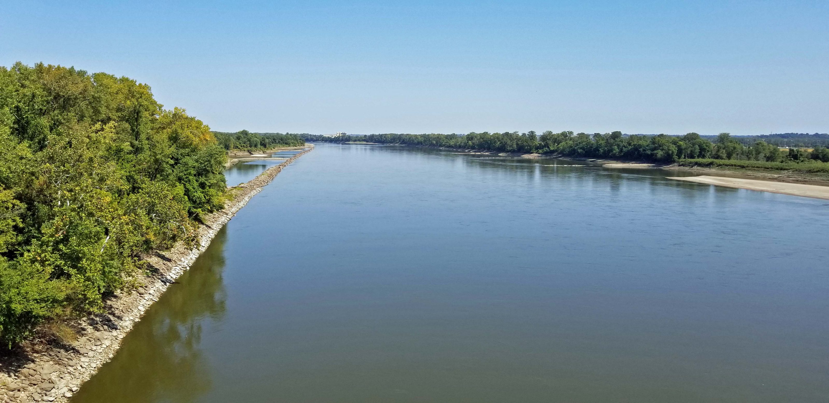
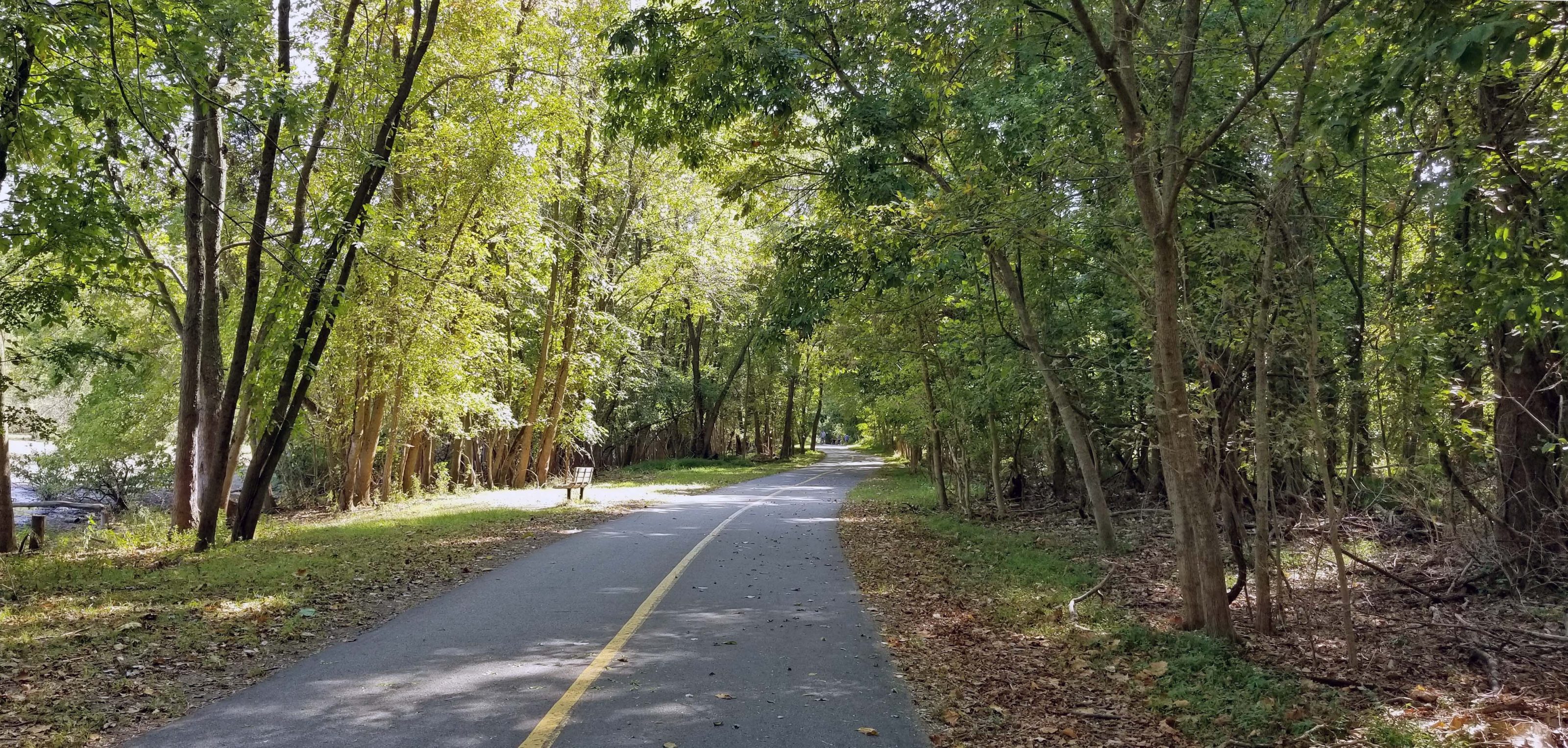
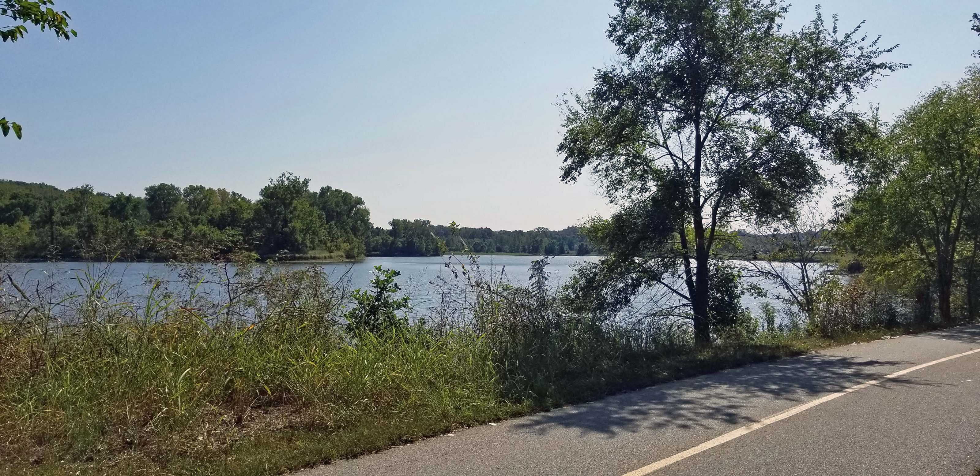
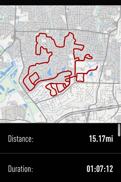
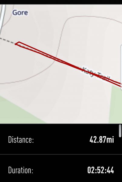
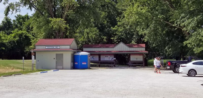
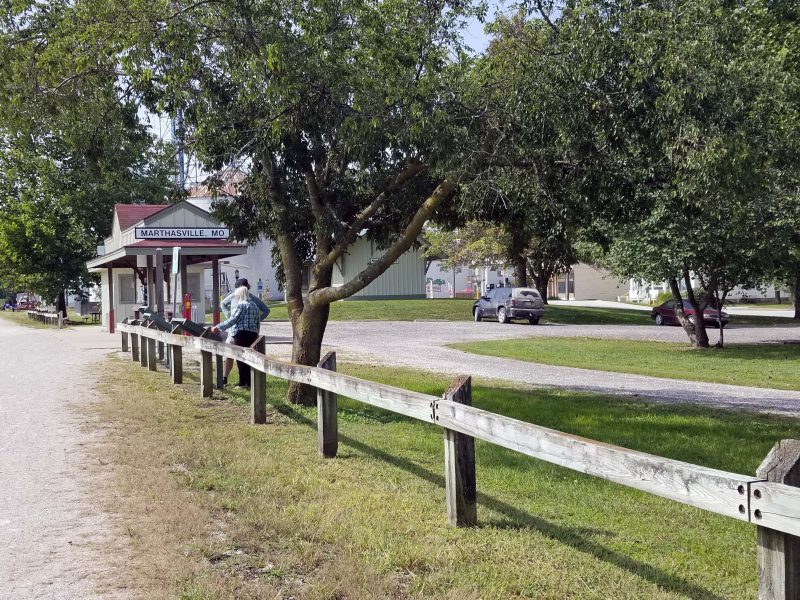
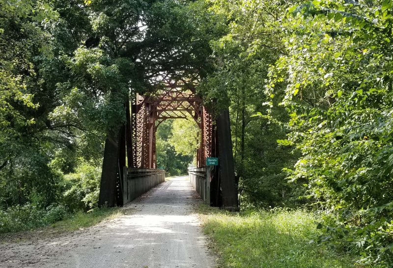
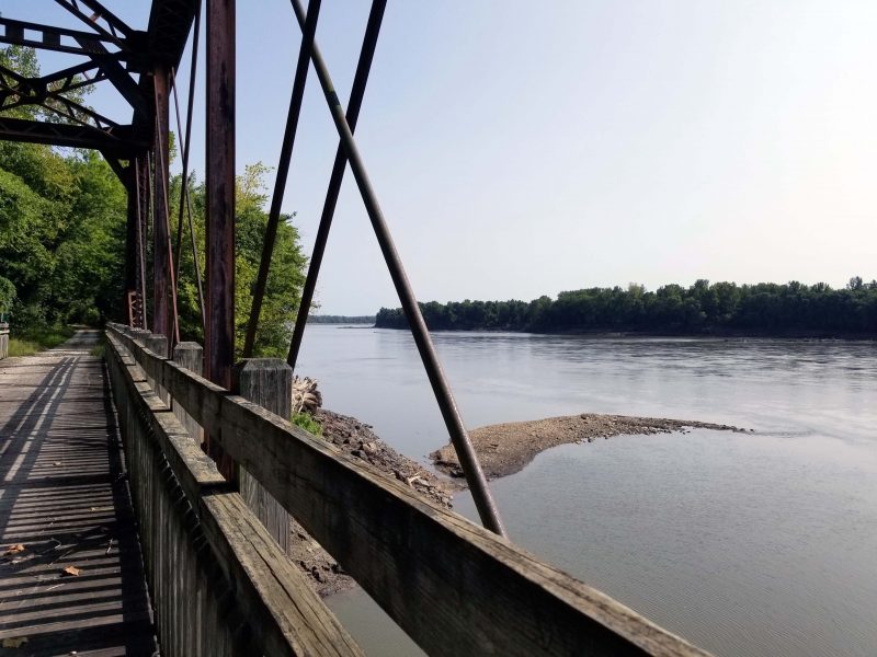
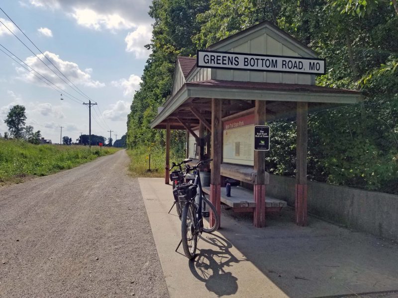
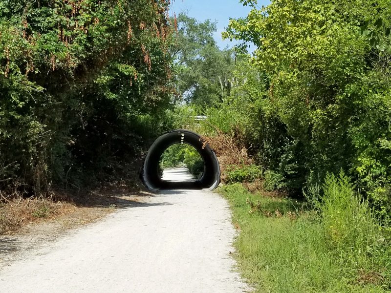
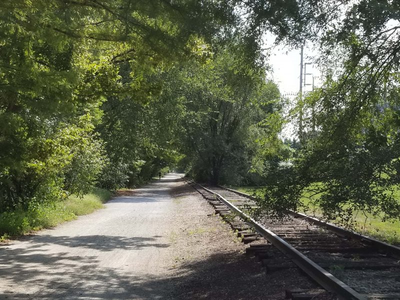
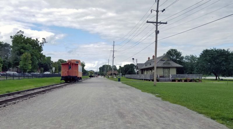
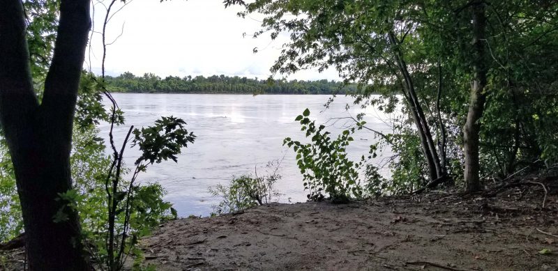
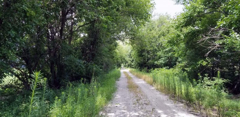
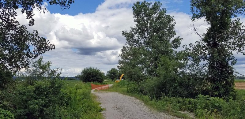
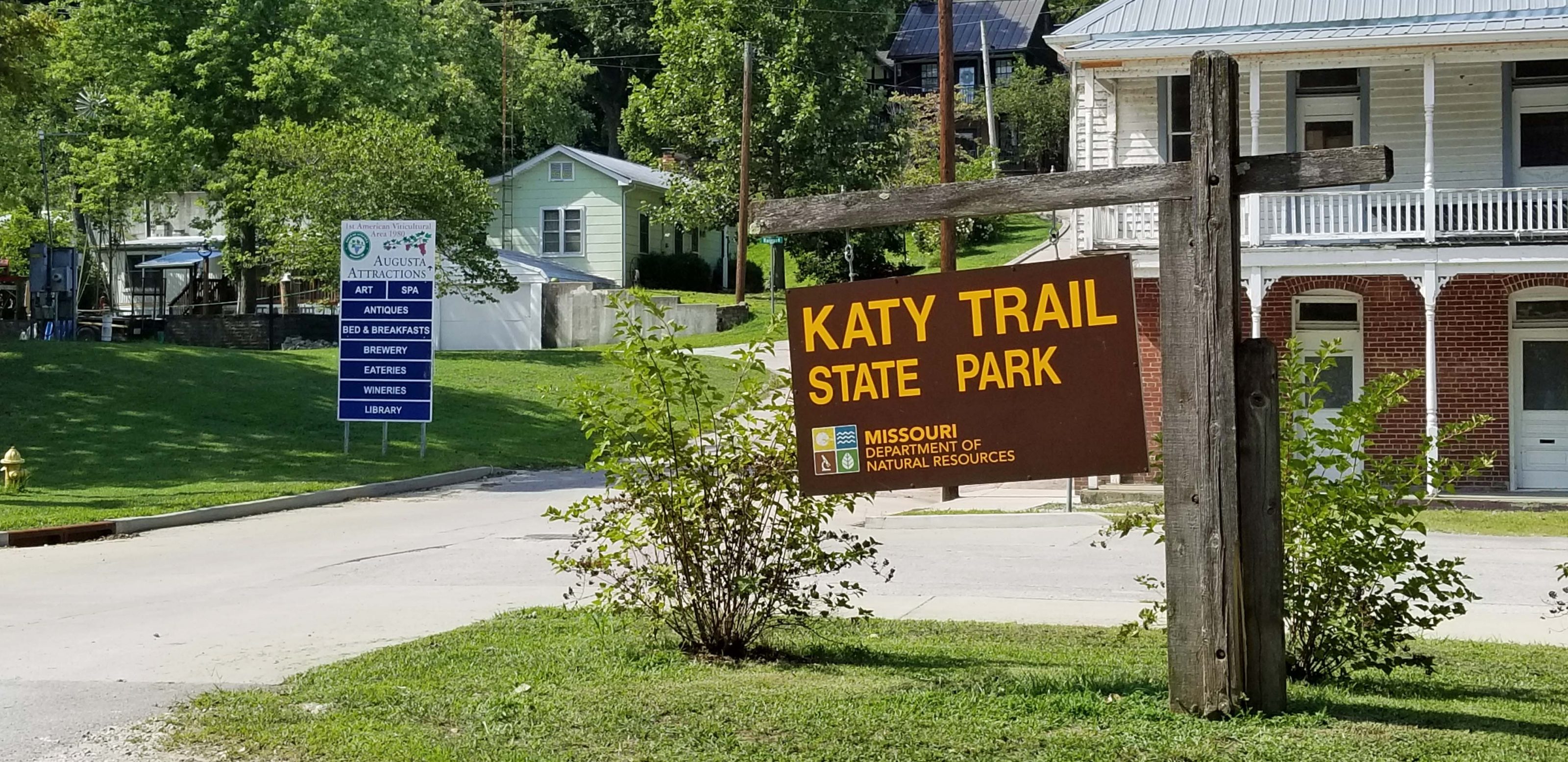
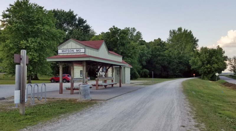
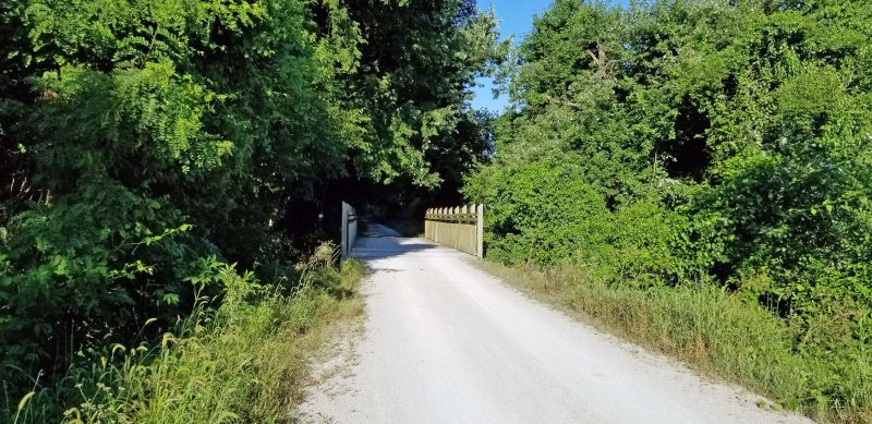
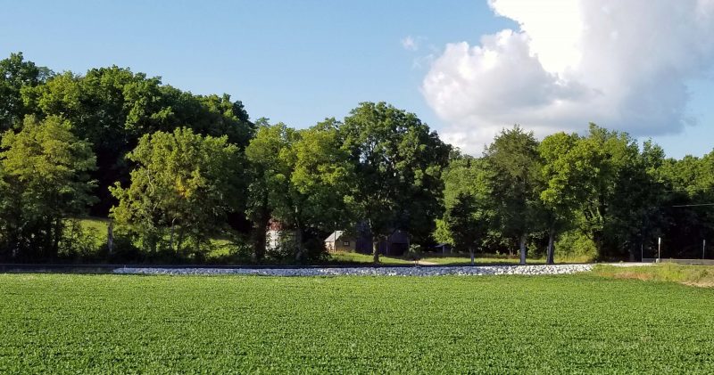
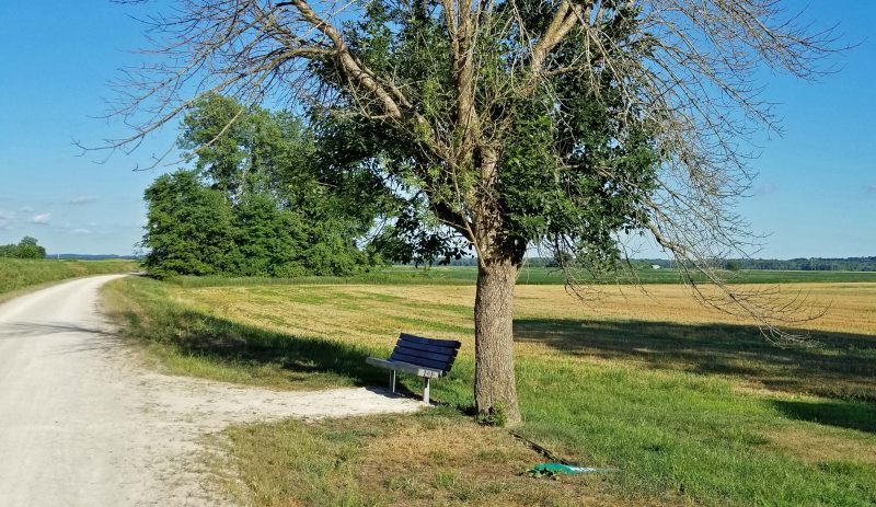
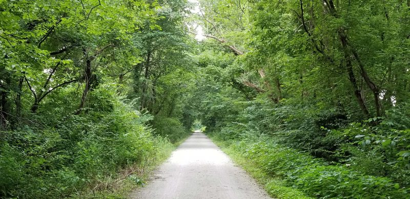
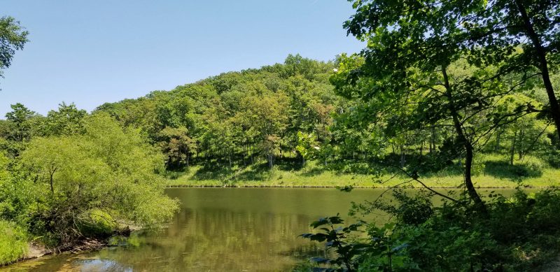
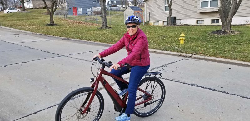
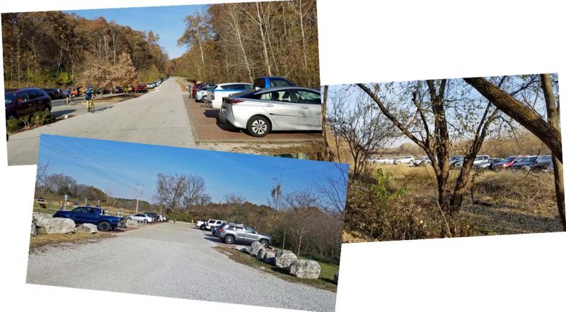
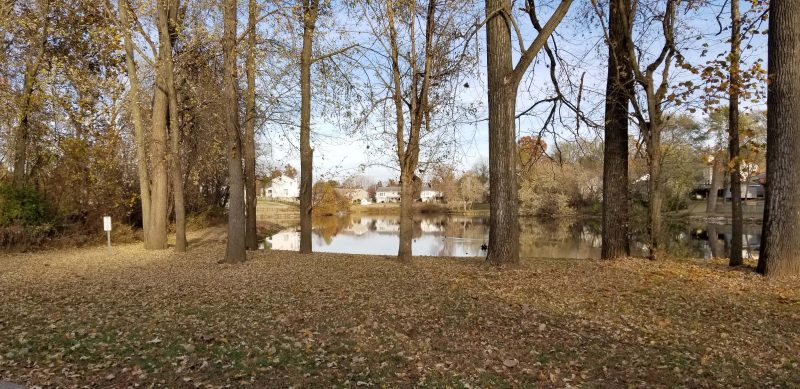
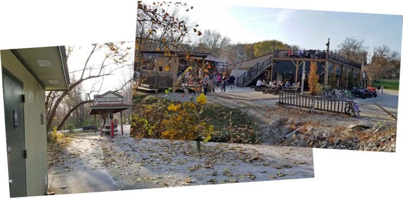
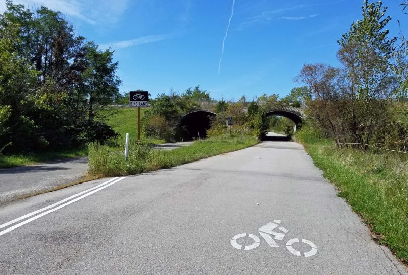
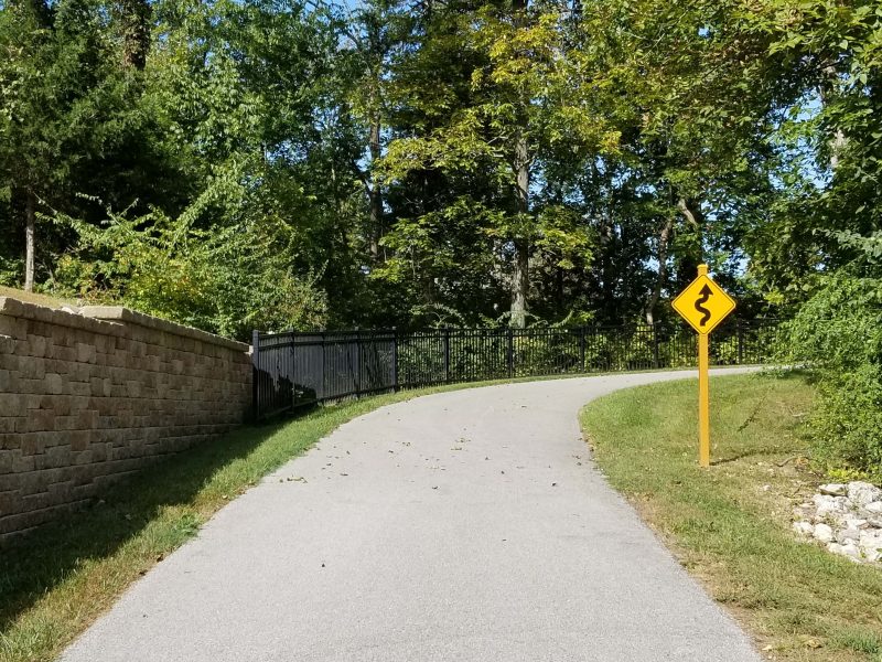
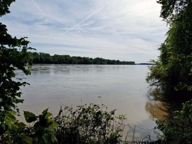
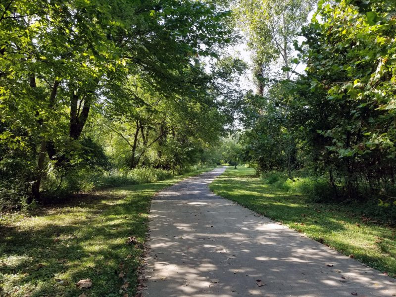
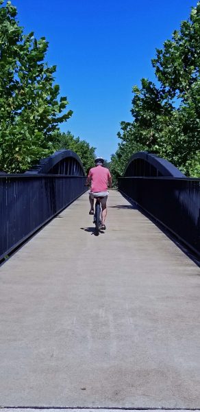
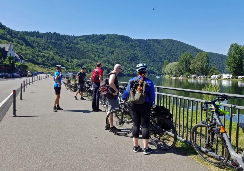
A few days after the last rainfall, Ted and I decided the Katy Trail was probably dry enough to bike. We headed for the Greens Bottom trail head and planned to bike westward to Weldon Spring–about 11 miles one way. We hadn’t thought about the fact that the rail trail on which the Katy is built runs along the Missouri River (low ground) and that it might have flooded, so we were surprised when we entered the trail and saw a sign announcing it was closed for flood damage repair.

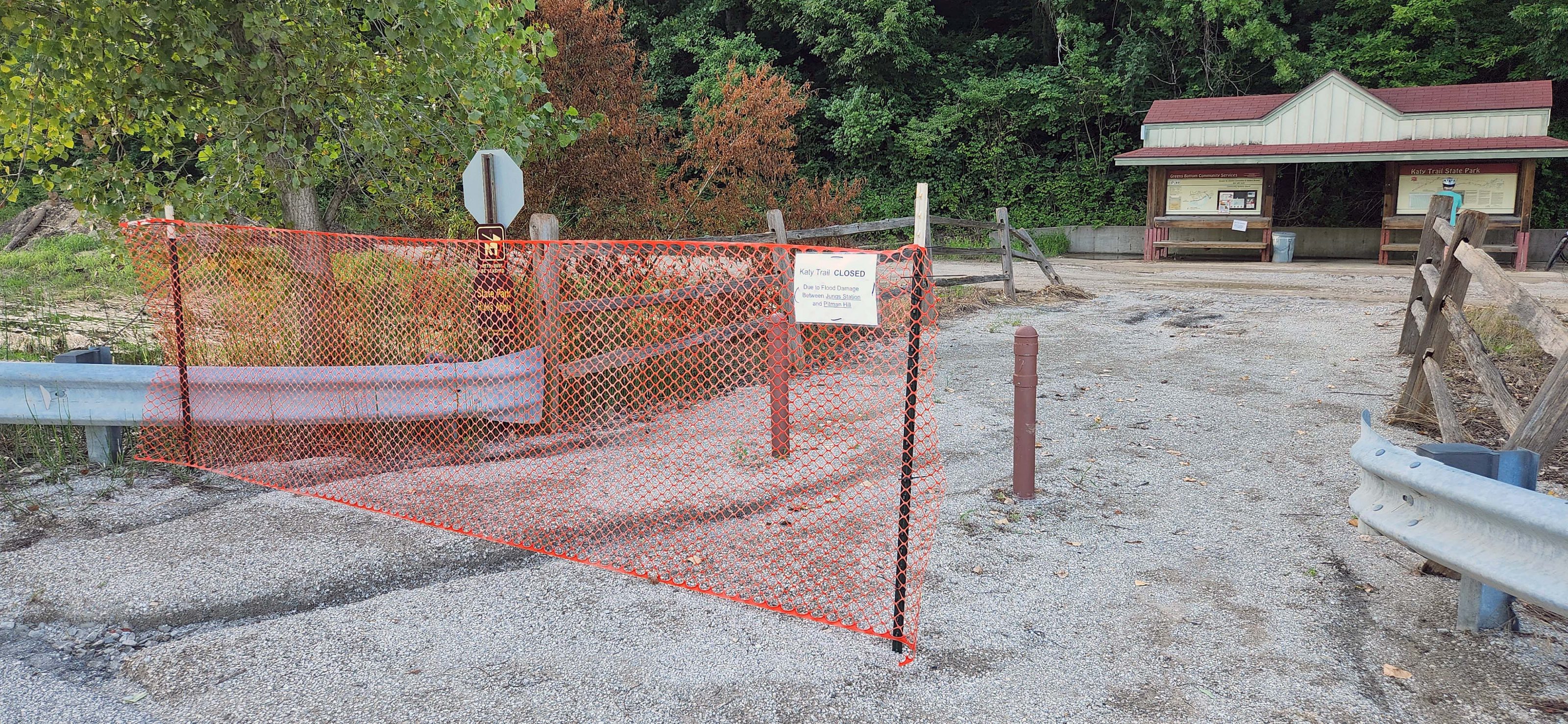
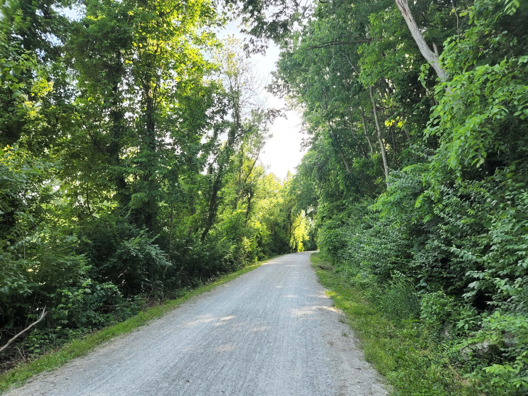
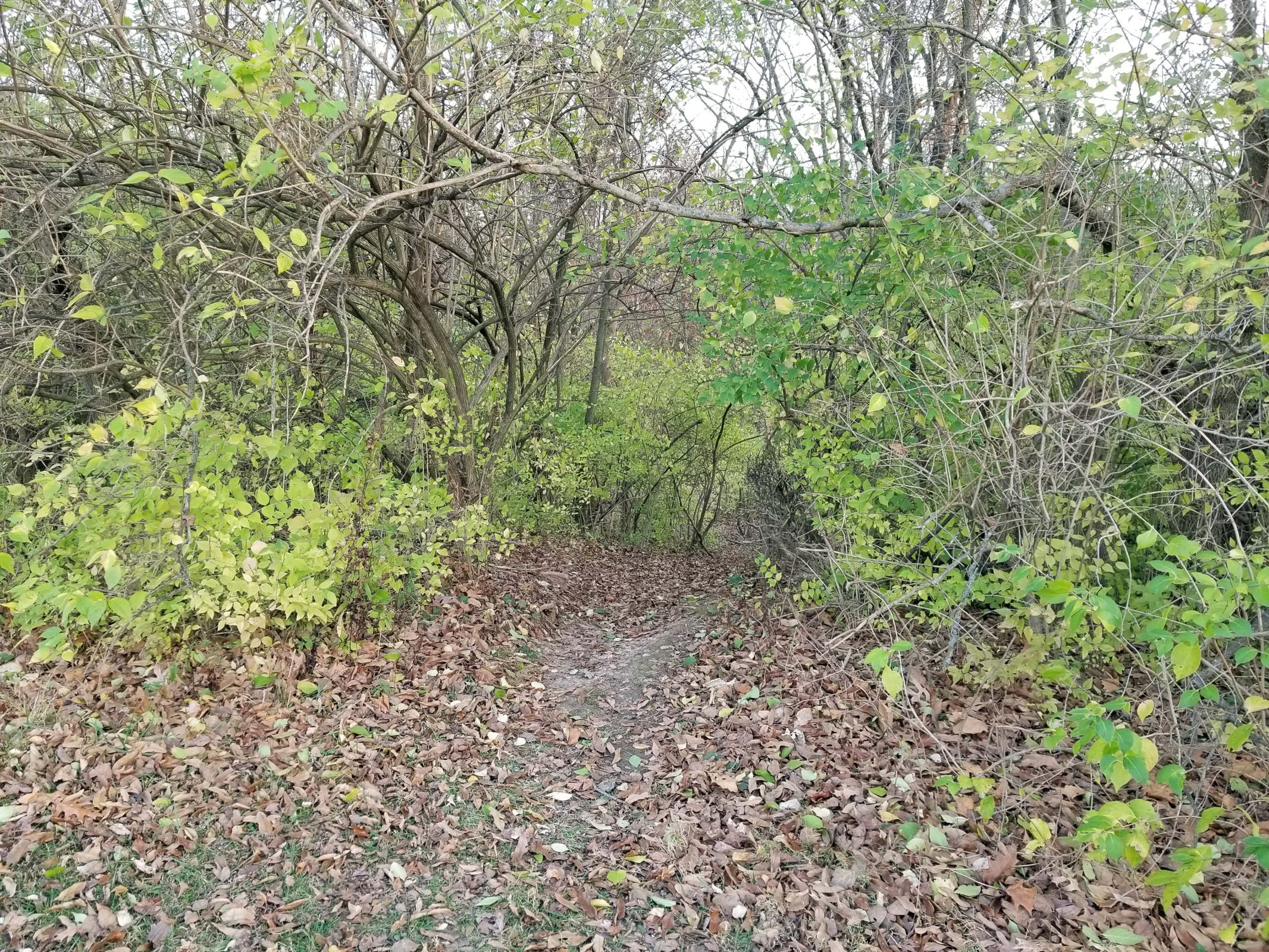
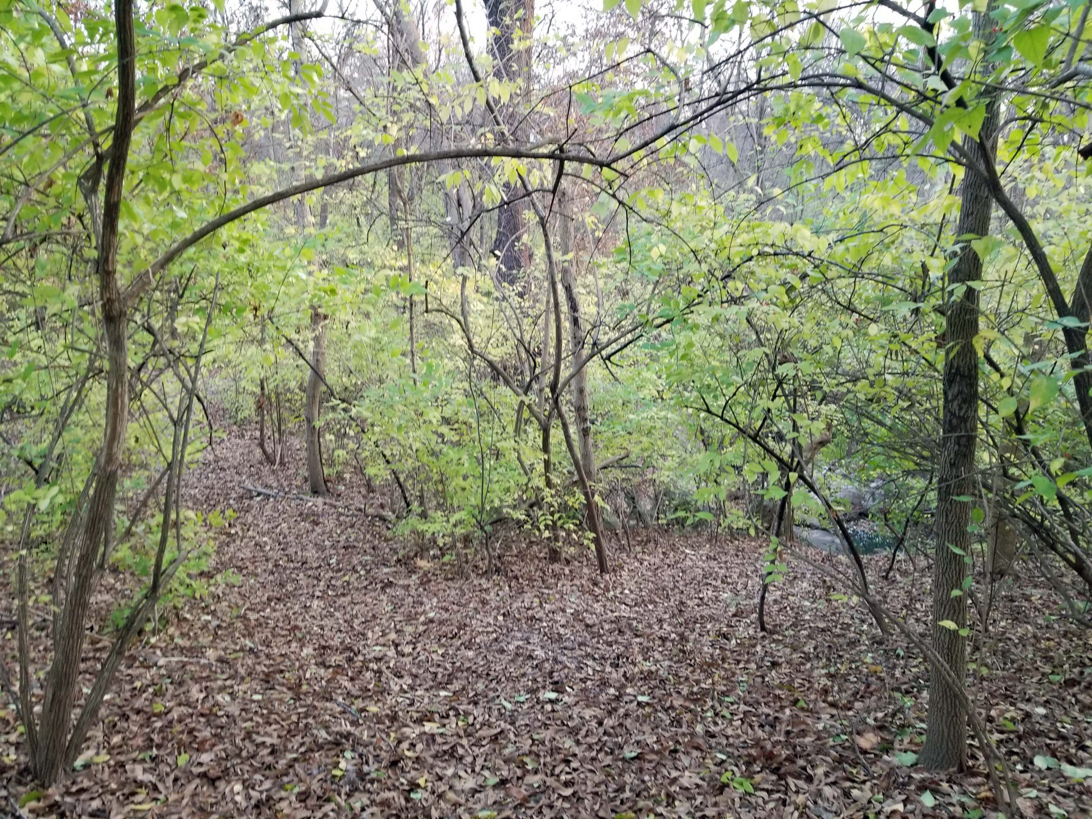
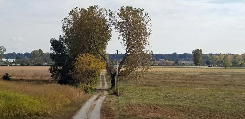
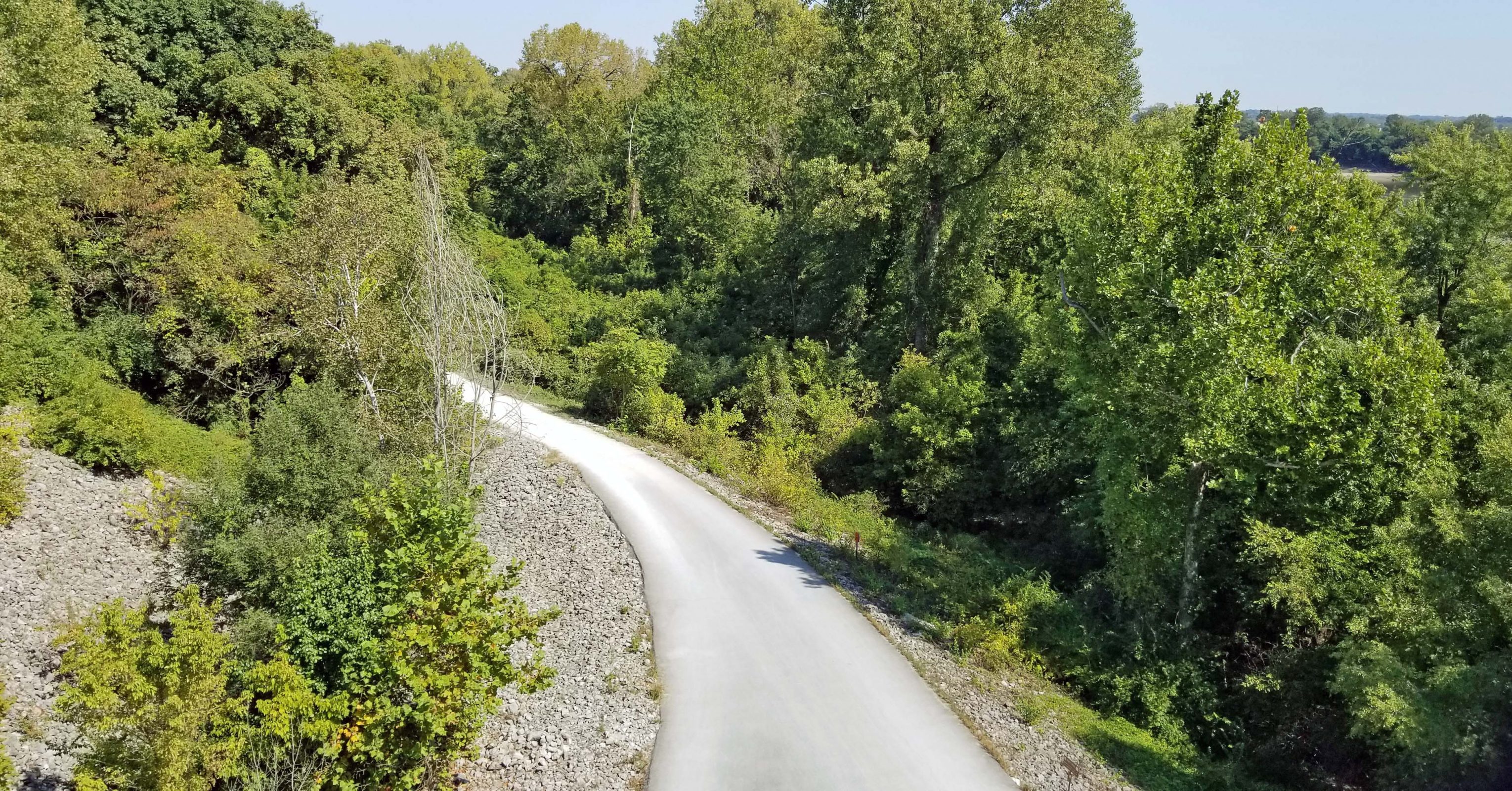
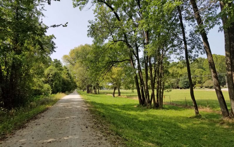
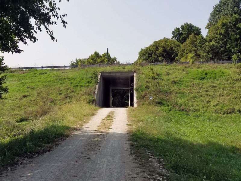
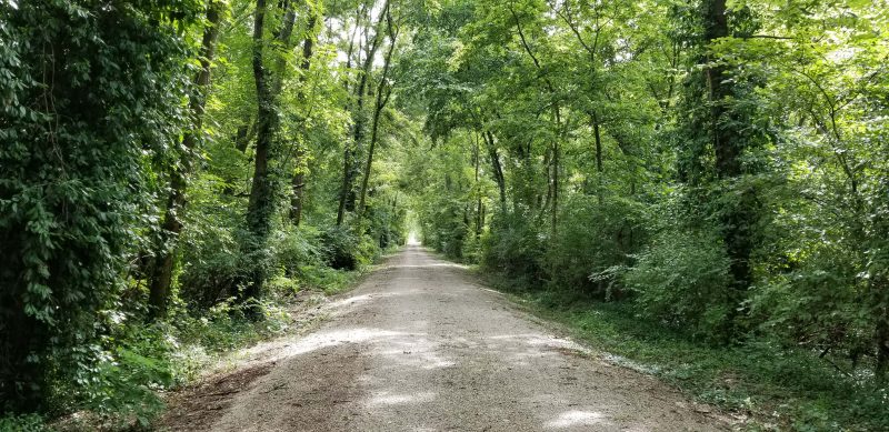
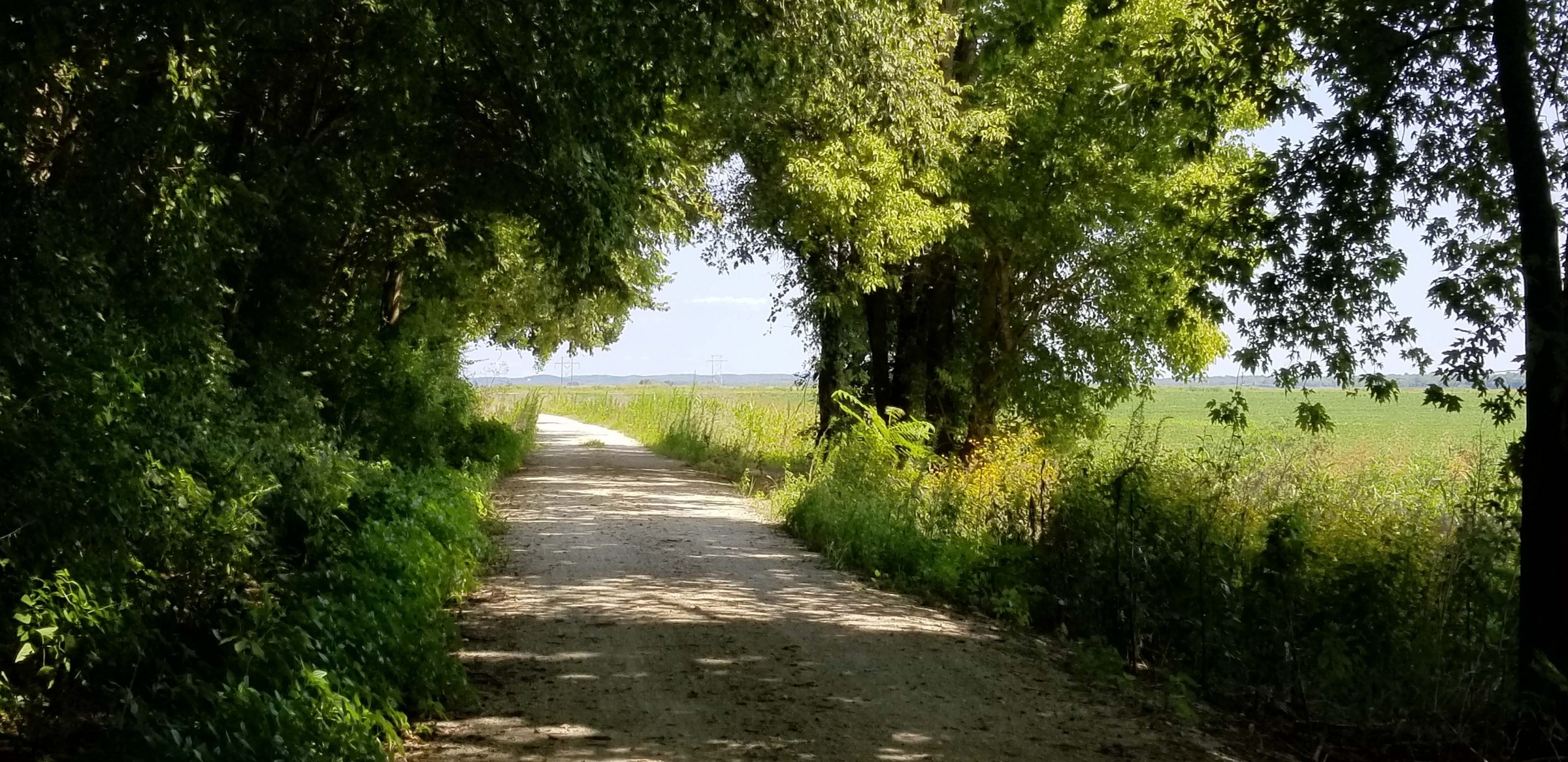
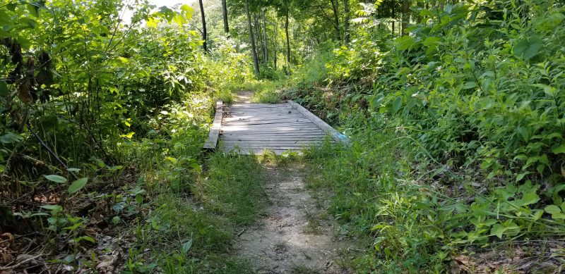
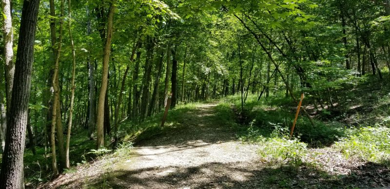
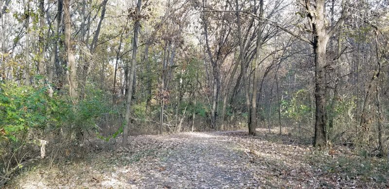
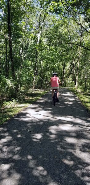
The trail looked ok and there was plenty of room to bike past the warning fence, so we decided to try it. If it was washed out or blocked, we could always turn around. The first 2 miles were rough, but the trail rises gently in elevation from its eastern to its western terminus, so all was well after the first two miles.

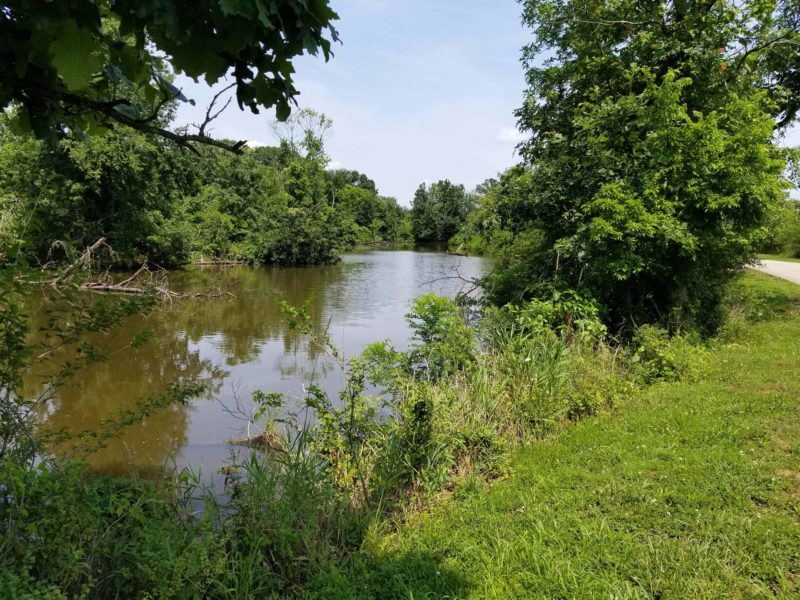
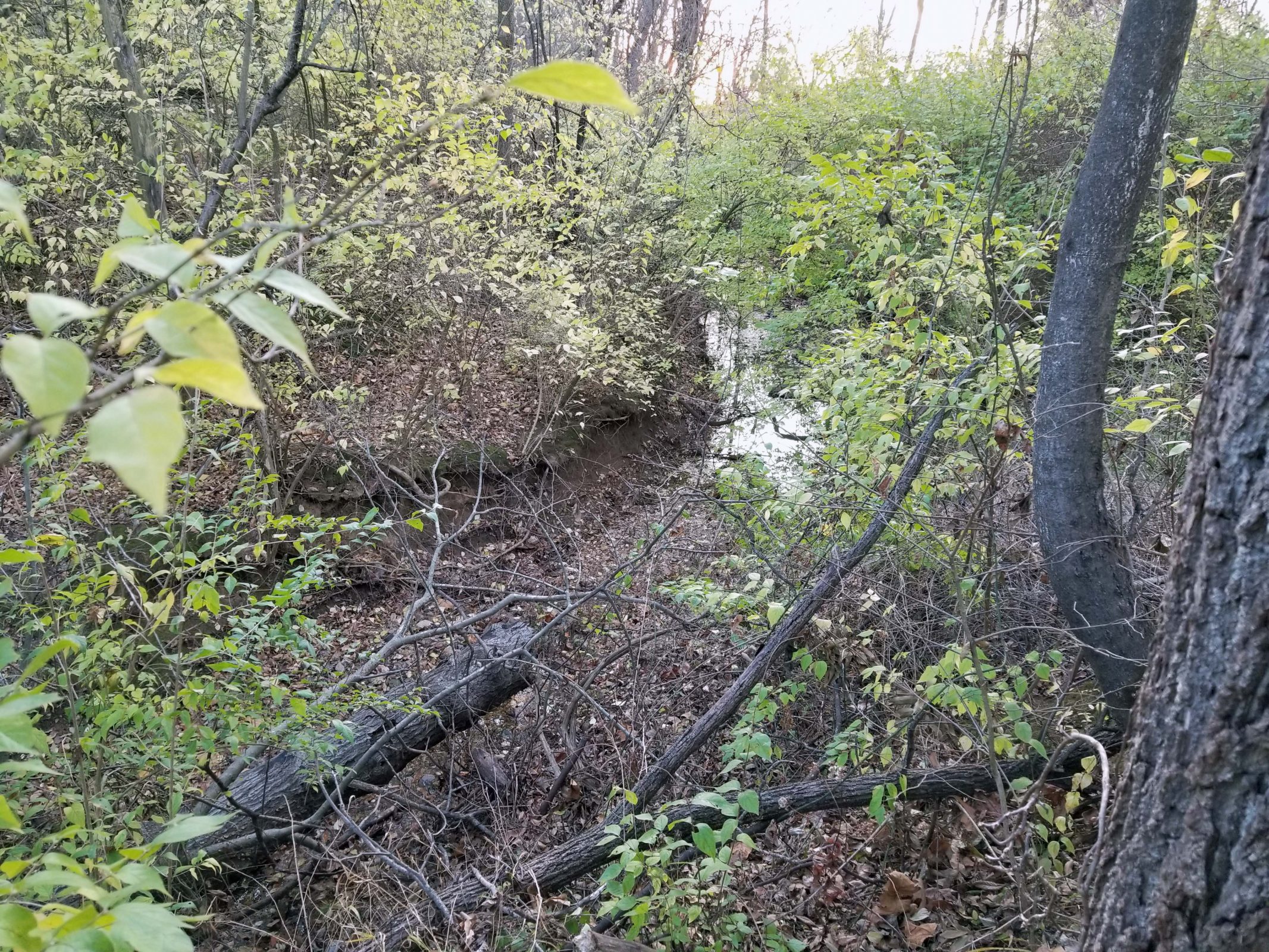
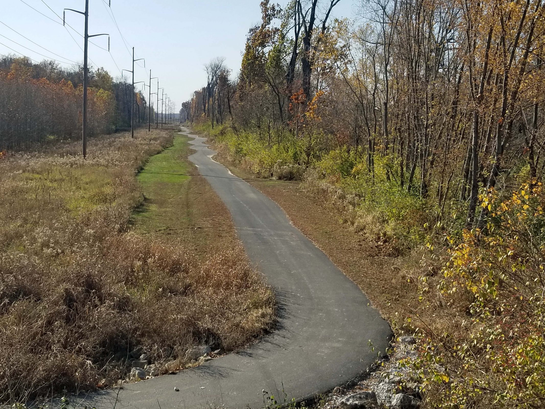
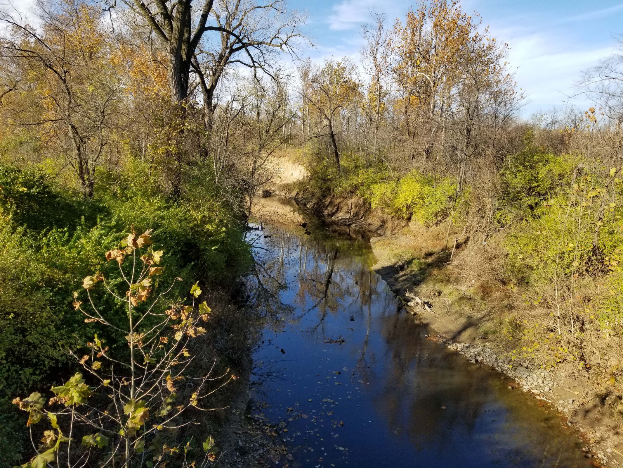
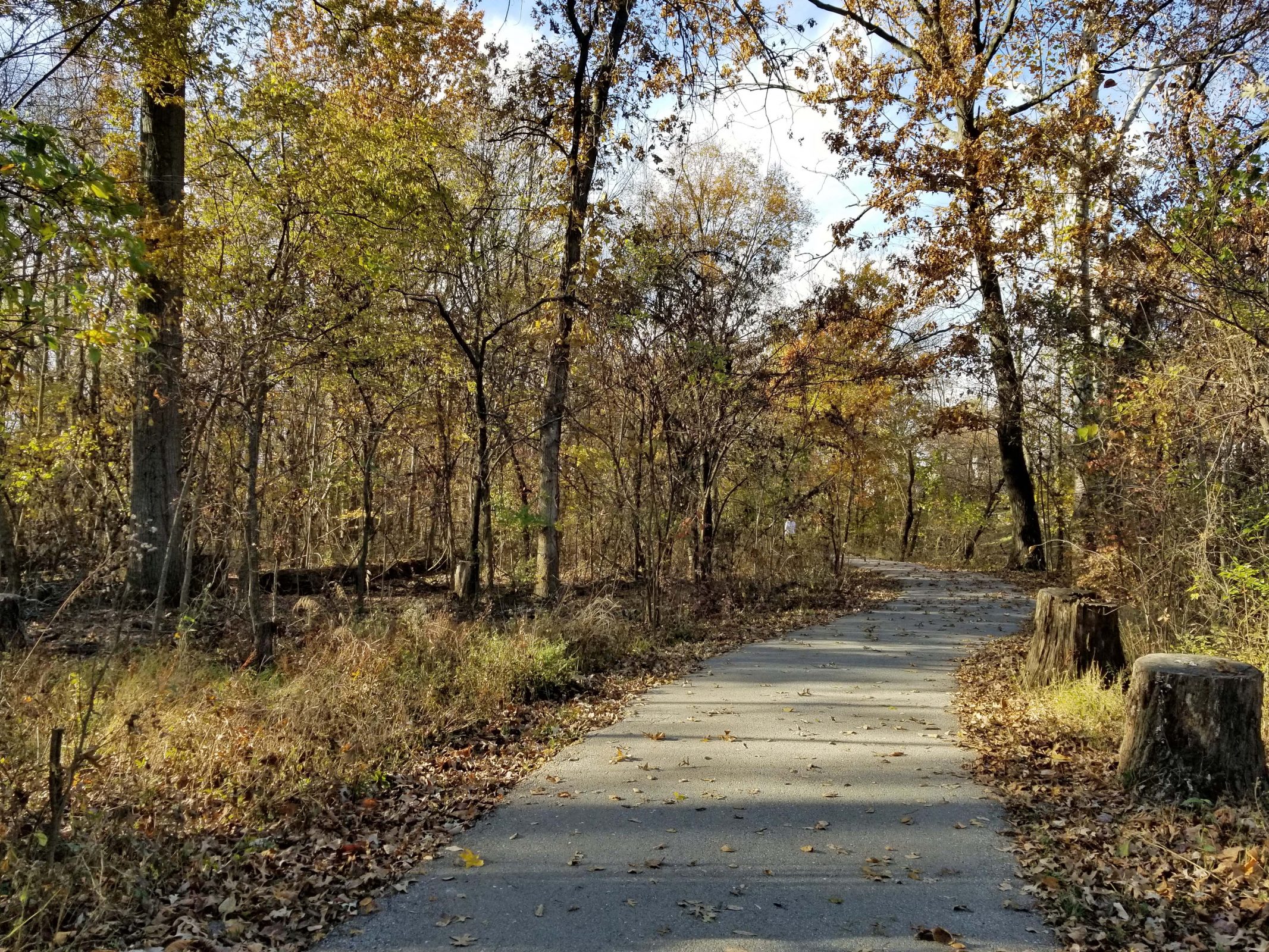
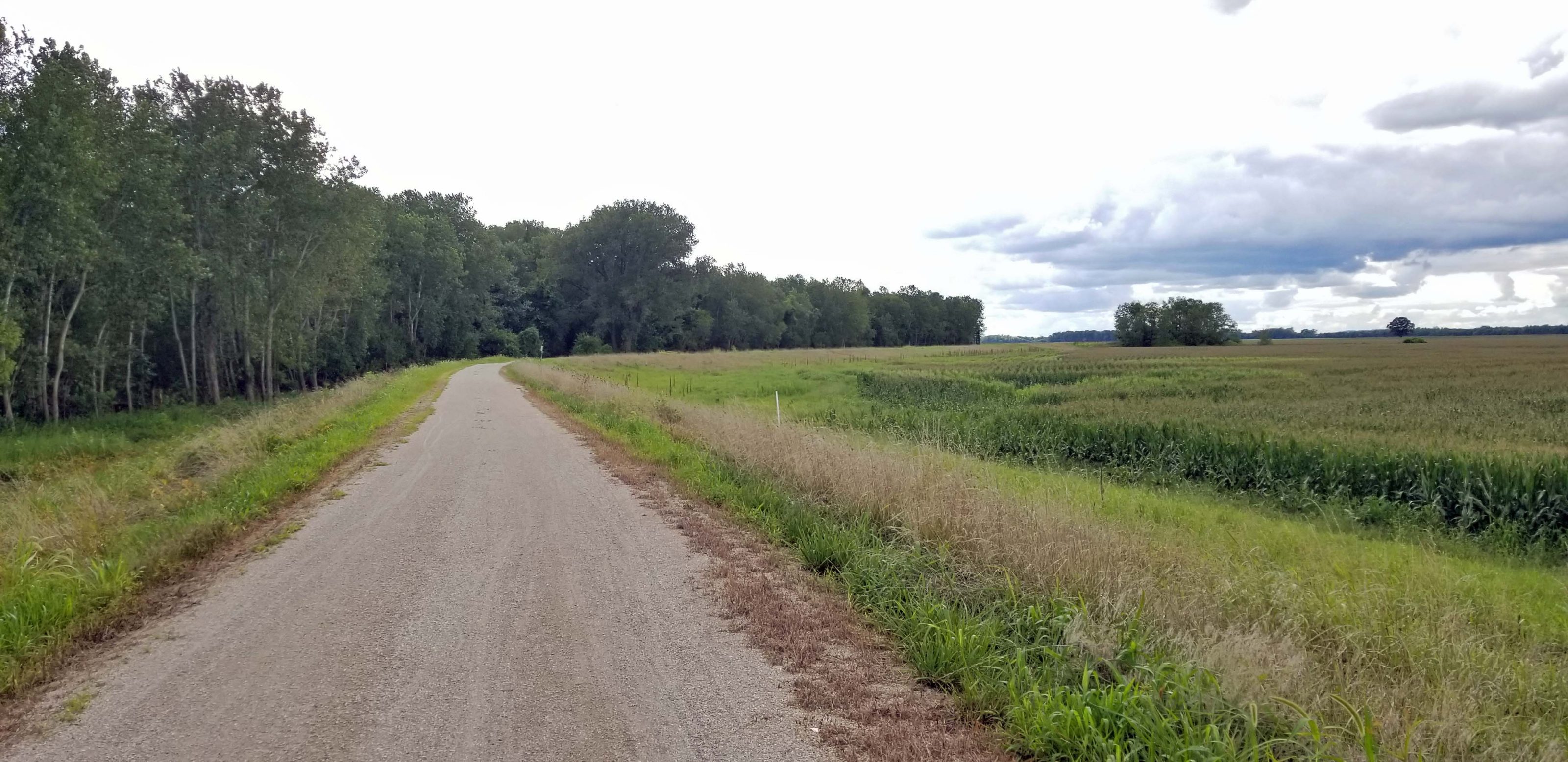
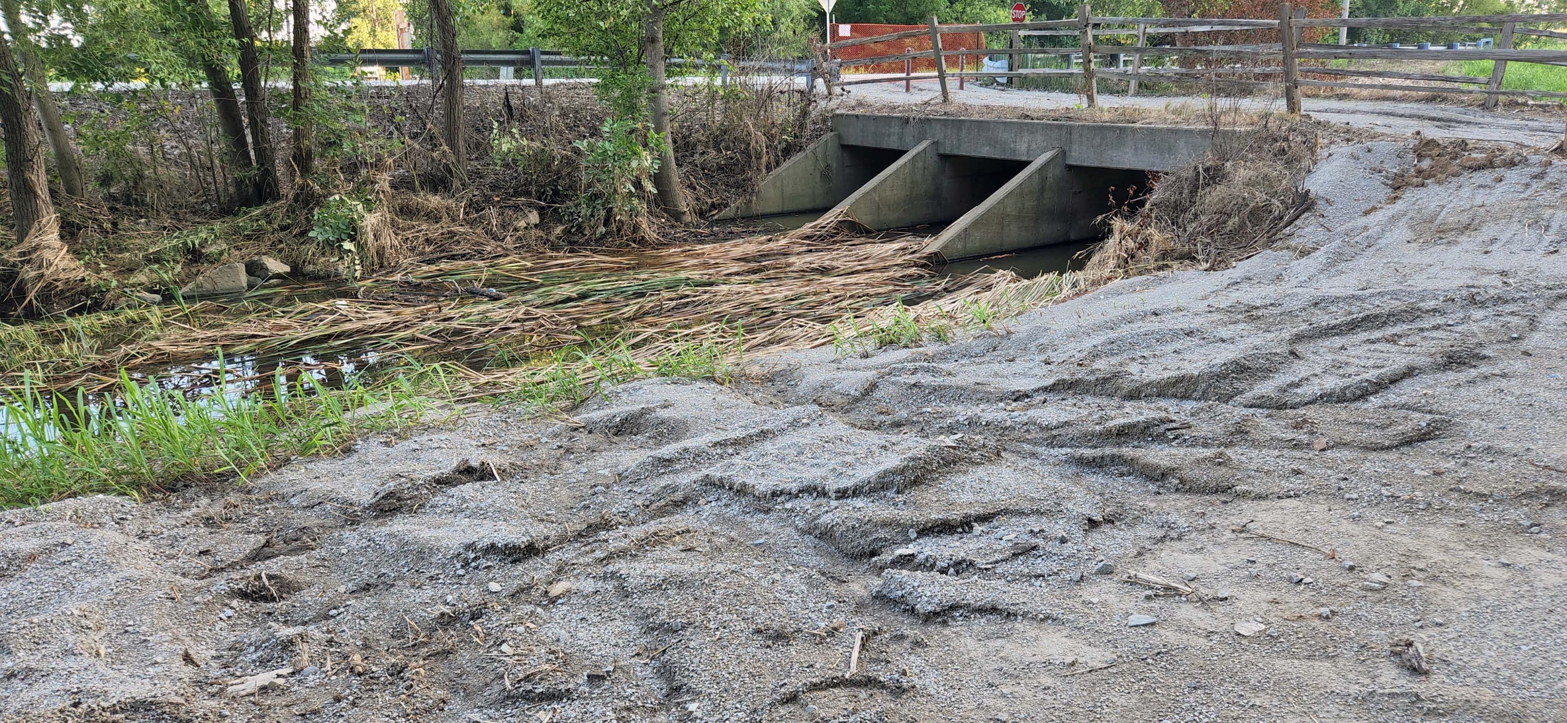
The trail was badly rutted in several places. Obviously, the water was running from the trail into the creek.

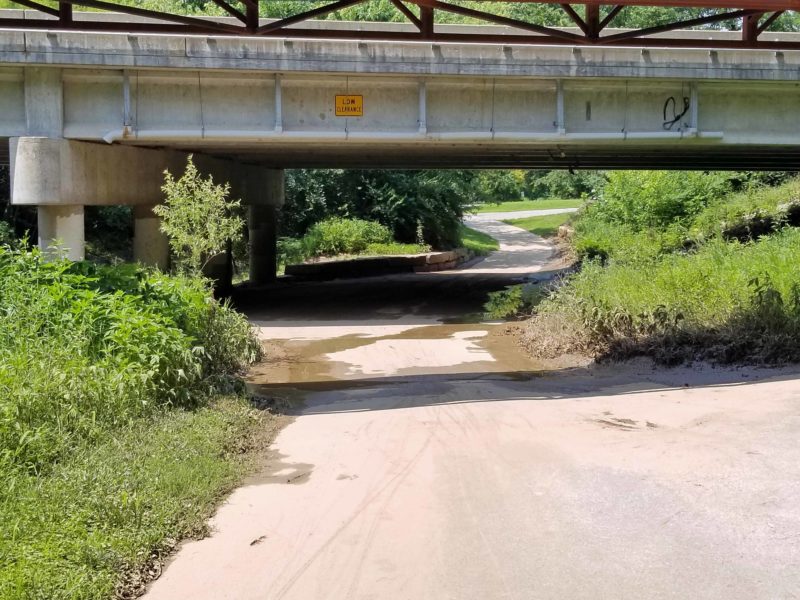
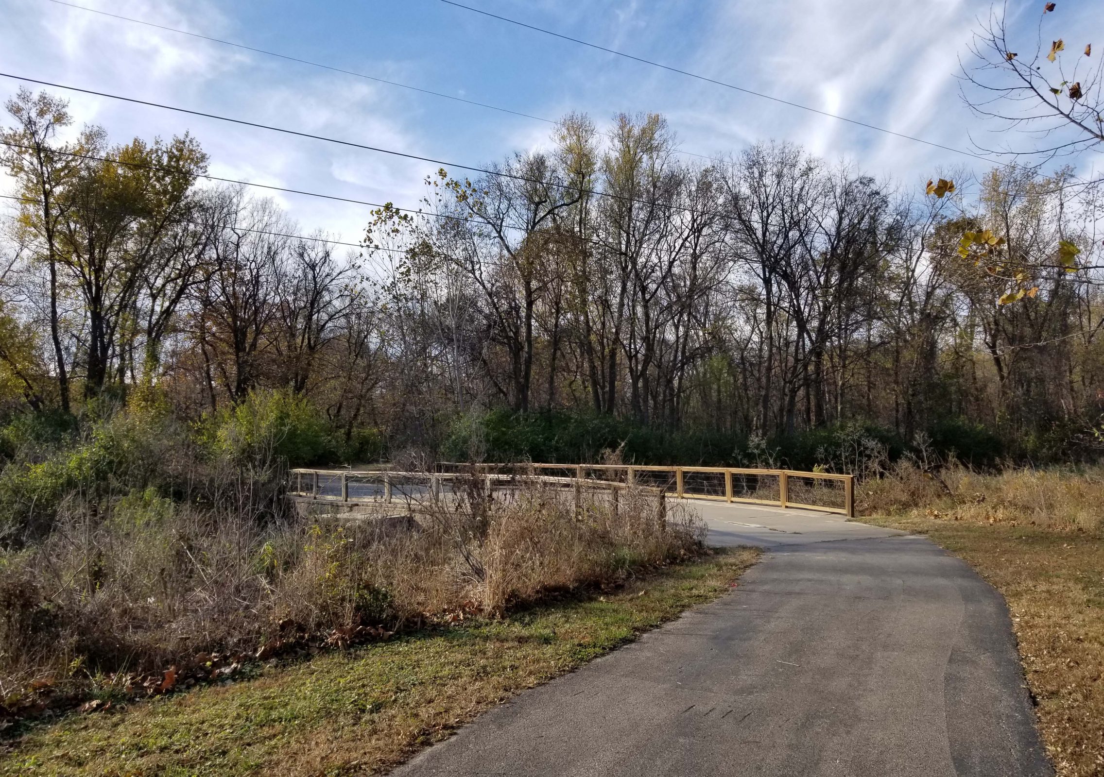
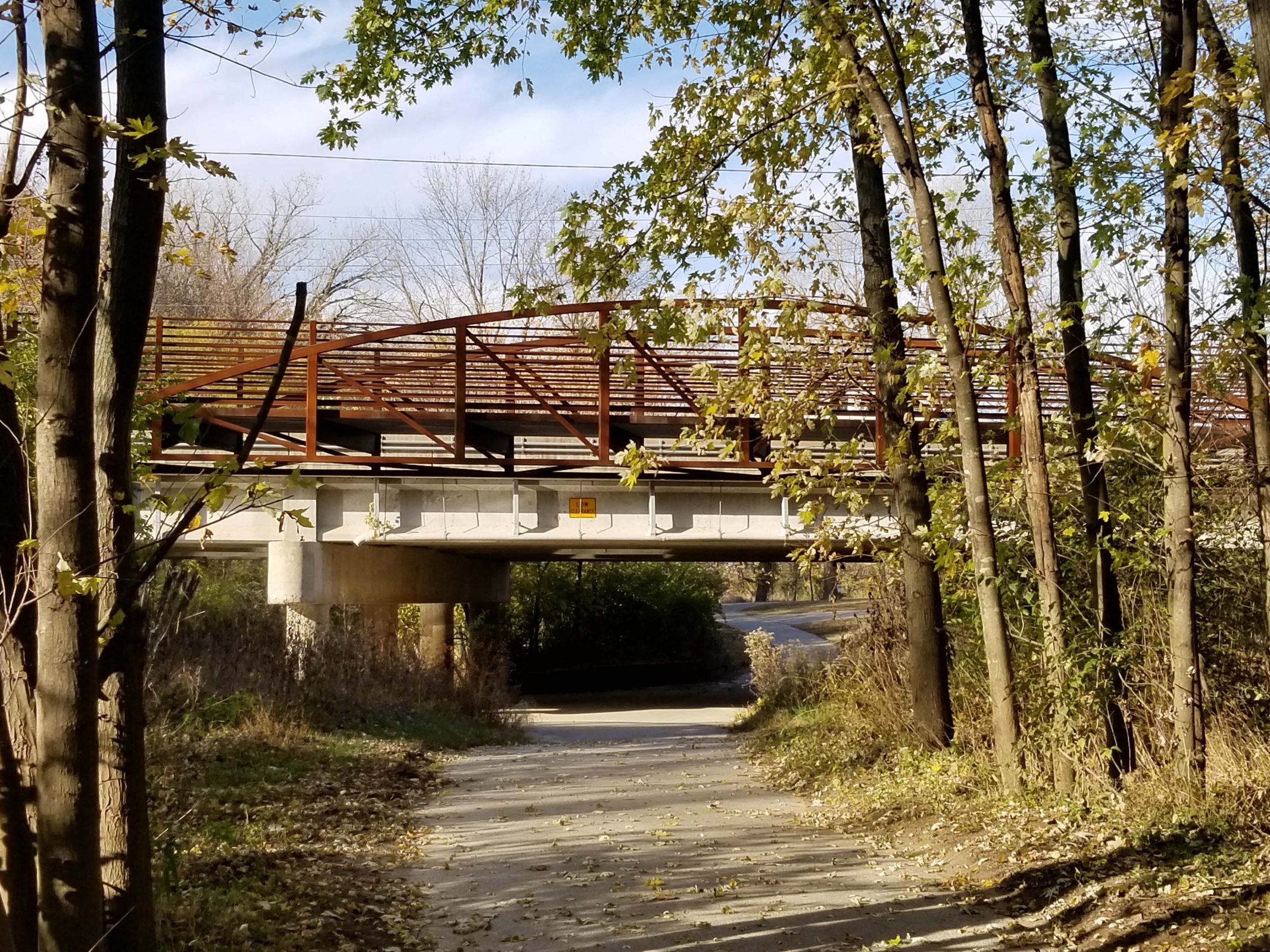
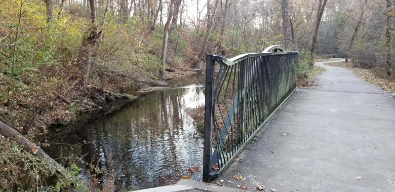
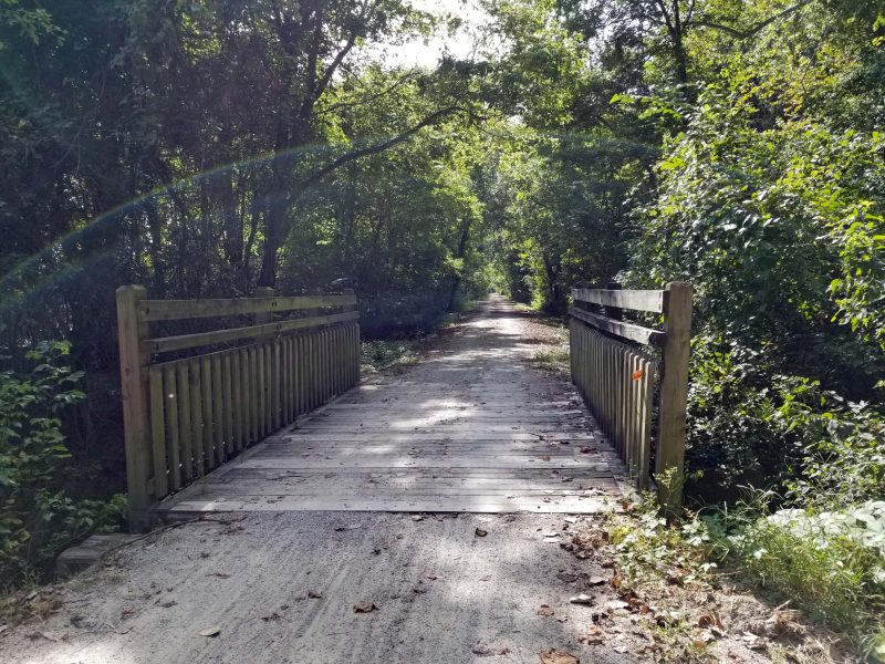
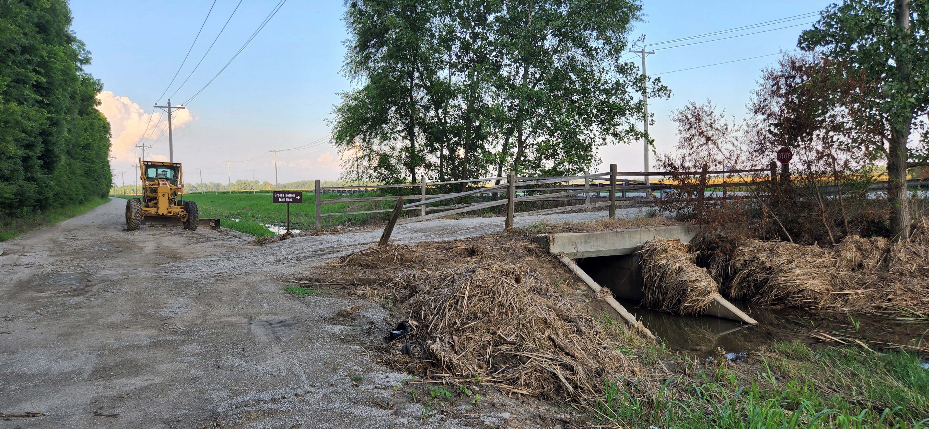
There was a lot of accumulated debris on the upstream side of this bridge. The grader is ready to go.

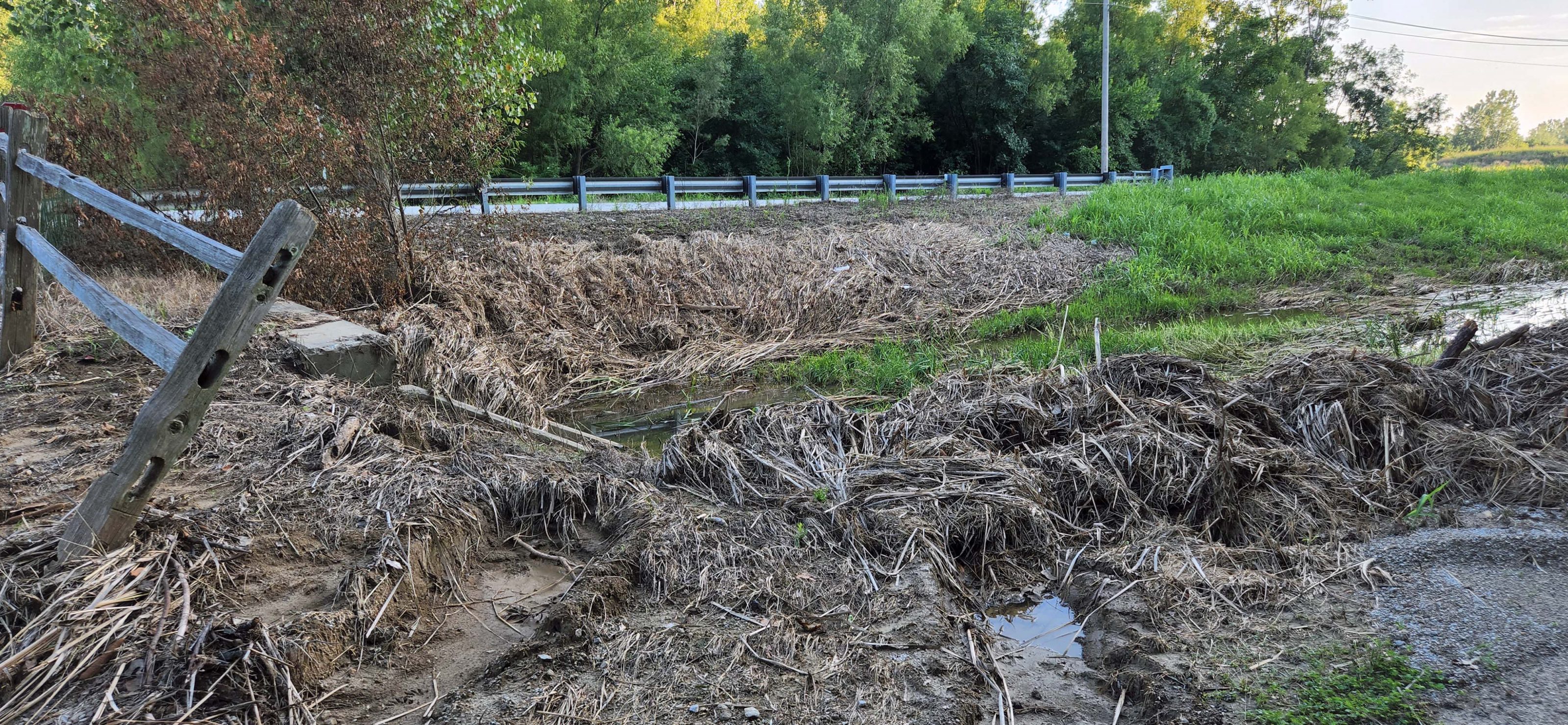
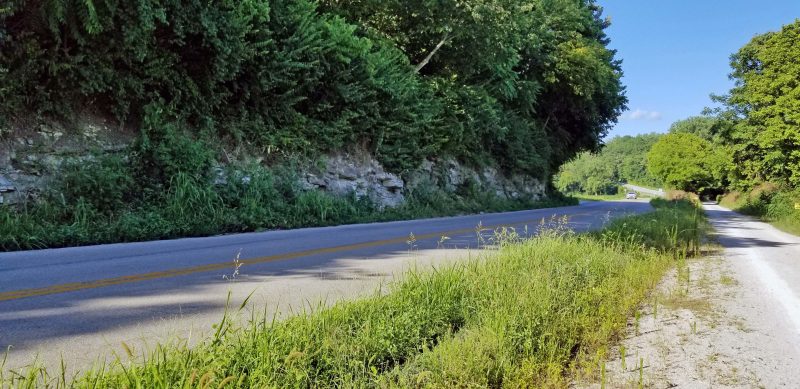
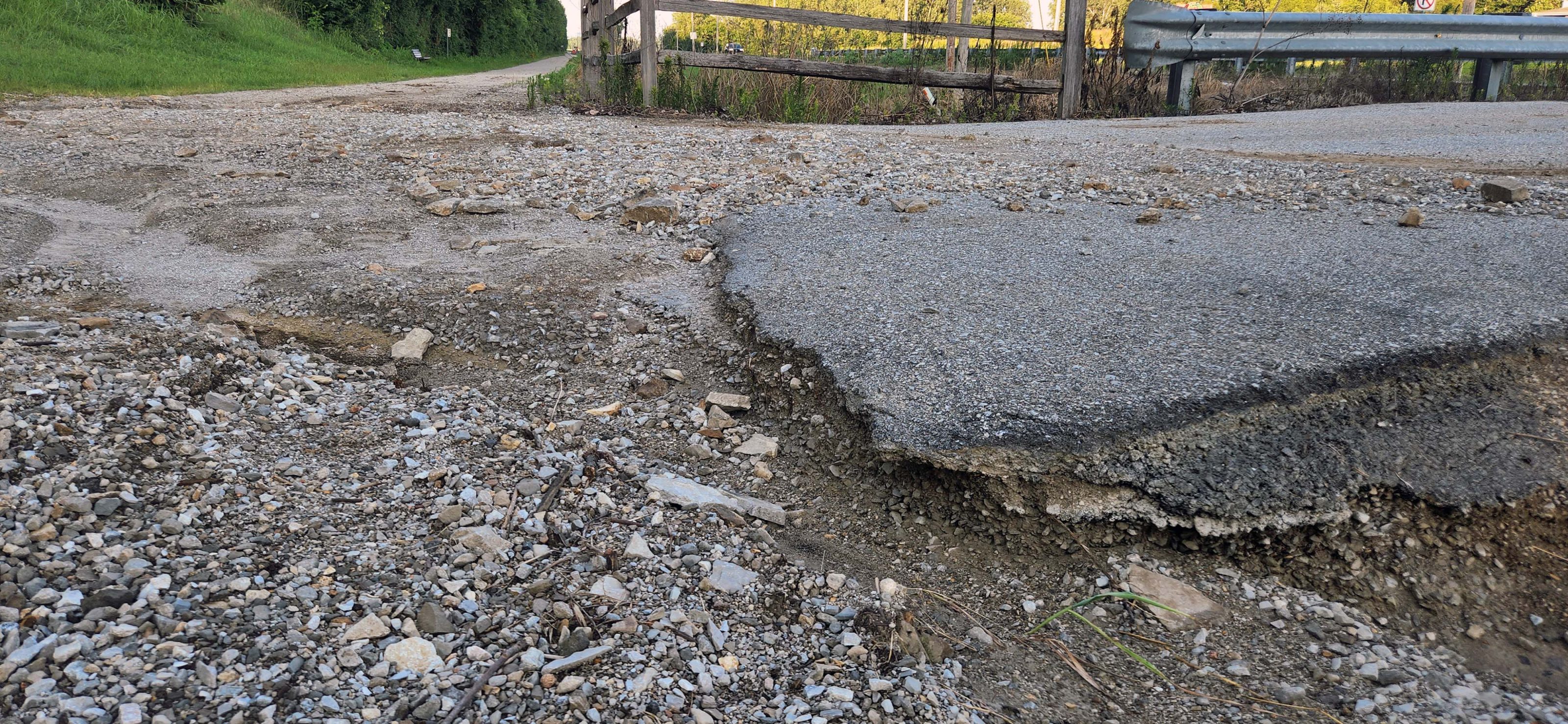
Our first street crossing required dismounting and walking our bikes across. The ruts were 4-6 inches deep all the way across the trail.

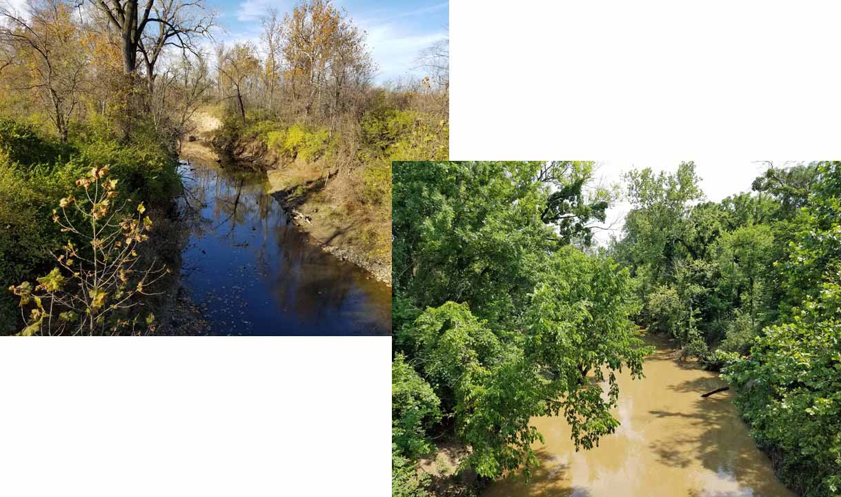
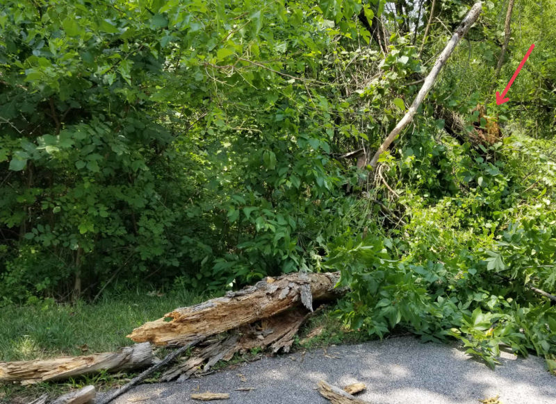
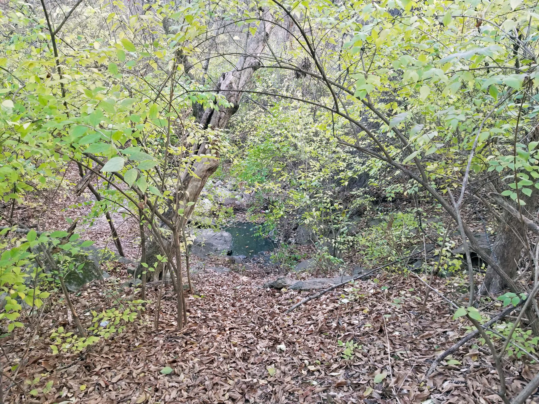
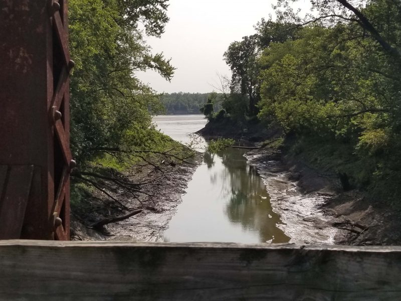
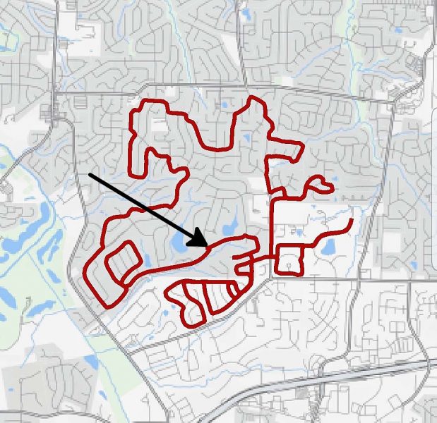
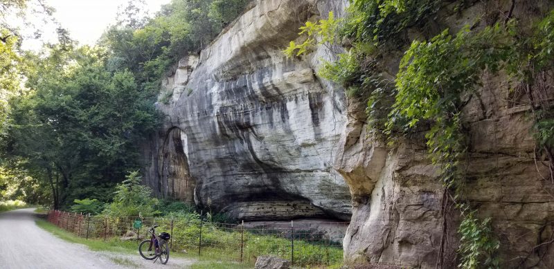
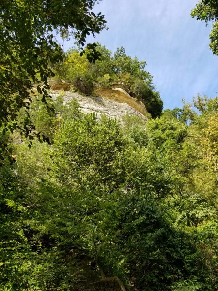
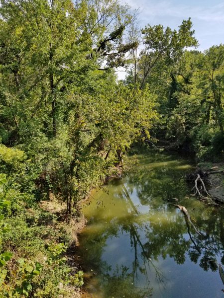
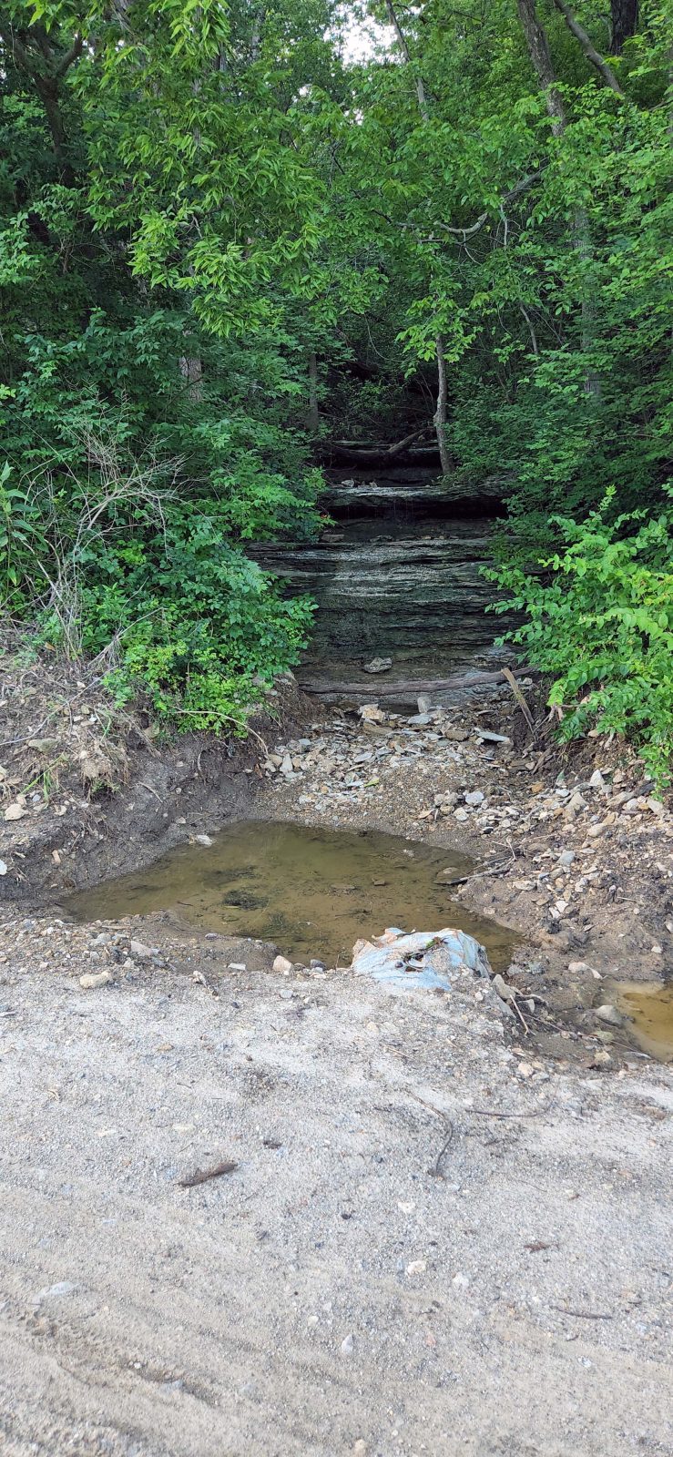
This might have been a huge source of water runoff. The Katy runs along a limestone river bluff at Greens Bottom. The standing water at the bottom of this point of the rock wall led Ted and me to think that the rainfall from the top of the bluff tumbled down these rocks like a giant waterfall, then ran over the trail.

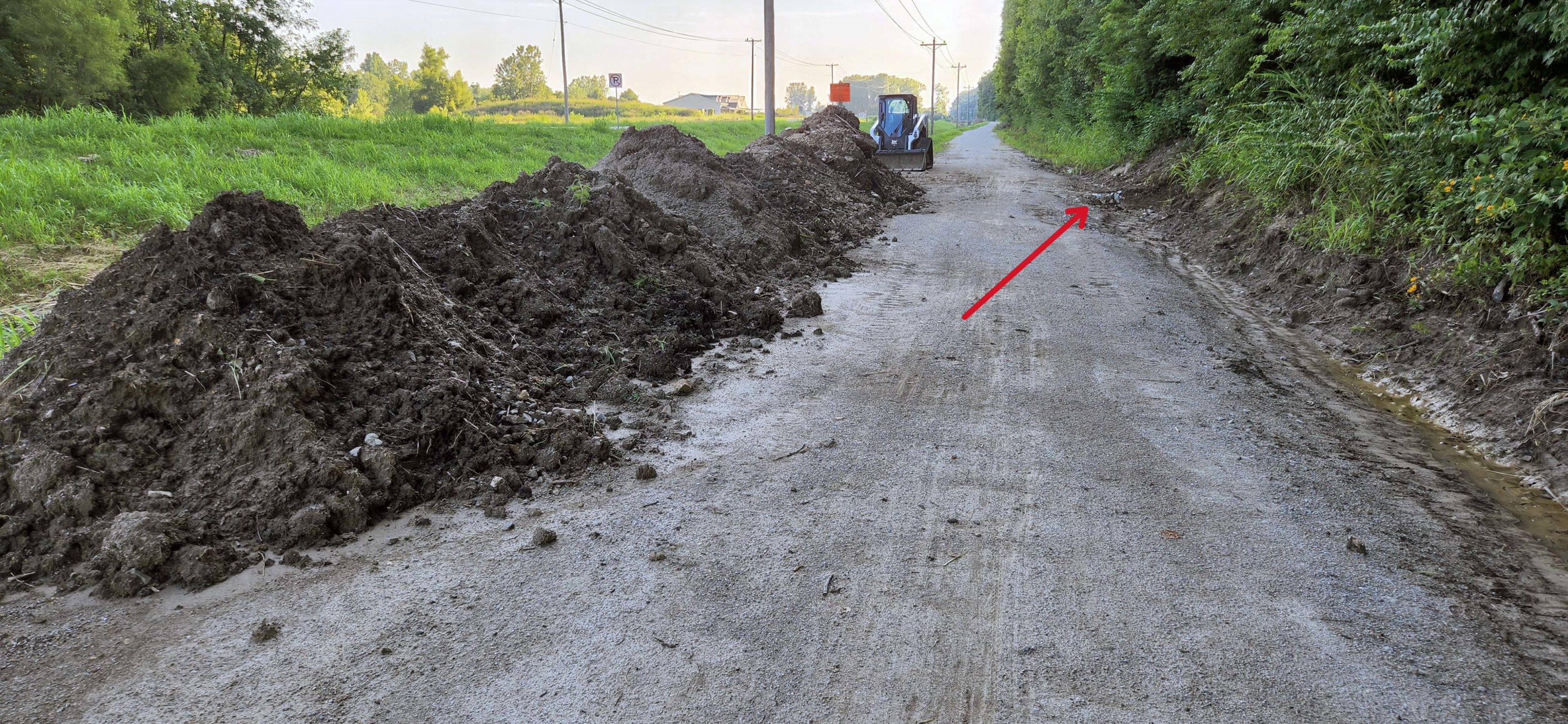
Our assumption about the water running down this bluff was supported by the piles of silt the bobcat piled up when workers cleared the trail. The arrow points to the base of the “waterfall” point in the above photo.

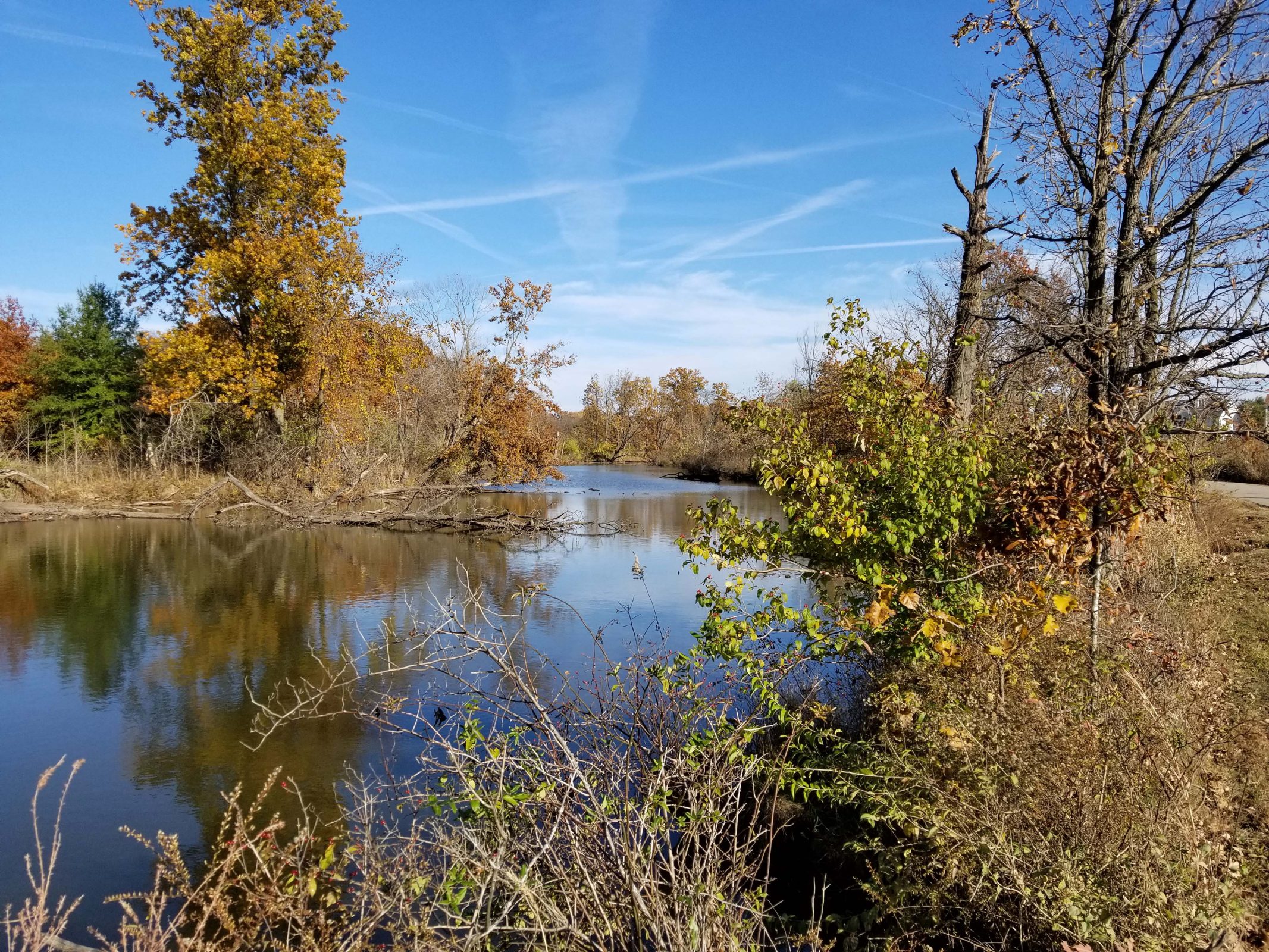
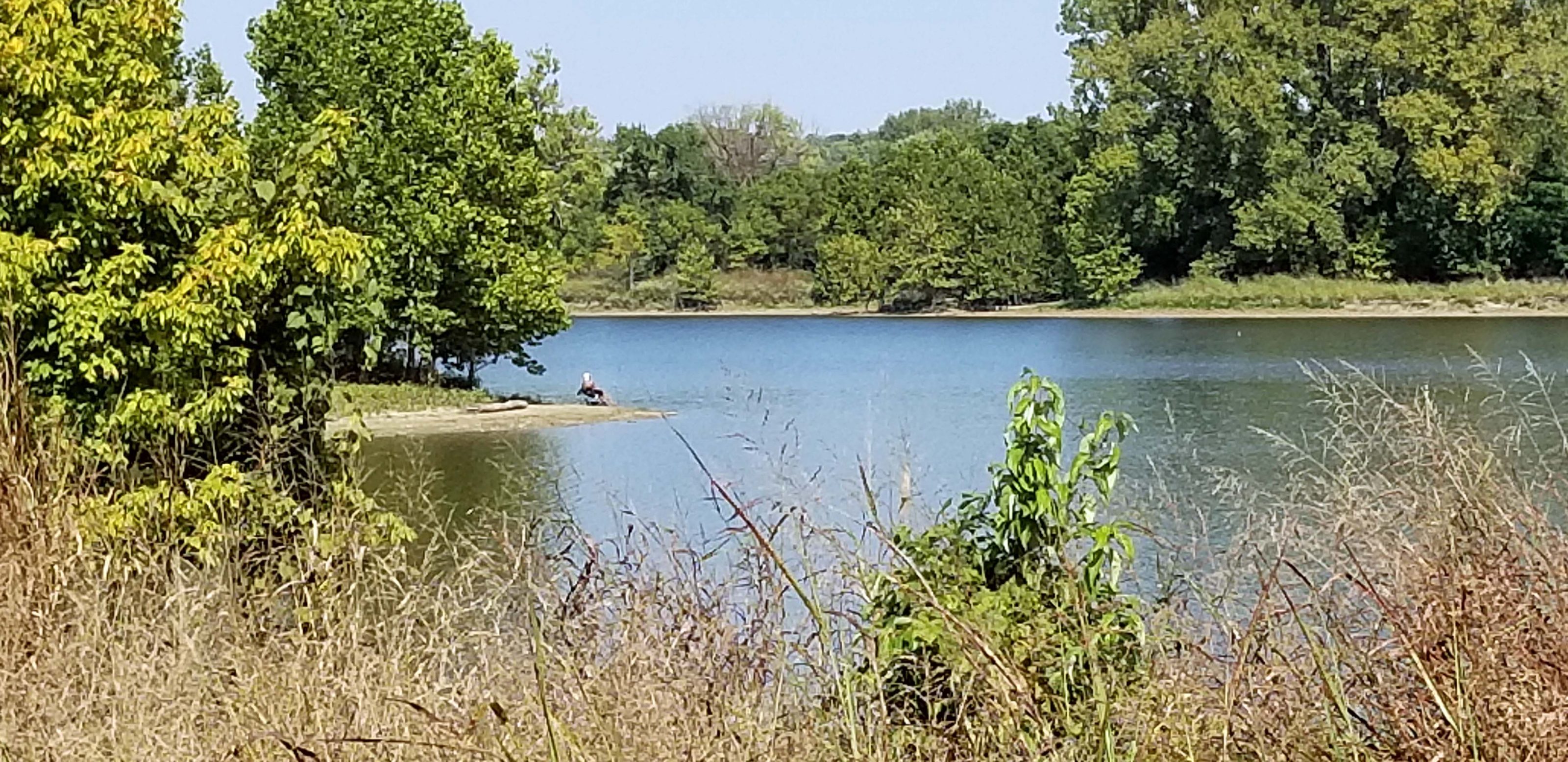
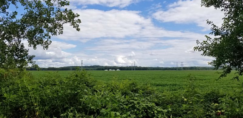
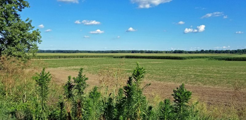
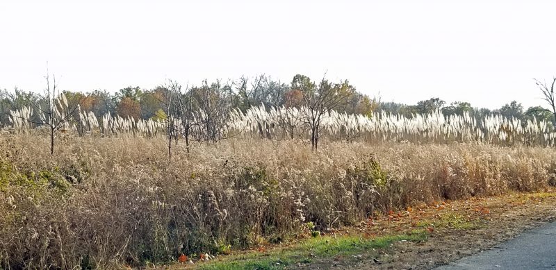
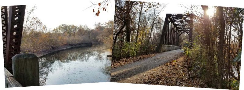
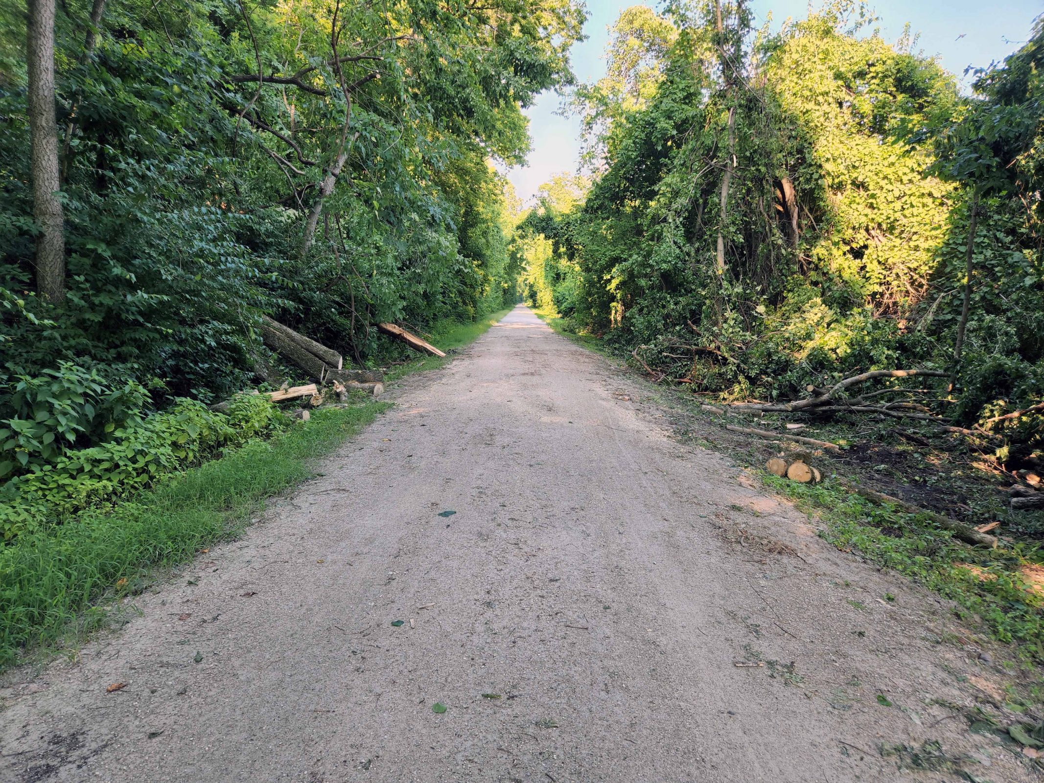
As we biked westward, we noticed a lot of trees that had been washed out by the heavy rain and the powerful flood waters. The Park Service has already been hard at work clearing the trail.

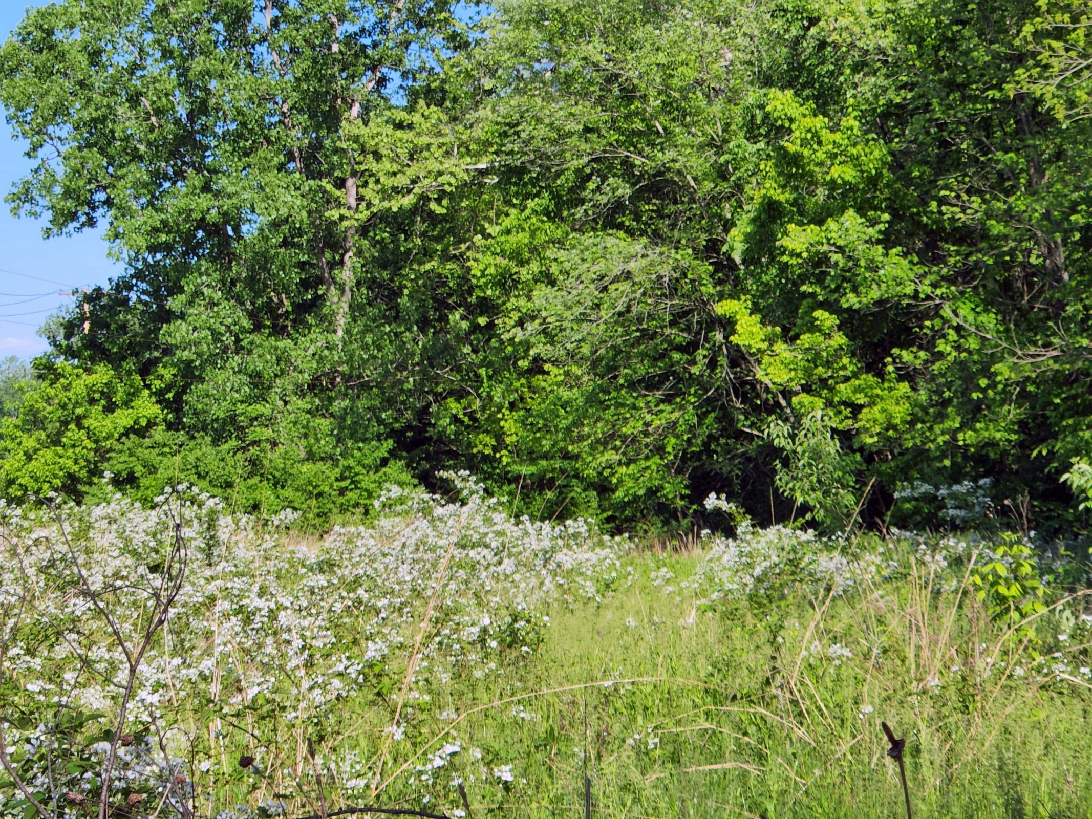
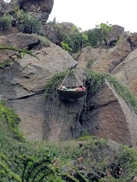
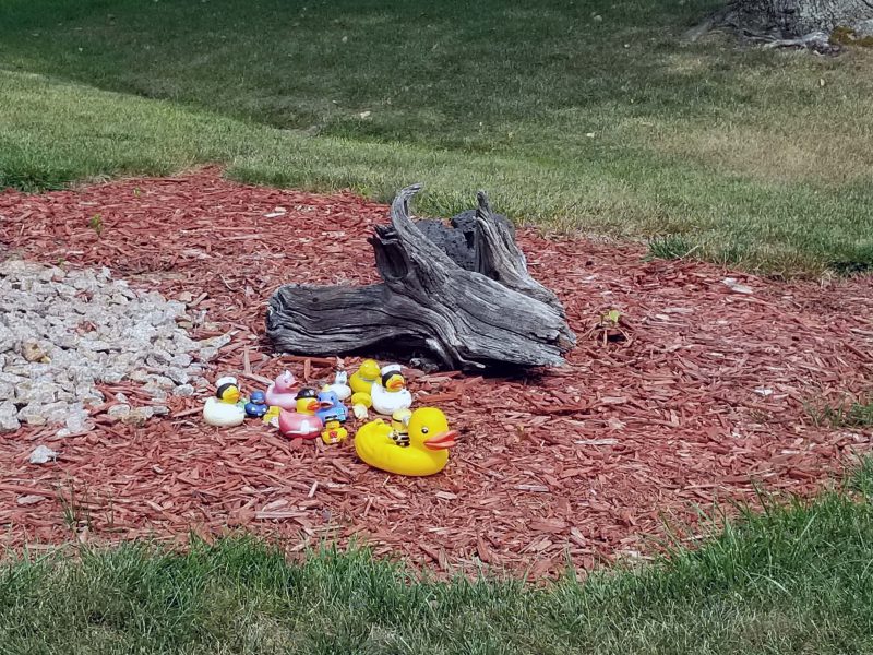
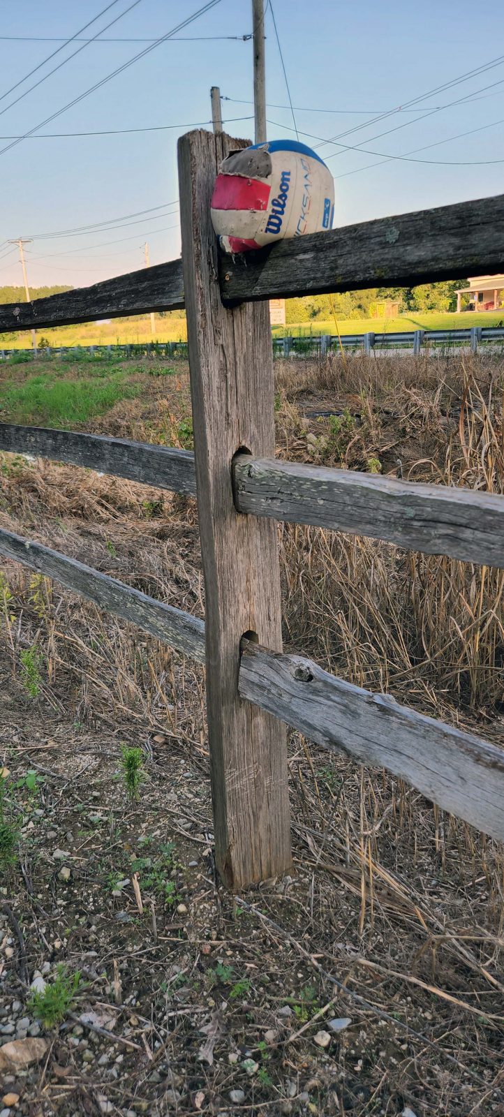
Along the way, we saw a volleyball that apparently floated away from its home and became stuck on a fencepost. Given its beat-up condition and the brand name facing us, we couldn’t help thinking “Castaway” and “Tom Hanks.”

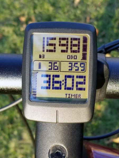
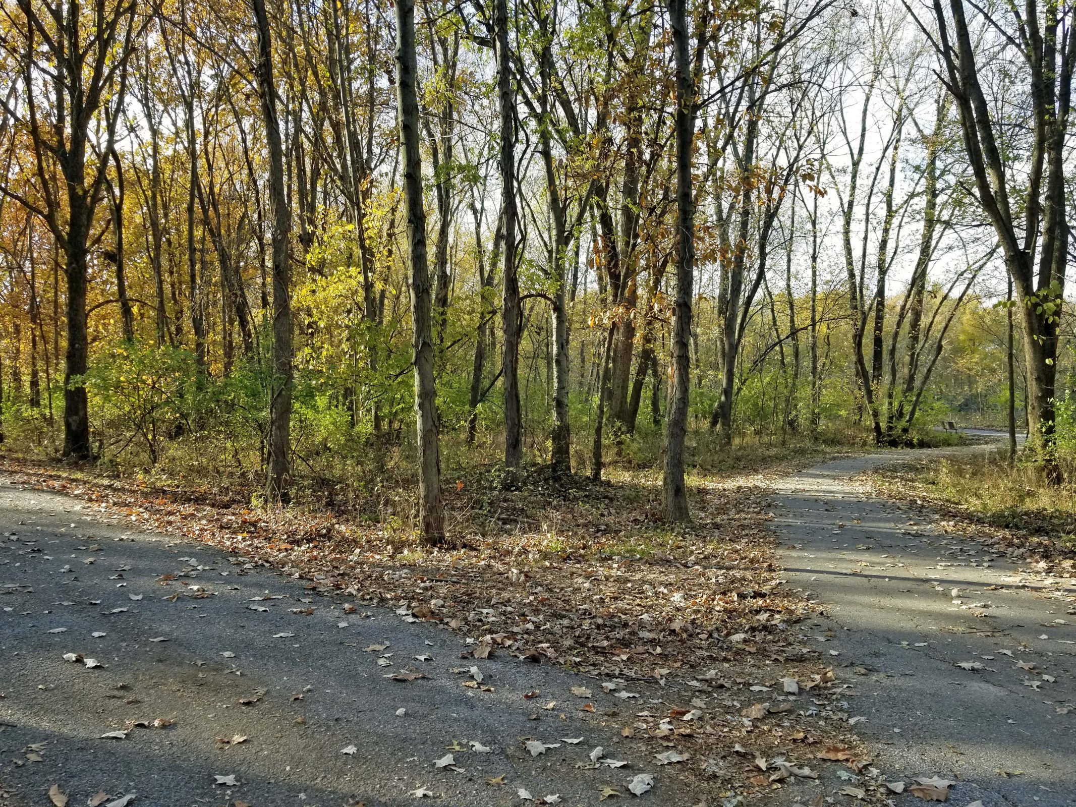
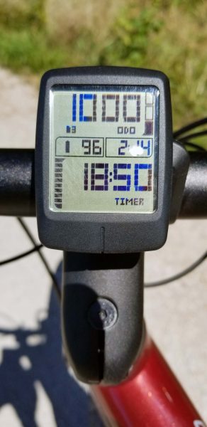
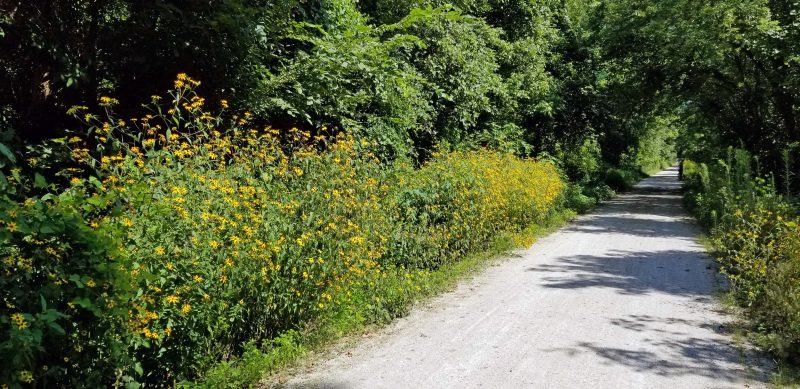
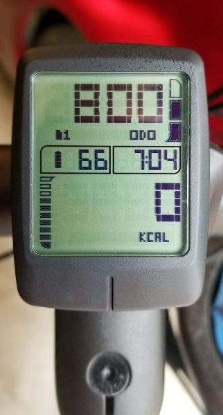
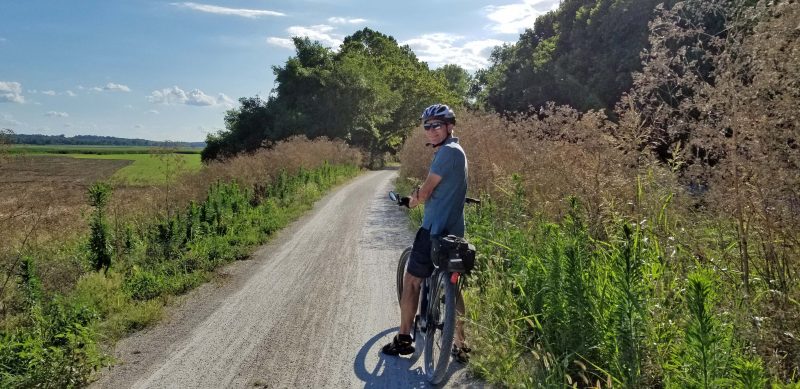
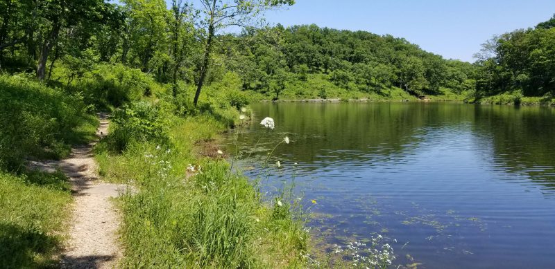
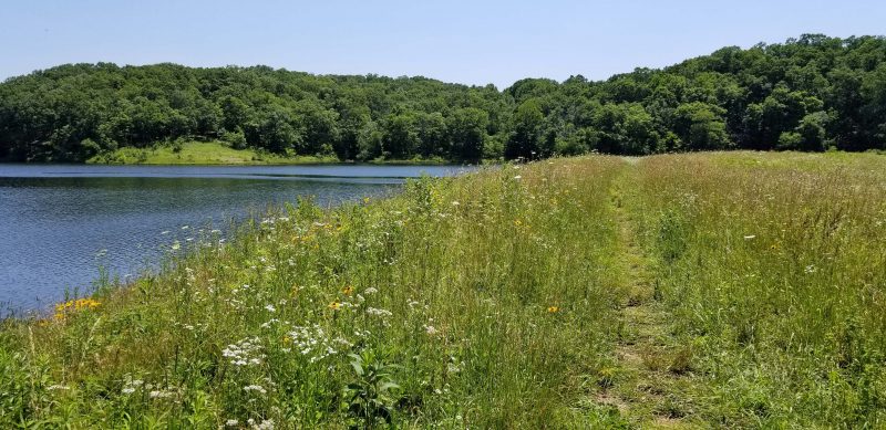
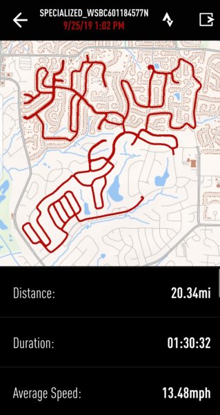
We had to slow our biking speed for the first two miles in order to navigate around the ruts in the road, but the rest of our ride was smooth. It was another good 22-mile ride on the Katy with a flood adventure for added interest.

When I biked the Katy Trail in the 1990s, I thought it was boring. It’s a hard-packed fine gravel trail and you can’t “loop” it–you bike in one direction, then turn around and see the same scenery in the other direction. When our ebikes inspired Ted and me to become more dedicated bikers (our pedal-assist ebikes have a serious fun factor), we decided to try as many of the metro area’s bike trails as possible. I somewhat reluctantly included the Katy Trail on our list of trails to ride just because it’s a metro area bike trail. The result: I’ve come to love the Katy. Why? First, it’s a long trail (200+ miles across the state along the Missouri River), so even on busy days, it’s not crowded and you can bike relatively long stretches without seeing another biker (or walker); second, it’s quiet and peaceful; and third, there are pretty views all along the trail.

Ted and I biked 20 miles on the Katy (10 miles in each direction, of course) twice in May and I was reminded of what a nice ride it is. As we headed west from Defiance on the first ride, I noticed that the only sounds were the birds and the crunch of our bicycle wheels on the gravel. In addition, the Katy provides beautiful views of the river, the trees, the river bluffs, wildflowers, farms, small river towns, etc.

Each of our two May rides had an adventure–one less pleasant than the other. On our westward ride, we found a side trail that led to a park and decided to take it. It turned out to be two miles of rough trail to the park. In some places, the trail was very steep with switchback turns that were too sharp to maintain our uphill momentum, so we had to walk our bikes up. When we arrived at the park, it was disappointing: a parking lot and a small lake for fishing. I think there’s more to the park (somewhere), but we didn’t see a good way to search for it, so we started back downhill. I was lucky and made it down; Ted’s bike slipped on the loose gravel and he needed a half dozen Band-Aids on his knee and on his elbow. It’s a good thing we keep a few first aid items in our bike bags so we could clean him up and cover the wounds. That little side trail is permanently off our list.

Our second Katy ride was eastward from the MO Research Park to Frontier Park in St. Charles, a nice turnaround point. We’ve done that stretch before, and it’s very relaxing to sit in the park and watch the people and the river for a little while before turning back. Frontier Park is a nice starting/stopping point for another reason too: it’s right across the street from historic Main Street and its shopping. Two of our favorite snack stops on Main Street are Grandma’s Cookies and Kilwin’s. It was a hot day, so we voted for Kilwin’s. Here’s what you can buy at Kilwin’s.

We got in line and ordered ice cream sundaes.

The sundaes were delicious. Kilwin’s refilled our water bottles for our return trip, and we had another nice afternoon on the Katy.

The high temperature of 85 degrees today broke the old record of 79 degrees. It’s time to get outside and play. First order of business: hit the road on our bikes. We spent an hour on a 14-mile bike ride around the neighboring subdivisions. Yippee!

Second order of business: Sit outside to enjoy the sunshine. Check!

Third order of business: a happy surprise. Ted knows how much I enjoy spring, so every year he buys me a pot of spring bulbs. This year, it was yellow tulips. Happy spring!

Today, Thom and Katie took us to Ohme Gardens, an alpine-style state park in Wenatchee. Here’s how the website description of the park begins.

In 1929, Herman Ohme purchased 40 acres of land for an orchard. Among that acreage was a craggy, dry, desolate, rock-strewn bluff with a breathtaking view of the snow-capped Cascade Mountains and the Columbia River valley.

Herman and his new bride, Ruth, loved to stand on that bluff and dream of flourishing alpine meadows, shimmering pools and shady evergreen pathways where the hot, relentless summer sun allowed only sage and scrub desert growth. They set their minds on achieving that dream.

www.ohmegardens.org

The alpine garden was intended to be a family retreat, but the interest of friends and community members prompted the Ohmes to open the park to the public. It was later sold to Washington State Parks to be preserved for future generations. We had a pleasant afternoon, walking through the gardens and enjoying Ruth and Herman’s dream.

We walked up and down pretty hillsides and beside peaceful pools.

On one hillside, there was a watchtower that Sefton liked. It was open on all four sides. This side of the watchtower provides a view of Wenatchee, the mountains, and the Columbia River valley. We could see the rock outcropping that lies just above Thom and Katie’s house, but it’s too far to the right to be visible in this photo.

All of us except Hadley spent a few minutes looking at this pool. Hadley didn’t see much of the park because she was sleeping. Being adorable all the time tires a girl out.

Throughout the gardens, there were hidden gnomes and fairies. A map of the gardens indicated the areas in which gnomes and fairies could be found and if a visitor (Sefton, for example) could find all of them, that visitor could check them off on his map, turn the map in to the attendant at the gift shop, and get a sticker. Sefton found all the gnomes and fairies and earned his sticker.

After we returned to the house, it was Hadley’s and my turn to watch a GBC (Great Ball Contraption) Lego video with Sefton. Hadley was tired again from being adorable, so she didn’t see much of the show. You can tell she’s asleep because she has her nose buried against my chest. As long as I could hear her breathing, I knew everything was good.

After watching the YouTube GBC Lego videos, Sefton had to show me the GBC he built. His GBC didn’t have moving parts (he gets a break here–he’s only four), so he held one of his GBC balls in his hand and took it over the contraption’s course as he explained to me what was happening at each point along the route. Notice all the Lego he has in the drawer under his bed.

Meanwhile, pursuing a different kind of intellectual activity, Ted and Thom went out to the back yard and finished installing an RHC (Ring and Hook Contraption) that provides a way to pass the time as well as a challenge. The ring is attached to a cord connected to the post. You pull the ring back, let it go, and hope it catches on the hook. I tried it a few times and knew immediately that we’d be waiting a lo-o-ong time for me to get the ring on the hook, so I went back to holding Hadley.

For dinner, Thom cooked wood-fired pizza in their portable wood-fired pizza oven. Because it’s portable, the family can take it along when they travel in their Sprinter van. The oven reaches approximately 750 degrees and a pizza can be cooked in about two minutes. Unfortunately, Thom was reaching for something and bumped the back of his elbow on the oven chimney. The result was a pretty bad burn. You can see the bandage on his arm. Aside from that, you can’t go wrong with pizza for dinner–especially wood-fired pizza.

We’re having such a good time with our family, we’re already looking forward to our next visit.

When Ted and I were at the bike shop recently, we saw this bicycle. It has four sets of pedals, but no gears. Without gears, the owner said it’s difficult to keep it going with a full load of people. (I’ll bet it’s really tough going uphill!) To solve that problem, the owner brought it to the bike shop to have a small motor installed in the rear. Other features include headlights, two steering wheels (each equipped with a knob for easy turning), a child seat mounted on the front for two smaller passengers, and a fringed top for shade. Note: You can see the bike shop’s three unicycle stools behind the surrey bike. Each stool includes pedals to turn its wheel. You can sit on a unicycle stool and exercise while you wait for your bike to be fixed.

Like all wheeled vehicles these days, the surrey bike also has cup holders. The bell to the left of the cup holders rings when the horn button on the steering wheel is pressed. I’d love to take a ride on this bike.

Ted and I have been wanting to ride the Dardenne Greenway bike trail for several weeks, but the weather has been crummy and we’ve been busy. Today was the day–perfect weather and nothing on our calendar. This was our first sunny day after ten consecutive days of thundershowers that dropped at least 6-8 inches of rain on us. Need I say the trail was kind of wet? It’s a blacktop recreational path, but we had to coast slowly through large puddles of water in a number of low spots on the trail.

The Dardenne Creek, which the trail follows, is still high, as you can tell by the overhanging tree branches in the water.

Here’s a view of the creek from one of the bridges last fall. Compare that to how it looked at the same point today. Greener today? Yes. Creek banks visible today? No.

Just for fun, we checked the soccer fields in Rabbit Run Park, one of the parks along the Dardenne Greenway. Those fields are along the creek and flood with any significant rain. Sure enough . . . even though there was little standing water visible from the trail, the grass-covered ground was so soggy, we’d have sunk to our ankles if we’d walked on it.

I’m standing at the high water point at this part of the trail. The trail is still covered with (mostly) dry mud. Notice that there is a bridge in the right center of the picture. Dardenne Creek flows under the bridge.

Here’s the bridge. It was obviously completely underwater during the past ten days of rain. Check the picture above again. Now imagine how much water was flowing here to make the creek wide enough for the water to come up to where I’m standing. We had a lot of rain.

All along the trail, we saw tree damage from the severe thunderstorm we had on the third day of our ten-day rain-a-thon. This was the biggest fallen limb we saw beside the trail. The arrow points to the where the branch used to be attached to the tree. In some places, broken branches had already been gathered into piles. The Parks Department has been busy.

We turned around at the Mid Rivers Mall Drive overpass. The Dardenne Greenway ends on the other side of the overpass and joins one of the St. Peters City bike trails. We opted to quit here instead of riding through the soft mud that settled in the low spot under the overpass.

The Dardenne is still our favorite bike trail and we had a nice ride on a beautiful day. Happy trails to us.

Today, Ted and I decided we felt like biking the Katy Trail from St. Charles to Machens, so we did. Machens is the eastern terminus of the Katy and we’ve been there before, but it’s a nice ride. We biked 25 miles round trip–just enough for today. The weather was perfect and there were wildflowers blooming for miles along the trail. We met very few other bikers, so it was a quiet ride and we could bike side-by-side nearly all the time.

When we arrived in Machens, there were several other people there. Since it’s the terminus, people at Machens always ask “Where did you come from?” Today, there were three of us who started in St. Charles and one man who started in Clinton, MO, the western terminus of the Katy. We all compared notes on how much of the Katy we’ve covered. Ted and I have bikes 67 miles of the trail. One man who has taken the train westward, then biked eastward toward home, reviewed all the places the train stops along the Katy. You may bring your bike on the train, but they only allow four bikes and the bike has to be a regular size two-wheel bicycle–no three-wheelers, trailers, etc. There’s apparently very limited bike storage space on the train. As a result, it’s necessary to make a reservation and buy your ticket about a week before you plan to go.

The man who biked from Clinton started riding two days ago and finished the 237 miles by 2:30 p.m. today while we were there. He described the Katy as a “Missouri gem” and said he was really impressed with the maintenance and the condition of the trail all the way. His wife drove the support vehicle. She followed him on the highways, brought him lunch, picked him up at the end of the day, transported everything except his daily trail necessities, and arranged for overnight accommodations, When she heard we are from St. Peters, she said she’d been shopping there earlier this afternoon before she had to leave to meet her husband at Machens. I took a celebratory picture of the two of them with his dusty bicycle.

Ted took a picture of me at the Machens stop before we left for a good ride back to St. Charles.

When we got home, we cleaned the dust off our bikes, had a light dinner, then relaxed in the hot tub before getting into the pool. Next: a Saturday date night Netflix movie with fresh strawberry sundaes.

This was a year to stay home. Because of the COVID pandemic, Ted and I have not spent a night away from home since we returned from Australia on January 15. With the world in lockdown mode during the first months of the year, there wasn’t much to do. Like many people, Ted and I hit the streets–walking and biking. It gave us a chance to get out of the house.

We love our ebikes and spent a lot of time on them all year. We found routes through the neighboring subdivisions that provided long and short rides. I think our longest neighborhood ride was just over 20 miles. We also tried out a number of greenways and bike trails in the area. Our longest trail ride was 40 miles. We rode the trails so frequently that Ted finally decided to leave the bike carrier on the car instead of putting it on and taking it off every few days.

Bicycling produces a wind chill. When the temperatures are in the 80s and 90s, that feels good; in the 40s, an extra layer of clothing keeps us comfortable. We biked so much that I set a personal goal to bike 1,000 miles in a year–from August 28, 2019 (when we got our new bikes) through August 28, 2020. I achieved that goal on August 20, so I set a new goal to ride 1,000 miles in 2020.

Our weather forecast for the next two days is rain mixed with snow, so it’s safe to say that the mileage after our last bike ride on December 27 is the final number for this year. At the end of 2019, my odometer read 364 miles. This is what my odometer shows now.

I bicycled 1,234 miles this year. Good for me! I love biking, so it was one of my joys in a year of challenges.

This summer, Ted and I noticed that, on one of the subdivision common grounds near our house, an opening has been cut in the woods and a trail is visible. We assumed kids had made a path from our subdivision down to the creek and up the hill on the other side to another subdivision in order to save about a half-mile getting to their friends’ houses.

We had a lot of rain over the summer and weren’t too interested in exploring a muddy path, but we were walking by a few days ago and, since the ground was dry, we decided to see where the trail leads.

Here’s the opening. The trail is clearly visible. And intriguing.

Within a few feet, the trail forks. This was more complicated than we’d expected.

First, we walked down the right fork. After about 20 feet, it ended in a puddle–I mean a small pond–that might connect to the creek, but we couldn’t tell.

We turned around, walked the 20 feet back, and went down the left trail. That leg goes far enough to see the creek (about 50 feet), but the area is very overgrown and covered with brush, so we didn’t go all the way to the creek.

We couldn’t see any place that the trail crosses the creek, nor were there piles of litter (cigarettes, bottles, cans, etc.) to indicate that kids gather here–unless they’re very neat kids. I guess there are some people who just walk around in the woods looking for a quiet place to get away. All in all, it was an anti-climatic end to weeks of curiosity.

We are in the middle of an eight-day string of absolutely beautiful fall weather–sunny, with high temperatures ranging from the upper 70s to the upper 80s. It’s November, so this won’t last, and we have to bike while we can.

Ted’s and my favorite bike trail / greenway is the Dardenne Greenway. We like it for two reasons: (1) it is quiet and always provides a peaceful ride; and (2) the scenery is varied, so it is interesting. If we connect to the St. Peters bike trails and the Cottleville bike trails as well, we bike about 20 miles. We decided to enjoy this Indian summer day by biking this route one more time this season.

We usually begin this bike ride at St. Charles Community College because it’s close to our house and because the greenway runs along two sides of the campus. As a result, we start our ride by biking around the campus, which is beautifully landscaped and is like riding through a park.

This route includes a variety of pathways. There’s a boulevard, . . .

. . . curves, . . .

. . . and what I call a wiggle-waggle stretch of trailway.

There are a number of sports fields along the way for a variety of sports. Here are two of them.

There are also several playgrounds. Again, here are two.

Like all the greenways and bike trails in the area, there are frequent benches to rest, to snack, or to just enjoy the peace and quiet while admiring the views.

The Dardenne Greenway and the Cottleville bike trails follow Dardenne Creek, so there are pretty creek views all along the way.

The Dardenne Creek drains a lot of area and can be counted on to flood during heavy rain. There are some signs along the greenway warning pedestrians and bikers that the trail may be under water after a “rain event.” The picture below shows the sports fields (on the right) in Rabbit Run Park, which is set beside Dardenne Creek. That’s a levee along the right side of the trail to keep the water from flooding the trail. When our kids played soccer, the games at Rabbit Run were always cancelled if there was rain, because Dardenne Creek always flooded the playing fields.

Because there’s a creek along the greenway, there are bridges to cross . . .

. . . and one bridge to bike beneath. This bridge allows the traffic on Mexico Road to cross the greenway. At this point, there’s a connecting trail up to Mexico Road leading to the St. Peters bike trail network.

There are meadows. This one has tall grass in the fall, but in the spring, it is covered with Queen Anne’s lace.

This meadow is being developed as a natural prairie.

There are five lakes along the route . . .

. . . and there are wooded areas.

I always think of Robert Frost when we get to this intersection in the woods. In “The Road Not Taken,” Frost writes “Two roads diverged in a yellow wood, and I– / I took the one less traveled by.” Well, here’s a yellow wood with two roads diverging and the road less traveled by is the one that goes to the right. Why? It overlooks a lake, but it dead ends just around the curve. Ted and I took the more traveled by road to the left so we could continue our bike ride.

There is even wildlife along the trail–ducks, geese, birds, squirrels, and bugs, for example. (And once we smelled a skunk.) On this ride, for the first time, we saw seven deer. Most walked (not ran) into the woods when we stopped to look at them, but you can see three in the photo below. The third one is in the woods between the big tree in the middle and the deer on the right. (Zoom the picture for a better view.)

The Dardenne Greenway is part of the Great Rivers Greenway project (GRG). The goal of the GRG is to connect all the parks in the St. Louis Metro area. The Dardenne Greenway makes a lot of park connections.

When we got home, Ted and I relaxed with a cup of hot chocolate beside our fire bowl. It was another good day in The Life of Ted and Diane.

Today was Ted’s and my third try to reach the eastern terminus of the Katy Trail, and the third time was the charm. The trail repairs between Black Walnut and Machens have been completed. During our ride, we passed the low point of the trail. The high point of the trail is 955 feet, near Clinton in western Missouri.

Since we’ve biked this route twice before, I wasn’t really thinking about taking pictures along the way. That means I have to confess that I found both of these photos online. The season is wrong (see the bare trees), but the low point is still 436 feet, and the depot and the gate at the end of the trail looked just like this.

Our goal has been to ride the Katy Trail from the eastern end to somewhere around Columbia because that’s as far as we want to drive to arrive at a trailhead. Today we met some other bikers at Machens who said they recently took their bikes on the train from St. Louis to Hermann to bike farther west. That sounds like a good idea. We might have to revise our western goal.

Ted and I started today’s bike ride on the Busch Greenway approach to the Katy Trail, then followed the Katy for less than a mile before going up the ramp to the bike lane on I-64 to cross the Missouri River. On the St. Louis County side of the river, we entered the Monarch Chesterfield Levee Trail, a portion of the Missouri River Greenway system.

It was a beautiful fall day for biking.

The levee views were kind of blah, since most of the crops are harvested, and the trees have not yet reached their peak colors. Even so, it was nice to ride along the top of the levee for 23 miles.

Almost immediately after entering the trail, we were surprised to see a small cemetery alongside the bike path

The headstones were engraved in German. This woman’s age was even given in months–89 years and 2 months.

These two markers were the epitome of simple.

We joined the levee trail near the middle of its length. Eventually, the trail will make a ring around 1,200+ acres and we’ll be able to bike in a circle. For now, we biked along the arm to the right, then back to cover the other arm, and then back to the Katy trailhead in the center. At one end of the levee trail, we saw a scenic barn and windmill. The windmill is on the right side of the barn. It doesn’t show well from this angle.

About halfway down the other arm we stopped at a rest stop. It looks like it’s supposed to provide some shade, but it didn’t. The high temperature today was 87 degrees, so a little shade would have been nice.

When I saw this tree, I couldn’t help thinking that it’s begging for someone to kick a ball through it and yell “Score!”

This bike ride was a bit of a “remember when” ride. The Monarch Levee was one of 1,000 levees that failed during the Great Flood of 1993. Its failure resulted in 15-20 feet of water covering the Chesterfield Valley and making US 40 (now I-64) impassable through the Valley for months. Note: At one point in 1993, Missouri was “a state divided.” The Missouri River runs across the state and every bridge crossing was flooded except the I-70 bridge in St. Louis County and a bridge in Kansas City. It was literally impossible to cross the Missouri River to travel north and south across the entire state except near the Kansas and Illinois state lines.

After 1993, the original 100-year levee was replaced with the 500-year levee we biked on today. After the Great Flood of 1993, the City of Chesterfield offered a tax incentive that made the Chesterfield Valley a mecca for retail. This idea has become a model for other cities to develop floodplains. I assume all those retailers hope to make enough money between now and the next levee failure to cover their future losses.

Just for fun, I looked up some of our 110 mm Instamatic 1993 pictures to compare them with our bike ride today. Here are two views of the Missouri River from the I-64 bridge. One was taken today, after weeks of very little rain; the other was taken in 1993 during the flood. See if you can tell which is which. Ted and I remember looking down from the bridge deck in 1993 and being amazed at how rapidly and powerfully the water was flowing and how much large debris it carried.

Today, Ted and I rode our bikes across the Missouri River in the bike lane on the bridge, safely protected from the eight traffic lanes crossing the river. In the summer of 1993, it wasn’t a problem crossing the bridge on the roadway because the highway was closed. The dry road surface ended in St. Louis County shortly after crossing the bridge. That’s Ted on his bike and Kari bravely standing in the middle of the highway, excited about the lack of traffic.

We biked across the bridge several times in 1993. It was a kind of tourist attraction for bikers and walkers. The commuter parking lot on the St. Charles County (western) side of the bridge was filled with cars equipped with bicycle carriers. The river in flood and the extent of the floodwaters were amazing sights. Also, it was just fun to bike on a closed / empty highway across a major river. The photo below shows how far we could go on the eastern side of the bridge. Notice the barriers trying to keep the water off the available roadway.

The photos below were taken from the eastern side of the Chesterfield Valley. Both pictures were taken after the floodwaters receded far enough to open US 40 (now I-64). Picture 15-20 feet of floodwater covering the highway. The upper photo was taken by a newspaper photographer from a helicopter; the lower one was taken by me from the side of the roadway.

Like other sightseers, Ted and I drove across the Valley when the highway opened to gawk at the floodwaters and the damage. Unfortunately, only a few hours after the highway was opened and only a few minutes after I took my photo, MODOT began putting barriers across the entrance ramp to the highway because the water was rising again. Ted and I had to take the long way home over I-70 instead. The highway remained closed for several more weeks.

Thankfully, we didn’t have any drama like that today–just one more enjoyable bike ride.

We are probably having our last weekend of summer weather with temperatures in the upper 80s, so Ted and I decided that today was the day to check the Centennial Greenway off our bike route wish list. Eventually, the Centennial Greenway will be 20 miles long, but right now, only 3.5 miles are finished.

A section of the Centennial Greenway crosses the Missouri River via a separate lane on the MO Hwy 364 bridge. Hwy 364 connects St. Charles and St. Louis counties. On the St. Charles side, the greenway bridge connects to the Katy Trail; on the St. Louis side, it connects to the Creve Coeur Park Trail. The photo below shows the bike lane of the highway.

Since we parked near the Katy Trail trailhead, one of the first things we saw beneath the bridge was the Katy Trail.

We haven’t biked across the Missouri River since the Great Flood of 1993 when we biked over the I-64 bridge to view the flooding of the Chesterfield Valley. The bridge and the St. Charles side of the river weren’t flooded, but the Monarch Levee on the St. Louis County side of the bridge failed and put the Valley under 20 feet of water. We couldn’t bike beyond the bridge. Today, you can see how low the river is. The breakwaters all show and there are visible sandbars. We need some rain.

It doesn’t look like the “love locks bridge” in Paris, but this turnout on the bridge bike lane has a fledgling collection of locks. Is love stronger if you attach a cable bicycle lock to the fence instead of a simple padlock?

The first thing we saw in St. Louis County was the Creve Coeur Airport. There’s a small plane at the turn of the runway, preparing to take off (left center).

Creve Coeur Park is the largest park in St. Louis County and includes one of the largest natural lakes in Missouri. The lake is named–surprise!–Creve Coeur Lake. A large portion of the park is wetlands. (That sounds better than saying “A large portion of the park is swampland.”) The wetlands are used for conservation purposes, including the study of several kinds of waterfowl. We saw a large white waterfowl, but it was too far away to positively identify it. We think it was a crane. It’s sitting on the log sticking out of the water.

The park has a paved walking / biking trail, a playground, picnic pavilions, boat docks with canoe and kayak rentals, a sand beach (no swimming allowed), a variety of athletic fields (tennis, soccer, archery, and more), and a golf course. It is one of the most popular parks in the region and the Creve Coeur Park Trail is described as “heavily trafficked.” This is true. We did a lot of bobbing and weaving with our bikes and I felt like a stuck record when I kept passing walkers and saying, “On your left.”

Here’s a view of the sand beach area (it’s called a beach, but swimming is prohibited) and the lake with the boat docks and rentals at the curve of the beach.

Looking in the opposite direction, you can see the Hwy 364 bridge we crossed in the distance (center) and the “no swimming” sign.

Picnic pavilions are scattered over this section of the park.

There are lots of park benches, so it’s easy to find a place to sit and look at the lake.

Except for the beach / picnic areas and the athletic fields, much of the trail that circles Creve Coeur Lake is wooded.

In case you don’t know, “Trail Use Etiquette” signs are posted along the trail.

Mallard Lake is a smaller body of water adjacent to Creve Coeur Lake. When Creve Coeur Lake was dredged in 2003, Mallard Lake was added as a siltation lake to prevent the need for later dredging. I’m not sure what that means or how it works, but it sounds like a good idea. A trail circles Mallard Lake as well and it is far less crowded than the trail around Creve Coeur Lake. Here’s a view of Mallard Lake.

This lady brought a lawn chair and is enjoying the peace and quiet while she does some fishing in Mallard Lake.

When we finished circling both lakes, Ted and I headed back across the Missouri River to our car. We had a great 20+-mile ride and it was fun to cross the Missouri River via the bridge bike lane.

Next on the bike ride wish list: Cross the Missouri River via the bike lane on I-64 to bike the (rebuilt) Monarch-Chesterfield Levee Trail through the (formerly flooded) Chesterfield Valley.

Ted’s and my bikes have a bluetooth app that allows us to follow our route on our cell phones. The app also collects data about the route, the elevation, the condition of our bikes, and lots more. A typical ride looks like this on the “My Ride” view:

The Katy Trail, however, is more linear. Yesterday’s Dutzow to Gore ride on the Katy looks like this:

The GPS on the app is pretty darn good. I zoomed the above map to show our turnaround point. The Katy has a ground limestone surface. Two paths (one in each direction) are harder packed from traffic than the center, so bikers avoid the looser gravel in the center. You can see two lines on our route–one on each side of the trail going in opposite directions. The place where the lines converge was a bridge (wooden planks, not gravel), where we tend to head for the middle.

Isn’t technology amazing?!

Today, Ted and I biked our next westward section of the Katy Trail and set a personal record: 42.87 miles round-trip. We started at Dutzow, where we ended on August 6, and headed for the Gore trailhead.

This part of the trail passes only two communities, so there are a lot of country scenes. There is also very little hiking / biking traffic on this part of the Katy so we had a pleasant, quiet, and mostly solitary ride today.

If you zoom in on the picture below, you can see black dots in the center. Those are Black Angus cattle, grazing between the trail and the road. We passed this point shortly after we started biking and, when we returned more than two hours later, I don’t think the cattle had moved. They were still grazing right where we left them. The same was true of a horse we saw standing at a fence beside the trail, still in the same place two hours later and still looking in the same direction.

Here’s a farmer harvesting his soybeans on a beautiful sunny day.

The next trailhead after Dutzow is Marthasville. It looks like a nice little village, but we had a distant goal, so we didn’t explore. We took a water break and moved on.

We passed the Caboose, a snack bar along the Katy. It doesn’t look derelict, but it does look deserted. Maybe closed for COVID this summer?

There are frequent over and under the road crossings on the Katy. Here’s an underpass that goes through the levee and beneath MO Hwy 47, as indicated by the sign on the right side of the underpass.

We’re still in the country. The corn is past its prime for human consumption, but the scene is pretty.

The Katy also passes over old railroad bridges. We rode across four of them on our route today.

The other community along this route is Treloar.

The information provided at the site was interesting to Ted and me. We learned that Treloar used to be called New Holstein. Ted grew up near New Holstein, WI. A year later, the town was renamed Treloar, after a man from Wisconsin.

The Katy Trail State Park is the longest state park and the longest rail trail in the nation. The trailhead depots all include a sign of pride.

Because the Katy Trail generally follows the Missouri River, we always have some pretty river views on our rides. Here’s what we saw from one of the railroad bridges we crossed. We haven’t had much rain lately, so the river is low.

Residents along the trail sometimes decorate for trail users. Today we saw pumpkins at a farm and a flowerbed surrounding one of the trail benches (no photo of that).

When I saw the sign for Lost Creek, my first thought was “We found it!” It flows under one of the railroad bridges into the Missouri River.

Ted and I picked Gore as our turn-back point today. It was 21+ miles from Dutzow, so we biked over 40 miles today–the farthest we’ve ever gone on a single ride. Our only regret was that we left some homemade cookies and apples in the car for a snack before heading home. We wished we had some cookies to eat at Gore.

If the weather holds, we’re hoping to make it another 20 miles west on the Katy this fall. That will take us about 15 miles past Hermann (McKittrick trailhead). Next year, we’re planning to pick up where we leave off this year and end our Katy Quest about 20 miles west of Columbia, MO. It’s a 90-minute drive to Columbia, and we don’t really want to drive farther than that for a bike ride. When the drive time exceeds the bike time, it’s time to do a multiple-day ride or find something closer to home.

“Where do you want to go today?” “I don’t know. I suppose the usual.”

After that in-depth planning session, Ted and I set off on our regular 15-16 mile bike ride that we call “the perimeter route.” We’ve biked this route at least twice weekly all summer, and it gets old. We take the outermost roads of 10 adjoining subdivisions, including ours, plus a few odd streets, just for the fun of it. The arrow points to our driveway, the starting point.

And yet, even on an old, familiar route, new things can happen. For example, one of the homeowners put out a cute display of rubber duckies. The big duck has a minion on its back.

Even better, we met someone. There’s a man along our route who waves at us every time we pass his house. He apparently sits on his front porch as often as we bike that route. The last time we saw him, I told Ted that if he’s outside the next time we ride by, I’m going to introduce myself and ask his name so we’ll both know whom we’re waving to.

The friendly man was outside working in his front yard this afternoon, so we stopped to introduce ourselves. He’s Floyd. Floyd Cline. Shocking! As soon as he said “Floyd” a little bell started going off in my head and when he added “Cline,” I recognized the house. He’s the father of Carrie Cline, one of Kathy’s best friends from her K-12 school years, and of Harvey Cline, who was in Kari’s grade. His response to us was “Are you the Schroeders? Do you still live on the corner in Park Charles?” Yes, and yes. We haven’t seen each other since Carrie and Kathy graduated from high school in 1991, so neither of us recognized the other. We spent some time chatting and catching up on what we and our kids are doing. Then Floyd went back to work in his yard and we continued on our bike ride.

Even when we ride the same old bike route, we have new adventures. The fun never ends.

Since we’re biking so much this year, Ted and I decided we should set a goal to ride all of the Katy Trail from its beginning to some point westward. We couldn’t ride the last two miles to the beginning of the trail due to trail repair, but we’ve now gone 44 miles from that point westward–and back, of course, for 44 more miles because there is no shuttle service to return us to our car. The entire trail (Machens where the trail is being repaired to Clinton near Kansas City) is 238 miles. There’s an organized 5-day summer bike ride from Clinton to St. Charles every year. Except this year, of course.

Today’s Katy ride was a fill-in to cover the 15 miles between the Busch Greenway and the St. Charles trailheads that Ted and I had not biked. It was another route with variety: river views, limestone river bluffs, farmland, subdivisions, and the big city of St. Charles.

We entered the Katy at the Busch Greenway trailhead and headed east. The first iconic trailhead depot we saw was Greens Bottom Road. I’ve always thought Greens Bottom was an interesting name. A shorter trail leaves the Katy at this point and goes to Greens Bottom Lake. We’ll try that route on another day. This depot is located on a very long, shade-free stretch of the Katy. It was hot today (mid-90s), so Ted and I were glad to get back into the shade of the river bluffs and the trees.

Suddenly, the views became citified. Here’s the St. Charles Family Arena where Ted and I saw performances by B.B. King and Frankie Valli.

It was fun to zip through this little tunnel / underpass. The trail must be more level along this 15-mile stretch than others we’ve biked because our average speed at the end of the ride was 15+ mph and it’s usually closer to 13+. We really moved along today. As Kari once pointed out, the Katy is a fairly easy ride, but you never stop pedaling. There are no steep hills to climb–and, therefore, none to coast down.

Here we are at the entrance to Frontier Park in St. Charles. It’s the Lewis and Clark (and dog) statue.

I’m glad we decided to bike from the Busch Greenway to St. Charles instead of going in the other direction. Frontier Park was a nice place to rest for a little while before we turned around for the second half of our ride. We enjoyed the shade and the peacefulness of the park and the Missouri River view. At the Busch trailhead, there’s nothing but a single park bench alongside the trail.

The river is low because the rain turned off about three weeks ago. After record rainfall all year, the weather has been very dry. The rivers were unusually high all summer until recently. Look at the opposite bank in the photo below. You can see a large log the river deposited at the top of the bank (center), as well as the grooves cut into the bank delineating the recent dropping of the water level to where it is now.

We biked the entire length of Frontier Park to the bandstand, our past starting point for our incompleted ride to the beginning of the trail at Machens. (Two miles to go after that section is re-opened.)

The river is low enough for the breakwaters to be visible. Some people are taking advantage of that to do some fishing.

We turned around and headed back through the park for our return trip.

Here’s the St. Charles trailhead marker for this entrance to the Katy Trail.

Just outside of Frontier Park, it’s a pretty ride between the trees on the riverbank and the original railroad tracks.

We biked past the Creve Couer trailhead that goes up to MO Hwy 364, which crosses the Missouri River. There’s a bike lane on the outside of the bridge that connects the Katy Trail to the Centennial Greenway in St. Louis County. That’s a greenway Ted and I want to ride–hopefully, sometime this fall.

There’s a similar bridge / bike crossing at the I-64 bridge that connects the Katy trail with the Monarch Levee trail in St. Louis County, another place Ted and I want to bike this fall. The Monarch Levee was the most severe of the levee failures during the Great Flood of 1993. That levee failure put the Chesterfield Valley under 20+ feet of water. Some damage to trees is still visible.

Yup. My bike looks like I rode it thirty miles on the Katy Trail. I have a clean-up job on my agenda.

But before we clean the bikes (lower right corner of the photo), Ted and I need to cool off in the pool. It was another great bike ride.

My readers know that Ted and I have been doing a lot of biking this year. We like biking on the greenways and on the bike trails, but most of the time we bike around our neighborhood. People along our most frequent route recognize us and one guy calls us his “neighborhood bikers.” It’s easy to put on 10-20 miles without crossing a major secondary road or a highway, but some variety would be fun. Kari and Dylan agreed, so we decided to bike each other’s routes for a change of scenery.

Last week, I went biking with Dylan. It was nice to ride through McNair Park, go into downtown St. Charles, and ride along the Missouri River instead of seeing the same old, same old on my usual rides. His route has a lot of hills. The original name of St. Charles wasn’t Les Petite Côtes (The Little Hills) for nothing.

In exchange, Kari and Dylan came over to check out our route. It, too, has a lot of hills. That’s why Ted and I like our ebikes so much. Although our route has a limited variety of scenery, it goes through ten subdivisions circling ours and includes a Sikh Temple.

We all agreed that the change of route and scenery was fun. Kari has biked the Dardenne Greenway with us, and she suggested we ride there next time. Dylan hasn’t been on that greenway yet and we all think he’d enjoy it. Until then, here are the happy biking buddies. Notice that Dylan is now taller than I am. That leaves only Teddy and Sefton still shorter than their grandma.

Today, as Ted and I were biking on the Katy Trail, my bicycle odometer turned to 1,000 miles.

That’s 1,000 miles since I got the bike on August 28, 2019. My next goal: 1,000 miles in 2020. I have only 364 miles to go.

I’ve had bikes on my mind (see previous posts)–probably because Ted and I have been biking so much during the past six months of our COVID-limited activities. Our recent bike activity reminded me that Ted and I have always biked, and I remembered a picture from October 1972. Jeff is eight months old and is already a bicycling veteran. After Kathy was born the following spring and was able to sit, we bought a matching baby bike seat for her and mounted it on my bike.

Compared to today’s baby bike seats and baby bike helmets, this doesn’t look very safe, does it? No helmet for Ted (or me) at that time either.

Simon Cowell fell off his ebike and made national headlines, including a public warning from the NBC Nightly News anchor. Because “elderly people” (ask people over 60 how they feel about that term) make up a large part of the ebike market, we were warned to “be very careful,” because ebikes go “10-15 mph faster than regular bicycles.”

Say what??!! Ted’s and my ebikes don’t go faster than our regular bikes. They only go as fast as we pedal. The pedal-assist feature on our bikes makes climbing hills easier, but if we don’t pedal, we don’t go.

When I went to the bike shop to pick up my replacement bike bag I asked Brad about the NBC News warning. He pointed out that there’s a difference between a no-pedal throttle-control ebike and our pedal-assist ebikes. Brad said pedal-assist ebikes “require effort to go 20 mph” and I agree. (Not counting downhill.) My research on ebikes revealed that they don’t require an effort great enough to train for extreme bicycling, but they provide a good workout, especially since ebike riders tend to ride farther and more often than regular bicycle riders.

I don’t think Ted and I need to worry about exceeding the legal speed limits on our ebikes.

******

Author’s note: The “elderly” (age 60) Simon Cowell was riding a throttle-control ebike. On that type of ebike, the rider either twists or squeezes the throttle and the bike takes off. Throttle-control ebikes can go up to 60 mph. No pedaling is required. Cowell might have expected more of a bicycle experience than a motor scooter experience and was caught off-guard. Unfortunately, his injuries were serious and required six hours of surgery and the placement of a rod in his back.

If not, too bad. The worldwide bicycle shortage is apparently a long way from over.

Ted and I went to the bike shop today to have Brad, the owner, look at my bike bag. The lining on the main top pocket regularly gets stuck in the zipper teeth. It was a relatively expensive bag and it looks like I might get a replacement. Brad said he’d get back to me on that by Monday.

While I was waiting for Brad to finish with another customer, I talked with Tony and I asked him how many bikes they have for sale now. Tony pointed to a small collection of bikes in a corner of the showroom–a few e-bikes and a few kids’ bikes–and then waved his arm over the rest of the showroom. “All of these other bikes you see,” he said, “are here for repair.” He told me people are raiding their basements, garages, and attics to find old bikes they can fix because the wait time for a new bike is so long.

These are some of the bikes waiting for repairs. Note that the line of bikes along the window wall is two rows high.

When I asked Tony what the wait time is for a new bike right now, he laughed / snorted and reached for a handful of papers. He had eight sheets of 45 names per page of people who are waiting for a test ride on a bicycle. Each line on the page includes the customer’s name, contact information, and the bicycle model the customer wants to test ride. When that model becomes available, the first customer on the list wanting that bike will be able to test ride it to see if he / she likes it enough to buy it. Wow!

Tony wasn’t finished. He went over to the counter, picked up a copy of the August 1-2, 2020 Wall Street Journal and showed it to me. The article mentions that it can take a bicycle mechanic an entire day to earn the equivalent of the profit on a single high-end bicycle sale. Also, repair shops are running out of parts and there is a weekslong backlog for repairs.

Ted and I are so-o-o-o glad we bought our bicycles last August!

Ted and I rode the Katy twice this week: once to the north from St. Charles and once to the west from Defiance. The Katy Trail follows the railroad track of the Missouri-Kansas-Texas Railroad, and my always-active mind wondered why it’s called the Katy instead of the MKT. I checked online, where all questions are answered. Yes, it was the MKT Railroad, but the Kansas-Texas division of the railroad used “KT” as its stock exchange symbol, and KT soon evolved into the nickname “the Katy.” Now we know, so back to the bike rides.

Katy to the north

In the past, we’ve only biked a few miles north of St. Charles. Our goal this time was to ride to the beginning of the trail at Machens, 12.6 miles, according to our trail map. We almost made it.

We started at Frontier Park in St. Charles.

Thanks to COVID-19, there was a warning sign at the park. I guess it’s a sign of the times. (I know. Bad pun.)

We continued on our way. The trail wasn’t crowded, but after leaving St. Charles 2-3 miles behind us, we met fewer than a dozen other bicylists the rest of the way.

The river views were scarce, but still beautiful. Since we were biking toward the confluence of the Missouri and Mississippi Rivers, and since St. Charles County is very narrow at this point, we wondered if this was the Missouri River or the Mississippi River. How can you tell without a map? Answer: Check the direction of the flow. Even after living here for 47 years, it still seems wrong to me that the Missouri River flows north. The Mississippi River does the “right” thing and flows south. The water in this picture is flowing north.

I love this house, especially the center window wall.

Was this a picture-perfect day for a bike ride? Absolutely!

We biked through lots of heavily shaded areas on the trail. After one such area, the trail curved and had a short rise. Suddenly, we were riding in the open on top of the levee. It was a little bit exciting to find ourselves almost instantly elevated above the corn.

We saw lots of water lilies in a tributary of the river. You can see beds of water lilies all the way to the distant curve of the tributary.

The farther we biked, the less frequently-traveled the trail became. It started to look more like a country driveway than a biking trail.

One family had a raft in their little river tributary. It brought back childhood memories of swimming in Wisconsin’s inland lakes. All the lakes with a public swimming beach had a raft and we always said, “Let’s swim out to the raft.” It was a perfect place to sit, sunbathe, or jump/dive into the water.

When we reached Black Walnut, we knew we were only three miles from our destination of Machens at the beginning of the trail.

And then we were abruptly stopped.

With only a little more than two miles to go, trail maintenance workers had closed the trail. We’ll give them some time to finish their work, but we still want to make it to Machens so we can say we went all the way to the beginning of the Katy Trail. That’s a plan for another day.

Katy to the west

The weather has been cool all week, and definitely unusual for August in Missouri. The normal high temperature is 89 degrees, but we had highs in the upper 70s plus low humidity for several days. We needed another long bike ride.

We enjoyed our recent bike ride from Defiance westward so much that we wanted to do it again. Not to mention that we were disappointed we didn’t make it all the way to Dutzow last time. We thought it was about seven more miles one way, but found out later it was only two miles from where we stopped and turned back. Let’s do it!

It was another pretty day and another pretty bike ride.

We passed Augusta again. All the highlights of the town are listed on the blue sign, but the sign is at the bottom of a steep hill and the crossroad at the top of the hill goes upward even more to the right. We need to check out Augusta a little more before we decide to tour it by bicycle.

Wildflowers were blooming along the trail.

This time, we made it all the way to Dutzow–16.2 miles one way. Mission accomplished!

Next week is expected to be hot and humid again, but Ted and I have several trail rides planned for the next set of cooler days.

Note: I’ve got a title theme going–15! 100! 800!

Since February, Ted and I have biked 436 miles. Tonight’s ride turned my odometer to 800.

Note: “K-K-K Katy” was a popular World War I song and made a comeback during World War II. The first line of the song is “K-k-k-Katy, beautiful Katy, you’re the only g-g-g-girl that I adore….” I know all the words because my dad used to sing it at home.

Yesterday was a perfect summer day–not too hot with low humidity. Ted and I thought it was a good day to bike a different section of the Katy Trail. This time, we entered the trail at the Defiance bike stop, less than a half mile from where we ended our July 4 ride, and went 13 miles west toward Augusta and Dutzow. We should have gone on to Dutzow, but we thought it was at least seven more miles (and back); had we known it was only a little over three miles, we’d have done it.

Most of the Katy between St. Charles and Defiance closely follows the Missouri River and is nicely shaded by trees. In other words, the view doesn’t change very much. It’s a beautiful bike ride and it’s very peaceful, but variety in scenery is limited. Our ride today was very different from that. The trail sometimes took us alongside the river and sometimes bordered MO Hwy. 94, which also follows the river. We crossed lots of bridges, and biked through farmland and through Missouri wine country in the Augusta wine district. Local pride note: The Augusta AVA was the first federally approved American Viticultural Area, becoming official eight months before California’s Napa Valley AVA.

The Katy Trail borders the MO River side of Defiance. At the trail entrance, there are restaurants and bars that were really hopping on a Sunday afternoon. One parking lot was filled with motorcycles (a biker bar?) and live music was provided in every venue. The first town we passed west of Defiance was Matson. Matson’s bike rest area looks like a little train depot. The trail is in the center of the picture and that’s Hwy. 94 on the right.

Just a little farther beyond Matson, we entered Augusta. Of course there was a winery right beside the trail. The trail is still following Hwy. 94 (left).

Sometimes the trail was a long way from the Missouri River as we passed through farmland. The trail is somewhere beyond the blue horizon (I couldn’t help it–another song reference). The corn was as high as an elephant’s eye (cf Oklahoma!–I’m apparently feeling musical) and we’re looking forward to fresh local corn in the next week or two.

We crossed lots of trail bridges over creeks that feed that Missouri River.

In many places along the river, we’ve biked beside tall, limestone bluffs. This one was different from the ones that go straight up and are shadowed with vegetation. It also added a new word to our vocabularies when we read the sign that said “Riparian restoration in progress.” Now I know that riparian means “of, on, or relating to the banks of a natural course of water.” Or, in simpler terms, a riverbank. It was a pretty impressive block of stone.

We frequently rode beside Hwy. 94. The portion of trail we rode today crossed the highway several times. In case you’re wondering, the path with the yellow center line is the highway; the other is the bike trail.

Are we still having fun? You bet!

There were lots of visual treats as we biked through the farmland areas. Below are a white stone wall/levee bordering a country road; a white barn set off by the summer green trees; an aluminum silo and granary; and an old Ford tractor parked inside a shed.

There are lots of park benches along the Katy Trail. This one stands out because it looks so lonely. Most of the benches are surrounded by woods and have a scenic view. This one gets a dead tree, a fallen sign, and nothing but flat fields to look at.

The river views are always pretty. I took this picture near a boat launch. There were a lot of cars with boat trailers in the parking lot. It was a good day for boating, too.

As the sun dropped lower in the sky, the clouds began to turn pink.

The Katy Trail is paved with hard-packed gravel. The weather has been dry. As we rode, our back wheels created little plumes of dust behind our bikes. After riding 25+ miles, the bikes were pretty dirty. I ran my finger over a spot on Ted’s navy blue chainstay and over his black tire and rim. You can see how dusty they are. Our bare legs (and feet and shoes) were also coated with a thick layer of white dust. Our clothes had a thinner layer, but felt gritty. When we got home, we washed the bikes, cleaned the chains, and vacuumed our bike bags. Compare the clean bag to the dirty one.

After the bikes were clean, it was our turn: a shower, a change of clothes, and a load of laundry, then dinner. Twenty-five miles of biking is hungry work, but it was fun. When we got back to our car and were loading up our bikes, Ted said, “I’m kind of sorry we’re finished.” I was too. Next time: Dutzow and farther west.

Picture it: It’s the Fourth of July, but Ted and I have no plans to do more than watch the neighborhood fireworks (legal in our jurisdiction). So dull. With fireworks being launched in the streets throughout the nearby subdivisions, taking a walk or a bike ride was out of the question. We’d spend far too much time waiting for a launch before we could pass and dodging falling bottle rockets, etc.

By 5:30 p.m., I was going crazy and wanted to do something. Aha! Brainstorm! I suggested to Ted that we load up our bikes and head for the Katy Trail. I listed reasons this would be a good idea: (1) We’d get out of our yard and the subdivision; (2) it was still several hours until sunset; (3) the trail would probably be deserted because everyone else had most likely already gone home for dinner and fireworks; and (4) the trail is not near subdivisions, so we wouldn’t have to listen to or dodge popping fireworks while we rode.

Ted was an easy sell for the idea. It took us very little time to put on shoes, fill some water bottles, and load the bikes on the car. We headed for the MO Research Park access point to the Katy Trail and found fewer than a half dozen cars in the parking lot. Yes! The last time we biked the Katy was the last beautiful day of October, and every trail was packed.

Everything we hoped for came true: the trail was beautiful, quiet, and deserted. The plan was to bike 20 miles, but we stopped at 18 because just past our nine-mile point, MO Hwy 94 crosses the Katy, and we had less than a mile to go to reach our ten-mile turnaround. After more than an hour-and-a-half of biking, we were filled with endorphins and looking forward to dinner.

We arrived at home around 8:00 p.m. and the locals were already launching their fireworks, even though the sun hadn’t yet set.

Here’s a closer look at our neighbor across the street–Will and Karen. Check out the table beside the driveway. It’s well-stocked with fireworks.

At 8:00 p.m., after biking 18 miles and with the sun still shining, Ted and I were more interested in dinner than fireworks. We cleaned the trail dust off our bikes and put together a quick meal. By the time we finished, the fireworks pops and bangs were so frequent, we decided to go outside to take a look at what was going on. This was not the usual neighborhood fireworks celebration. After standing in awe for about 15 minutes, we pulled up some lawn chairs and watched the show for two hours. It finally wound down after 10:30, and silence reigned by midnight.

From our driveway, with a 180-degree range of vision (the house was behind us), we could see at least ten sites where people were constantly launching fireworks, plus other occasional shots, where the residents had a smaller budget for the event. In our immediate neighborhood, four houses were providing a display for us. The orange arrow is our house; the four green arrows are the active neighbors’ sites. The side street at our house was also parked full of cars.

I can’t imagine how many thousands of dollars went up in smoke within our sight distance alone. There was no such thing as hearing an individual bang for those two hours–the noise was constant, differentiated only by louder bangs for bigger fireworks. Litter and ash fell from the sky and landed on us as we watched. Normally, there are some nice, big fireworks in the neighborhood shows but, as Kari said, you could tell that everyone was at home this year. I think folks spent their unusable travel budgets on fireworks, because there was one big explosion of color after another.

Ted and I have traveled frequently over the Fourth of July holiday because I always had the day off from work. We’ve seen fireworks in many major U.S. cities (Washington, D.C., San Francisco, New Orleans, others), as well as overseas for Bastille Day and Swiss National Day, but none of those places offered a two-hour show with a sky full of color everywhere we looked. This was definitely among the best fireworks displays we’ve ever seen, and Will and Karen might have had the best display in the subdivision–about 150 feet away from our VIP driveway seating. The fireworks in the photos below were launched by Will and Karen. They had two launching sites, so something was always going off, and it was obviously choreographed to present different types of explosions in pleasing series. Will told me they made some notes to improve it next year.

There was no wind, so smoke lingered.

In the morning, even though we hadn’t purchased or launched any fireworks, Ted and I had a clean-up job to do. Our lawn, concrete, and pool were littered with debris. The litter was mostly cardboard-like pieces and doesn’t show well in the picture below, but I don’t think there was a square foot without litter. It looks very bio-degradable, so will probably decompose quickly, but we needed to sweep and use the leaf-blower to clear the concrete and the outdoor furniture. I hosed off the furniture and the concrete to remove the ash. Ted vacuumed the pool twice, but neither of us could keep ahead of the debris. We assumed there was litter in the trees that kept falling on our (we thought) cleaned-up areas.

If Will and Karen’s show is going to be even better next year, you might want to join us July 4, 2021.

Not long after Ted and I moved to Missouri, we heard about Cuivre (pronounce that quiver) River State Park and its beach. After nearly five years in Washington, D.C. without a nearby lake for swimming, that sounded great. On a warm summer day, we packed up the kids (Jeff and Kathy) and headed for the park. Until we stepped into the water, it never occurred to us that the lake bottom would be anything but sand, like the glaciated lakes in Wisconsin. After being spoiled by growing up surrounded by sand-bottom lakes, walking on rocks and mud was not that much fun, so the Cuivre River beach was erased from our list of enjoyable destinations.

Today was the first time we’ve gone back to Cuivre River S.P. since that beach day–this time to hike. The weather was gorgeous–sunny, light breeze, mid-80s, and very low humidity (dew point of 54). We had a very nice hike and a chance to use our trekking poles, which we haven’t done since 2017. We enjoyed our hike so much, we will definitely go back again. There were probably around 50 people at the beach and swimming in the water, but we liked the hike better.

I knew a lot of people must be biking when I saw the empty bicycle display at Wal-Mart, but I didn’t realize how widespread the empty bike displays are. Here are some recent headlines.

Bicycle sales in the U.S. are up 56-268 percent this spring, depending on the type of bike. Shops are out of bicycles and pre-orders will require some customers to wait until August or later for their new bikes. According to the news reports I’ve heard and read, people are getting their old bicycles out of the basement or the garage and having them tuned up to be used for exercise and as a safe mode of transportation during the COVID-19 event, so bicycle repair shops are also seeing an increase in business.

Ted and I have been riding bicycles since we were first married (complete with babies in baby seats on them), and we bought what we think is our fourth pair of new bikes last summer. We didn’t hoard toilet paper during the COVID-19 lockdown but, luckily, we’re ahead of the curve on bikes.

On a recent trip to Wal-Mart, I noticed that a lot of people are apparently getting outdoors to exercise during the conronavirus lockdown. The bike display was wiped out–something I’ve never seen before at Wal-Mart.

Bike gear was selling pretty well too.

Ride on, everybody, ride on!

Since early March, I’ve put 190 miles on my bike. Not bad when I subtract the cold and/or rainy days.

I enjoyed my e-bike so much last fall that I couldn’t wait for a warm winter day to ride it again. There’s a definite wind chill when biking. That feels good when it’s 80 degrees; less good when it’s under 50 degrees. Yesterday and today were the days to ride–upper 50s yesterday and mid-60s (high of 65) today. Whee!

Here I go! Happiness abounds.

While I was riding through a subdivision, I saw an unfriendly–and kind of rude–house. Check out the sign at the front door.

Coming in for my landing after riding 17.5 miles. Maximum downhill speed today was 24.7 mph; average speed was 13.3 mph. It was a workout!

Yes, that was fun. I biked 13 miles yesterday and 17+ today for a total of 30 miles this weekend. Now it’s going to be cold again, but the 10-day forecast looks good for more biking next week. I can’t wait.

Ted is still under orders to limit his activities after his cataract surgery, so he took a walk instead of biking with me. He was waiting for me when I got home, and he took the pictures. I’m sorry he missed the biking fun, but his vision is much better now.

The weather forecast for Saturday and Sunday was beautiful–sunny with high temperatures in the upper 60s. Monday’s forecast included nasty language: cold and snow. Ted and I decided to take our bikes out over the weekend for what could be the last time before spring. We chose two of our favorite routes: The Dardenne Creek Greenway on Saturday and the Busch Greenway / Katy Trail on Sunday.

With such good weekend weather, we met a lot of like-minded people on the usually sparsely populated greenways and trails. All of the trail access parking lots were crowded with cars that brought families of bicyclists, walkers, and hikers.

Sometimes, the fallen leaves made it difficult to see the path.

The field of Queen Anne’s lace on the Dardenne Greenway now flaunts more seasonal grasses.

The summer green lake views have changed to their official fall colors.

The bridges and creek views are always scenic. Someone hit this bridge rail hard!

Sunday was such a beautiful day and we were enjoying ourselves so much that we biked farther than usual on the Katy Trail. This meant we saw some new sights.

We crossed the Femme Osage Creek, which has an awesome old railroad bridge.

Farther on, we stopped at the Weldon Spring bike stop and discovered it has parking, bike racks, benches, trail information, and rest rooms. It was only three more miles to the Defiance bike stop, so we kept pedaling. There we found a restaurant and lots of happy people enjoying the outdoor patio and rooftop seating.

When we loaded our bikes back onto our bike carrier, we had pedaled 15 miles on Saturday and 27 miles on Sunday. Whew! What a great way and a great weekend to (probably) finish the biking season.

Since we bought our e-bikes on August 28, my odometer says I’ve pedaled more than 400 miles. Good job, Diane.

Kari and I have talked about taking some bike rides together. I’d like to ride around her neighborhood for a change of scene, and she wants to try some of the new greenways closer to our house. Today was the day. I think we biked every loop along the Dardenne Creek Greenway and put on about ten miles before it was time for Kari to leave for home. Ted and I had some more time to bike, so we went a little farther in the other direction along the connected Cottleville trail before going home. I learned from a sign along the trail that Cottleville was named for Captain Lorenzo Cottle, an early settler and a veteran of the Black Hawk War and the Seminole Wars.

As always, it’s wonderful to bike on the greenways where there is no automobile traffic.

One member of our biking trio had to take the picture, but you can see my bike. I (kiddingly) asked Kari if she was embarrassed to be seen biking with her Mom and Dad and she (kiddingly) said no, none of her friends could see her on the greenway. When I’m out with her, we almost always meet one of her friends, but she was right–none of her friends was on this trail today.
Someone arranged a pretty fall display along the Cottleville trail.

About two weeks ago, Ted and I went biking on the Busch Greenway through the Busch Wildlife area and the Missouri Research Park (past the National Weather Service Office), then continued along the Katy Trail* for several miles. It was another beautiful ride.

*The Katy Trail State Park follows the railroad bed of the M-K-T Railroad for 240 miles across Missouri. It is the longest recreational rail trail in the United States.

Ted and I weren’t the only ones biking on a Monday afternoon. We’ve learned that bicyclists love to chat about the trails and their bikes. That’s Ted talking with the man who parked beside our car.
The Busch Greenway has an underpass so we can ride beneath MO Hwy 94.
Along the MO Research Park stretch of the Busch Greenway, there’s a path around a small lake.
The hills and curves through the MO Research Park were interesting and pretty as they took us to the Katy Trail.
What I don’t like about the Katy Trail: Flat all the way and too many stretches hemmed in by trees.
What I do like about the Katy Trail: Bluffs above the Missouri River.
River views along the Katy are beautiful, but too often hidden by trees. The water is unusually high for this time of year due to all the rainfall here and north on the Missouri River.
Near the NWS office, there’s a trail rest area with information about the NWS, its Doppler radar, and severe weather. Here’s our weatherman checking it out.

We biked 22 miles on these trails and I want to go again soon.

The concept of the Great Rivers Greenway project is to “raise awareness of the natural beauty found in the region’s many rivers and streams and to reconnect residents to the primary natural features…the Mississippi and Missouri rivers.” The completed GRG will include more than 600 miles of trails with more than 45 different greenways connecting existing and planned parks in St. Louis City, St. Louis County, and St. Charles County (where we live). Eventually, St. Clair and Madison Counties in Illinois will be included and the GRG will encompass the entire St. Louis metro area.

Last week, Ted and I biked the Dardenne Greenway that follows Dardenne Creek and connects to the Cottleville bike trails. Is it any wonder we’re enjoying the greenways? Think how beautiful these trails will look in a few weeks when the leaves change color.

A lake view of a subdivision in Cottleville.
Near the meeting point of the bike trails and the greenway at St. Charles Community College.
Dardenne Creek–the namesake of the Greenway.
An entire field of Queen Anne’s lace.
One of the many quiet and shady stretches of the greenway.

Ted’s and my e-bikes have a bluetooth connection to an app that has GPS and shows us a map of wherever we’re biking; can diagnose mechanical problems; and keeps a history of our rides. It even lets us “share” our rides with others. Here’s where we went today.

Last May, after deciding this is the year we’d get back to bicyling, we had our bikes tuned up, replaced worn-out parts, and bought a new bike carrier for the car. The bike shop guy told us he wanted to put us on e-bikes to try them out, but we insisted that we didn’t want them. We told him we ride for the exercise and are strong enough to do so. We were all excited about biking again, and we hit the road several times a week before leaving for our anniversary trip to Europe.

On the cruise portion of our trip, we signed up for a three-hour bike ride along the Moselle River in Germany. We expected regular bikes, but were put on e-bikes, so there was a bit of a learning curve.

We discovered that e-bikes are not like mopeds. If you don’t pedal, they don’t go, so we still had plenty of exercise on our excursion. The battery allows the e-bike rider to choose one of several levels of power to provide an uphill assist. There is no assist on a level road or downhill because the bike is moving easily and quickly, but the power assist makes it easier to climb uphill. Steep hills feel like less steep hills. The bikes were so much fun to ride, we decided that’s what we wanted as our 50th anniversary gift.

We shopped for e-bikes as soon as we recovered from jet lag and felt mentally capable of making a financial decision. After test riding four different brands, we made our choice. Ted’s choice was in stock; mine had to be ordered. Then mine arrived with shipping damage and had to be re-ordered. About ten days later, we were ready to go.

We’re enjoying the e-bikes so much, we’ve been riding 10-15 miles four or five days a week. Our area is hilly, and we used to take the hills into consideration when we planned our routes. Now, we don’t even think about them. The battery assist gets us up even the steep hills, and I still haven’t used anything below fifth gear, so we could climb higher if necessary.

With no uphill worries, biking is like having new toys to play with. We’ve been trying out greenways and riding through all the subdivisions around us. After each ride, I can’t wait to go out again!

Follow the meandering Moselle River past small villages, steep vineyards, sun-kissed slopes and lovely vistas. . . . The landscapes along the river and (the) picturesque (village of) Beilstein invite you to unwind and soak up the natural beauty of the region.

Who could resist that? Ted and I signed up for the bike ride. It was a happy surprise to learn that we’d be riding e-bikes, because we’ve been wanting to try them. It was a three-hour bike ride and it was fun and beautiful all the way.

As our group gathered, we were all looking at the local castle when one guy blurted out, “Now that’s a serious castle!”
The two group leaders fit each of us with an appropriately-sized bike and helmet. We’re ready to go.
We stopped in one of the villages along the bike trail to take a break and have a snack. The leader warned us not to order a glass of wine or a beer because it’s illegal in Germany to consume alcohol while bicycling.
We had time to walk around the town a little bit. Here’s a pretty alley Ted and I found.
You can tell that Europeans walk instead of driving everywhere. There are steps here to climb to the buildings on the higher street.
After the break, it was time to put our helmets back on and hit the trail again.

This was one of the most enjoyable days of our vacation. We weren’t sure we’d like e-bikes because we like to bike for the exercise and we didn’t want the bike to do all the work. Now we know that if you don’t pedal, the e-bike doesn’t move; it simply assists you when you go uphill, and you have the option to select how much assistance you want. We still had plenty of exercise during the three-hour ride. Seventy percent of bicycle sales in Germany are e-bikes. After this adventure, Ted and I knew what we want to do when we get home: shop for e-bikes. They were so much fun!

In the evening, we went to the lounge on the ship and joined the crowd to play “Majority Rules.” In this game, the leader asks questions and each team submits an answer. The most frequent response is the winner and all those who gave that response get a point. The team with the most points wins. Ted and I were a team of two for awhile and didn’t care if we won or not, so we submitted silly answers. (That changed when several latecomers joined our group and were more serious about their answers.) When the question was “Who is the sexiest woman in the world?” Ted and I wrote “Queen Elizabeth II.” Best actress? We said Miss Piggy. Most visited city? How about Pigeon Forge, TN, home of Dollywood? Surprisingly, President Trump and Jesus tied as the most famous person in the world. The game was fun and put everyone in a happy mood for the dancing that followed.

Guess where we went today.

That’s right, we went to the bike store—again. My bike doesn’t like to downshift, but it does like to slip the chain off the gears. Ted’s bike downshifts most of the time, but not always, so we went back to the bike store for a diagnosis. We must have ridden our bikes a lot more than we remember because Ted’s derailleur needed adjusting, and mine was worn out and needed to be replaced.

As we waited for the bike guy to test ride our bikes to check out the problems, we looked around and saw the unicycle stools above, some model bicycles, and the perfect bikes for (very) young riders.

This scale model Schwinn is similar to the bike Ted had when he was a kid.
I’ve never seen a bicycle built for six, but the bike guy assured me it’s a real thing. All the parts–pedals, brakes, kickstands, wheels, etc.–work.
Here’s a model of a rickshaw.
The wheels on these little bicycles are hard plastic (not inflatable), and the bikes are just the right size for two-year-old cyclists.

For the past two weeks, Ted and I have been getting ourselves and our ten-year-old little-used bikes back into shape. In our innocence, we thought we’d clean up the bikes, inflate the tires, and ride. In reality, we needed a full tune-up for each bike.

We’ve been riding the bikes every day for a week and, every day, we found another little problem. We’ve had to replace a worn-out tire, a rear taillight that died from the corroding batteries inside it, the aging hand grips, and my bike seat. The lethally corroded taillight is understandable, but we don’t remember riding the bikes enough to wear out a tire and a seat. I guess we did better than we gave ourselves credit for.

The battery in my speedometer was also dead and the battery opening had such tiny screws, we had to buy a jeweler’s screwdriver to replace the battery. To avoid ruining the unusual surface of the new hand grips with our sweaty palms, we bought biking gloves. We also decided we needed an updated bike carrier for the car so we can make use of the many greenways in the area. The carrier requires a trailer hitch, so we bought one of those too. We thought we’d install it ourselves, but we don’t have ramps to raise the car. Paying for installation was a lot cheaper than buying ramps, so we made an appointment to have the hitch installed.

Our legs are noticeably stronger after a week of biking. The hitch was installed yesterday, and we found no new problems on today’s bike ride. I think we’re finally ready for some serious bicycling.

Let’s ride!

Ted and I bought pretty good (not titanium) bicycles for ourselves in 2009. His was a retirement gift from his co-workers; mine was to provide him with a bike-riding partner. Since then, we have probably put on about 1,000-1,200 miles–not spectacular over ten years.

We decided that this is the year we will ride our bikes and stop feeling guilty about having expensive bikes sitting idle in the garage. Our deadline to start biking was May 1. Ted cleaned up the bikes and inflated the tires but, unfortunately, we’ve had rain nearly every day since May 1. Today–at last!–the weather was beautiful, so we rolled the bikes out of the garage, put on our helmets and took off. (In case you’re wondering, it’s true that you never forget how to ride a bike.) The minute we hit the street, I started thinking how much fun this was, and I decided it was a great idea to get back to biking.

We went about 0.2 miles and then disaster hit. My chain fell off the derailleur. We got it back on without a problem, but then my gearshift didn’t work. I bike-walked home (Ted rode) and we took my bike to the dealer where we bought it so someone more knowledgeable than us could check it out.

The man we spoke with thinks there might be something defective in one of the cables, so he said if we can leave it for two days, they will perform a full tune-up and get it working again. Then he got to the best part: this is free, even though the sign says “Annual tune-up $79.” Why? Because the records show that when we bought the bikes, we paid $30 extra for a lifetime of annual tune-ups. What a smart decision we made in 2009! It was immediately obvious that we needed to drive back home to get Ted’s bike so it could be tuned up as well.

While we were at the bike shop, we decided we need a more up-to-date bike carrier than our 1990s vintage model. The carrier we selected requires a hitch on the car, so we also purchased our first hitch ever. In two days, we’ll be set to ride the greenways that have been built all over the metro area in the past ten years. Woo-ee! The thrills keep coming!