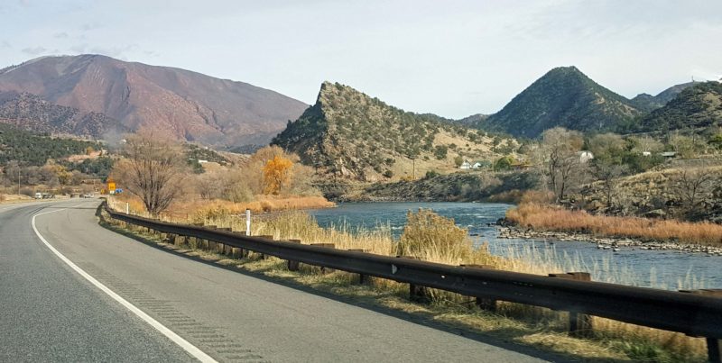
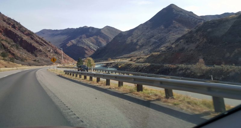
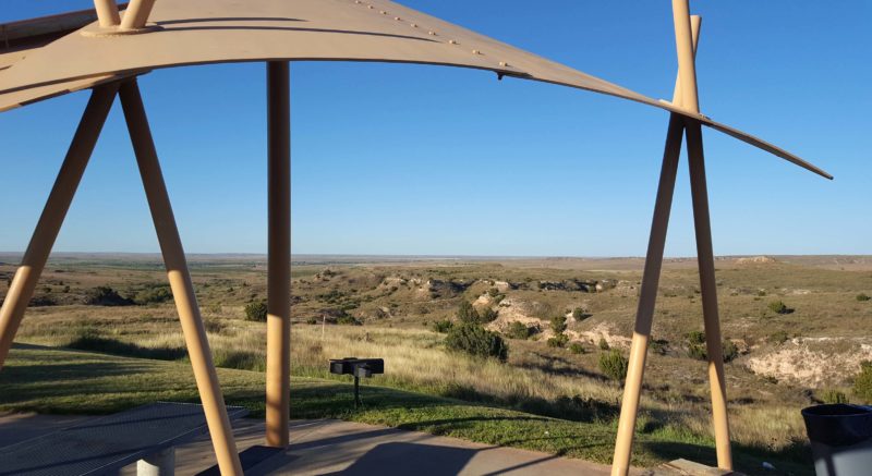
It’s Ted’s and my second day of Utah’s “best week of our lives,” and the catch-phrase is living up to its name. We had a beautiful day of scenery from start to finish. We began on Utah’s Highway 12, an All-American Road, that took us to Bryce Canyon National Park and to Grand Staircase/Escalante National Monument.
Highway 12, an All-American Road
To be recognized by the USDOT as a National Scenic Byway, a road must have one or more of six intrinsic significant qualities: archeological, cultural, historic, natural, recreational, and/or scenic. To be designated as an All-American Road, the road must go through a nomination/ approval process and must already be recognized as a state scenic byway. In addition, it must possess at least two of the significant qualities listed; it must have features that do not exist elsewhere in the U.S.; and its features and qualities must be important enough to be a tourist destination in itself (i.e., driving the road must be the goal, like the Pacific Coast Highway).
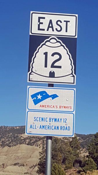
Highway 12 begins just west of Bryce Canyon NP and ends at Torrey, UT, 40 miles east of Grand Staircase/Escalante National Monument.
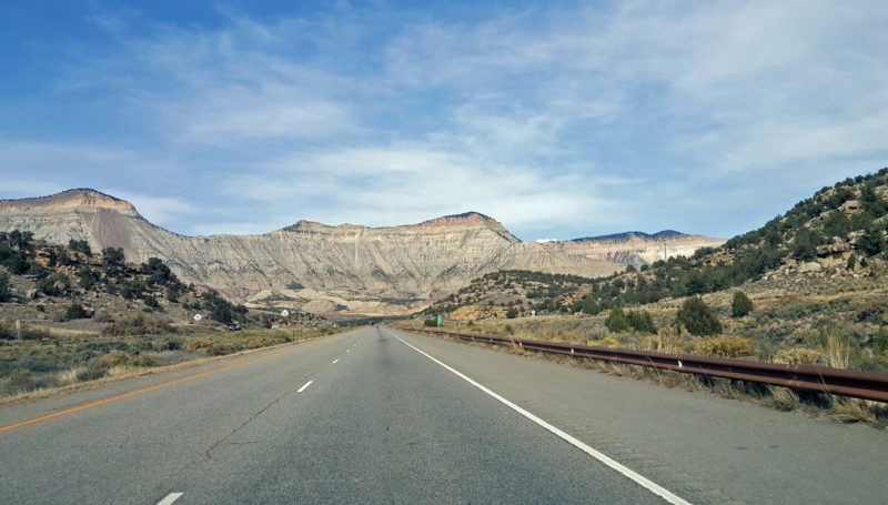
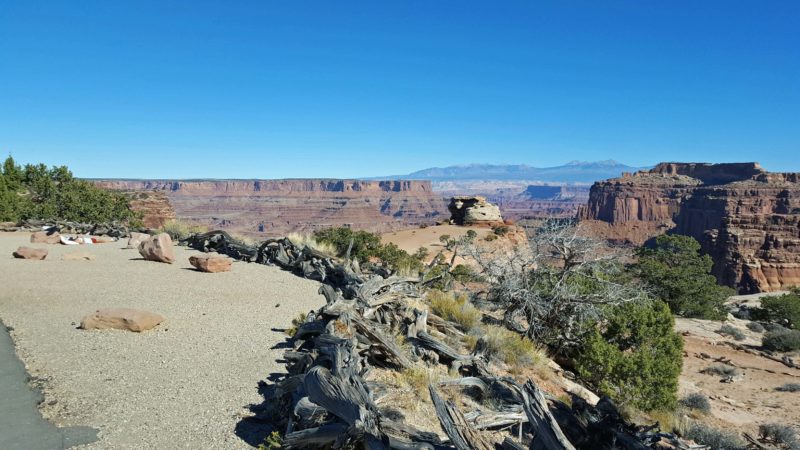
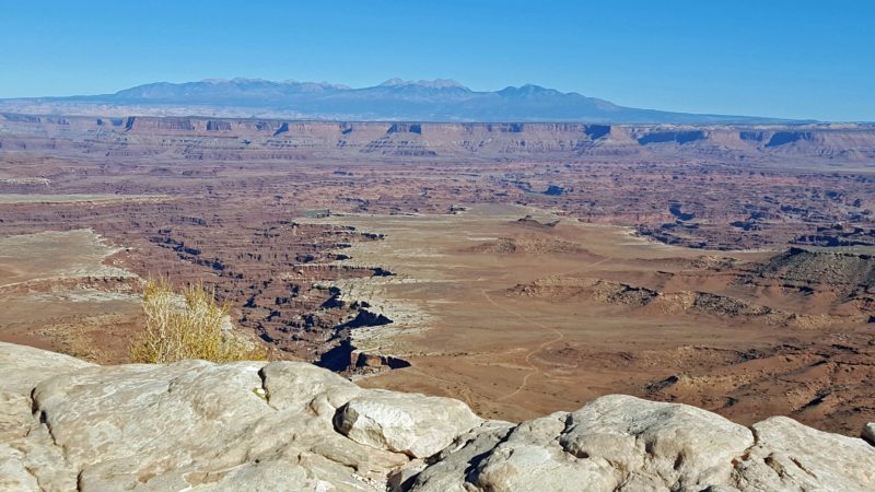
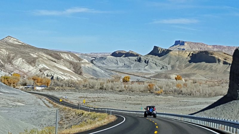
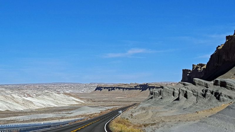
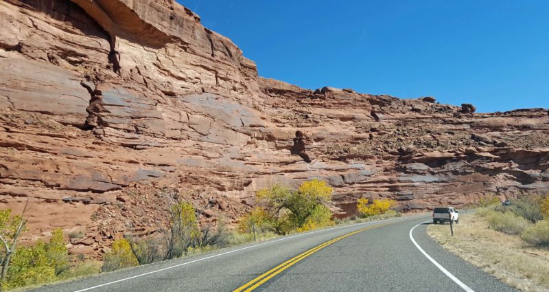
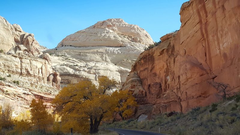
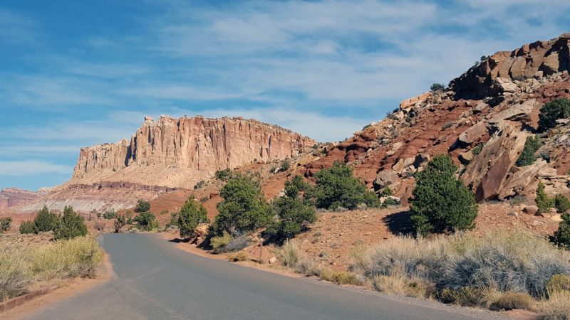
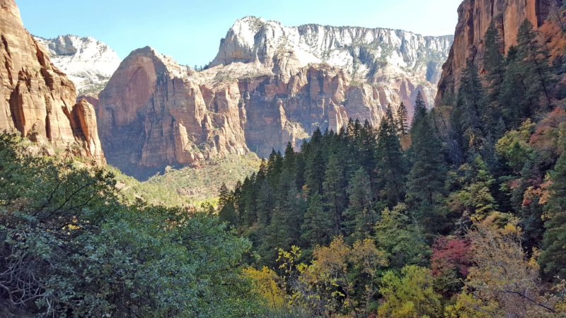
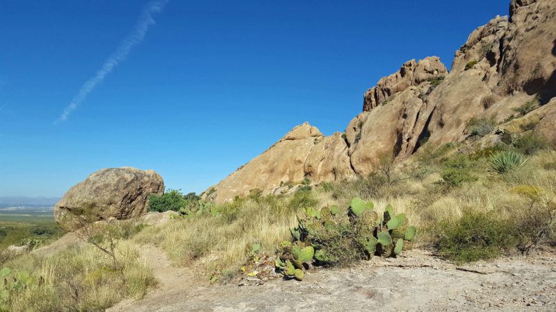
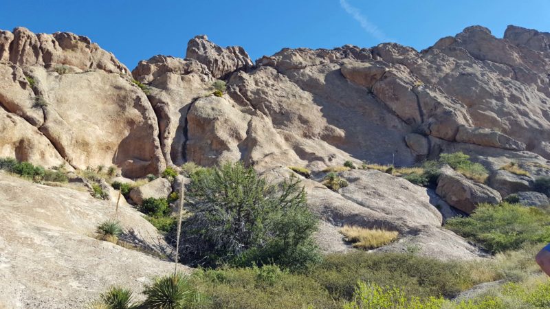
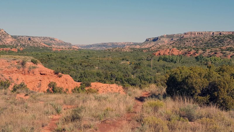
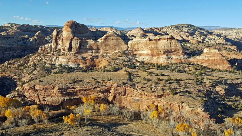
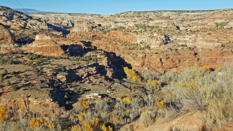
Utah State Highway 12 meets the All-American Road qualifications in every possible way. Every time we went around a curve, there was another photo-worthy view. Luckily, there’s not room to pull off the road except in designated areas, or we’d probably still be driving it and remarking on its scenery. The road goes up and down and curves around mountains, canyons, and plateaus. Curves are plentiful and speed limits are necessarily low, so it’s not a quick drive, but who would want to hurry past this kind of scenery? We don’t think there was a straightaway longer than one-half mile the entire 123-mile length of the highway. We highly recommend this road as a tourist destination. Here are a select few of the beautiful views on Highway 12.
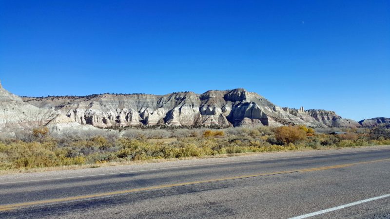
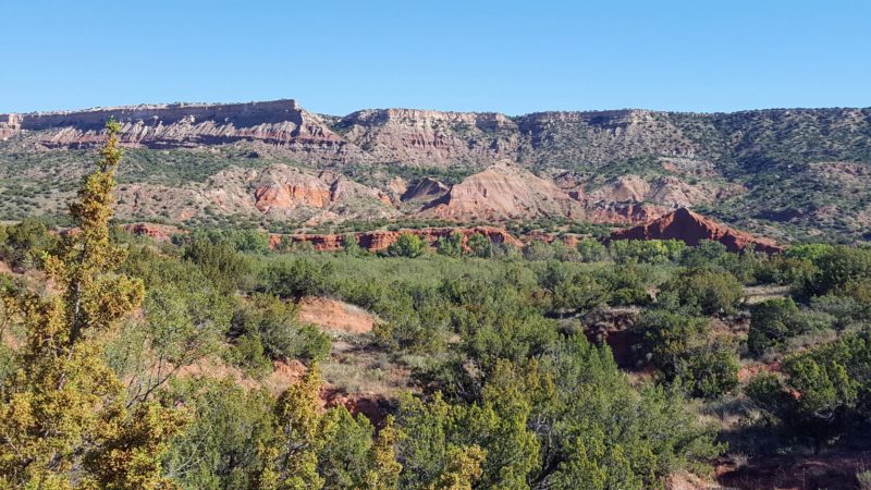
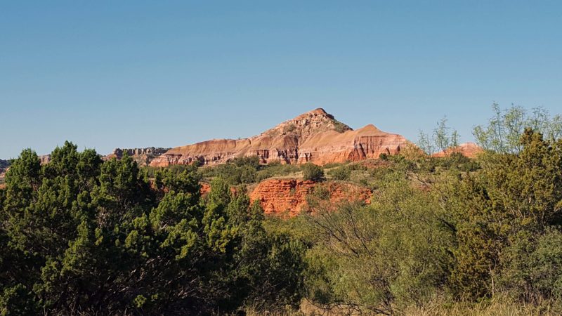
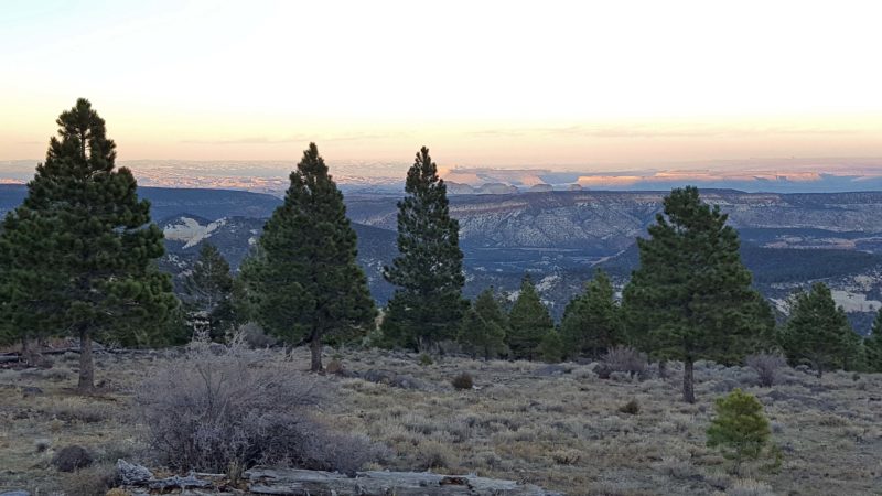
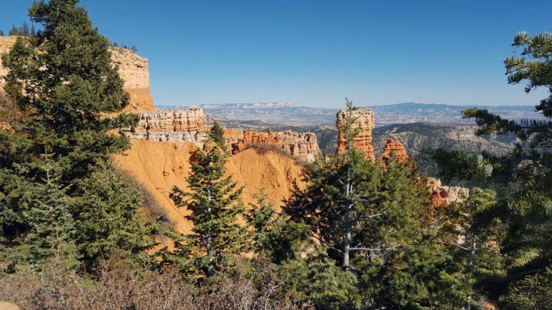
The scenery at the west end of Hwy. 12 looks similar to Bryce Canyon, with red hoodoos. It keeps changing along the road. This is just east of Bryce Canyon.
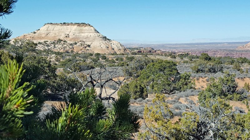
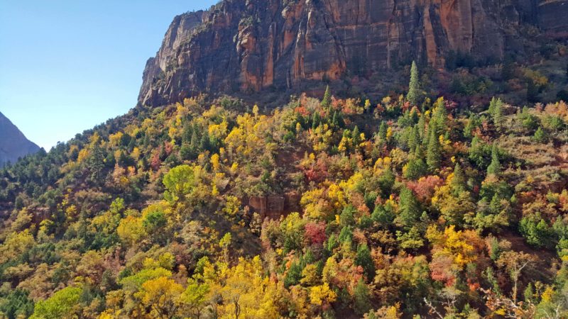
Even farther north and east, the mountains become higher and denser.
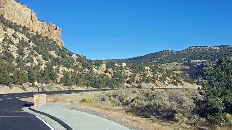
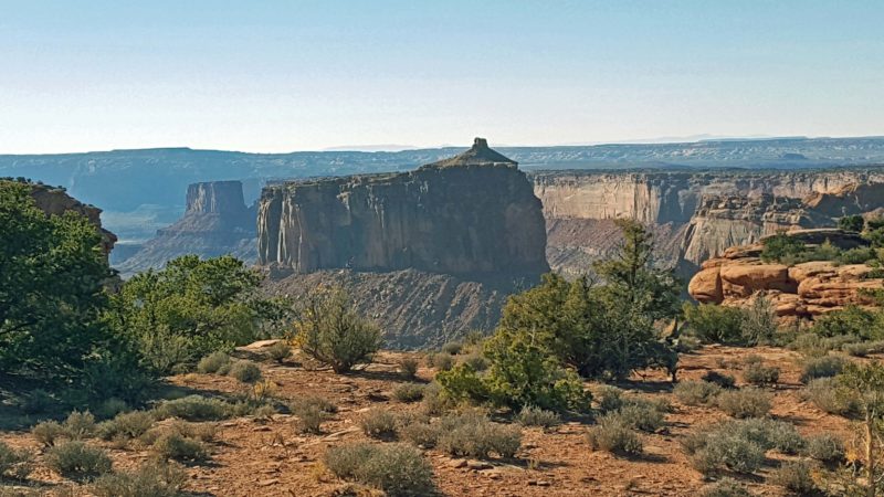
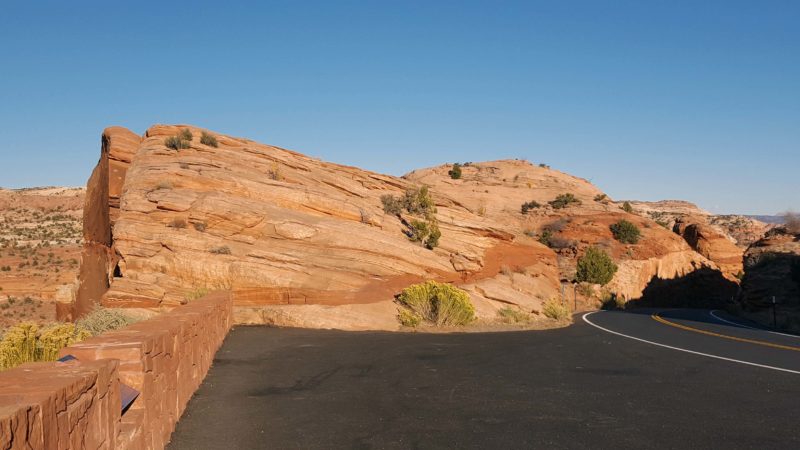
Another beautiful curve.
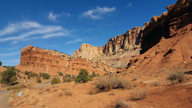
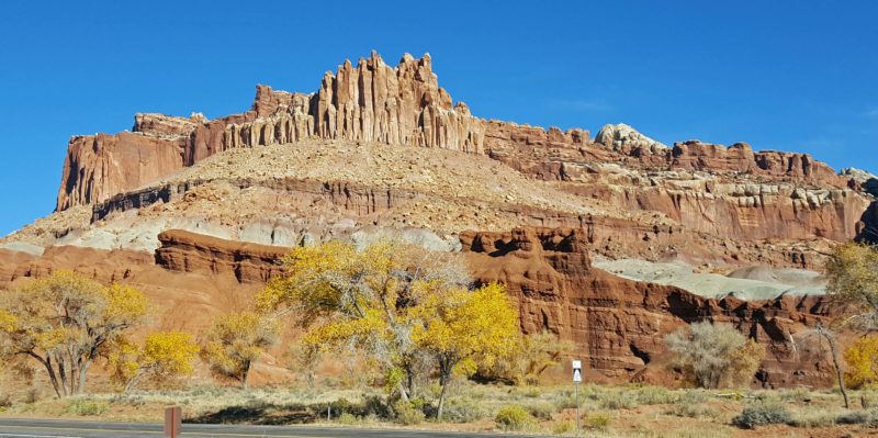
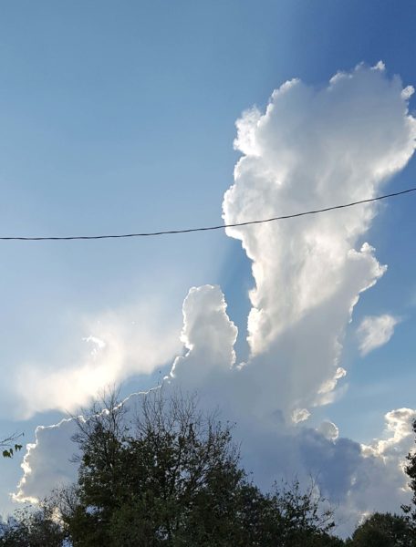
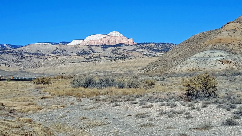
Red rocks everywhere. Gorgeous in the sunlight and even better at sunset.
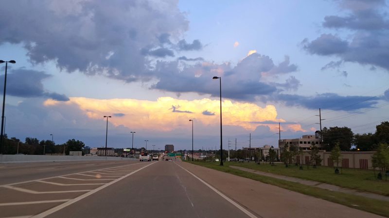
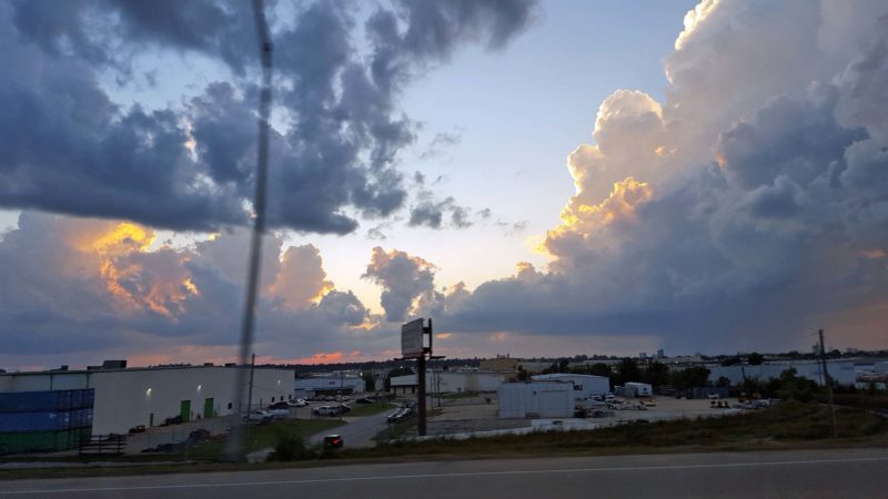
We came to the end of Highway 12 at sunset. Still beautiful.
Bryce Canyon National Park
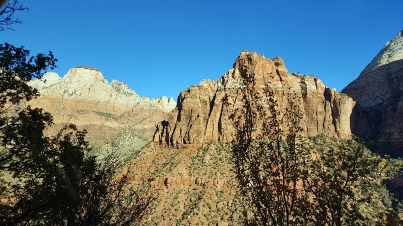
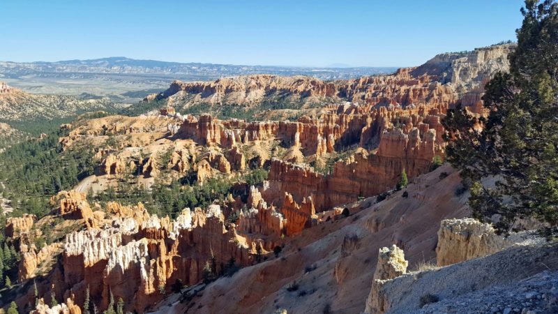
The last time Ted and I visited Bryce Canyon (October, early 2000s), it was cold and had nine inches of snow. Only a few miles of the park road were plowed and open. We have stunning pictures of the red rocks of Bryce Canyon sprinkled with evergreen trees and topped with white snow. Today it was sunny, clear, and in the 50s, so we took some different, but still stunning, pictures of Bryce Canyon. This time, we drove the roads we were unable to access last time and we thought these views were even more beautiful.
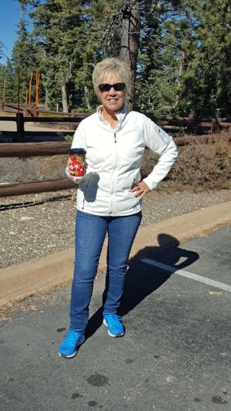
The end of the road in Bryce Canyon is at 9,600 feet elevation, so I started the day with a cup of hot chocolate. It came in a Christmas-themed cup.
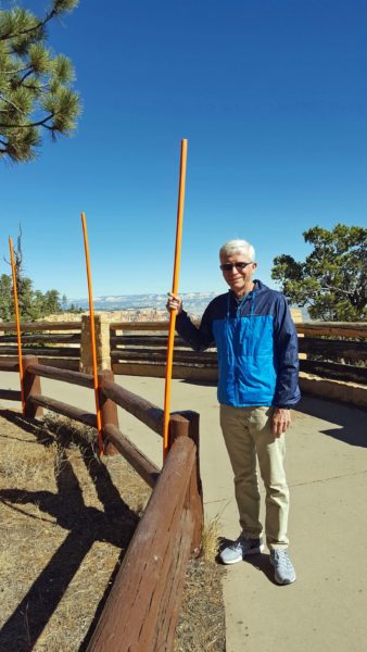
Snow poles were placed along the road and in the parking lots. Judging by how tall they are, Bryce must get some incredible snowfalls.
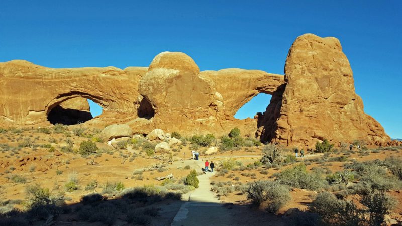
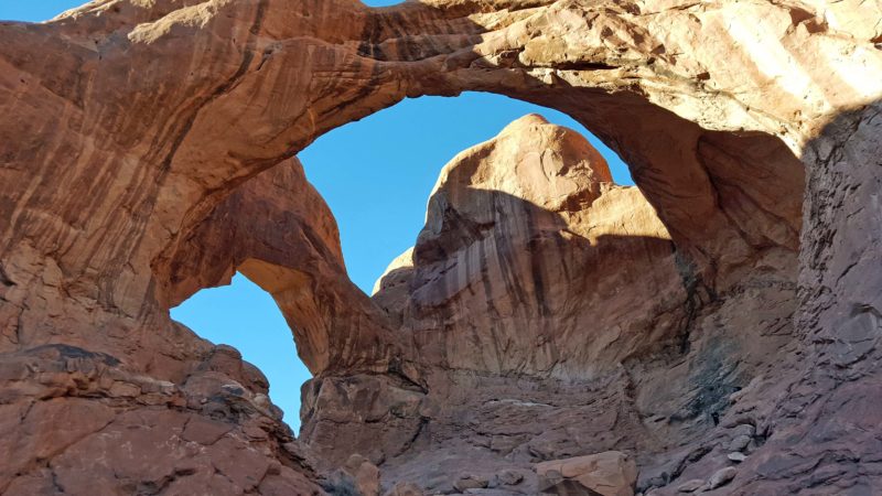
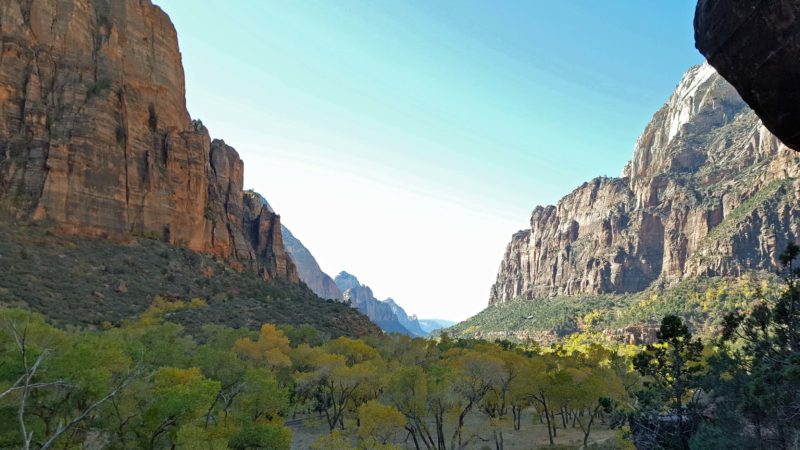
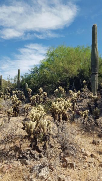
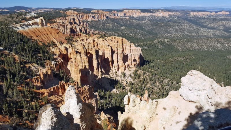
The tall, thin, spire-shaped rocks that rise from the dry basin of Bryce Canyon are called hoodoos. They are also referred to as tent rocks, fairy chimneys, and/or earth pyramids.
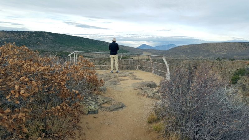
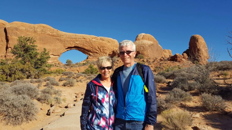
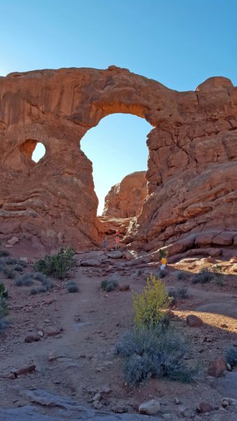
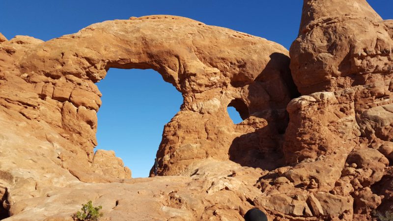
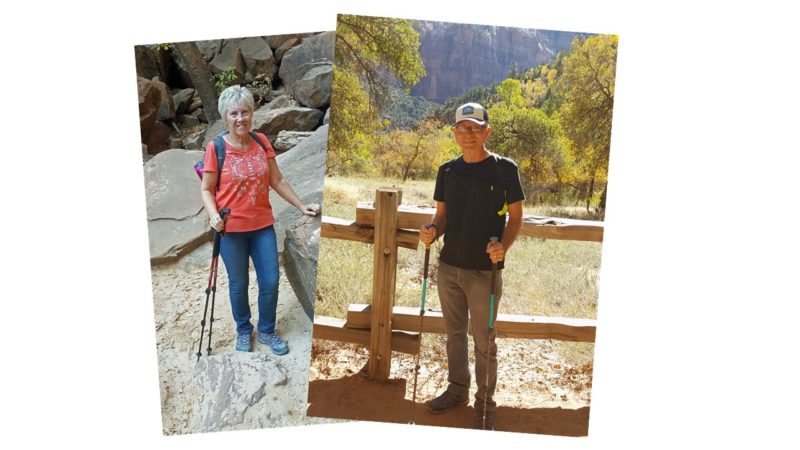
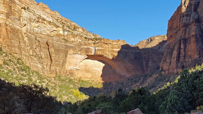
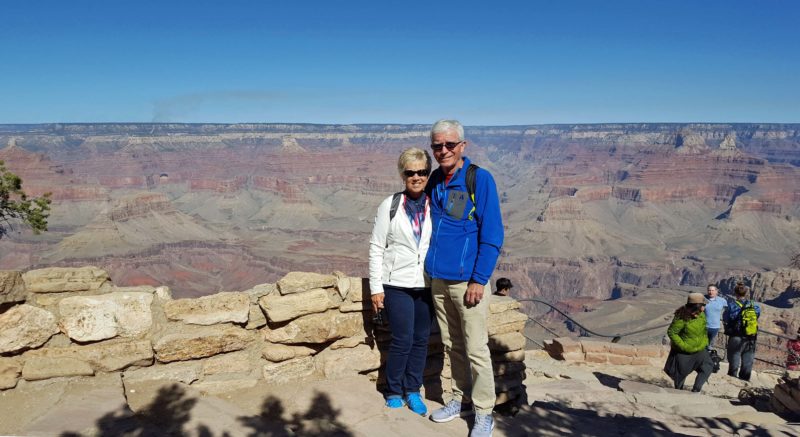
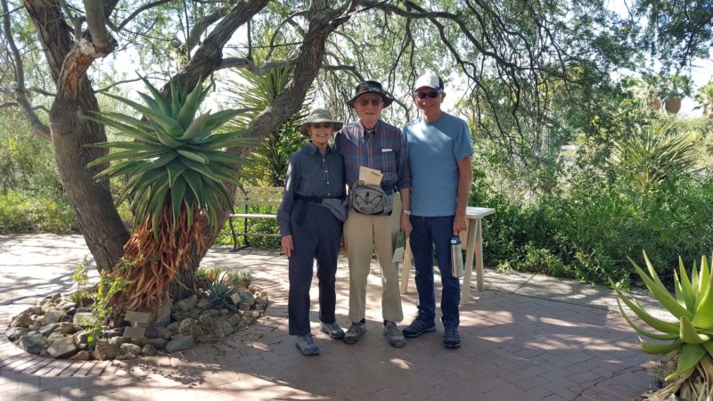
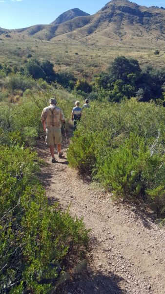
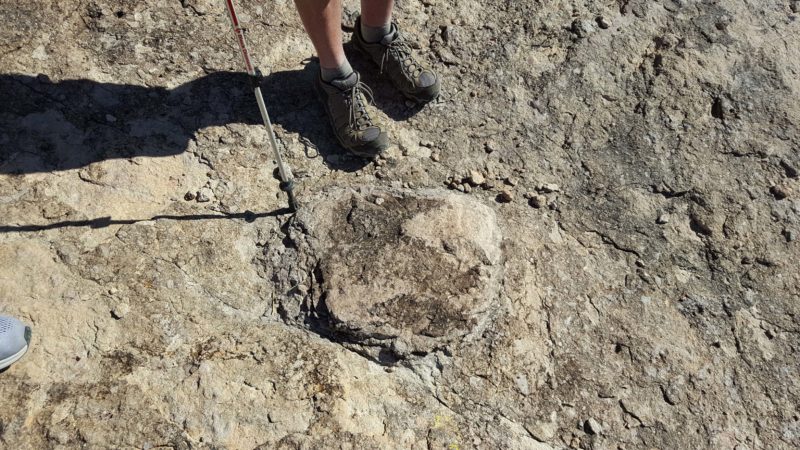
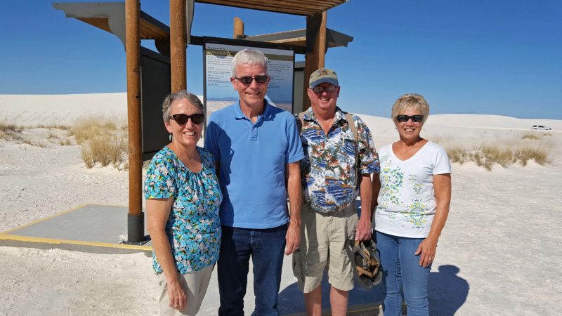
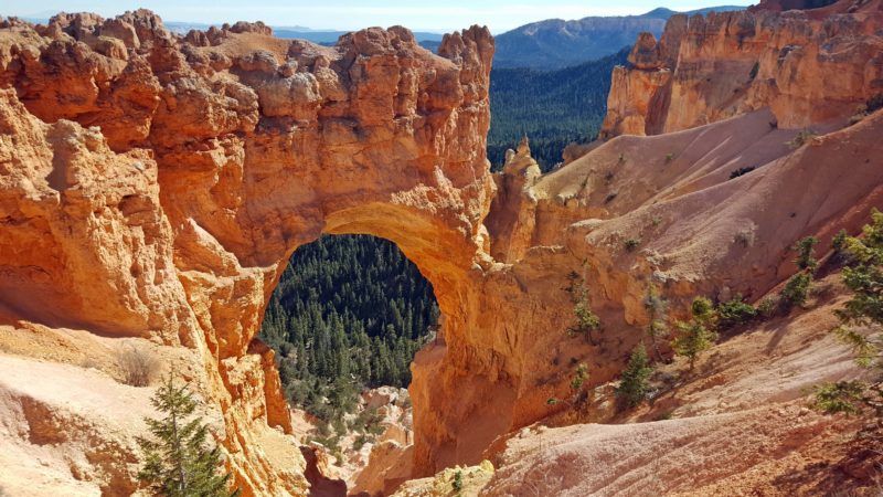
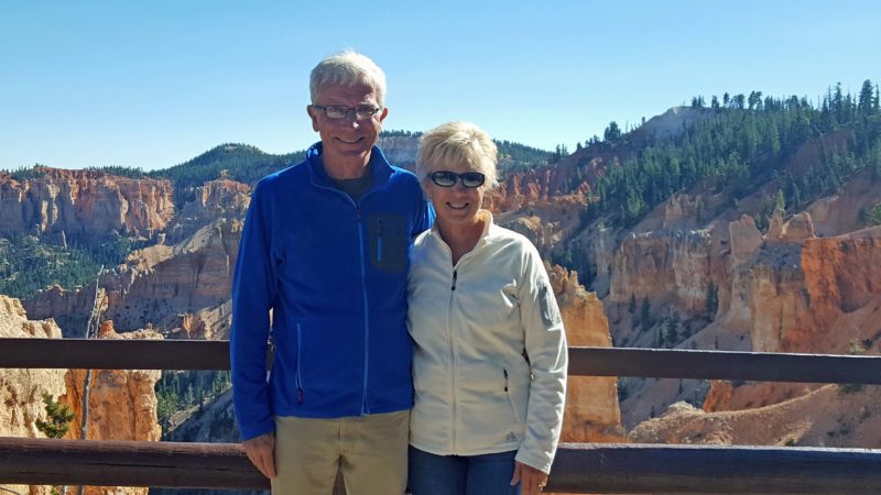
Ted and I voted this to be the most spectacular view of Bryce. It’s called “Natural Bridge,” but is really an arch. The people in the second picture below are also spectacular. Or at least the view behind them is.
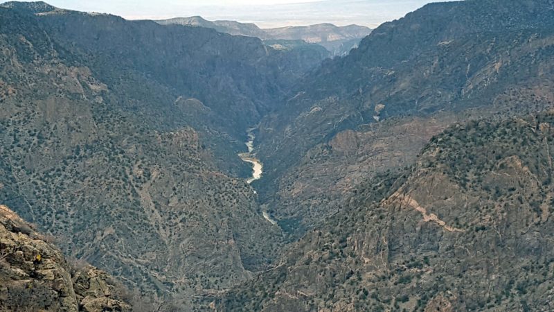
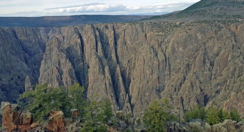
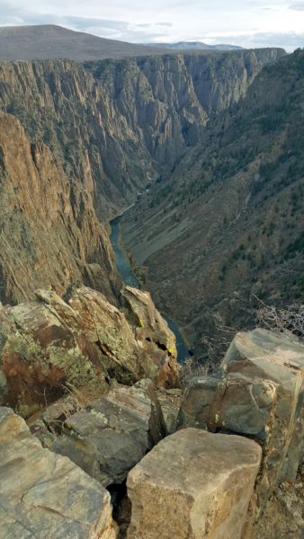
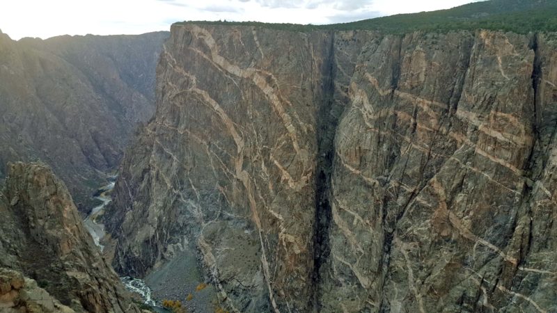
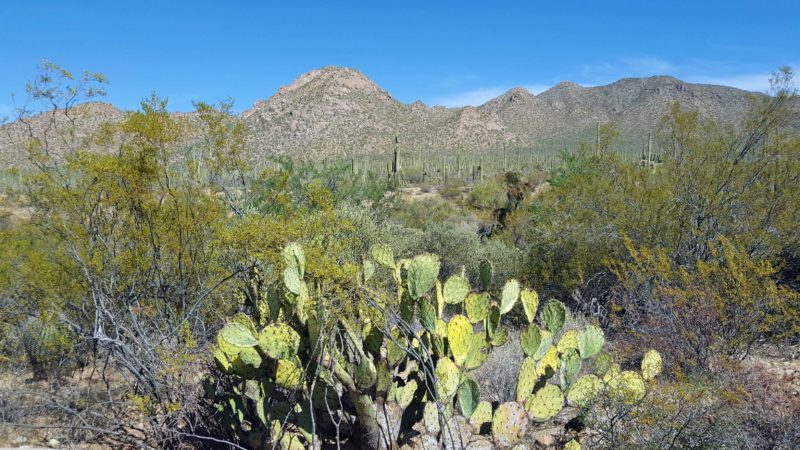
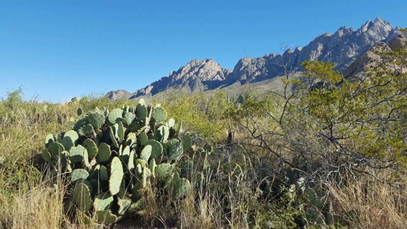
Grand Staircase/Escalante National Monument
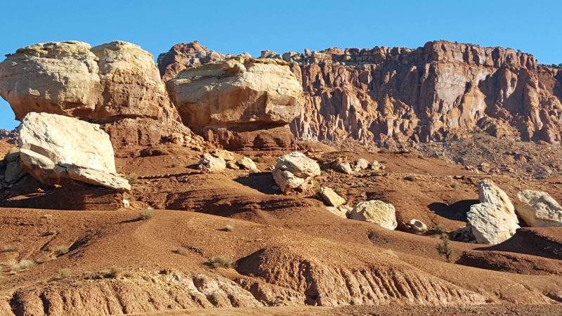
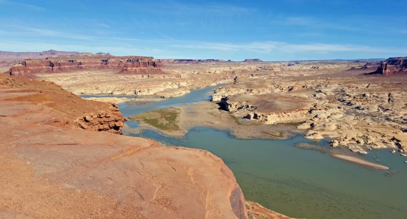
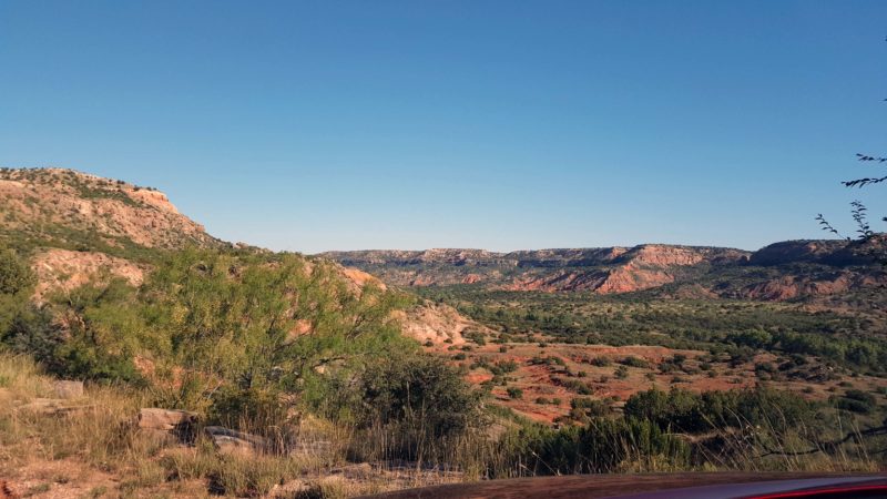
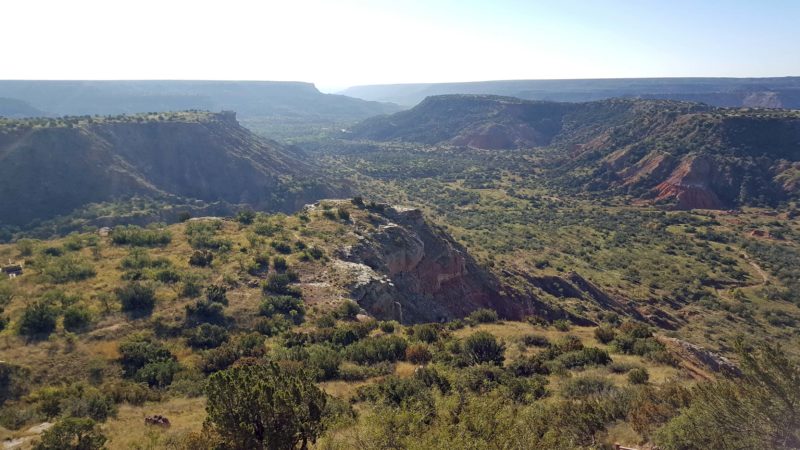
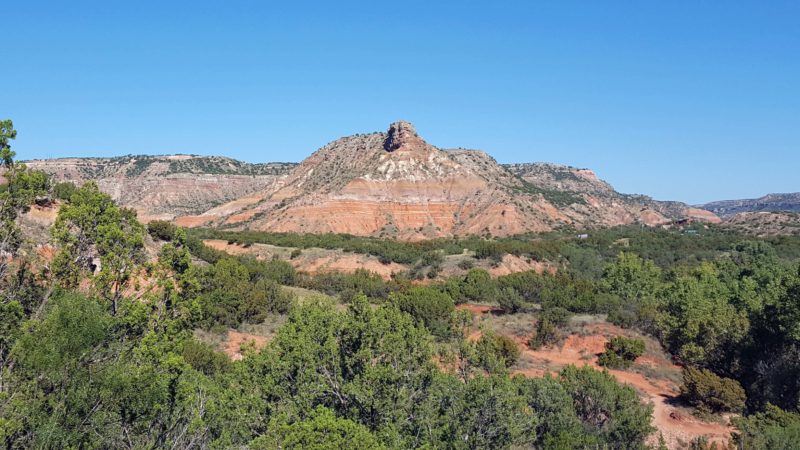
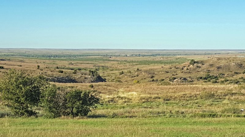
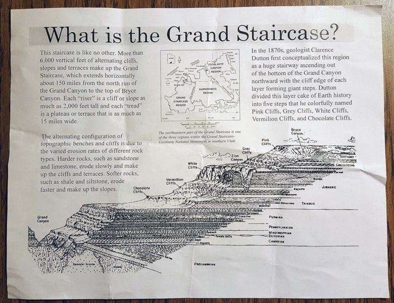
Grand Staircase is not actually a staircase or anything that looks like one. It’s a term used to describe the cliffs, slopes and terraces extending 150 miles northward, from the Grand Canyon to the top of Bryce Canyon–a rise in elevation of more than 6,000 feet. The topographic layers have different colors and, as they erode, these layers and colors appear in the canyons.
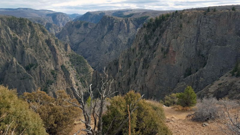
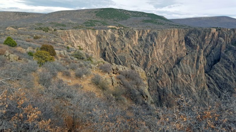
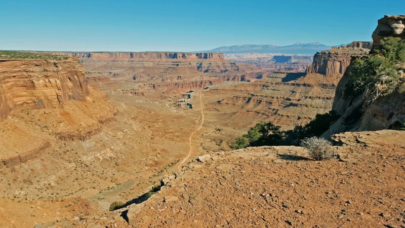
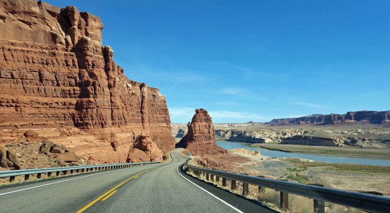
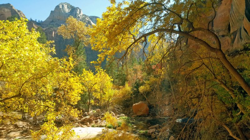
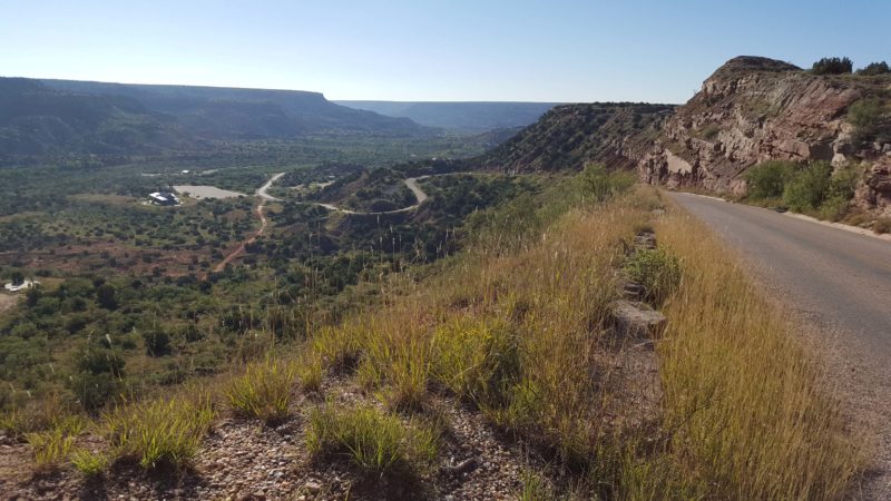
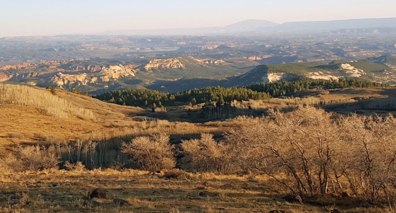
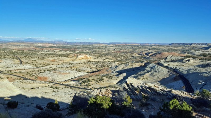
Highway 12 runs through Escalante National Monument. Ted and I had low expectations of Escalante, NM because it is widely known for its huge plateau (1.9 million acres in the park) and for its dinosaur fossils. What a wonderful surprise to discover that Escalante is the most beautiful 28-mile stretch of Highway 12. The road in the first picture below is Highway 12. On the right (where we were headed), it’s high; then it winds and drops through the center and left of the picture. (Note: That’s one of the few straight portions of Highway 12.)
Tomorrow: the third day of the best week of our lives.