North and South Dakota are flat, flat, flat. Montana is not. What a relief to see some bumps on the landscape! Even better, it’s not windy.
From Glendive, MT, we followed the Yellowstone River on I-94, pausing at a rest stop with a beautiful view. While we were enjoying the view and our last Dakota scotcheroo, two bald eagles swooped down to within 20 feet of our heads, circling in their search for food. Not finding anything tasty near us, they glided farther away, where they continued hunting and were joined by a third bald eagle. It happened too fast to take a picture, but they were close enough that I could see their eyes.
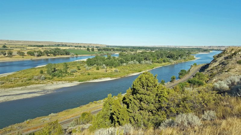
The Yellowstone River, flowing past the rest stop.
Our next destination was Pompey’s Pillar, a National Monument in Nibbe, MT, east of Billings. Lewis and Clark were here, too–or at least Clark was. On their return trip, they split into two parties and took separate routes to add to their knowledge of the territory and to be certain there was not an easier way to cross the continent to the Pacific. Lewis retraced the northern route on the Missouri River and Clark went south along the Yellowstone River. Clark’s party stopped at Pompey’s Pillar on July 25, 1806. According to Clark’s journal, he named the formation after Sakakawea’s child whom Clark had nicknamed “Pompy,” meaning “Little Chief.”
The sandstone pillar, on the bank of the Yellowstone River, is 150 feet tall and approximately an acre in area at its base. There are Native American petroglyphs carved into the rock, as well as signatures of others who stopped here.
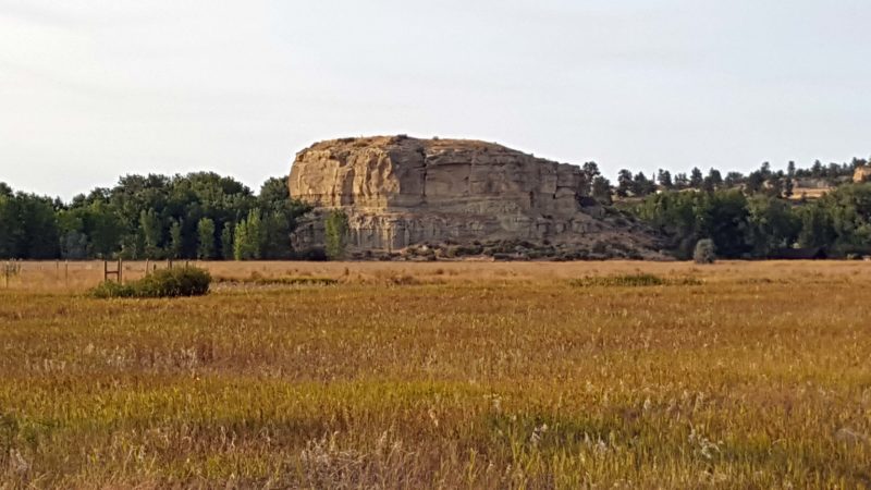
Pompey’s Pillar as seen from the road to the exhibit. The Yellowstone River is behind it. It’s certainly an easy landmark to spot if you’re traveling by river. There is a stairway on the river side to climb to the top of the pillar.
We spent so much time at Makoshika that we arrived too late to pay the $7 per car entry fee at Pompey’s Pillar. Because the park is open until sunset, a walk-through gate beside the main entrance was still open. It looked like a mile from the gate to the monument, so we started walking. On our way, four cars passed us, leaving the park. Each car was driven by a park ranger in uniform; each ranger waved at us on his way home.
The exhibit features walkways representing the Missouri and Yellowstone Rivers with “islands” of plantings along the way.
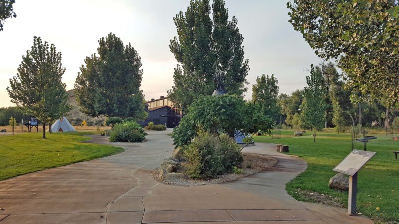
The Missouri River is flowing in the right center of the picture (it looks like a path winding through the trees). It joins the Yellowstone River (left side, behind the tipi) behind the island of trees in the center foreground and they flow together as the Missouri River where I’m standing to take this picture
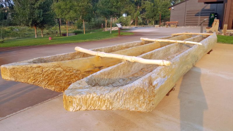
This is a replica of a double canoe, similar to those Lewis and Clark used on their expedition.
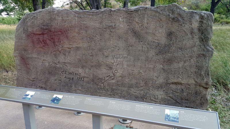
Clark’s signature and the date he arrived are in the center of this piece of the pillar. Look for the “W.” He signed as “W.Clark” and included July 25, 1806 beneath his name.
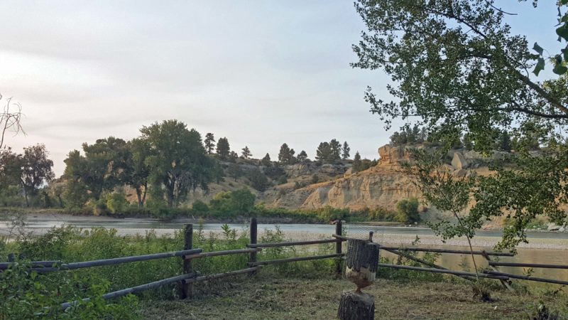
The Yellowstone River flowing past Pompey’s Pillar.
After dinner, we stopped to fill the gas tank and saw a row of Tesla chargers.
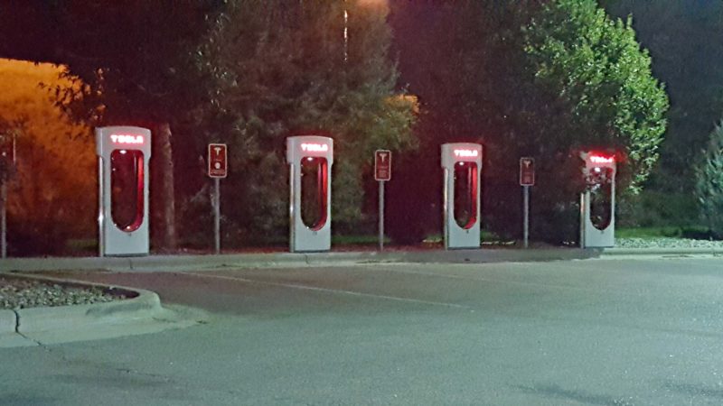
Come here when your car needs an energy boost.