The airport
Because of our flight delay to Honolulu, Ted and I had time to explore the DFW terminal. We found some interesting things.
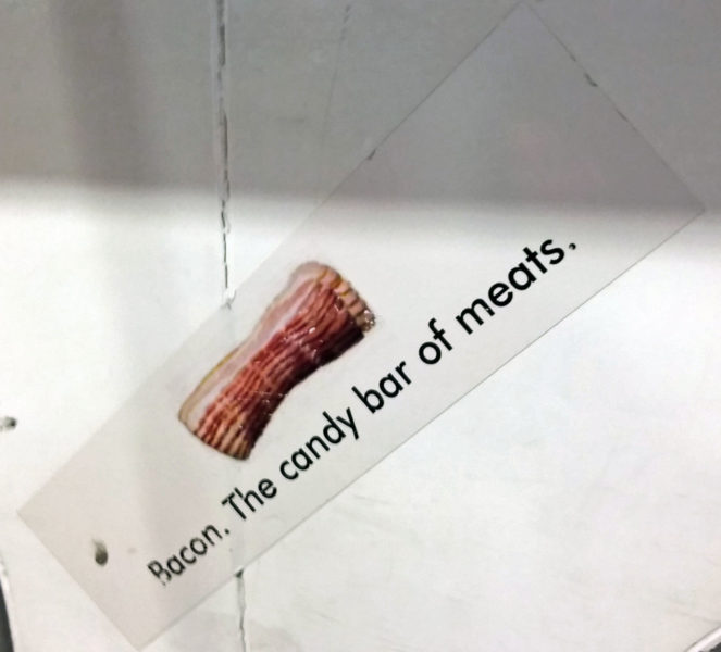
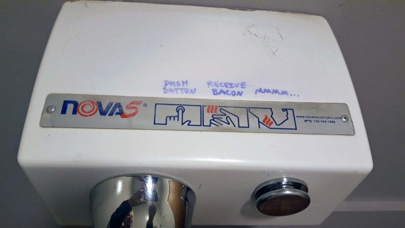
Hungry? Have some bacon.
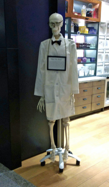
This guy stood at the door of a store that sold “dermatologist approved” cosmetics. If this is the dermatologist who approved them, choose a different brand.
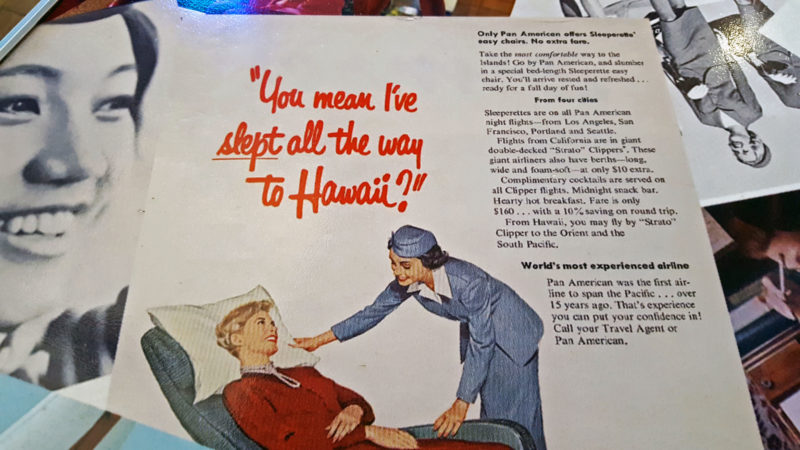
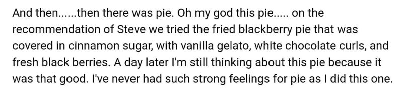
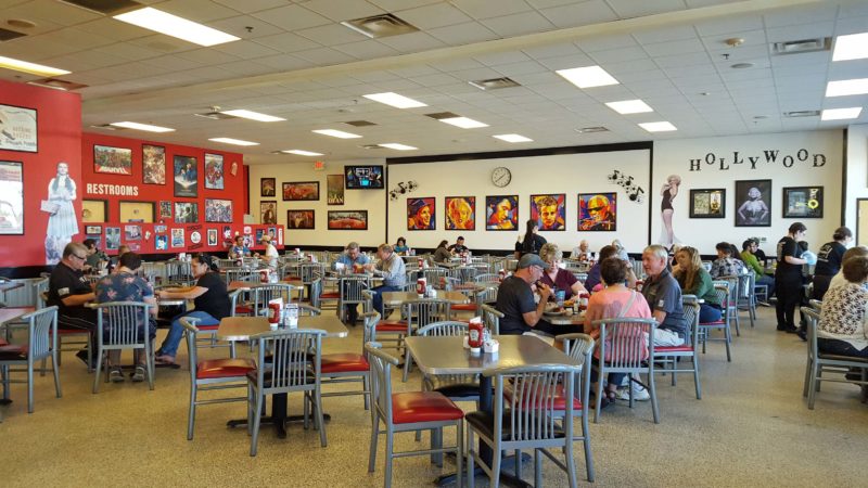
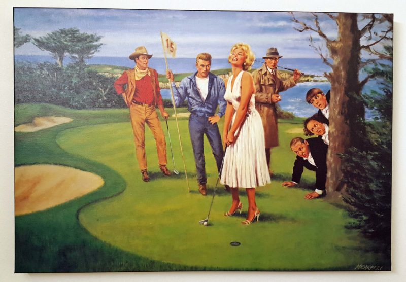
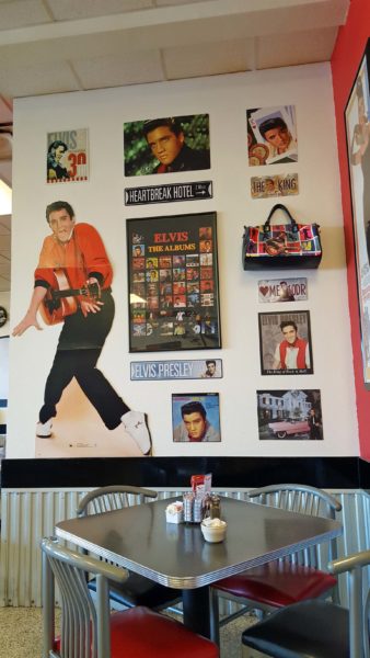
We ate lunch at a 60s retro restaurant. Our tabletop advertised Pan Am’s new Strato Clipper planes and bed-length “Sleeperette” easy chairs that allowed all passengers to recline and sleep on long night flights–at no additional charge. For an extra $10, you could have a sleeping berth. There were also complimentary cocktails, a midnight snack bar, and a “hearty hot breakfast” onboard. Those were the days!
The flight
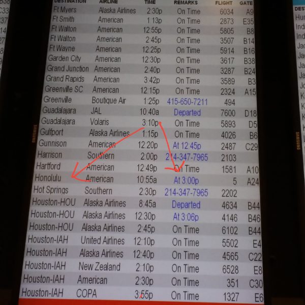
The initial information about our flight delay to Honolulu was sketchy. After we finally boarded our plane at 4:00 pm–five hours later than scheduled–the pilot gave us a more detailed version over the intercom. Because of the bomb cyclone on the East Coast, there was only one Boeing 777 plane at DFW–and that plane had a major maintenance problem that could not be fixed in a single day. All the other available 777s were delayed at East Coast airports. As a result, we had to wait until the flight from Miami arrived in Dallas. Not only did we have to wait until the plane was cleaned after its flight to Dallas, but because we were going to fly over the Pacific, the plane needed an additional safety inspection. It’s always something, isn’t it? At least we had a safe plane, but that’s about all I can say that was good about the flight.
[Whining section here] I’m pretty sure American Airlines squeezes in several additional rows of seats on their 777s, because I barely had room for my legs between my seat cushion and the seat back ahead of me. The section of the main cabin in which Ted and I were seated was very cold–so cold that, every time a flight attendant walked past our seats, the attendant said “Whew! It’s cold over here!” and kept on walking, presumably to a warmer section of the plane. When a passenger asked if the temperature could be raised, the flight attendant said it would warm up in a couple hours. Gee, thanks (and no, it didn’t). We needed our jackets and the airline blankets to prevent frostbite and I was still shivering. Eventually, it was mealtime and we were offered a “snack meal”–the soggiest, coldest wrap I’ve ever seen. The dough on my wrap was disintegrating because it was so wet! It came with a cookie and a cold beverage. We were not even offered additional food for purchase (not that it would have been any tastier). This was our sustenance while we were in the air for 8.5 hours. Compare this to our overseas experience on KLM where we had lots of leg room, were served a choice of three delicious hot meals and an additional large snack, were offered three beverage runs that included free wine, and enjoyed it all in a comfortable cabin. Ted and I decided we will never never never fly American again, except to use up the miles we’ve accrued on some short flights. [End of whining section]
I nearly forgot to mention that Ted and I had a comparatively good experience on the flight. About three hours into the flight, the flight crew issued an intercom request for anyone with “medical training” to please report to a crew member. A few minutes later, the request was changed to “We need someone with an M.D. or an O.D.” Someone on the flight was feeling worse than cold, cramped and hungry.
The happy ending
It was 75 degrees when we got off the plane in Hawai’i. We felt like zombies after our 3-4 hours of sleep and the long, uncomfortable day of travel, so we checked in at the resort, ordered a meal at a resort restaurant (it was only 8:30 in Hawai’i), and went to bed. Tomorrow will be a better day.