One of my favorite things about cruising is that travel between destinations happens overnight while I’m sleeping. While the captain navigates, Ted and I have dinner and enjoy ourselves until bedtime. There’s no checking into a motel or unpacking our suitcases for an overnight stay. In the morning, we open our stateroom drapes and see a new sight. It’s always a happy surprise because it’s always a new place that’s unfamiliar to us.
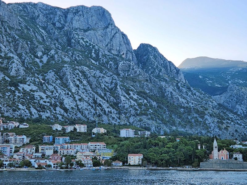
Today, we woke up in Kotor, Montenegro. The city is located at the tip of a 17-mile-long inlet that extends from Kotor to the Adriatic Sea. Below the water of the inlet is a submerged river canyon often called Europe’s southernmost fjord, and above the inlet, towering cliffs soar upward. Imagine waking up, opening the drapes, and seeing this outside our stateroom window. You can see the sunlight appearing on the mountaintop in the right center of the photo below, but this side of the near mountain and our ship were still in shadow.
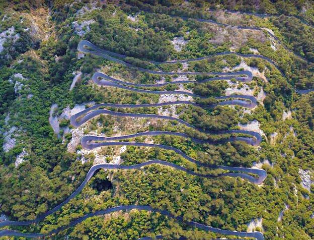
Today’s onshore excursion was a bus ride from Kotor to Cetinje by way of a serpentine road up Lovćen Mountain, a drive described as one of the most famous and most beautiful in the world. I downloaded this aerial view picture of the road from the internet because there’s no better way to describe the path we took upward. The serpentine part of the road is just over 5 miles long and has an average 5 percent grade with 30 hairpin turns for an elevation gain of 1,388 feet.
Here are two more internet downloads. This photo shows what the hairpin curves looked like.
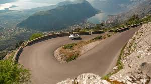
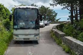
The photo below shows how a bus fits on the road. The curves were tight, and the bus needed the full width of the curves to make the 180-degree turns. I think there must have been sensors and signals along the road to let drivers in both directions know if a vehicle was approaching the blind curves so the drivers could stop to allow the right-of-way to the oncoming vehicle at the turn. As we made our way upward, I saw a bicyclist pedaling uphill. Bravo!
The serpentine road, originally a caravan trail, goes through the Lovćen National Park, part of the Dinara Alps. Along the way, there was a zipline with a lot of empty space beneath it as it stretched from the top of one ridge to the top of another in the national park.
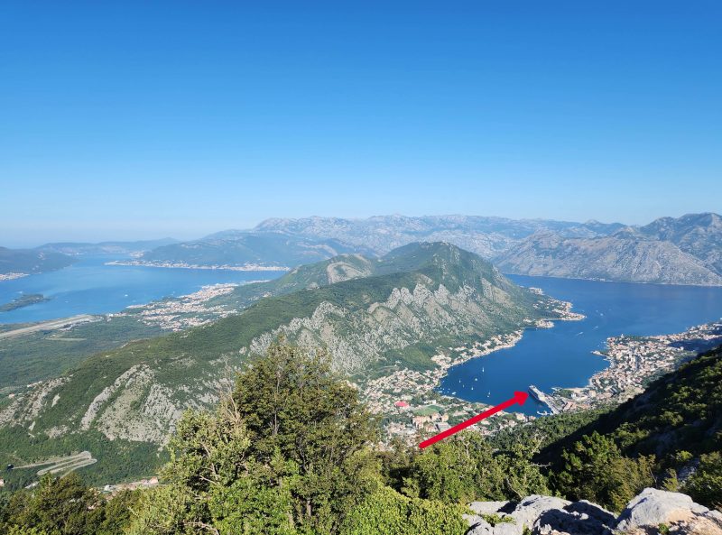
At the 25th turn of the road, there is an overlook point with beautiful views. In the photo below, the Kotor inlet and the city of Kotor are on the right side of the ridge and the Adriatic Sea is on the left. The arrow in the photo indicates our ship. Our route took us gradually upward from the ship clockwise along the inlet to about halfway along the ridge, then back to Lovćen Mountain and seriously upward.
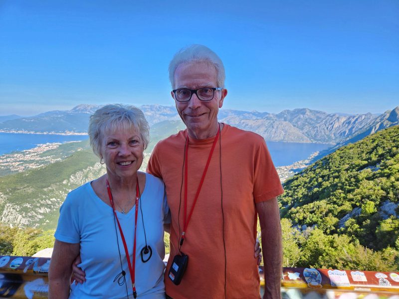
Here’s another beautiful view at the 25th turn.
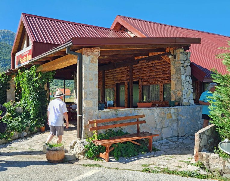
It took us 1.5 hours to reach the 30th turn at the summit of Lovćen Mountain. We stopped at the summit restaurant (not “a” restaurant, but “the” restaurant) in Njegši, a tiny mountain village, for an early lunch (10:30 a.m.). The restaurant offered us the locally produced specialties of bread, ham, cheese, and wine. It was delicious!
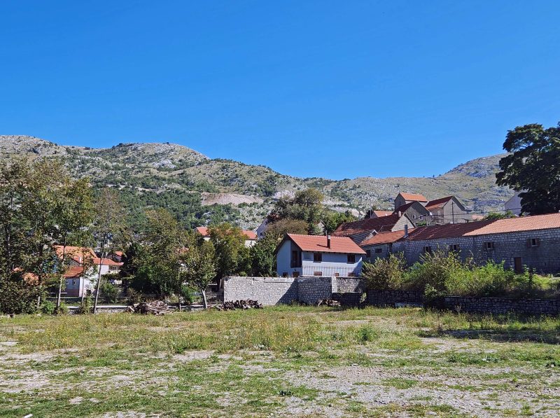
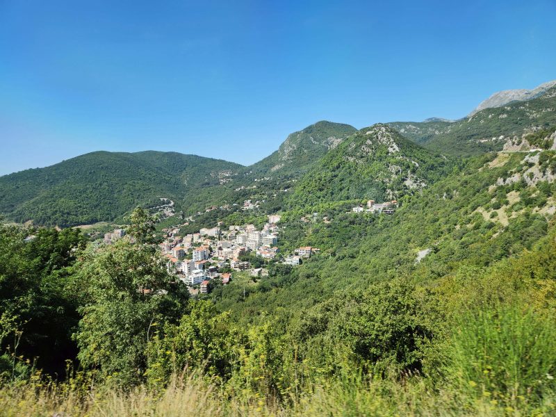
The village beside the restaurant is even smaller than the little town in which I grew up. My hometown had about 200 residents; Njegši has a population of 35.
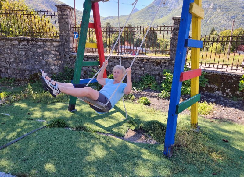
There was time to look around the area after lunch, and I found a deserted playground with a swing. I love to swing, and it must have shown because, while I was deciding whether I should do it or not, a fellow traveler nearby said, “Oh, go on. You know you want to.” So I did.
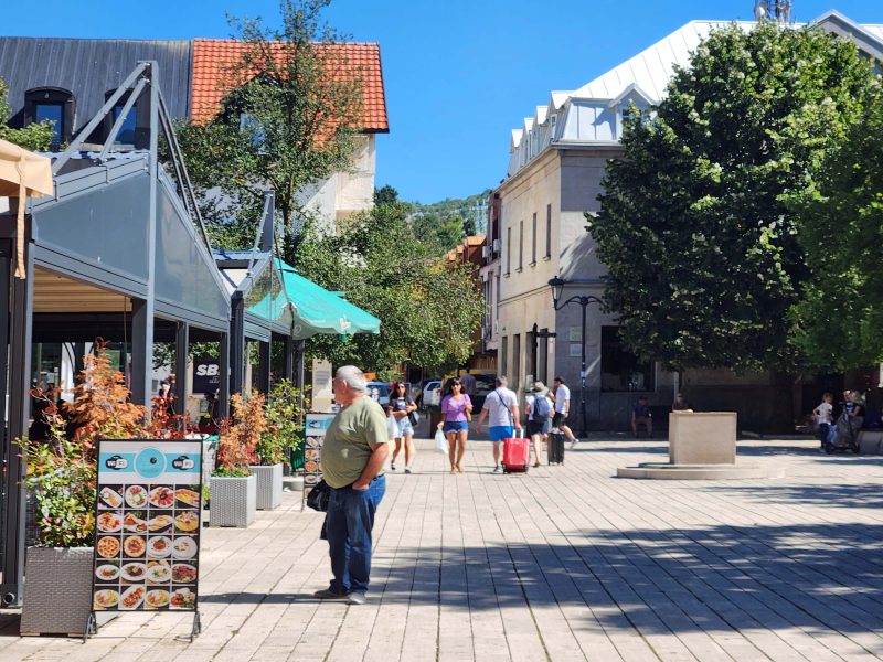
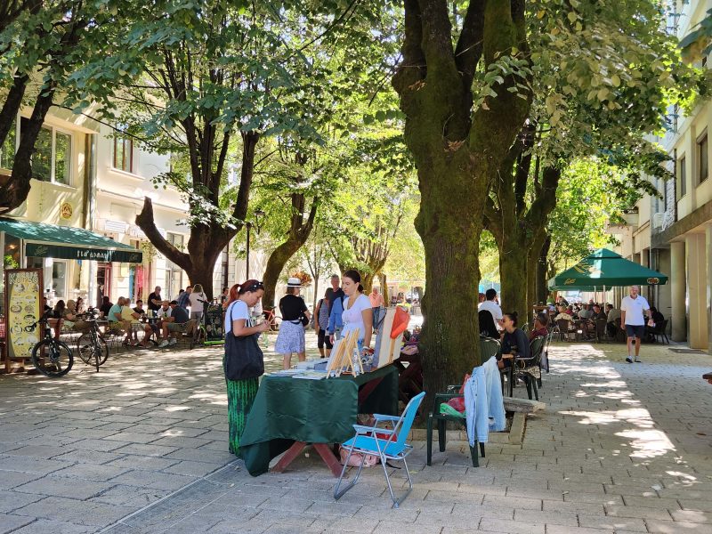
Our next stop was the beautiful Old Royal Capital of Cetinje at the other end of the Kotor-Cetinje serpentine road. In Cetinje, we visited King Nikola’s Museum. King Nikola introduced sweeping reforms to Montenegro in the early 20th century, but I don’t remember what any of them were. (I’m sure Google can tell you if you care.) Centinje, however, was a pretty little town where Ted and I were content to slowly amble around the streets, looking at the pretty village and stopping for ice cream cones. We had that early 10:30 lunch, you know.
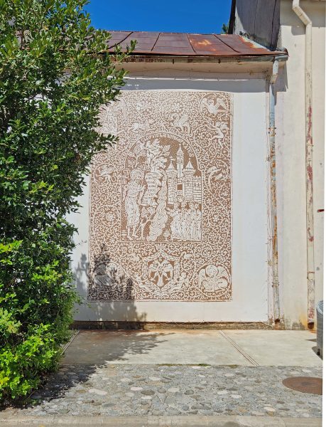
I wish I knew more about this wall decoration. I just took the picture because it was so pretty.
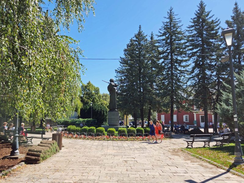
The statue in the center of this photo is dedicated to Ivan Crnojevic, a medieval ruler of Zeta from 1465-1490. Zeta encompassed parts of present-day northern Albania and Montenegro, and Cetinje was the administrative seat of Zeta.
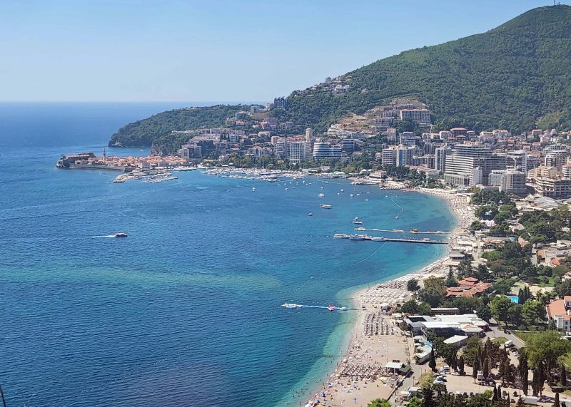
We needed to return to our ship, but we did not re-trace our route down the serpentine road. Instead, we drove in a loop, passing beautiful mountain scenery and then driving through the coastal city of Budva, the party capital of Montenegro. It’s too bad we didn’t stop to party.
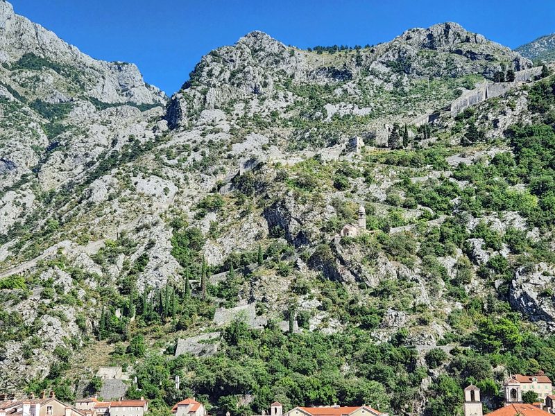
Back in Kotor, we had time to visit the Old City. Kotor was a well-fortified city, protected by ramparts, towers, citadels, gates, bastions, forts, cisterns, a castle, and ancillary buildings and structures. Whew! You can see the city wall in the photo below. It’s in the upper right quarter of the picture, and you can follow its zigzag path down to the Old City.
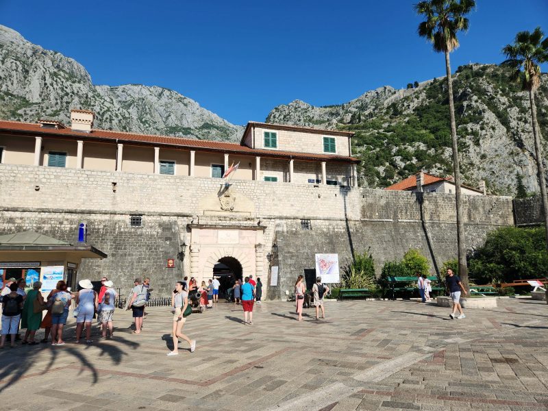
Here’s a picture of the main entrance to the Old City. The Old City itself looks like a fort, doesn’t it?
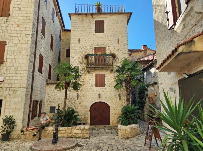
These houses are called “fortified houses,” but I’m not sure what their specific fortifications were.
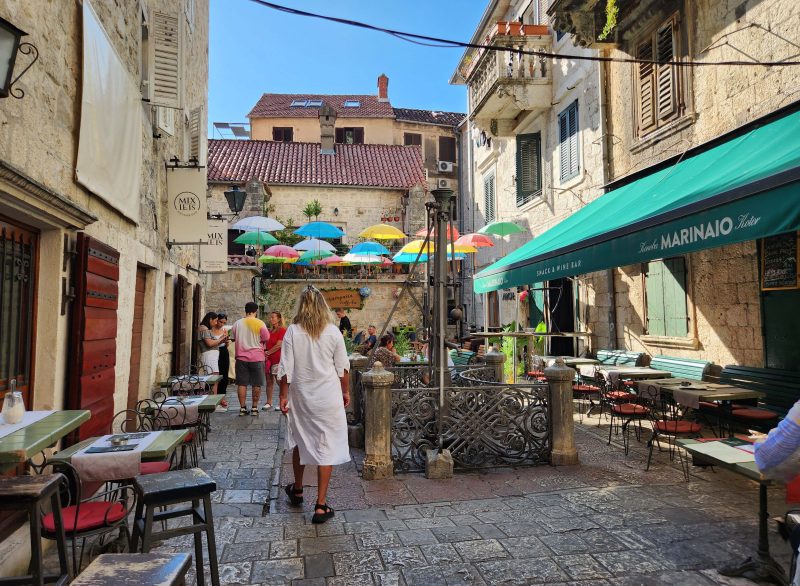
This is the Old City Square—where the action is.
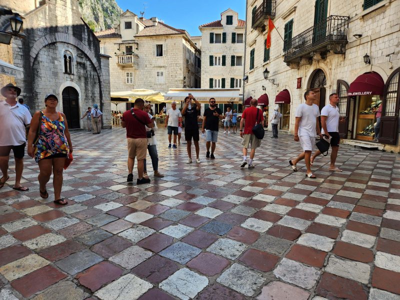
There were lots of restaurants, souvenir shops, jewelry stores, and pretty cafés in the Old City.
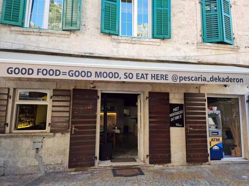
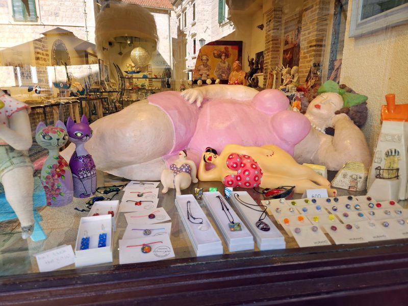
While we walked around, we saw the restaurant and souvenir shop pictured below and couldn’t help laughing at both.
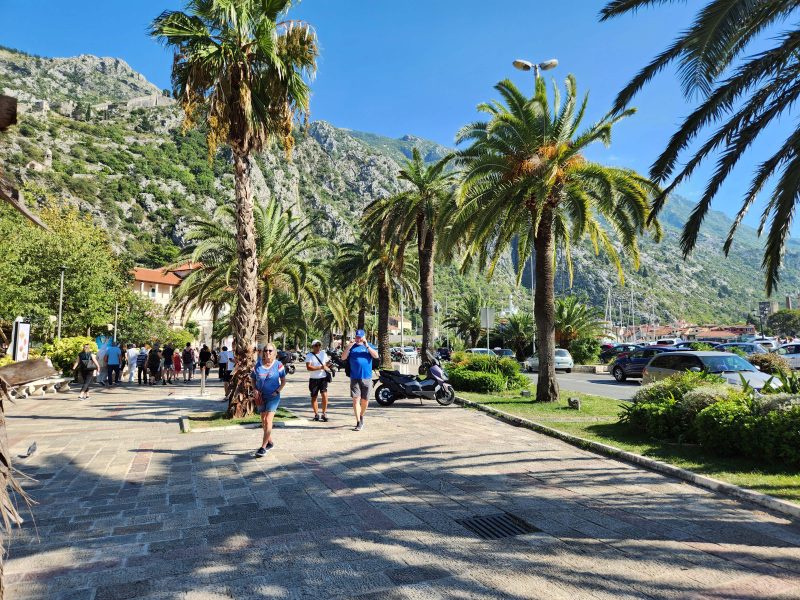
After leaving the Old City, we took a short walk along the inlet and then went back to our ship for dinner.