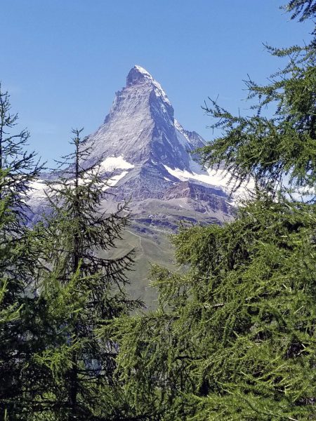
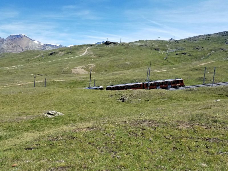
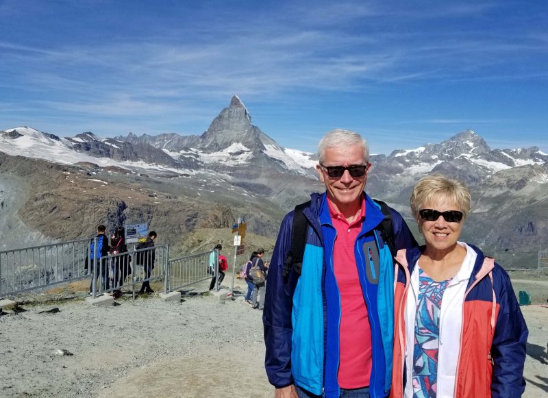
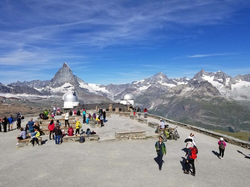
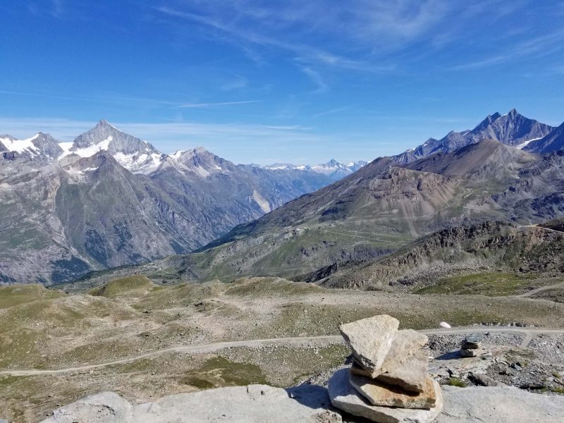
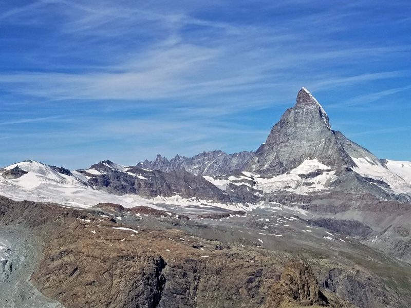
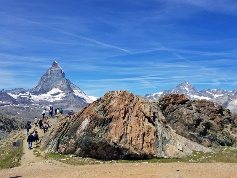
This morning, Ted and I rode Europe’s first electric cog-wheel train upward 5,000 feet from Zermatt to the 10,135-foot top of Gornergrat, a rocky ridge in the Pennine Alps. From the summit of the ridge, there is a 360-degree view of 29 Alpine peaks standing more than 13,000 feet high, including the 14,692-foot-high Matterhorn. (Ed. note: Darn! I didn’t even think of taking a panoramic photo!)
The weather couldn’t have been better. It was clear, calm, and warm. One man in our group said his parents have been here three times and have never seen the Matterhorn because of the weather. We’d expected this to be the coldest day of our European trip, but Europe’s heat wave continued and we eventually removed even our light jackets. The views were beyond words.
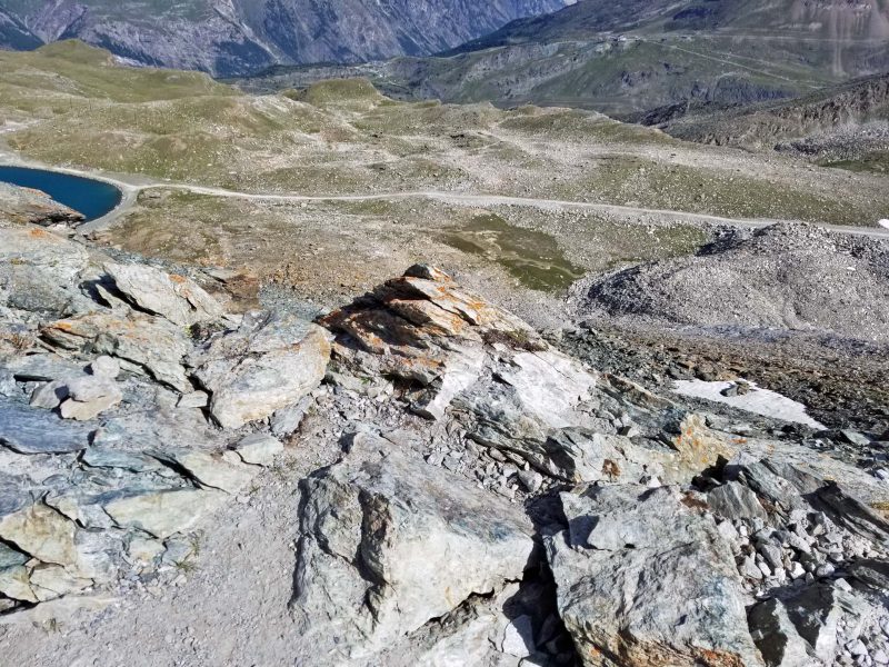
We climbed to the top of the ridge (about 200 feet up a rocky slope) to get these views.
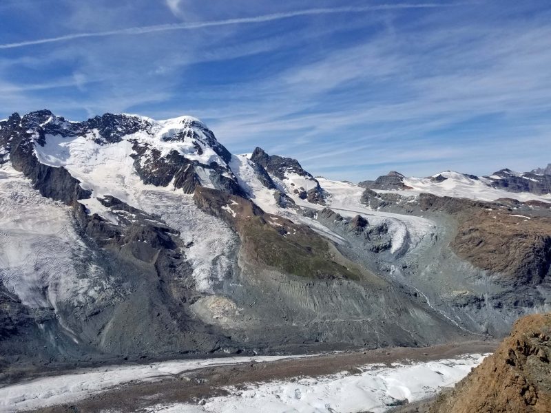
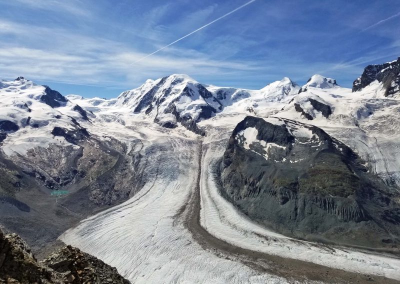
Here’s the Gorner Glacier, Europe’s second-largest glacier.
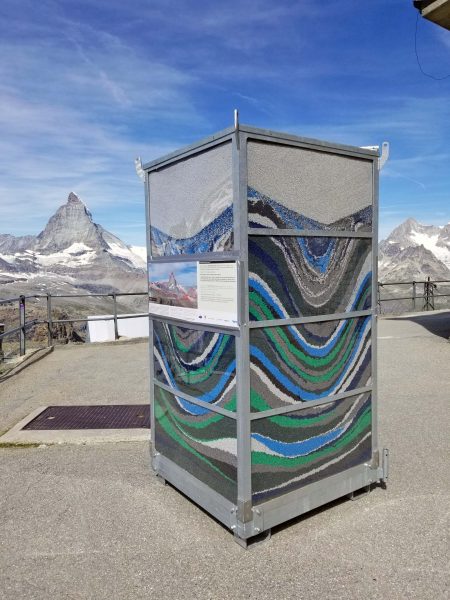
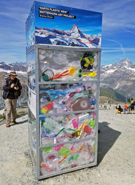
The Matterhorn is a “paramount ambassador” of global awareness of plastic waste, so there were some displays to call attention to the problem. The granular plastic is approximately a cubic meter of plastic. It represents the annual share of plastic waste for each individual on earth, so multiply this by 7.67 billion people–the 2019 world population–every year. The other plastic display is meant to call attention to the widespread litter of plastic. If each person’s share of the plastic granules was made into plastic bottles strung end-to-end, the string would circle the globe 1.5 billion times.

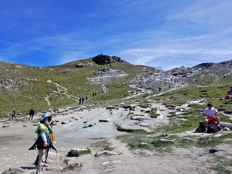
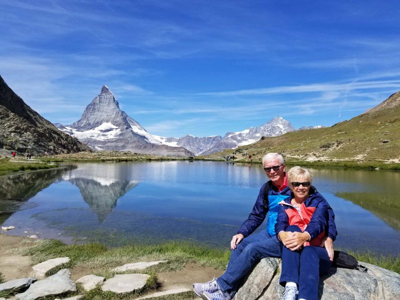
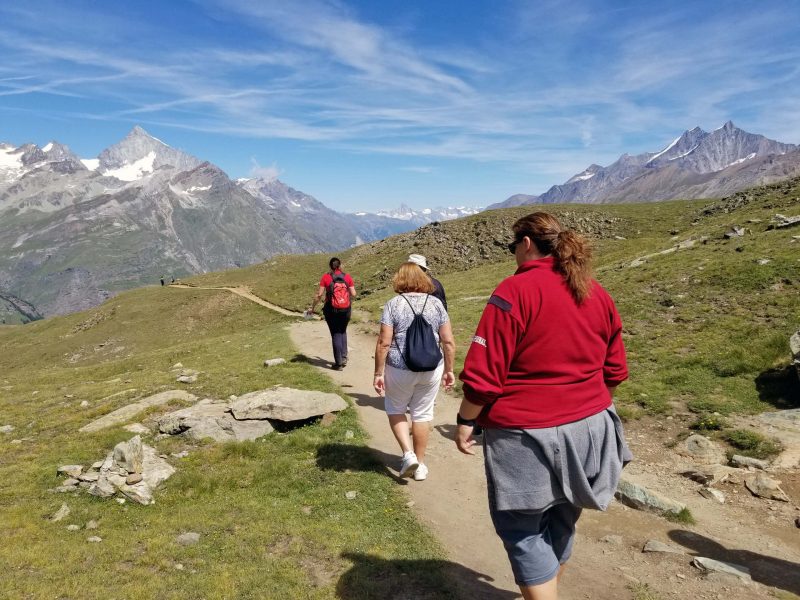
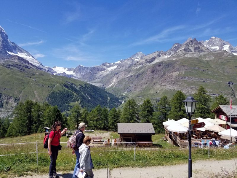
When Ted and I are in the Rockies, we always marvel that bicycle riders bike uphill and go downhill in a van. Today, the hikers and bikers we saw rode the train to the top, then hiked/biked down to Zermatt. We were technically on our own after we arrived at the top, but our guide said she was going to hike down two train stops for lunch at a hotel and she invited us to join her. Eight of us did. First, we hiked to “the lake.” It didn’t look like much from above, but it was awesome when we reached the lake level.
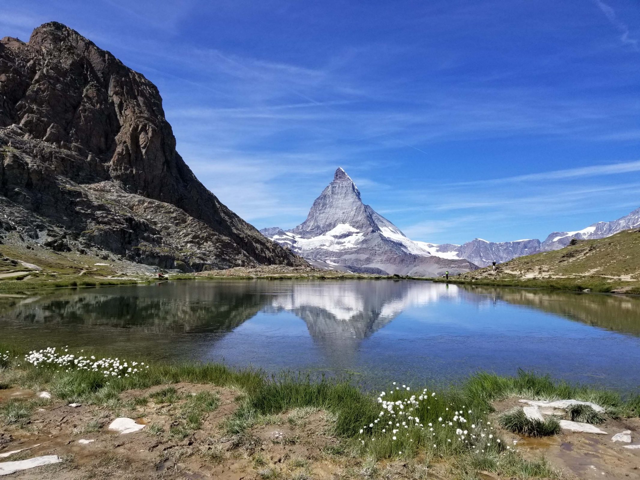
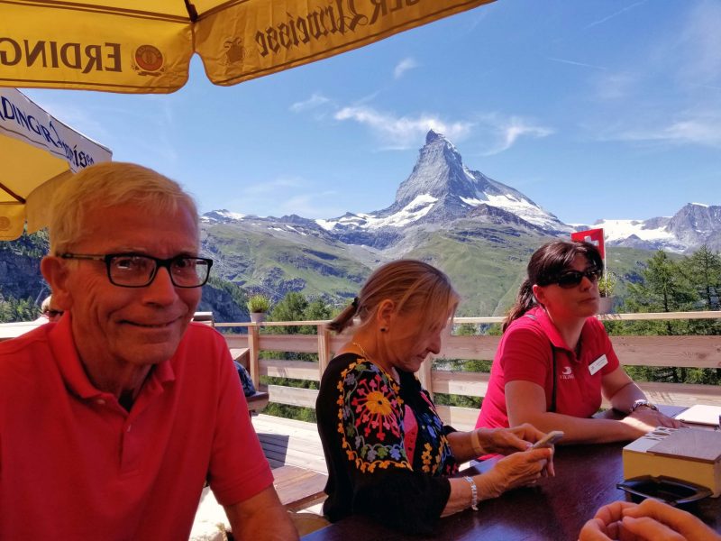
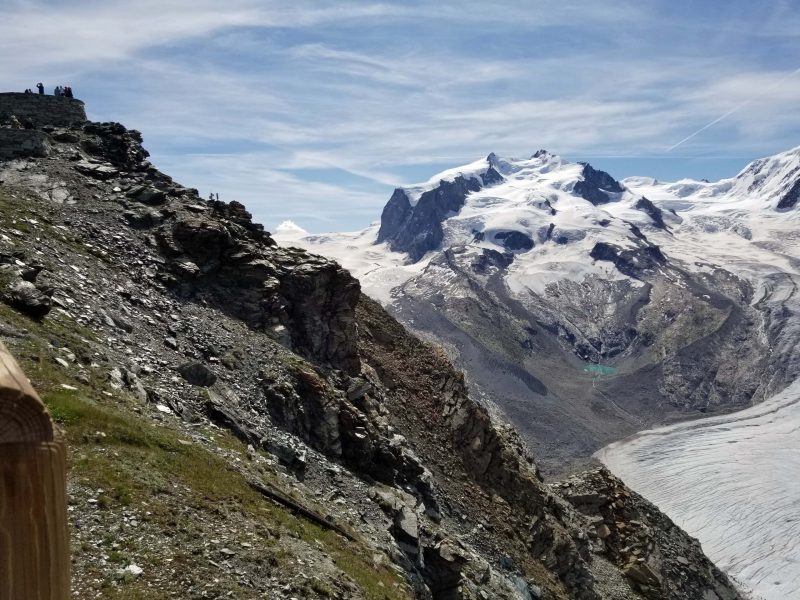
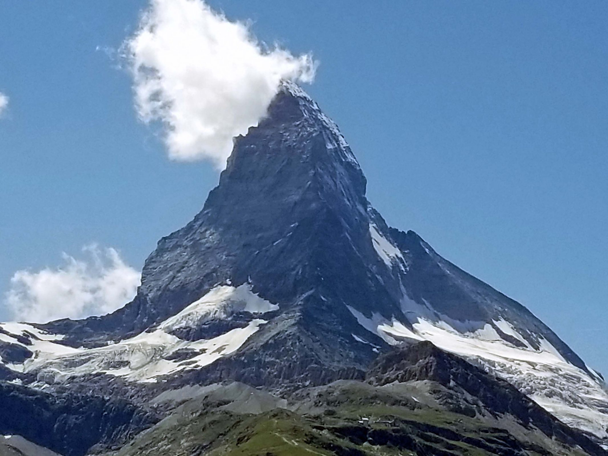
Our waitress was a climber and has climbed the Matterhorn many times. We asked her how long it takes to reach the summit and she asked, “For me or for regular people?” She can climb it in 3.25 hours; most people do it in about 4.5 hours. If you look closely at the picture below, you can see a footpath in the snow on the right (north) side of the mountain at nearly the top of the snow line. It looks like a dark horizontal line in the snow. The view of the footpath is blocked by a rocky ridge in the right center of the picture. There is a hut behind the ridge. The waitress’s climbing times begin at that hut.
During the next hour, on our way down to the next train station, we had another beautiful view of the Matterhorn. What a day!