We had some weather excitement today: a wake low. I wouldn’t have known a thing about it if I hadn’t watched the TV weather report while I ate my lunch.
I learned that a wake low is a very special meteorological phenomenon, because: (1) only modern weather technology has made it possible to detect wake lows; and (2) they have been observed only in the Mississippi River valley (us), Florida, and the Great Plains.
A wake low occurs when there is a small low pressure area behind (i.e., in the wake of) a squall line, which is under a higher pressure area. As the squall line passes over low-level warm air, the air behind it cools (rain-cooled air). A wake low forms as a result of a unique rate at which the rain warms and cools the air, combined with a unique pressure difference between the high and low pressure areas above and behind the squall line. An identifying characteristic of a wake low is strong winds.
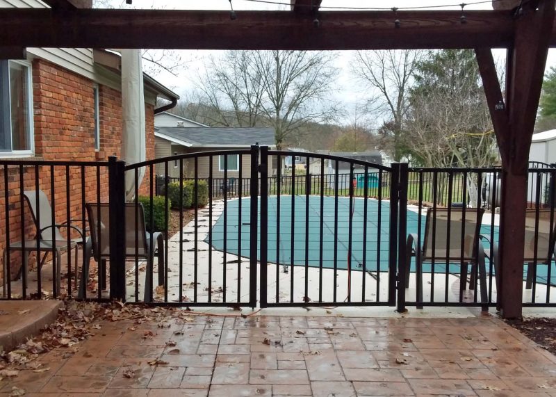
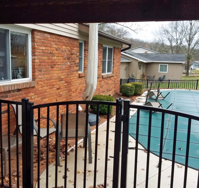
For those who didn’t see the noon weather report and therefore didn’t know we had a wake low, that means we had strong winds gusting at 50+ mph this morning in St. Charles County (us) and northern St. Louis County (Lambert airport), resulting in flight delays, some downed trees, and minor property damage. We didn’t have downed trees or property damage at our house, but we did have property movement.

