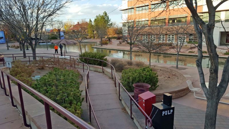
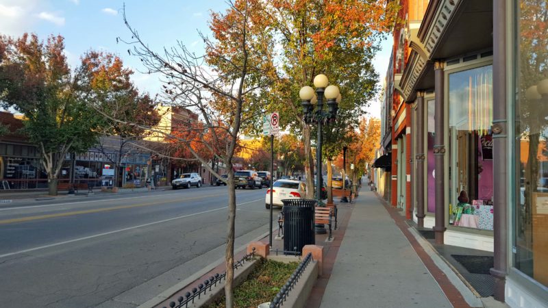
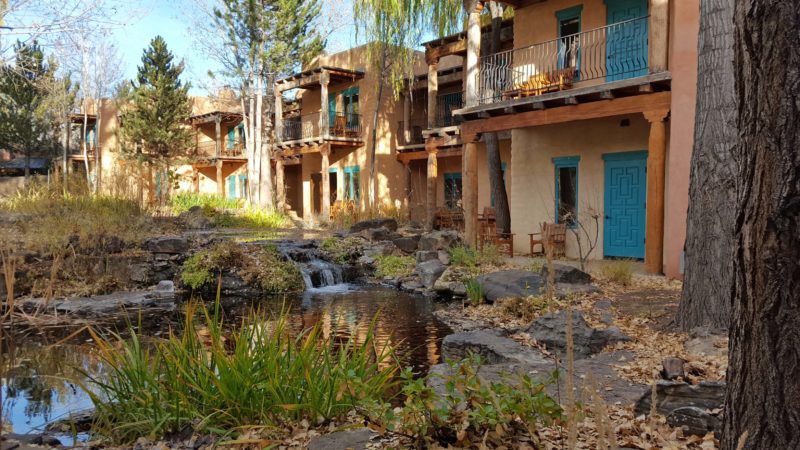
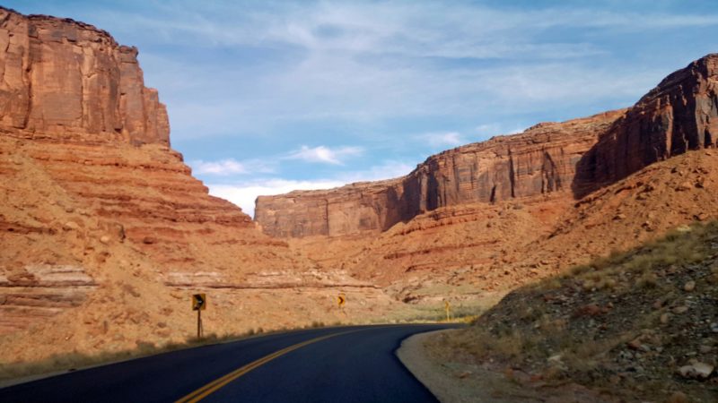
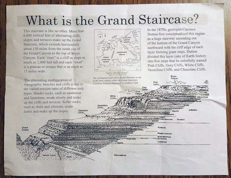
Ted and I started our day by taking the pedestrian bridge from our hotel to downtown Glenwood Springs, CO. It was a 5-minute walk vs. a 30-minute drive through the construction zones. We still had to face some of the dreaded orange cones, because they indicated the crosswalk for us to get to and from the bridge.
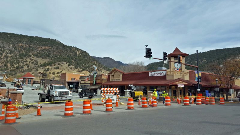
Does this look like a crosswalk or a barrier? There are two lines of yellow tape strung along the cones; therefore, it’s a crosswalk for pedestrians, but a barrier for vehicles. This is nothing compared to the number of traffic cones at two of the corners we had to drive around yesterday.
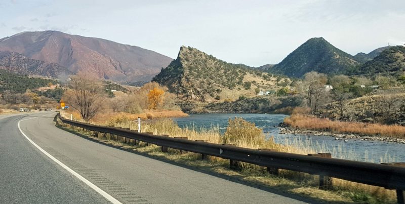
Glenwood Springs is an old town and looks very historic–except for the modern-day traffic that is backed up waiting to turn at the corner in the picture above. Traffic was lighter today and there were no traffic cops. I have no idea what made yesterday so special that everyone wanted to clog up the streets.
The back-up continues to the right of the photo. Somewhere around the distant rise in the road in the left center of the picture is the corner where these cars can turn left. If we could have gone straight here yesterday, we’d have been at our hotel just across the bridge.
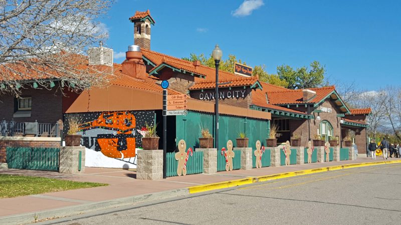
Our goal today was to visit the Railroad Museum. Admission is $2.00 and the docent will start the two model trains whenever visitors ask to see them run. It’s obviously not a world-class museum, but the depot is an interesting building and the museum is housed in what used to be the Ladies’ Waiting Room, so it sounded like an interesting way to spend a little time.
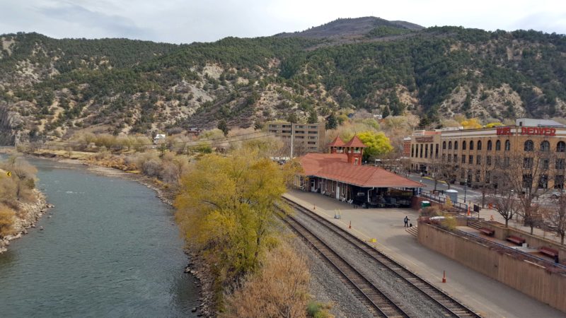
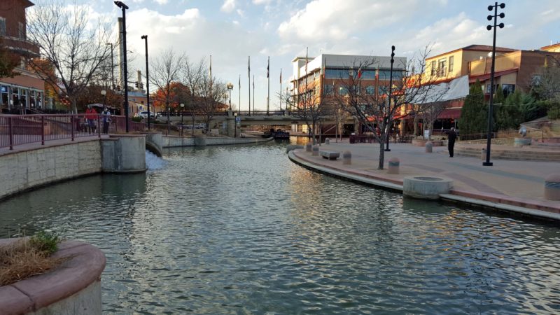
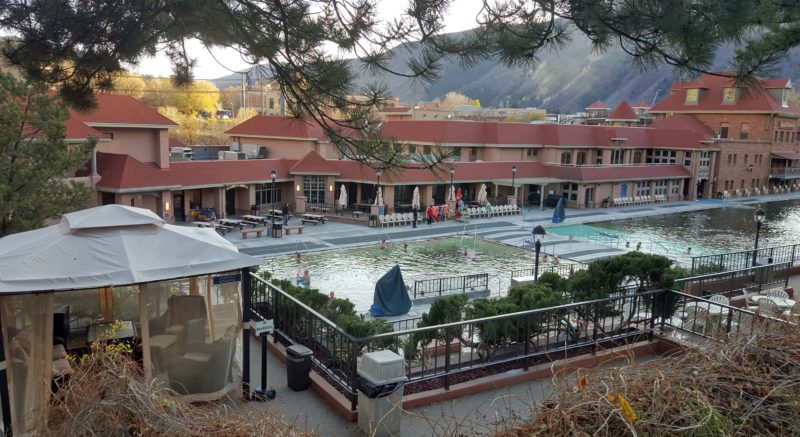
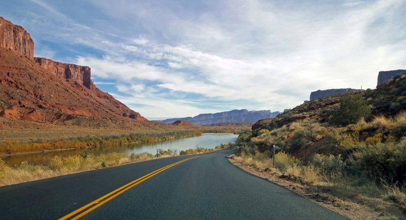
The red-roofed building is the still-active train depot as seen from the pedestrian bridge. The Colorado River is flowing on the left, and the historic Hotel Denver is on the right.
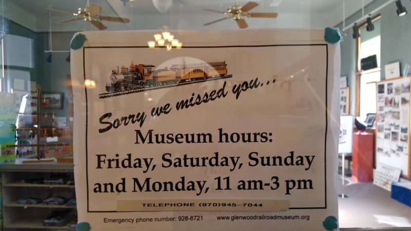
This is what greeted us at the museum door. Today is Wednesday. The “season” seems to end in this area the last weekend in October, so a lot of businesses have reduced hours. On the bright side, hotels are cheaper.
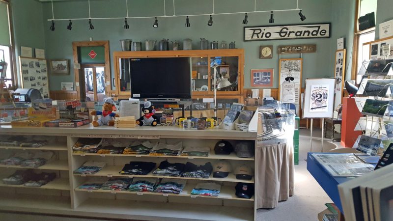
We could see through the windows. This is the entire museum. The tracks for the two model trains are visible on the table in the right center of the photo.
Moving on, we had a delicious lunch at a restaurant in the Hotel Denver and then walked around and admired the beautiful historic 4½-star hotel.
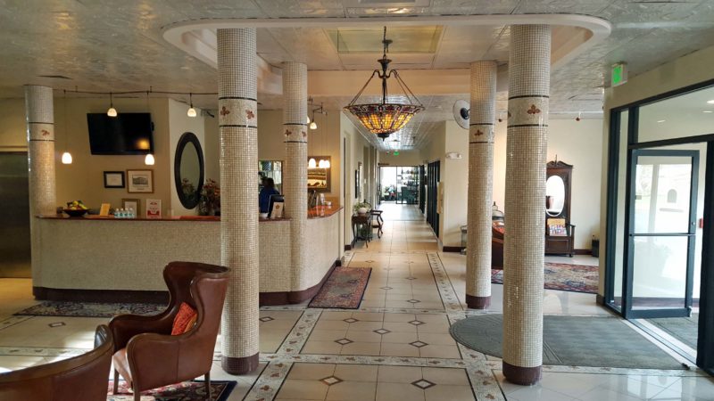
Here’s a view down the hallway from the lobby.
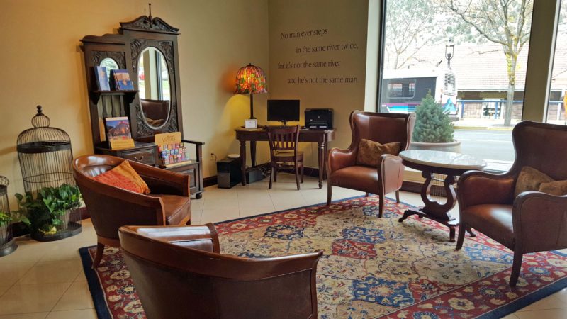
This is the seating area across from the check-in desk in the above picture. On the other side of the front door is a similar room with a grand piano.
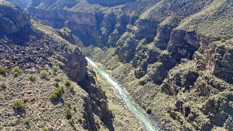
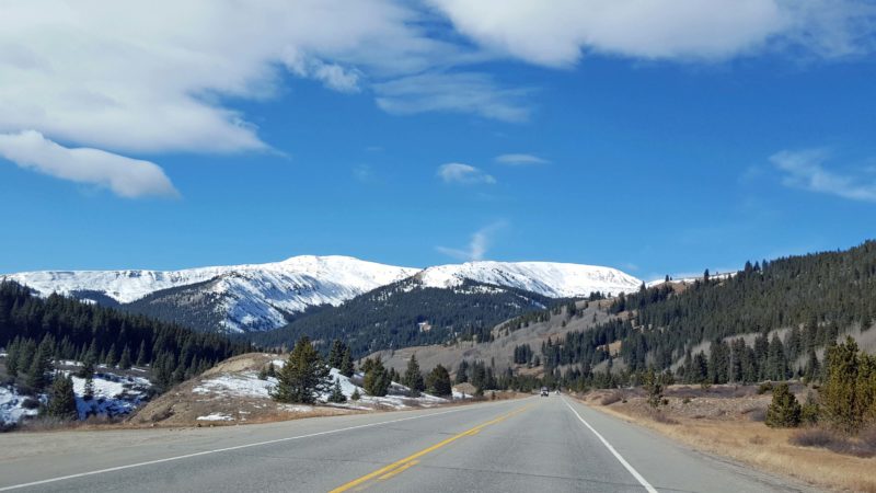
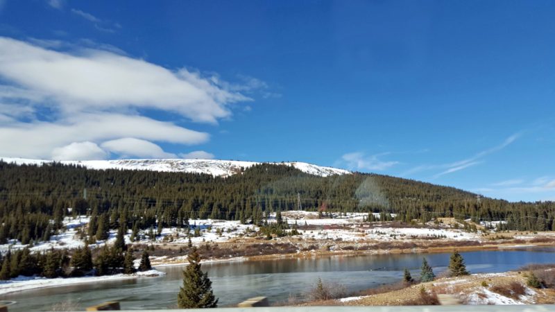
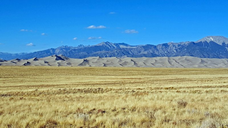
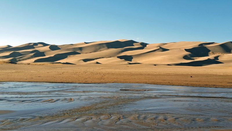
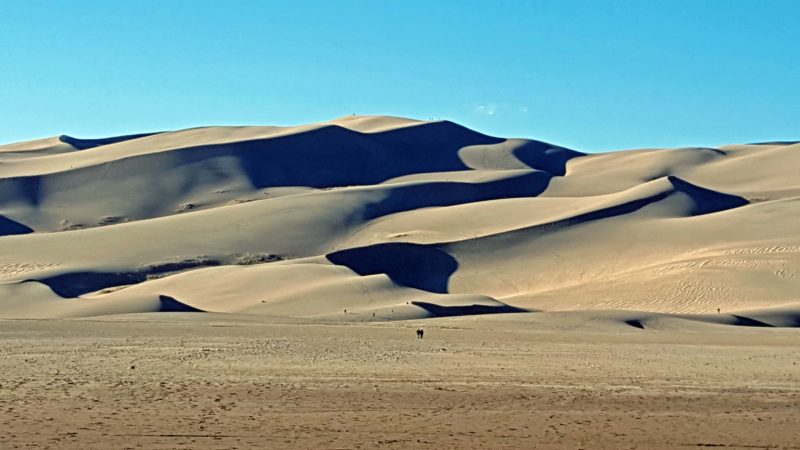
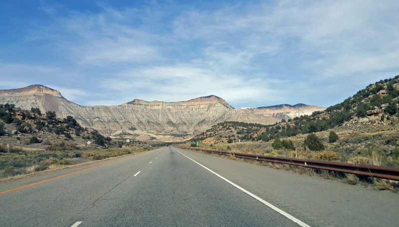
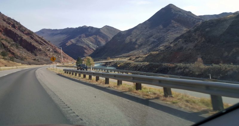
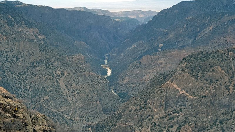
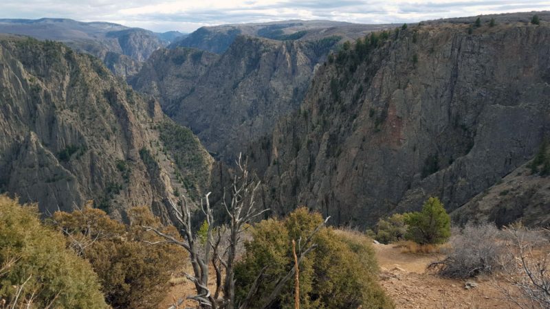
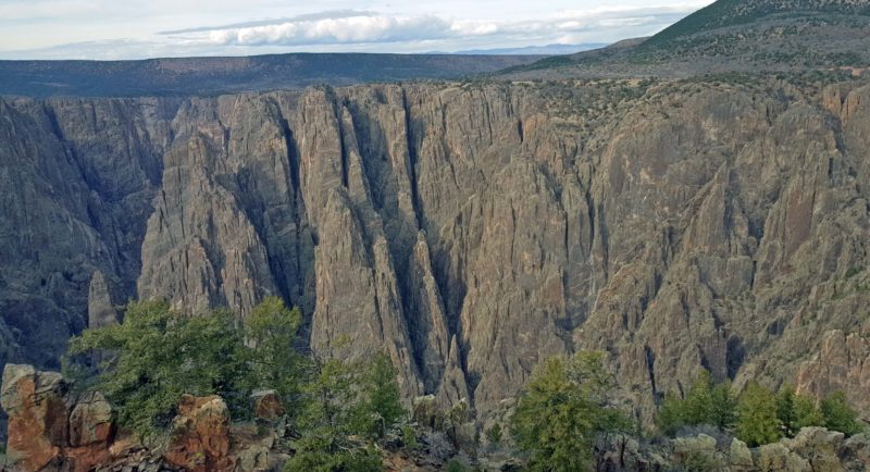
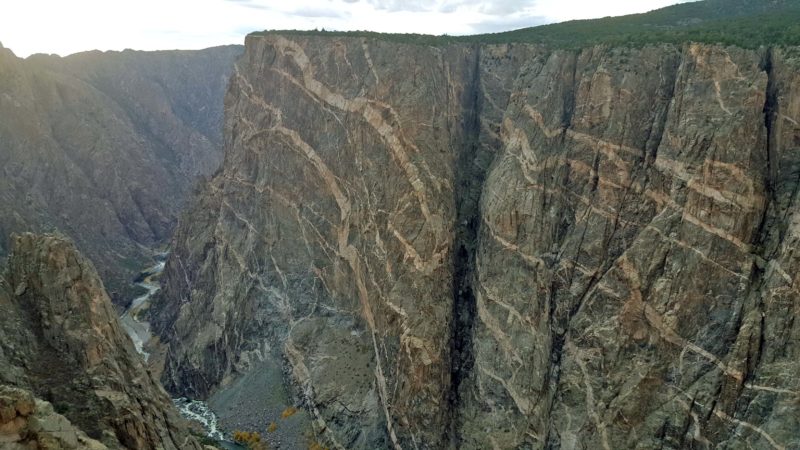
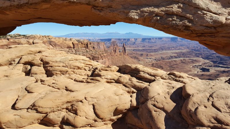
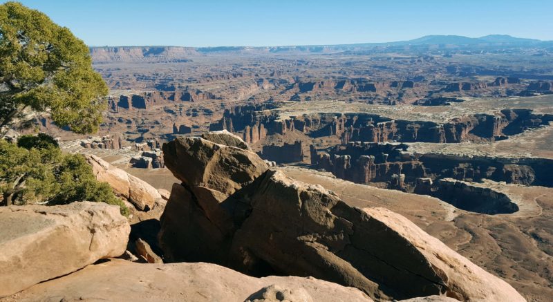
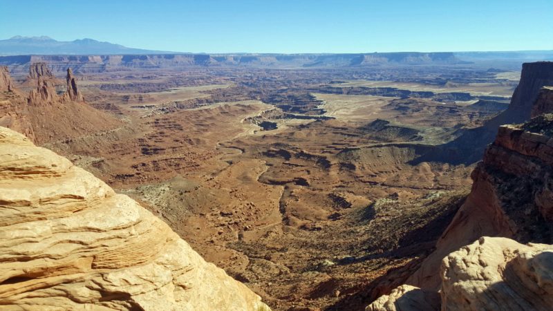
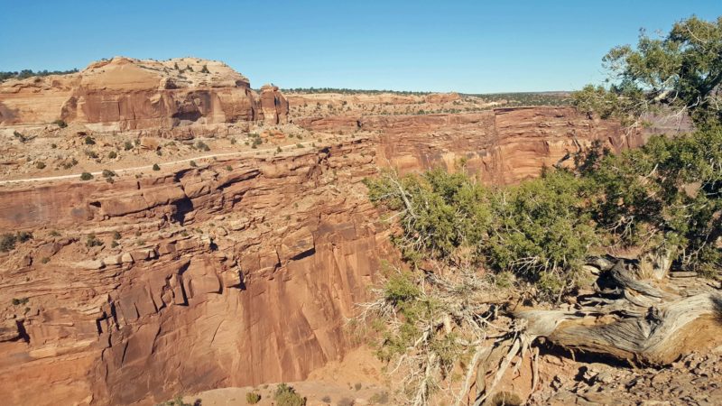
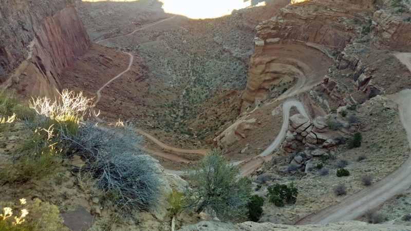
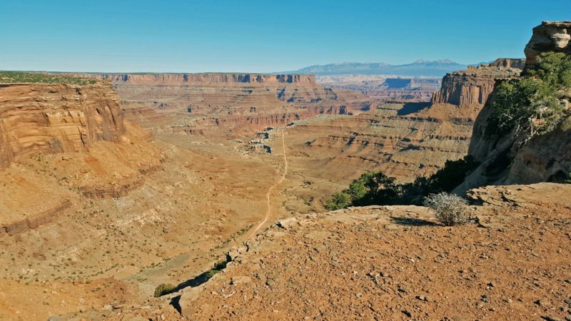
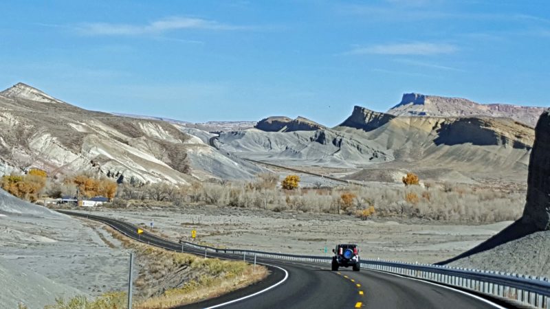
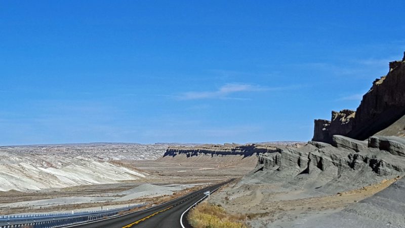
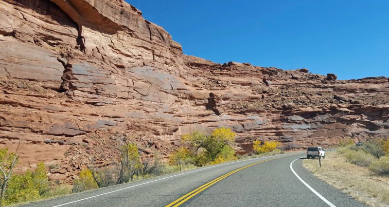
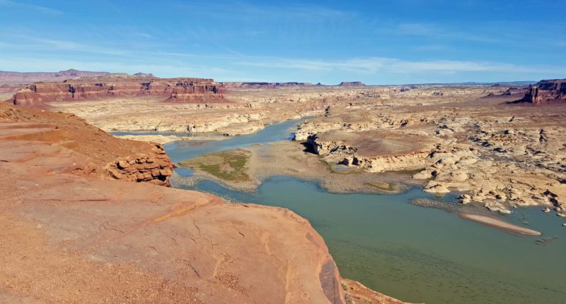
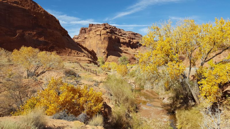
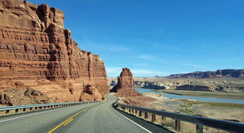
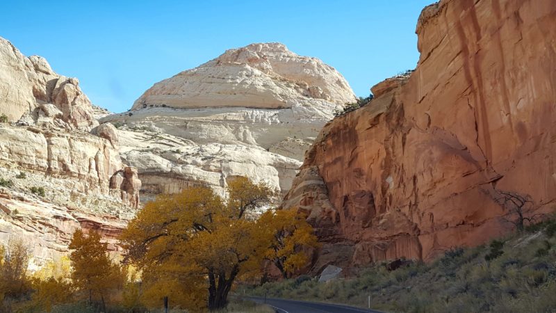
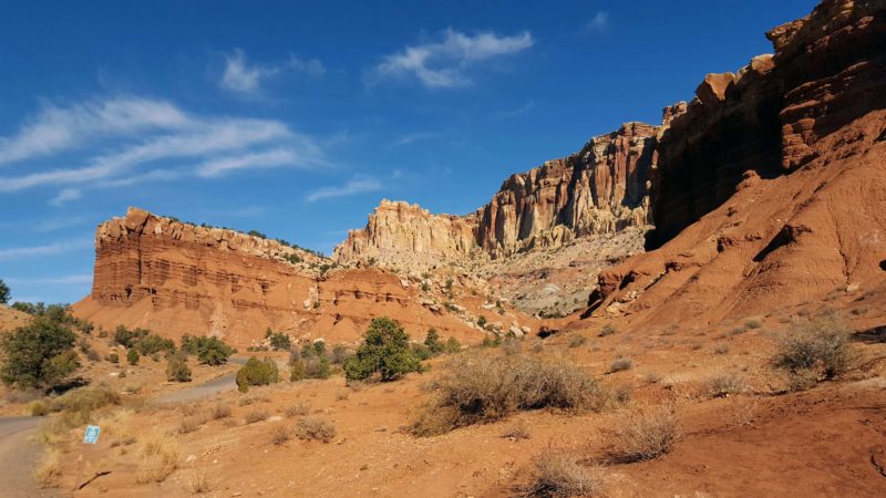
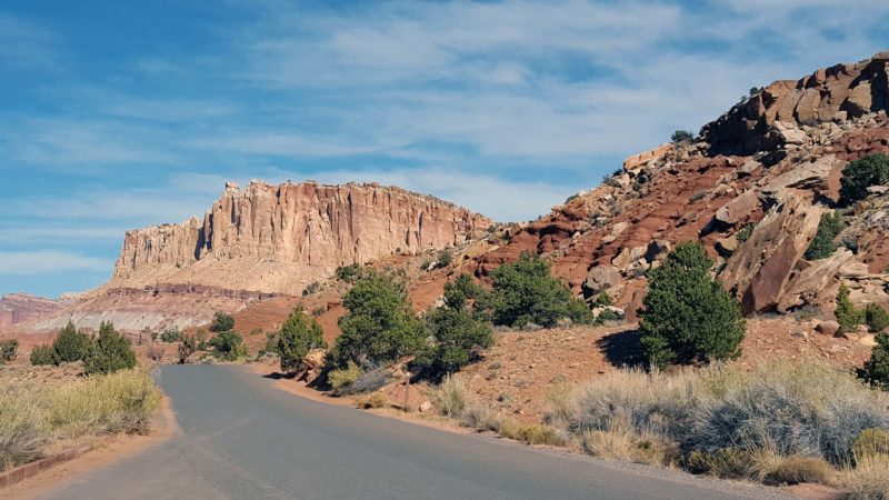
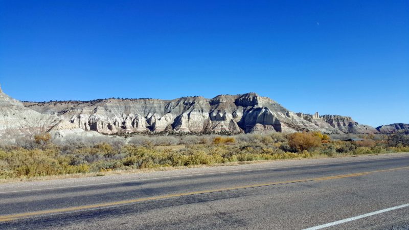
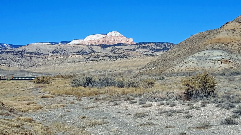
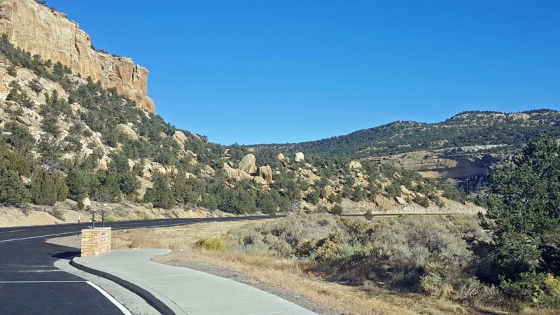
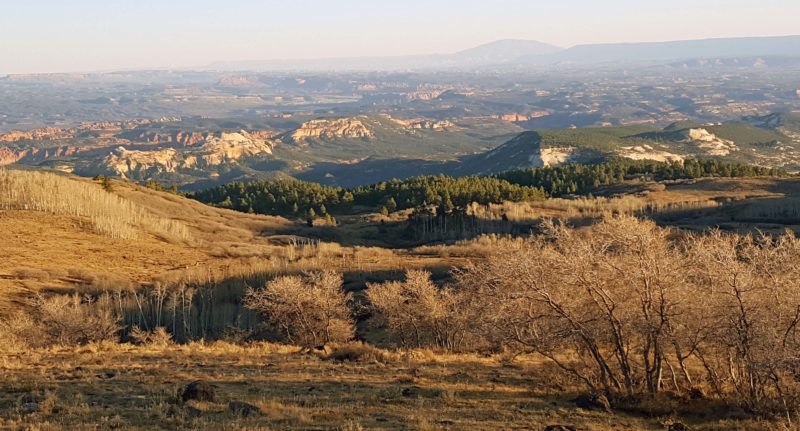
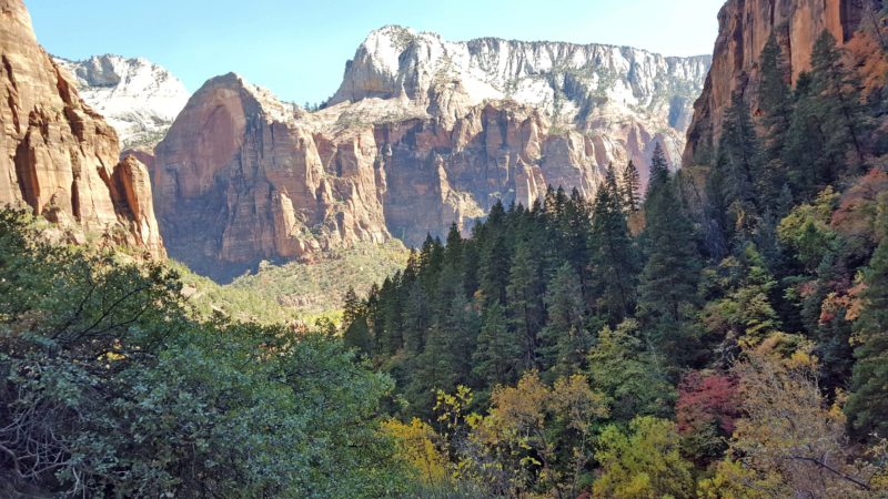
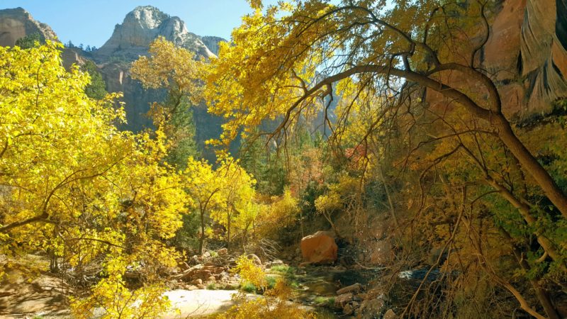
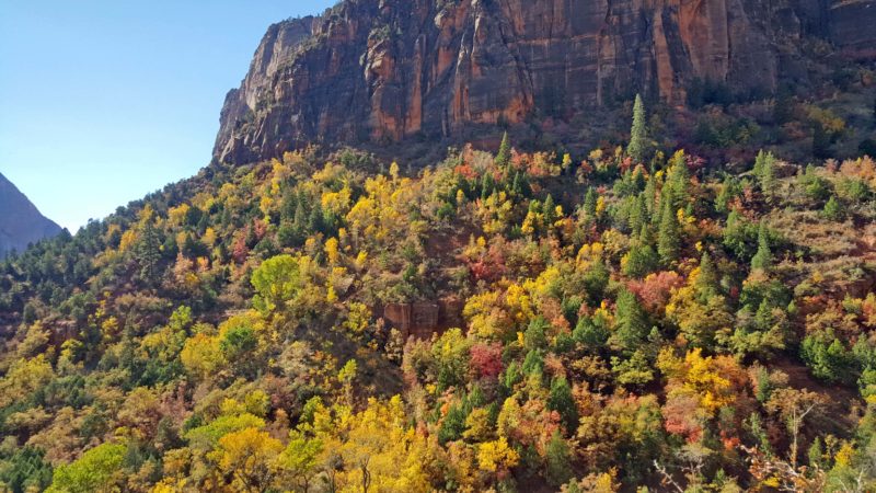
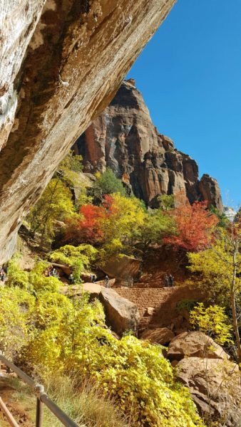
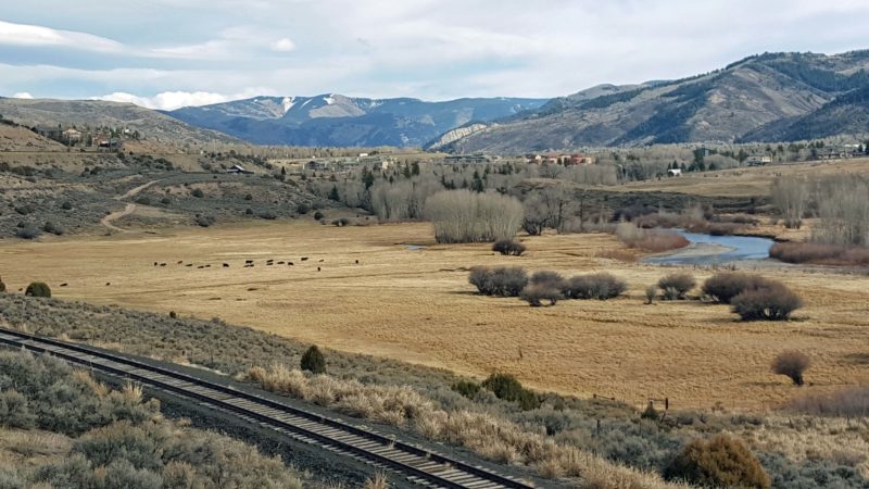
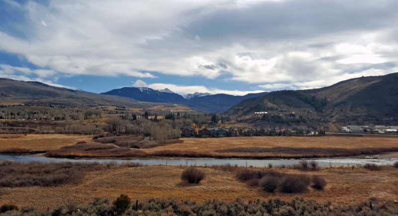
We drove I-70 through the Glenwood Canyon and had more scenic mountain views most of the way to Vail. Here are some that were a little different than what we’ve been seeing every day. The snow on the mountaintops is fresh.
We had a very enjoyable afternoon in Vail, despite temperatures in the mid-40s and a wind advisory. Vail’s bus system is free and has a bus stop at our hotel door, so we took the bus to the town of Vail and then to Lionshead Village. After returning to the hotel to freshen up, we took the bus back to Vail for dinner.
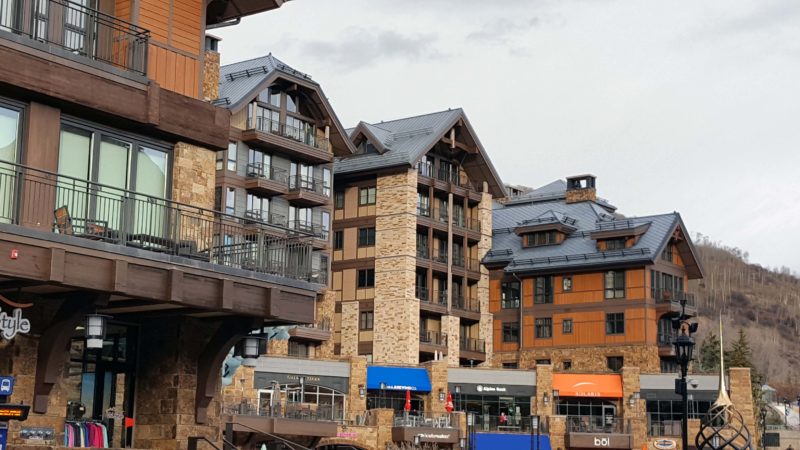
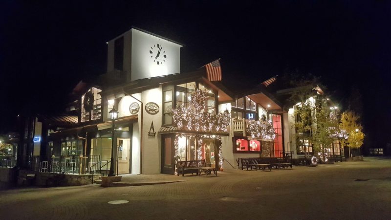
The town of Vail was built as the base village for the massive Vail Ski Resort–the largest ski mountain in Colorado. The town has Bavarian-style architecture and is pretty and charming, but pure tourist-y.
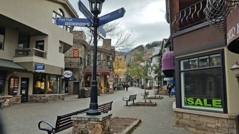
Some of the Bavarian-styled shops in Vail.
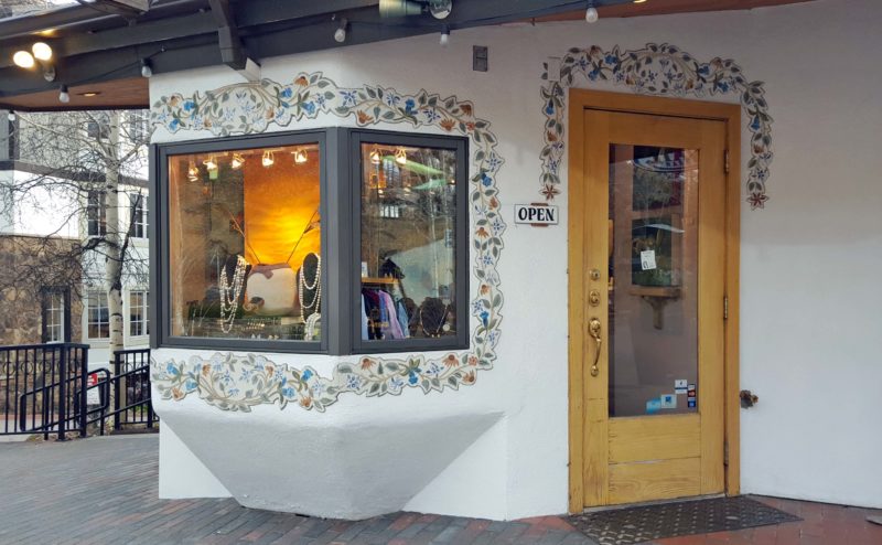
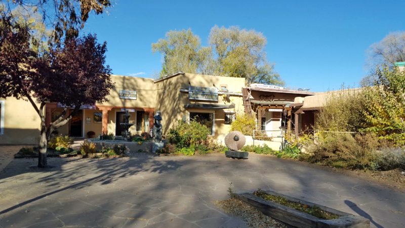
I thought this was the prettiest shop.
This is my picture postcard view of Vail from the covered bridge in the town.
Notice the snow fences on the roofs of the buildings. Some buildings had signs warning passers-by to watch out for snow falling from the roofs. No danger of that today.
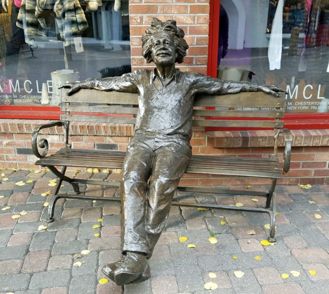
There are sculptures everywhere in Vail. Most are very art-y, but this one of Uncle Albert was more playful.
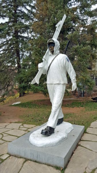
This sculpture is a memorial to the ski troopers. The ski troopers fought in Kiska, the Aleutian Islands, and Italy in WW2.
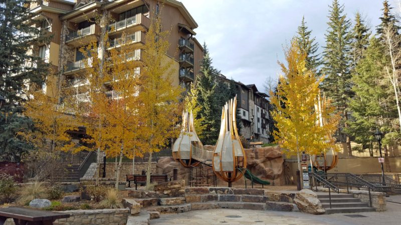
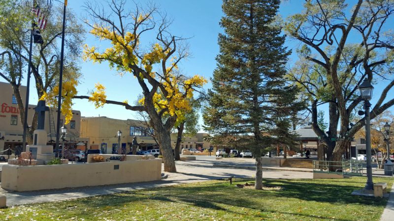
A few trees still have leaves, making this a pretty little park.
At night, the twinkle lights come on. I assume there will be many more twinkling in the next few weeks.
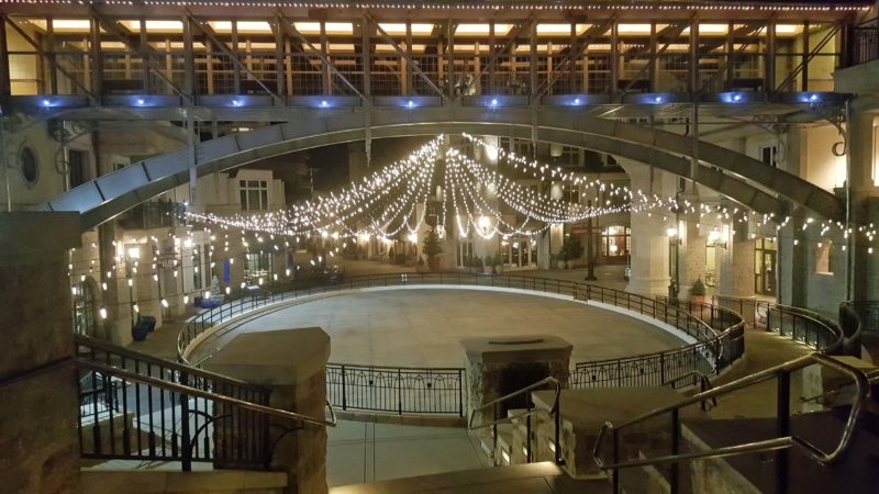
This is a skating rink. No ice on it yet, but man-made snow already marks the ski trails on the mountains.
One of the sidewalks in Vail had a puzzle stamped into the blocks. Any readers who like to work puzzles have probably seen the type that instructs you to change one word to another in x-number of moves, changing one letter at a time. The sidewalk changed bird to hare in eleven moves. If you’re challenged, try it. The solution is at the bottom of this post.
And then there was pie. As Ted and I were selecting a restaurant for our dinner and reading the reviews, we saw this one.
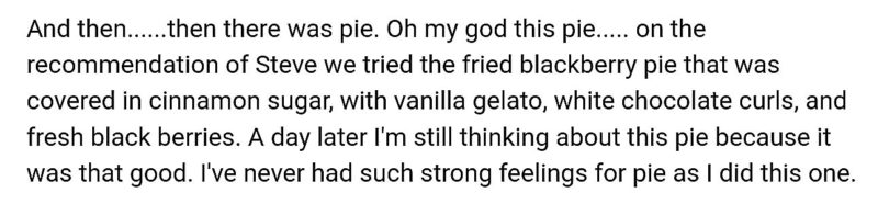
Guess what we had for dessert tonight. Warm fried blackberry pie with fresh blackberries, covered with cinnamon sugar, and topped with vanilla gelato and shaved white chocolate curls.
I asked the waiter how they make this pie. Partially bake a pie crust circle so it will hold together. Add mashed blackberries and fold the crust over to make a semi-circle, then crimp the edge. Bake it a few minutes to set the crust, then deep-fry it until done. Cover with cinnamon and sugar, and add the trimmings. It was a delicious dessert choice and unlike any pie we’ve ever had before.
During the afternoon, we saw a store with a green cross on it and remarked that, in Europe, a green cross indicates a pharmacy. Sure enough, a sign indicated that this store sells “natural medicinals” and provides “recreational sales.” Oh, that’s right–we’re in Colorado and it’s legal here. Then, this evening, we saw this in a different store window.
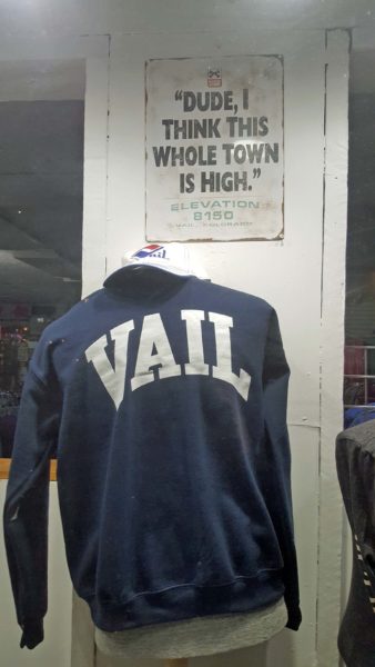
Define “high”–8,150 feet or natural medicinals?
Glenwood Springs and Vail were fun. Here’s the puzzle solution:
Bird-bard-lard-lord-load-toad-road-read-head-herd-hard-hare. Each word was stamped in sequence in a trail of sidewalk blocks. Clever!