Canyonlands–number five of Utah’s Mighty 5® national parks.
Ted’s and my first stop in Canyonlands NP was the Mesa Arch.
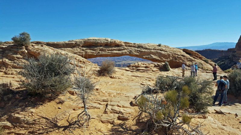
We’re not far from Arches NP, so it’s not surprising to find a similar erosion pattern in Canyonlands.
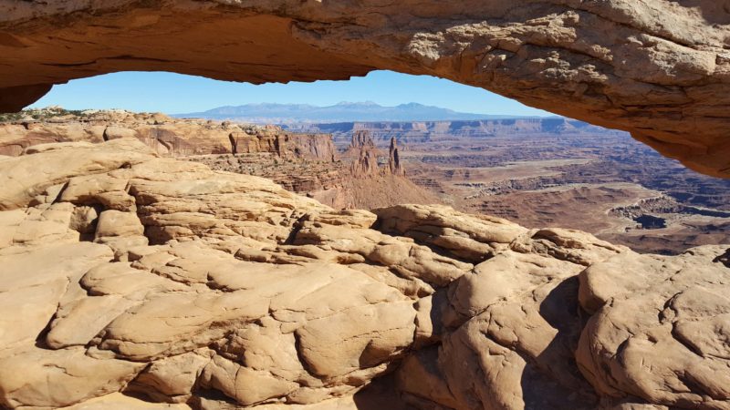
Here’s a canyon view through the arch.
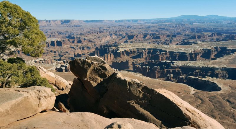
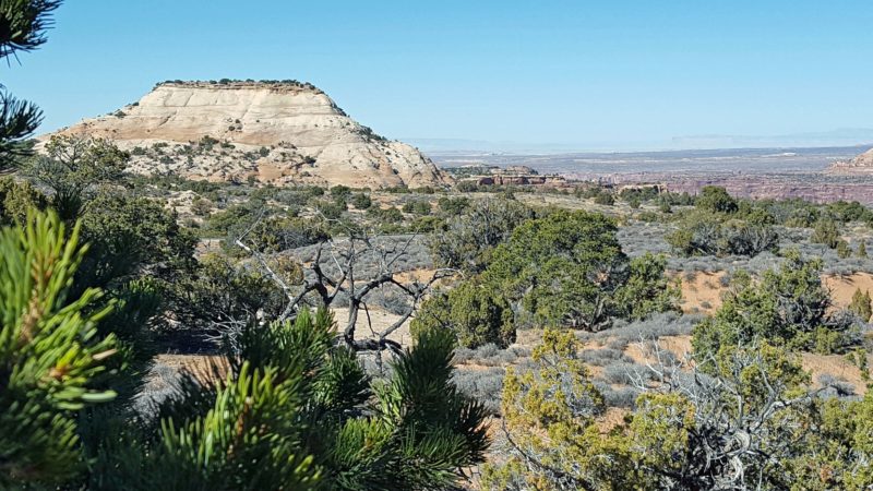
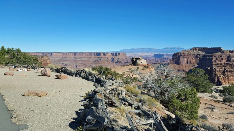
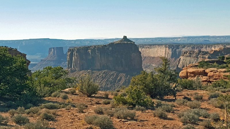
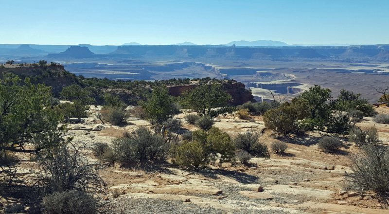
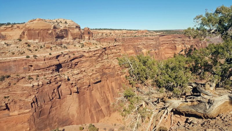
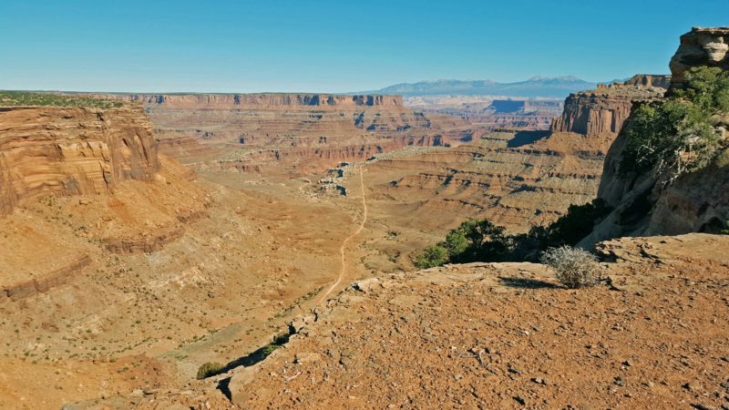
It’s easy to drive from place to place in Canyonlands, because the park’s scenic drive goes over the top of a mesa. The canyons are eroded at lower levels and the mesa provides a good viewing point of them. We took pictures of scenes we liked, so I don’t have names for all of them, but the first one is called The Maze. I wonder why. The pictures below are representative of what Ted and I saw on our day in this national park.
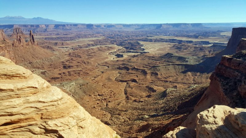
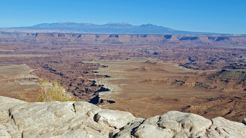
I think the photo below looks like an underwater view, with formations above and below sea level. Maybe that’s how it was before the erosion began millions of years ago. The solid, level blue is a distant mesa, and the sun shining into my camera lens created the hazy look.
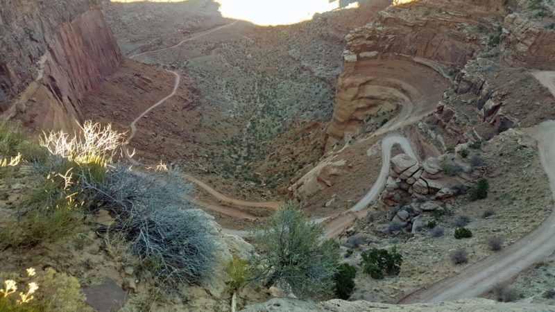
Notice the dirt road at the top of the cliff wall on the left in the picture below. Then look at the second picture, which shows how that road winds down into the canyon. Ted and I counted 8-10 cars navigating the road very carefully and very slowly. It’s steep and has tight curves, but no guardrails. The third photo shows the road straightening out (a little) at the bottom of the canyon.
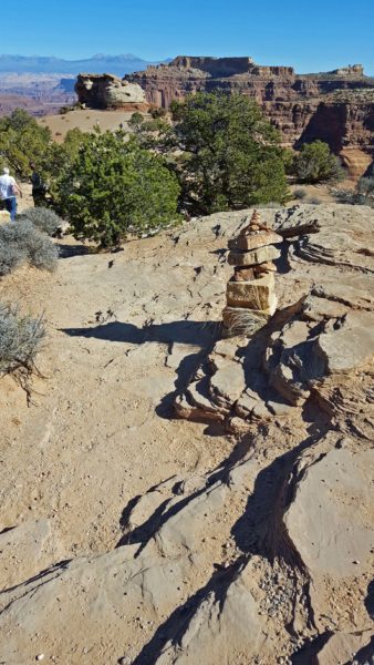
The trails we walked on today were marked with rock cairns. I think that might have been necessary because there was more rock than dirt on the trails, making it hard to follow a specific path.
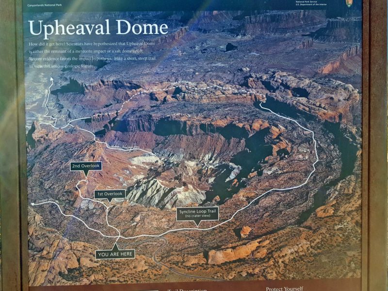
We missed what was probably the best trail and the best view of the entire park because we’d already walked short trails for almost four hours before we arrived at Upheaval Dome. It was getting late in the day and this trail looked steep and difficult. The syncline loop trail around the rim was rated primitive and strenuous and required topographical maps. The information board noted that this trail requires more rescues than any other trail in the park.
The trail to the second overlook, where we would have gone, looked pretty tough and was estimated at an hour’s time (minimum) to hike. We just didn’t have the energy for that level of hiking for another hour or more. Darn! The information on the board said there is controversy over whether this formation was created by volcanic activity or by an impact. Current opinion leans toward an impact. This would have been amazing to see!
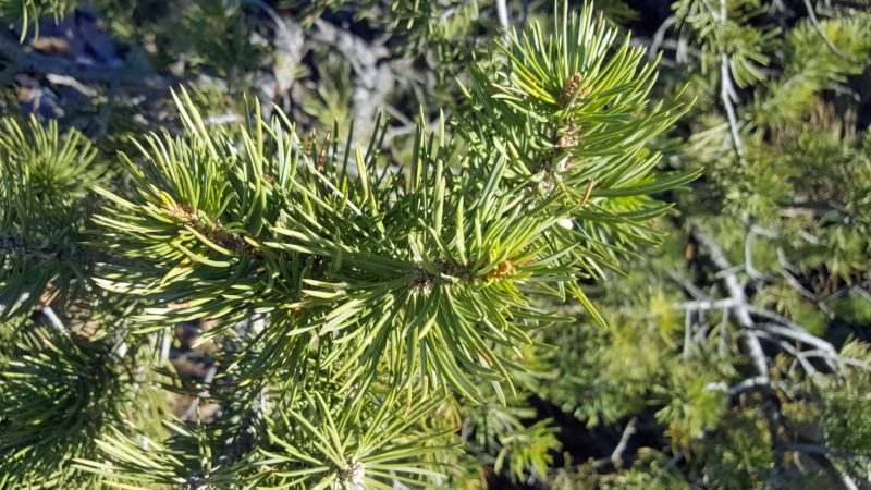
My lesson for today was botanical. One of the trees growing in this area is the two-needle pine. Look carefully at the needles in the picture–each one is paired at its base with a twin. Cool!
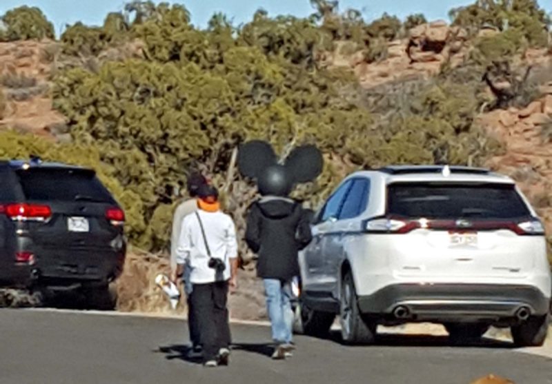
Fun fact of the day: It looked like Mickey Mouse was visiting Canyonlands too.
Before leaving the park just before sunset, Ted and I took time to sit on a rock (there were a lot of them in the park) and admire the view while we ate a snack. A nice ending to our day in Canyonlands.
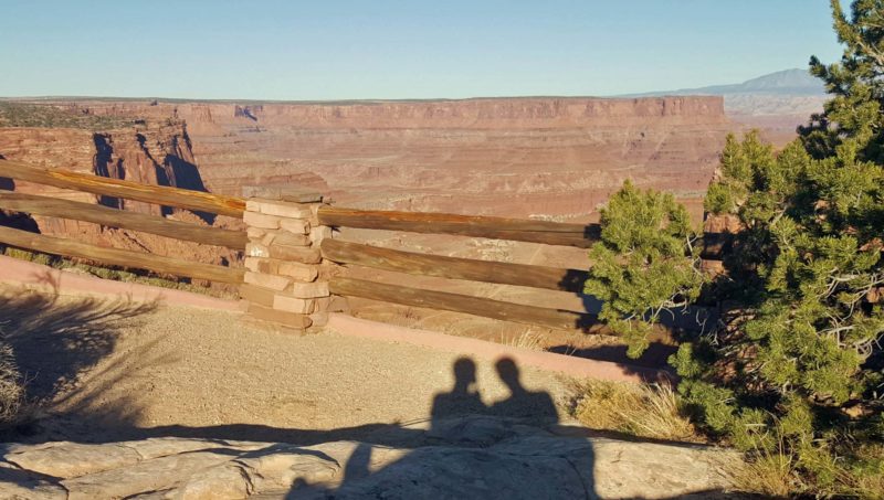
A shadow selfie.