The word loess comes from the German löβ, pronounced “luss.” It is what the Germans call the silt deposits in the Rhine River valley, and means “loose” or “crumbly.”
The Loess Hills in western Iowa rise up along the Missouri River and are a product of the Illinoian and Wisconsinan glacial periods. The silt particles of loess were formed by the grinding movement of glaciers on the rock underneath them, and were carried downstream by rivers. When the river flow decreased (as in winter), exposed loess deposits dried up and were carried by the wind to be deposited in great, rolling drifts. The drifts in western Iowa were later shaped by erosion to create the topography of the Loess Hills. Loess itself is not rare, but loess deposits greater than 200 feet deep are found only in the Loess Hills of Iowa and in the Yellow River valley in China. Even where loess is less deep, it is some of the richest soil in the world. Most of Iowa is covered with loess.
The Loess Hills National Scenic Byway is 220 miles long with 15 additional excursion loops to access natural, historic, and recreational attractions in the area. This network links the most spectacular scenic areas in the Loess Hills and provided a beautiful drive through western Iowa for Ted and me today.
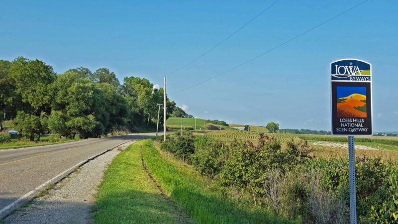
The Loess Hills National Scenic Byway–an American treasure.
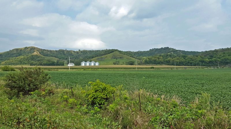
A view of the Loess Hills as we approached them.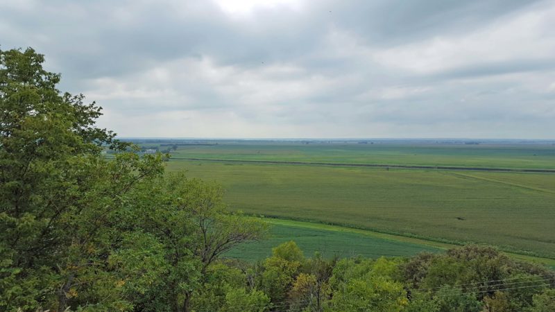
Overlooking the Missouri River plain to the west of the Loess Hills.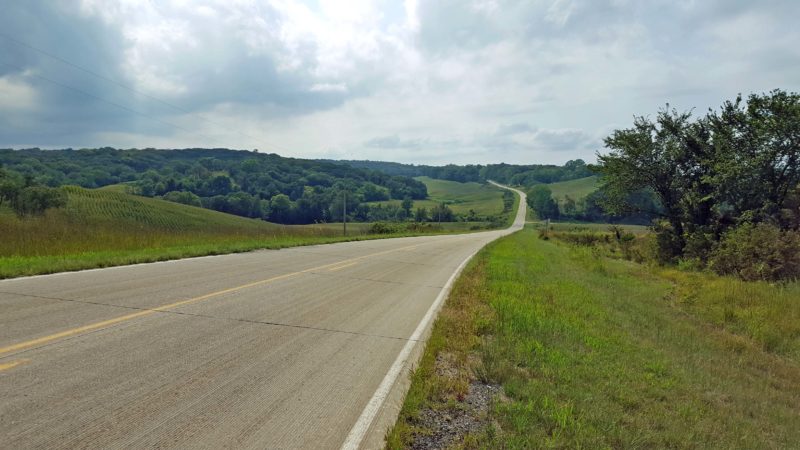
A typical scene as we drove through the Loess Hills.
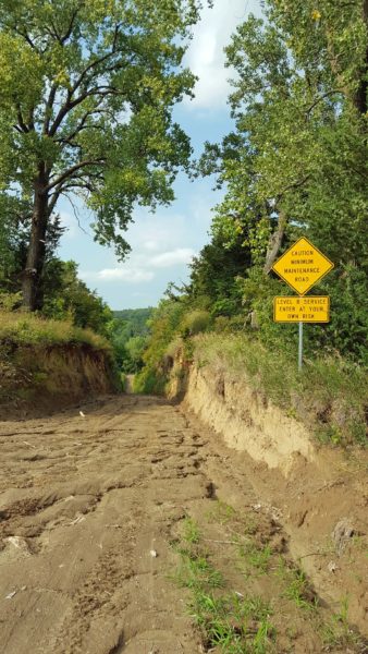
The top sign says “Caution: Minimum maintenance road.” The bottom sign says “Level B service. Enter at your own risk.” The picture fails to capture how steep and narrow this road is. Ted and I plan to drive several National Scenic Byways on our Midwest Adventure Trip (MAT). The Loess Hills Byway was the first and it was so beautiful, we are looking forward to the others on our itinerary.