We are probably having our last weekend of summer weather with temperatures in the upper 80s, so Ted and I decided that today was the day to check the Centennial Greenway off our bike route wish list. Eventually, the Centennial Greenway will be 20 miles long, but right now, only 3.5 miles are finished.
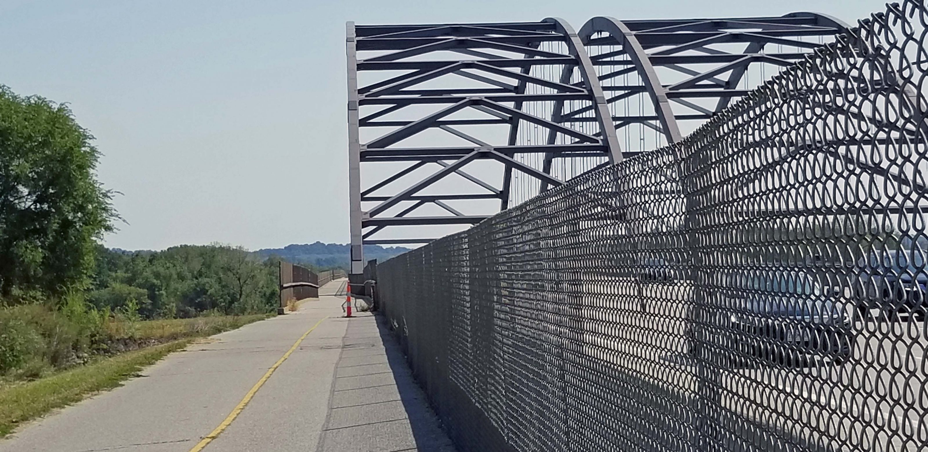
A section of the Centennial Greenway crosses the Missouri River via a separate lane on the MO Hwy 364 bridge. Hwy 364 connects St. Charles and St. Louis counties. On the St. Charles side, the greenway bridge connects to the Katy Trail; on the St. Louis side, it connects to the Creve Coeur Park Trail. The photo below shows the bike lane of the highway.
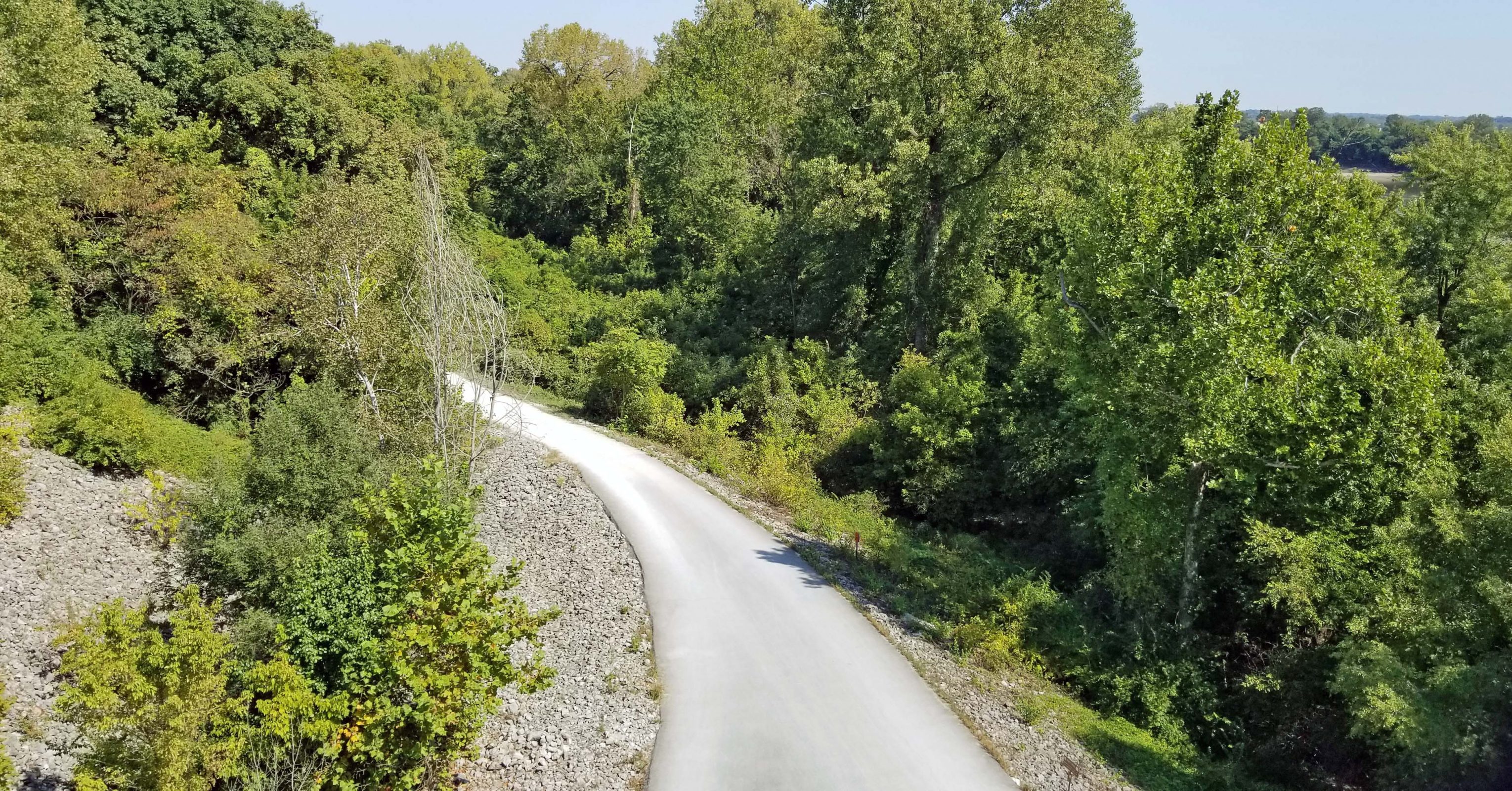
Since we parked near the Katy Trail trailhead, one of the first things we saw beneath the bridge was the Katy Trail.
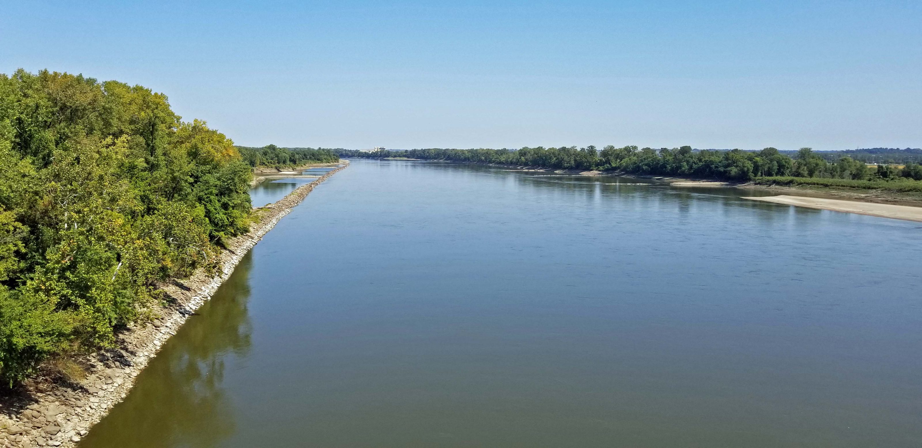
We haven’t biked across the Missouri River since the Great Flood of 1993 when we biked over the I-64 bridge to view the flooding of the Chesterfield Valley. The bridge and the St. Charles side of the river weren’t flooded, but the Monarch Levee on the St. Louis County side of the bridge failed and put the Valley under 20 feet of water. We couldn’t bike beyond the bridge. Today, you can see how low the river is. The breakwaters all show and there are visible sandbars. We need some rain.
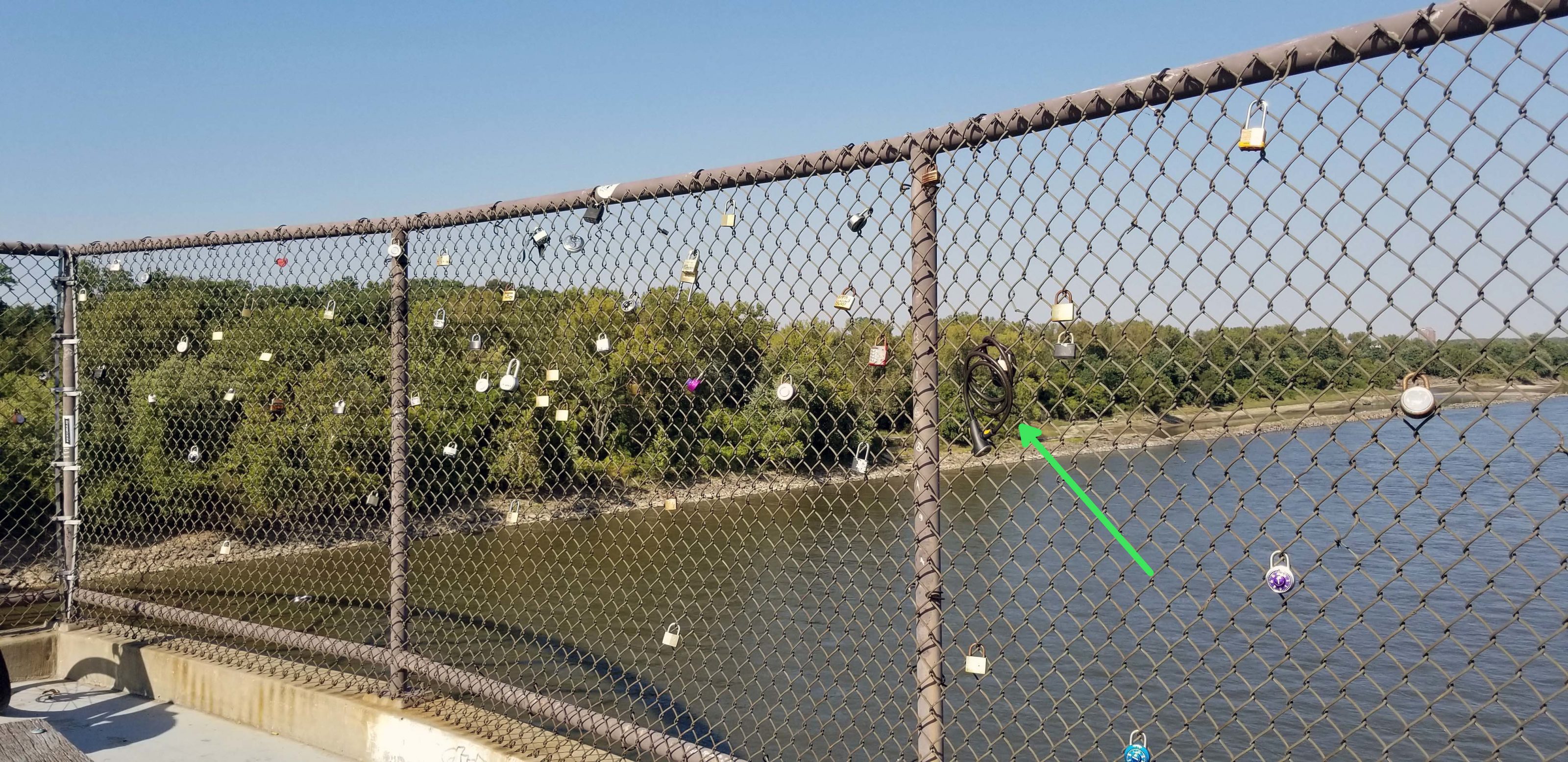
It doesn’t look like the “love locks bridge” in Paris, but this turnout on the bridge bike lane has a fledgling collection of locks. Is love stronger if you attach a cable bicycle lock to the fence instead of a simple padlock?
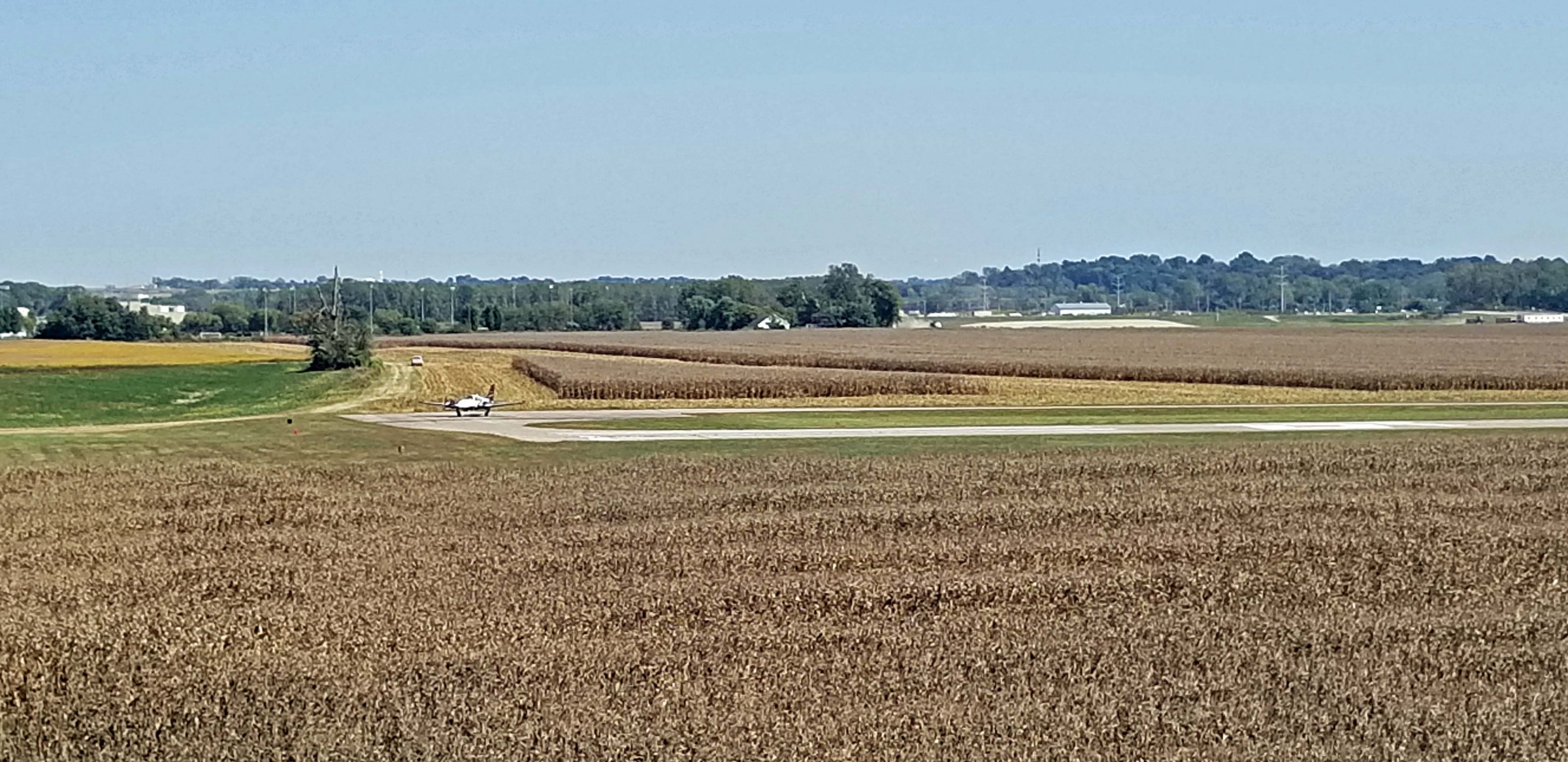
The first thing we saw in St. Louis County was the Creve Coeur Airport. There’s a small plane at the turn of the runway, preparing to take off (left center).
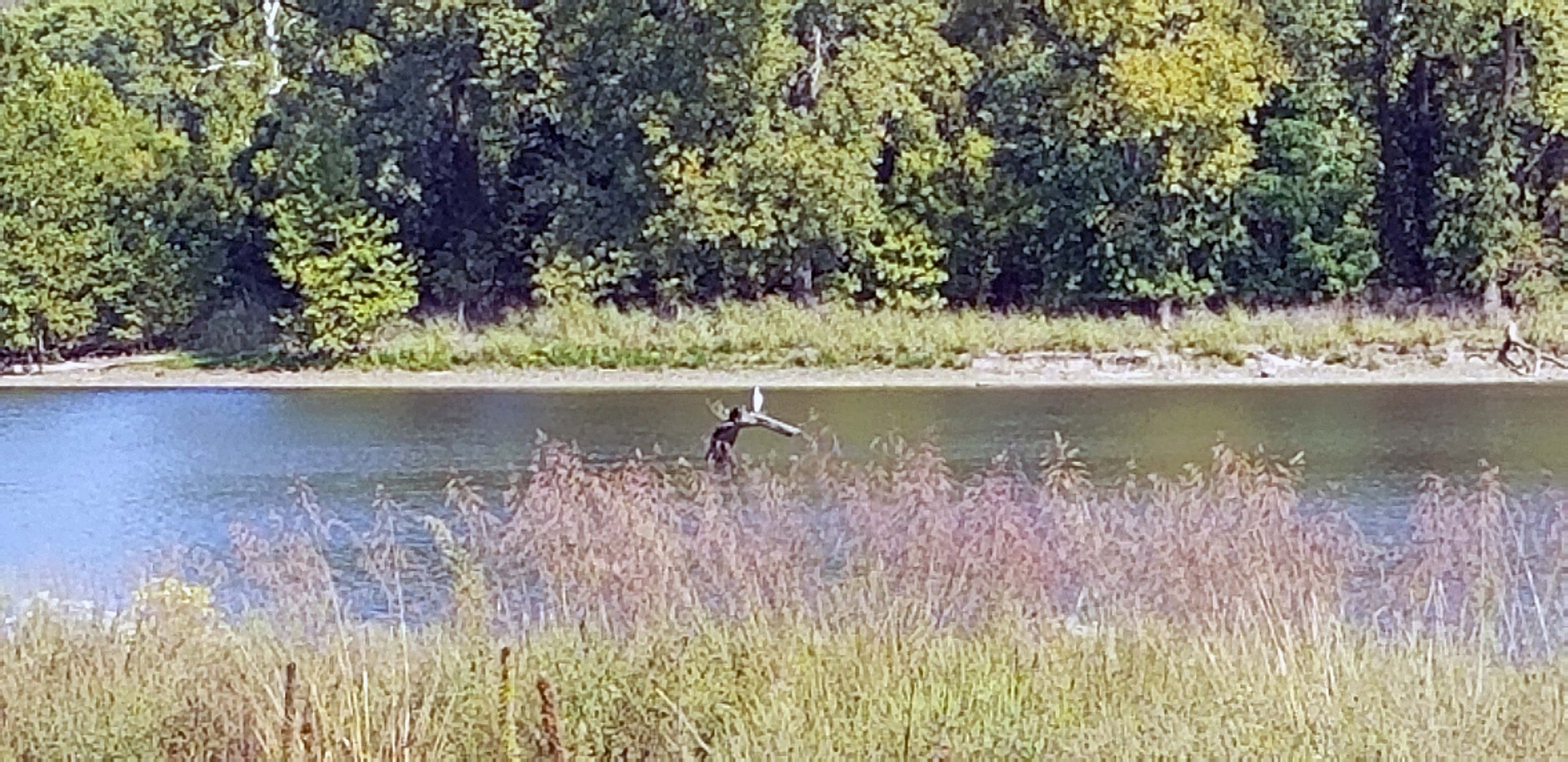
Creve Coeur Park is the largest park in St. Louis County and includes one of the largest natural lakes in Missouri. The lake is named–surprise!–Creve Coeur Lake. A large portion of the park is wetlands. (That sounds better than saying “A large portion of the park is swampland.”) The wetlands are used for conservation purposes, including the study of several kinds of waterfowl. We saw a large white waterfowl, but it was too far away to positively identify it. We think it was a crane. It’s sitting on the log sticking out of the water.
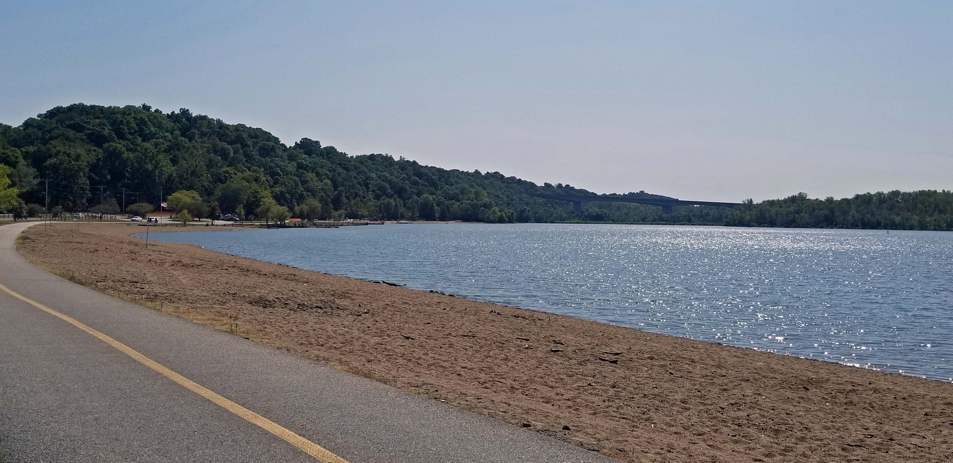
The park has a paved walking / biking trail, a playground, picnic pavilions, boat docks with canoe and kayak rentals, a sand beach (no swimming allowed), a variety of athletic fields (tennis, soccer, archery, and more), and a golf course. It is one of the most popular parks in the region and the Creve Coeur Park Trail is described as “heavily trafficked.” This is true. We did a lot of bobbing and weaving with our bikes and I felt like a stuck record when I kept passing walkers and saying, “On your left.”
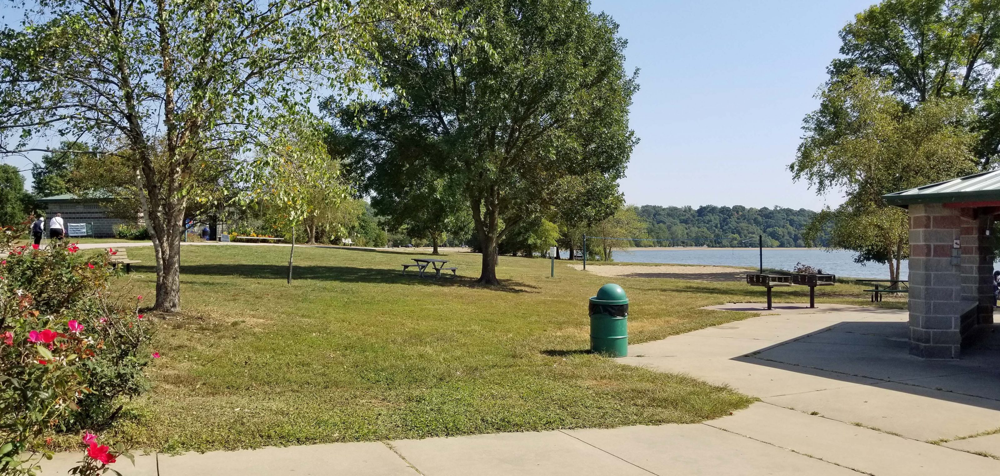
Here’s a view of the sand beach area (it’s called a beach, but swimming is prohibited) and the lake with the boat docks and rentals at the curve of the beach.
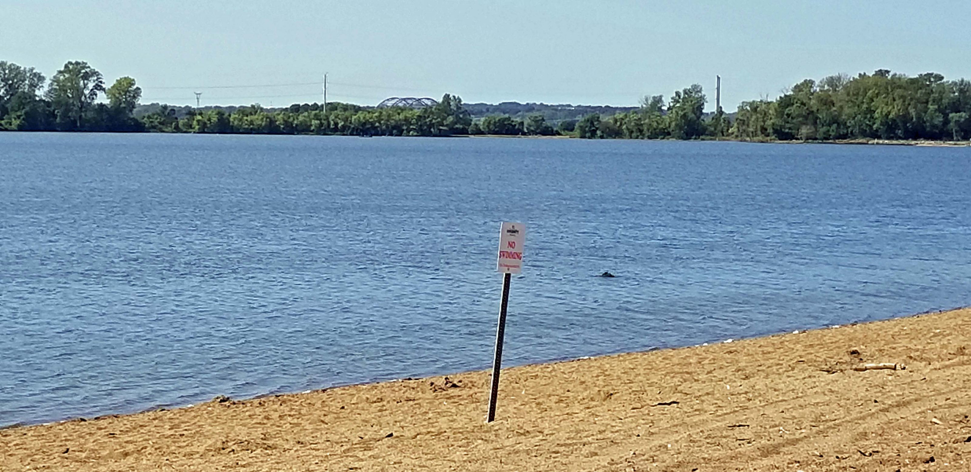
Looking in the opposite direction, you can see the Hwy 364 bridge we crossed in the distance (center) and the “no swimming” sign.
Picnic pavilions are scattered over this section of the park.
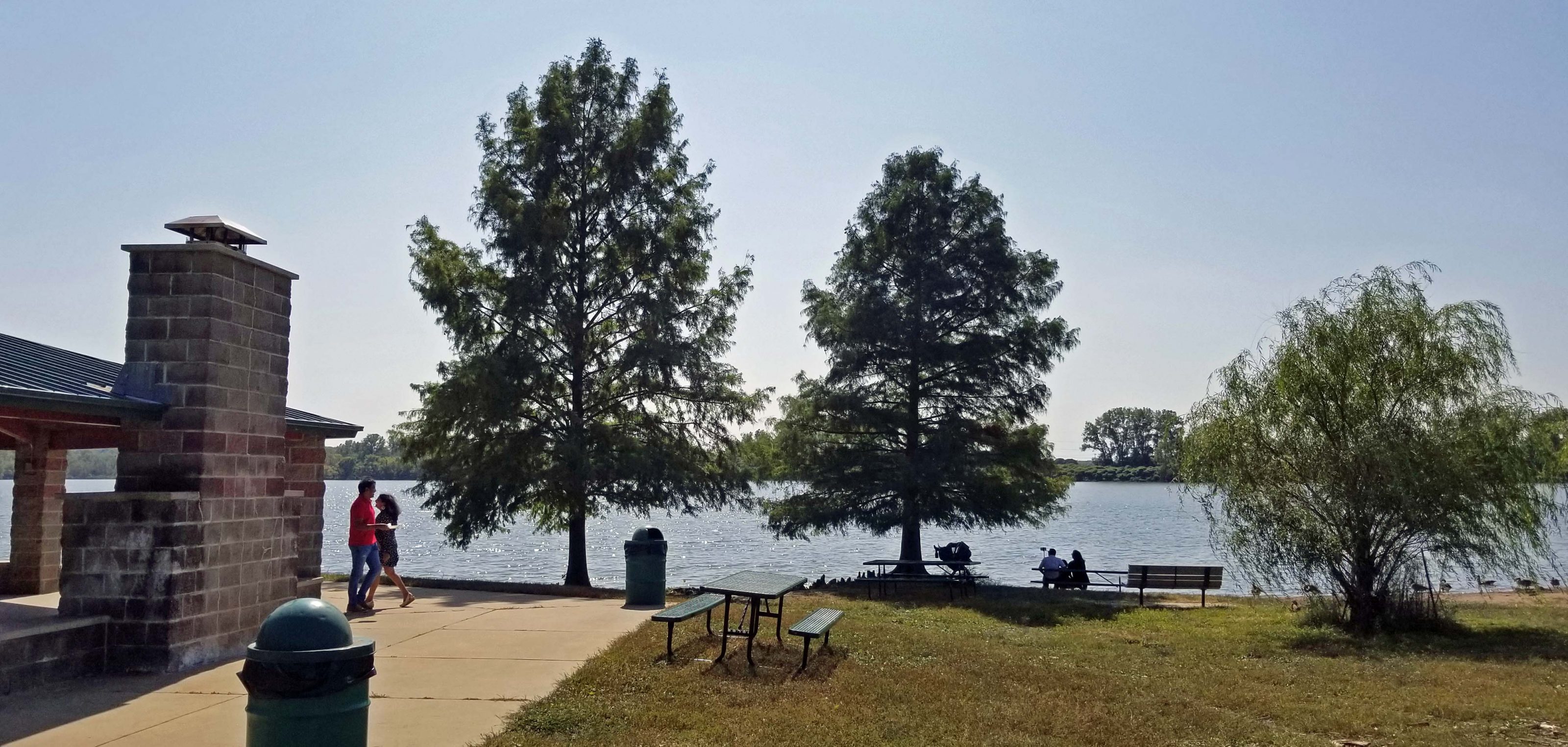
There are lots of park benches, so it’s easy to find a place to sit and look at the lake.
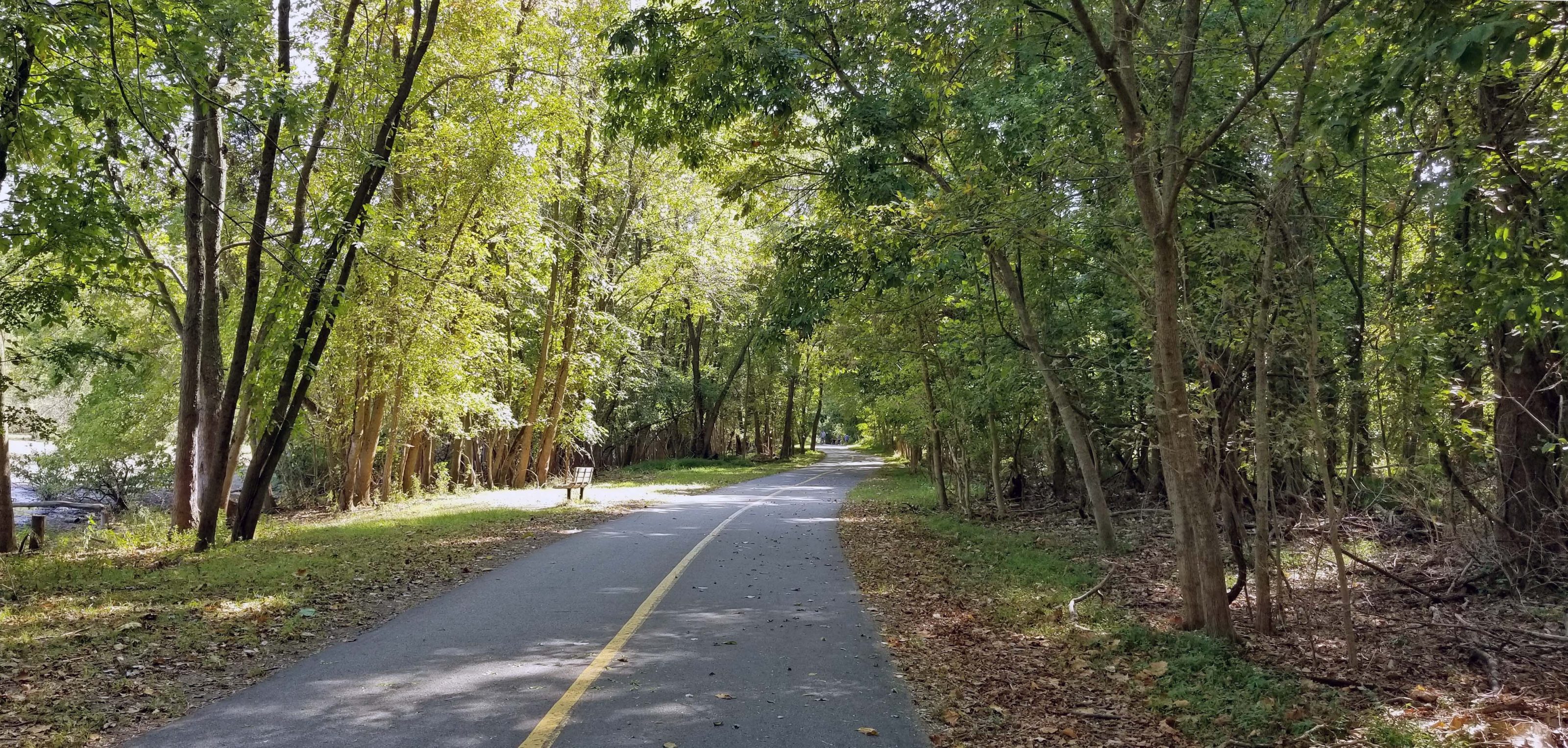
Except for the beach / picnic areas and the athletic fields, much of the trail that circles Creve Coeur Lake is wooded.
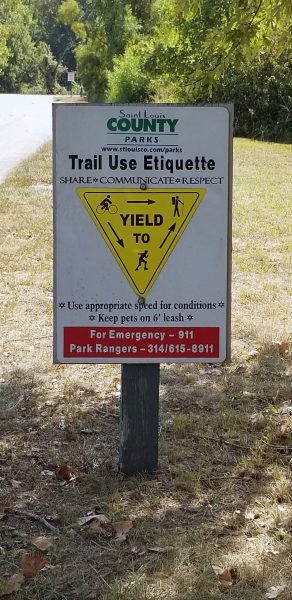
In case you don’t know, “Trail Use Etiquette” signs are posted along the trail.
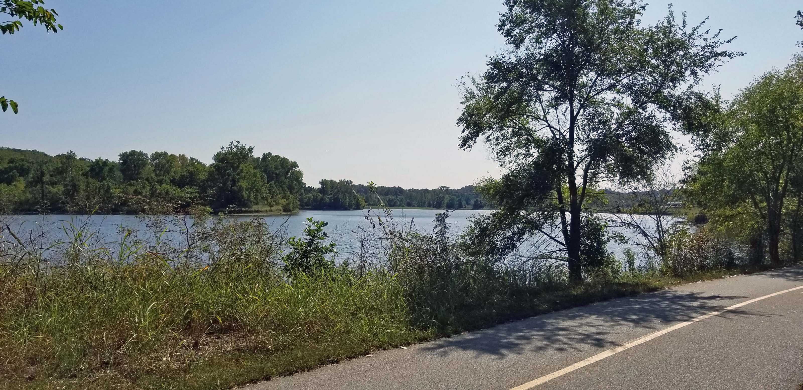
Mallard Lake is a smaller body of water adjacent to Creve Coeur Lake. When Creve Coeur Lake was dredged in 2003, Mallard Lake was added as a siltation lake to prevent the need for later dredging. I’m not sure what that means or how it works, but it sounds like a good idea. A trail circles Mallard Lake as well and it is far less crowded than the trail around Creve Coeur Lake. Here’s a view of Mallard Lake.
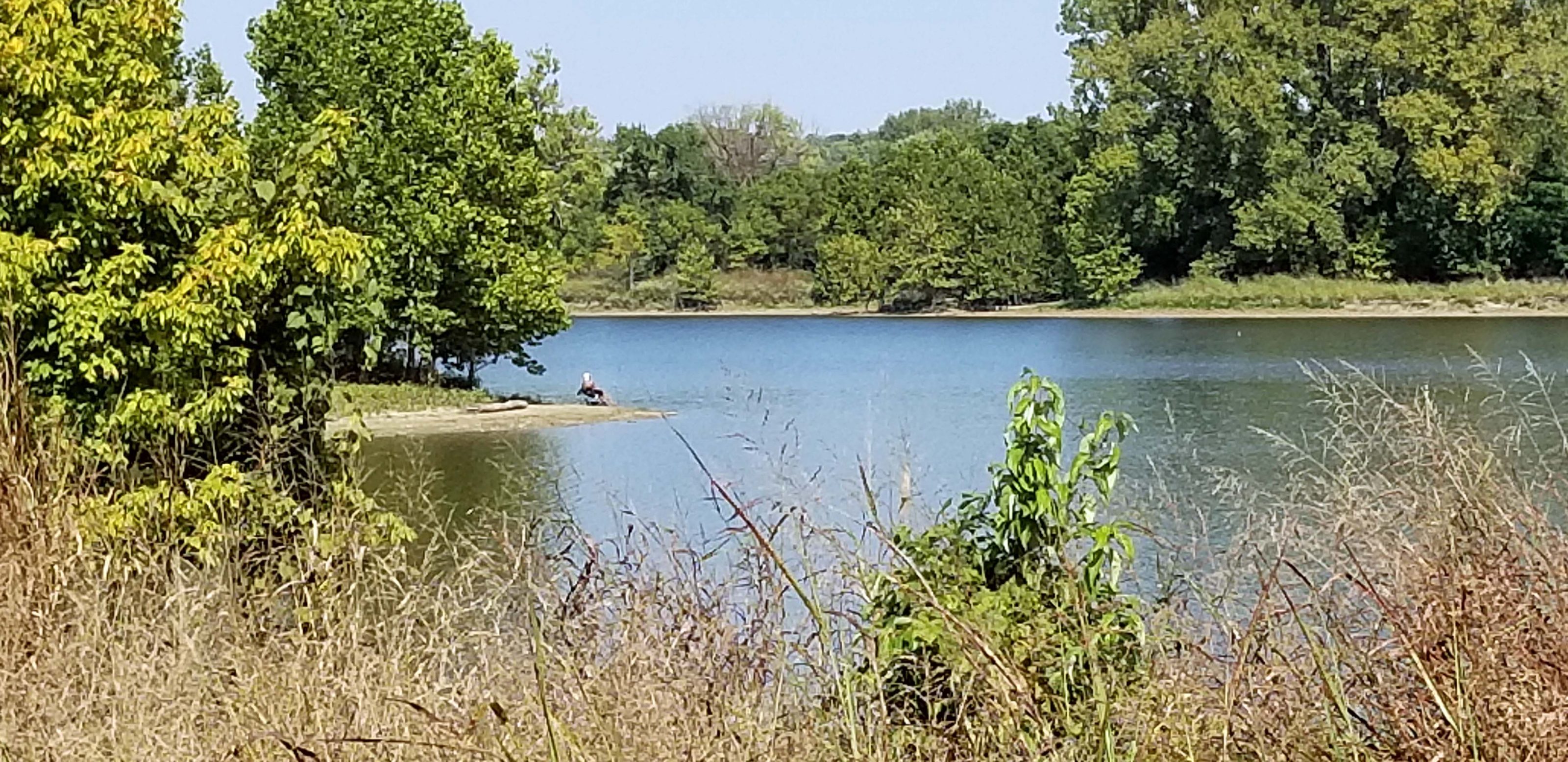
This lady brought a lawn chair and is enjoying the peace and quiet while she does some fishing in Mallard Lake.
When we finished circling both lakes, Ted and I headed back across the Missouri River to our car. We had a great 20+-mile ride and it was fun to cross the Missouri River via the bridge bike lane.
Next on the bike ride wish list: Cross the Missouri River via the bike lane on I-64 to bike the (rebuilt) Monarch-Chesterfield Levee Trail through the (formerly flooded) Chesterfield Valley.