Today, Ted and I biked our next westward section of the Katy Trail and set a personal record: 42.87 miles round-trip. We started at Dutzow, where we ended on August 6, and headed for the Gore trailhead.
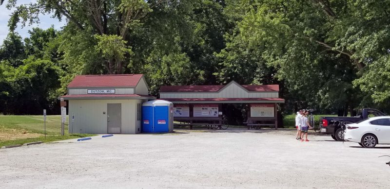
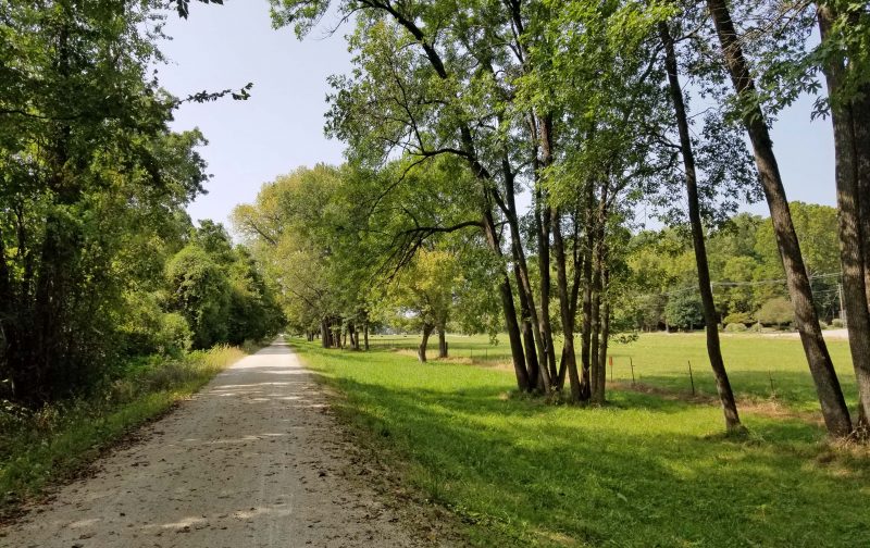
This part of the trail passes only two communities, so there are a lot of country scenes. There is also very little hiking / biking traffic on this part of the Katy so we had a pleasant, quiet, and mostly solitary ride today.
If you zoom in on the picture below, you can see black dots in the center. Those are Black Angus cattle, grazing between the trail and the road. We passed this point shortly after we started biking and, when we returned more than two hours later, I don’t think the cattle had moved. They were still grazing right where we left them. The same was true of a horse we saw standing at a fence beside the trail, still in the same place two hours later and still looking in the same direction.
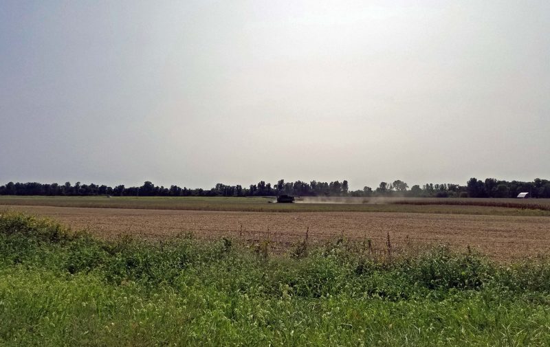
Here’s a farmer harvesting his soybeans on a beautiful sunny day.
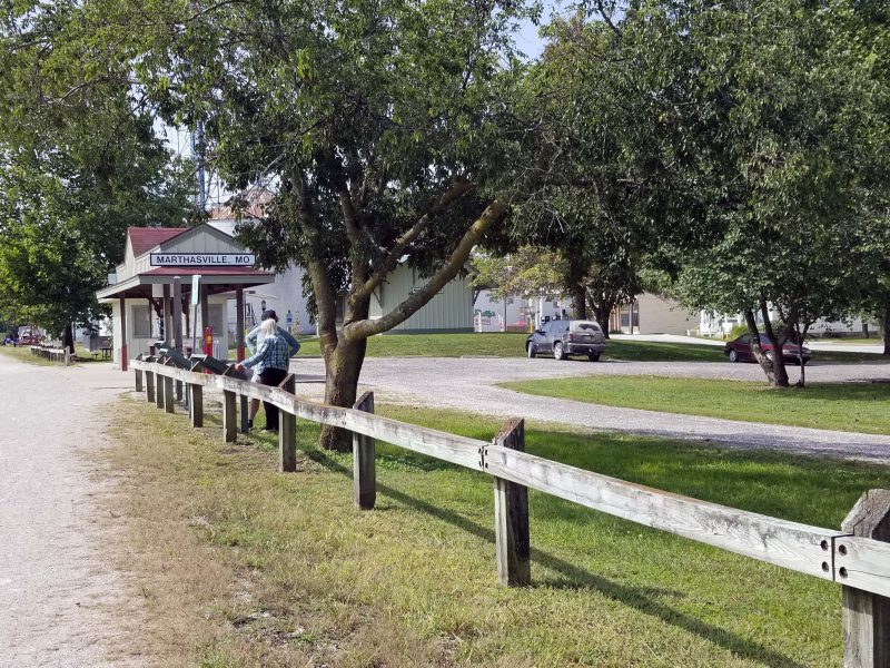
The next trailhead after Dutzow is Marthasville. It looks like a nice little village, but we had a distant goal, so we didn’t explore. We took a water break and moved on.
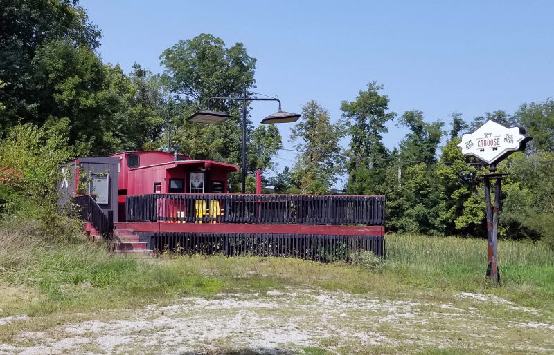
We passed the Caboose, a snack bar along the Katy. It doesn’t look derelict, but it does look deserted. Maybe closed for COVID this summer?
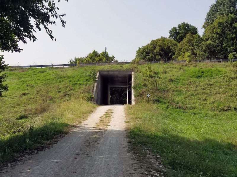
There are frequent over and under the road crossings on the Katy. Here’s an underpass that goes through the levee and beneath MO Hwy 47, as indicated by the sign on the right side of the underpass.
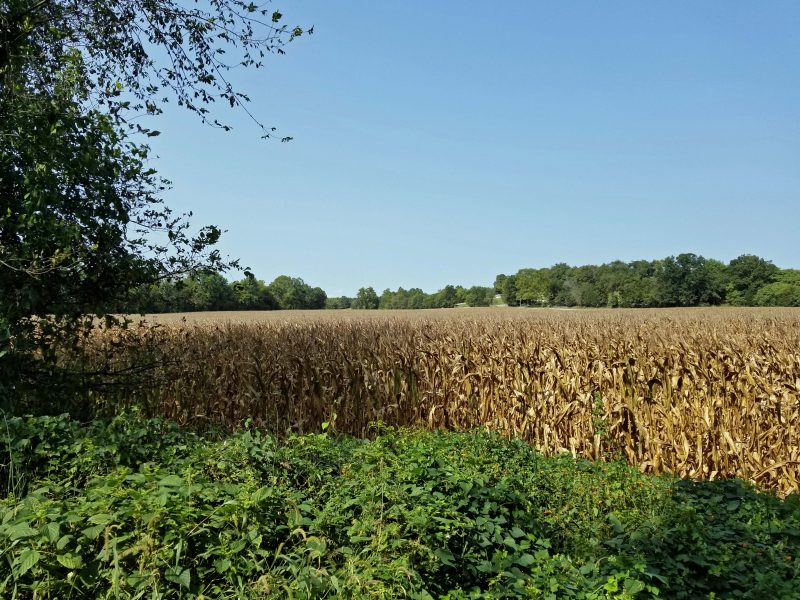
We’re still in the country. The corn is past its prime for human consumption, but the scene is pretty.
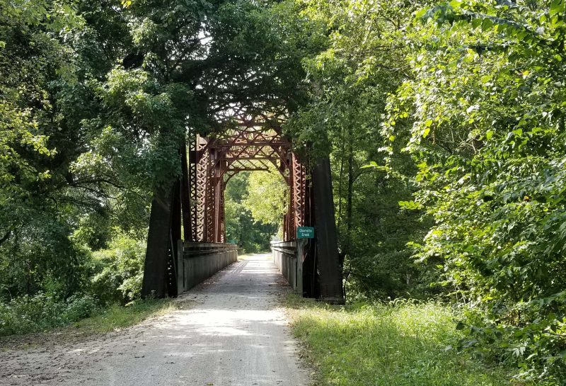
The Katy also passes over old railroad bridges. We rode across four of them on our route today.
The other community along this route is Treloar.
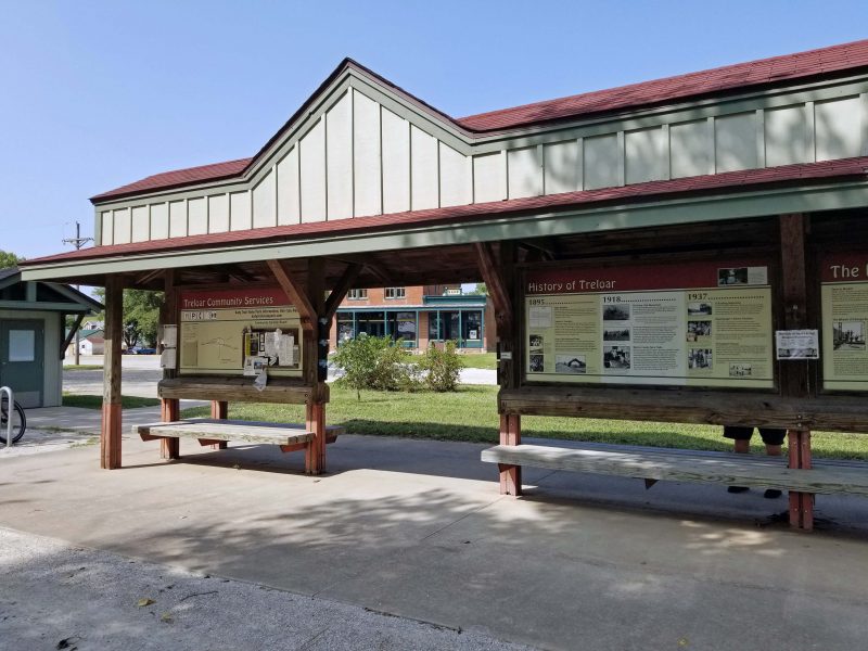
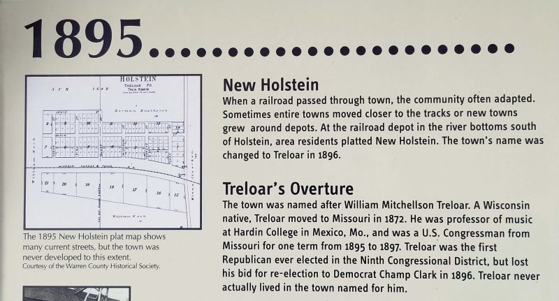
The information provided at the site was interesting to Ted and me. We learned that Treloar used to be called New Holstein. Ted grew up near New Holstein, WI. A year later, the town was renamed Treloar, after a man from Wisconsin.
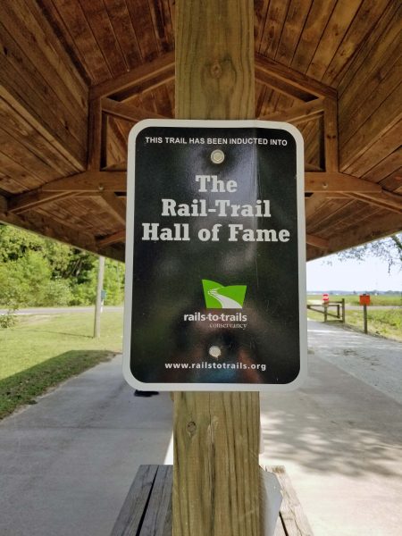
The Katy Trail State Park is the longest state park and the longest rail trail in the nation. The trailhead depots all include a sign of pride.
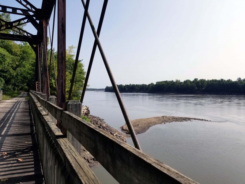
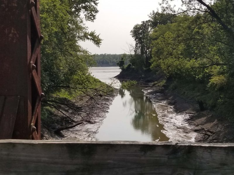
Because the Katy Trail generally follows the Missouri River, we always have some pretty river views on our rides. Here’s what we saw from one of the railroad bridges we crossed. We haven’t had much rain lately, so the river is low.
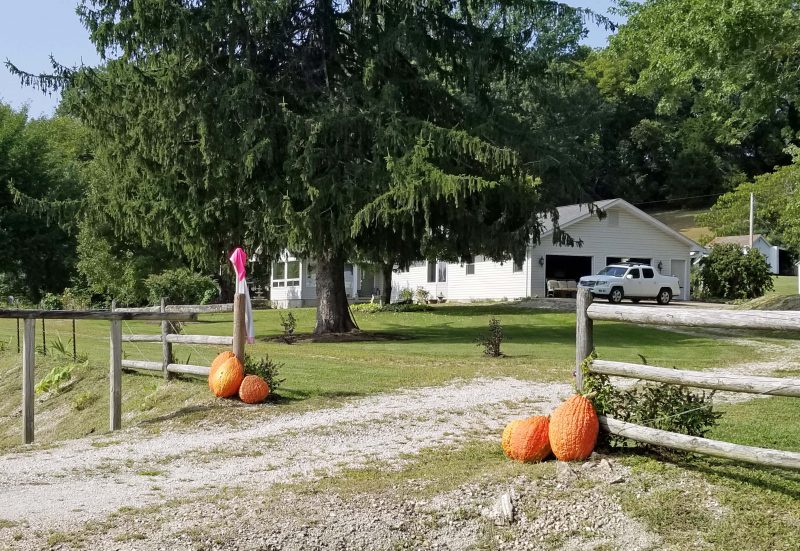
Residents along the trail sometimes decorate for trail users. Today we saw pumpkins at a farm and a flowerbed surrounding one of the trail benches (no photo of that).
When I saw the sign for Lost Creek, my first thought was “We found it!” It flows under one of the railroad bridges into the Missouri River.
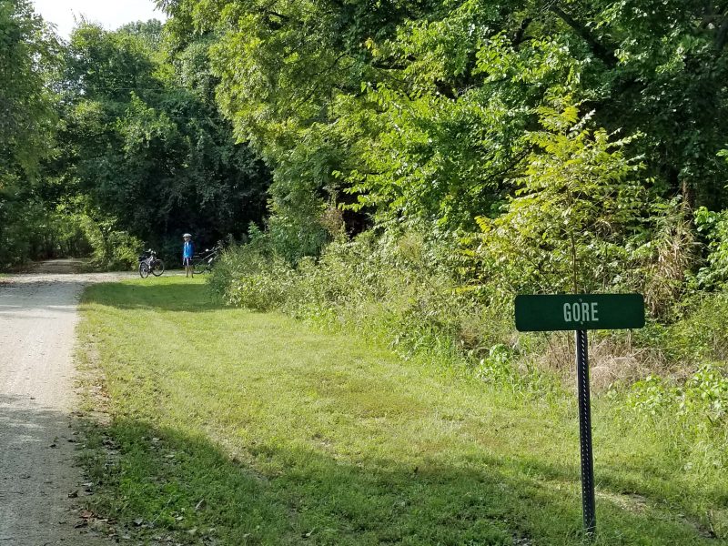
Ted and I picked Gore as our turn-back point today. It was 21+ miles from Dutzow, so we biked over 40 miles today–the farthest we’ve ever gone on a single ride. Our only regret was that we left some homemade cookies and apples in the car for a snack before heading home. We wished we had some cookies to eat at Gore.
If the weather holds, we’re hoping to make it another 20 miles west on the Katy this fall. That will take us about 15 miles past Hermann (McKittrick trailhead). Next year, we’re planning to pick up where we leave off this year and end our Katy Quest about 20 miles west of Columbia, MO. It’s a 90-minute drive to Columbia, and we don’t really want to drive farther than that for a bike ride. When the drive time exceeds the bike time, it’s time to do a multiple-day ride or find something closer to home.