Christchurch, NZ is named for Christ Church, Oxford (England). It is on the Canterbury Plains, a large, flat agricultural area that ends at the foothills of the Southern Alps. Christchurch is also a well-known gateway to Antarctica, so many Antarctic expeditions leave from the city. The USAF has an Antarctica weather simulator in Christchurch. It simulates any weather conditions that might occur in Antarctica and is used for training people who are going there.
Today, Ted and I had a two-hour ride through the Canterbury Plains on our way to the Southern Alps. Facts we learned on the drive: (1) There are more sheep than people in New Zealand; (2) dairy farms are prolific because China is a huge market for NZ’s powdered milk; (3) fields in NZ are paddocks; (4) farms in NZ are stations; and (5) forest fires in NZ are bush fires. The white spots in the paddock in the first picture are sheep. What else?
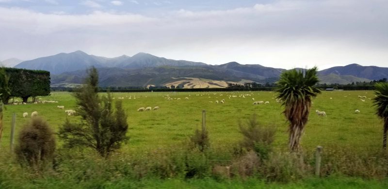
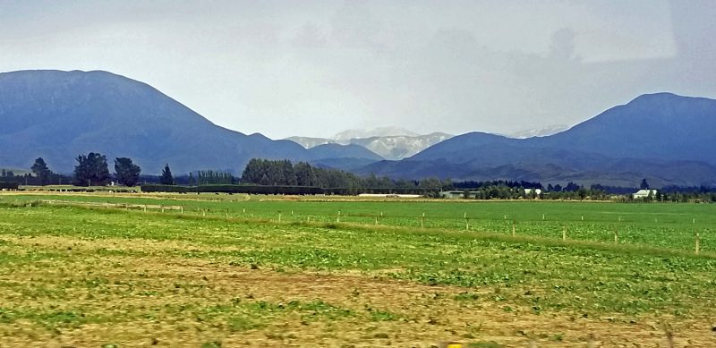
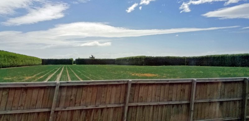
Strong winds are a daily part of life in this region, so the flat paddocks are broken by many, many windbreaks that enclose small areas. The windbreaks consist of a row of pine trees, trimmed along the sides and the tops by professional companies, usually annually. I had a glimpse of the top of a windbreak once and the full-size, sawn-off tree trunks were visible. They are cut off because, otherwise, they will become so tall that the winds will blow them over. The sides of the windbreaks are trimmed back so they will grow fuller. The windbreaks are 15-20 feet tall and 8-10 feet wide and they are so dense, you can’t see through them.
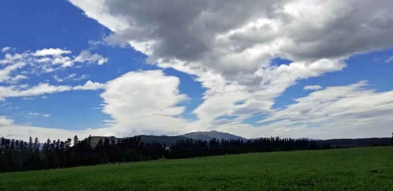
The field in the first photo below has windbreaks around three of its sides. The second photo is a “cloud picture” for my meteorologist travel partner. Note that both pictures feature lenticular clouds–indications of very high winds aloft. (That was meteorologist-speak.)
The real fun began today with a jet boat ride on the Waimakariri River through the Waimakariri Gorge. (Note to Jeff: You should have bought a jet boat instead of jet skis. Or maybe in addition to jet skis.) The weather is cold today (mid-50s) and the winds were 60-70 mph in the gorge–about 40-50 mph elsewhere. I think this area must have only one hairstyle: windblown. The boat pilots told us it hasn’t been this windy for weeks. (Yeah, right.) They also mentioned that the river is unusually low. Three weeks ago, it was flowing at 800 cubic meters per second; today it was flowing at 60 cubic meters per second. What a ride we could have had three weeks ago!
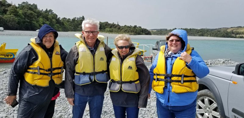
Here we are, outfitted in layers of jackets to keep warm, then protected by a “spray jacket” to keep us dry, and a life preserver. We were advised to wear sunglasses because of the wind blowing against the forward speed of the boat. There were times the wind blew so hard against my sunglasses that it was painful. I actually have small bruises on each side of my nose from the wind pressure against my sunglasses.
Our group was put into two boats. The boats go about 50 miles an hour–a little less upstream and a little more downstream–and are capable of spinning 360 degrees, creating a lot of spray. The pilots had fun spinning us around and zigzagging back and forth down the river as if we were slalom skiing.
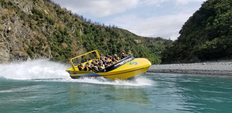
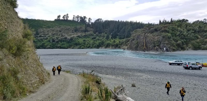
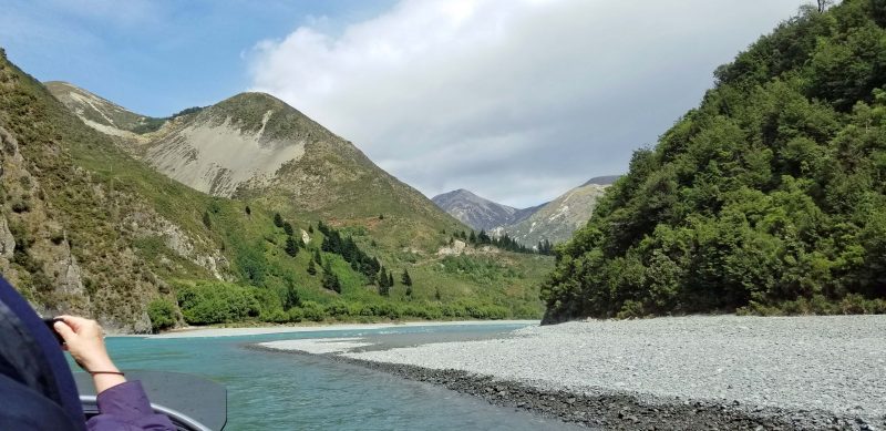
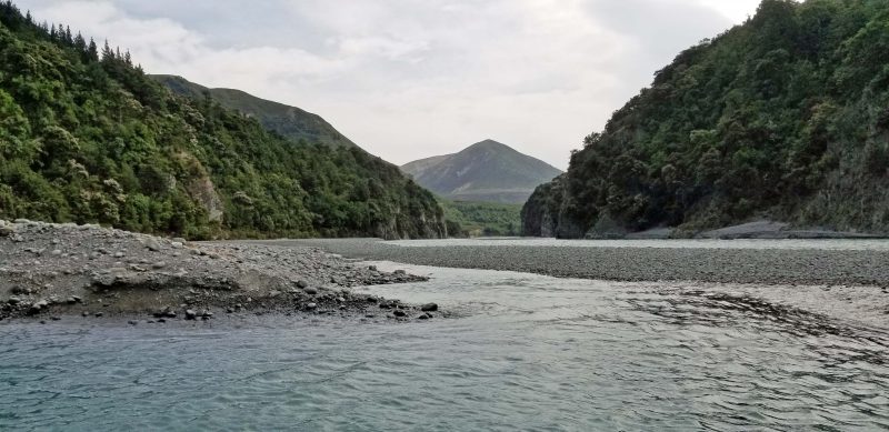
The scenery was amazing. There was a beautiful view around every bend of the river. You can see how low the river is because the gray stoney material is usually underwater. The jet boats don’t need much water depth. They take in water through a port in the bottom and spew it out of a port in the back. Our boats launched at the point shown in the first picture and, yes, we went forward through that shallow water in the third picture.
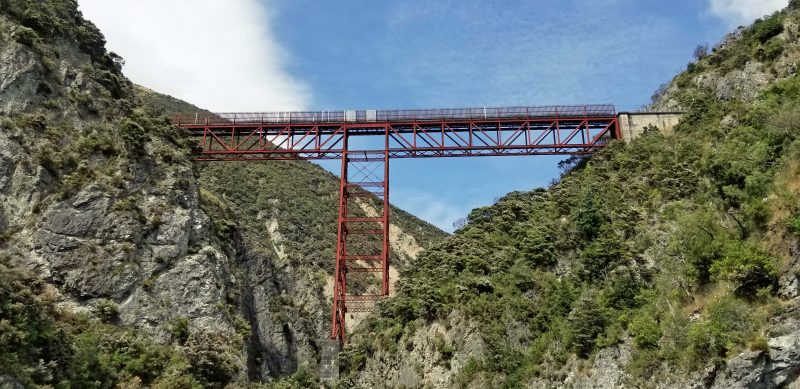
This train bridge was built by the British because they didn’t trust the New Zealanders to do it (or so our pilot told us). The upright rails along the track are 15 feet tall and are separated to break the wind. Without them, there’s a strong possibility the wind would blow the train off the tracks.
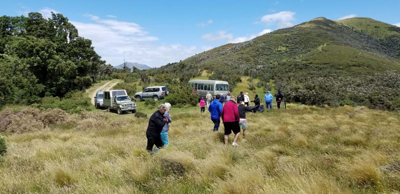
After the fun of the jet boat sightseeing adventure (we did at least six 360-degree turns just for joy), it was time for lunch; then we piled into four-wheel drive vehicles for an off-road ride through more gorgeous scenery.
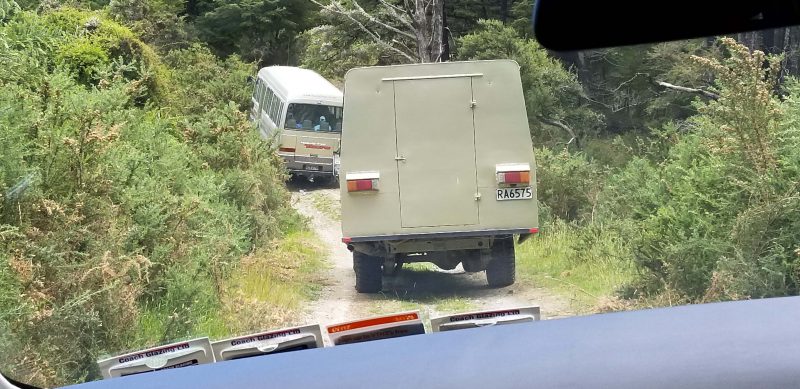
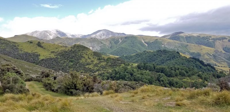
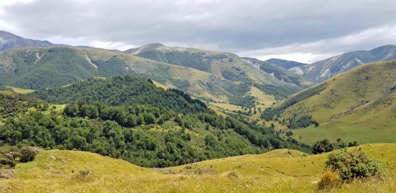
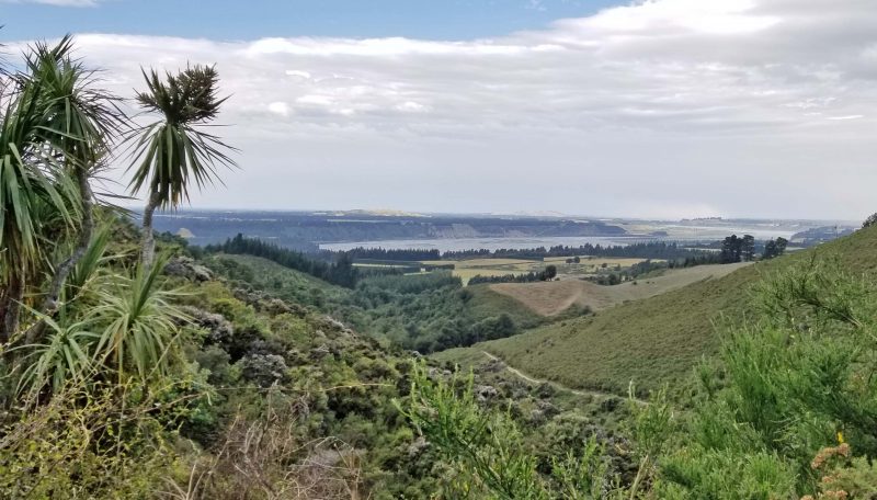
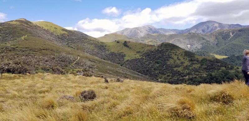
The “off-road” description was accurate: sometimes we drove across paddocks and, when there was a dirt trail, it had to be negotiated carefully by our drivers to avoid rocks, etc. that would damage the undercarriage. Our destination was a high point with amazing views in every direction. The river in the fourth picture below is the one we followed in the jet boats. Standing on a high point and seeing the Southern Alps in every direction reminded me of our views of the Swiss Alps from Gornergrat last summer, even though the mountains are different.
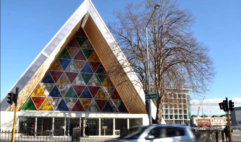
On the way back to our ship, our bus driver took us on a tour of Christchurch. We didn’t make any stops because we needed to return before the ship’s sailing time, but the Cardboard Cathedral was definitely a point of interest. The Transitional Cathedral was significantly damaged in the 2011 Christchurch earthquake, and the Cardboard Cathedral was erected in 2013 as a temporary substitute. It is made of 24-inch diameter cardboard tubes, timber, and steel. The roof is polycarbon, and eight shipping containers form the walls. It has become the most iconic landmark of Christchurch.
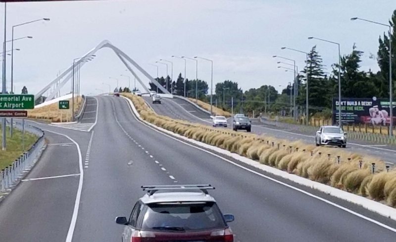
We also saw an interesting bridge. The structure is located on an overpass on the approach to the Christchurch airport. The architect intended it to frame the mountains behind the airport. Unfortunately, a hotel was built between the overpass and the mountains, so the bridge structure now frames a high-rise hotel instead. C’est la vie?
The mountains we saw were, technically, the foothills of the Southern Alps. There is a train that runs from Christchurch to the west coast of the southern island of NZ, crossing the Southern Alps. Our guide said it’s a beautiful ride in the winter when the mountains have snow. Unfortunately, we spent only one day in Christchurch, so there wasn’t time to include the train ride in our schedule. It’s a good reason for us to come back another time.